Uniquely, the cycle tracks on South Bank Road in Cargo Fleet, Middlesbrough, are 12 feet wide, which is 3 feet wider than most period cycle tracks and 2 feet wider than the cycle tracks on nearby Wolviston Road, opened in 1944.
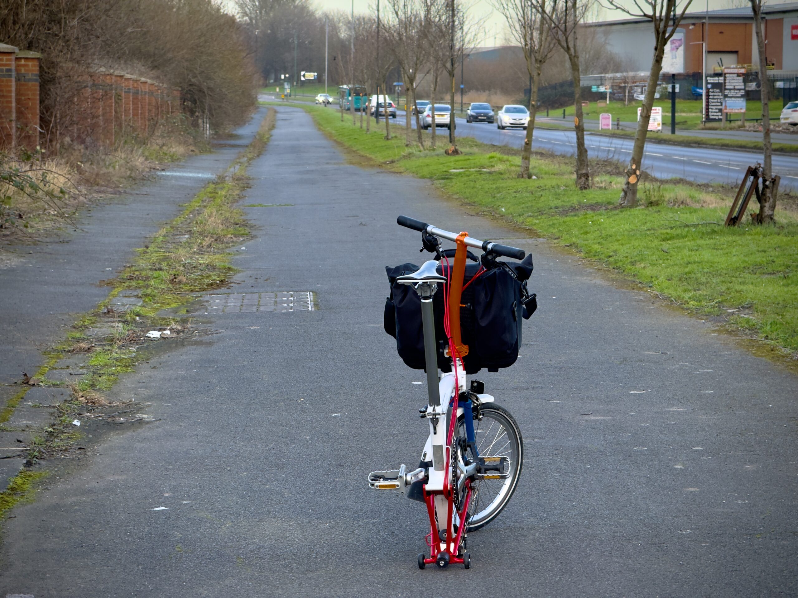
South Bank Road’s cycle track is 12 feet wide for its full length.
I have yet to find evidence confirming the South Bank Road tracks date to the 1930s but, for several reasons, it’s extremely likely they are period. The anatomy of the tracks, including their concrete surfacing, and the proximity of nearby tracks such as the ones on Haverton Hill as well as Wolviston Road strongly suggest that Teeside local authorities built wider-than-the-average cycle tracks for period workers travelling from municipal and corporate housing to industrial plants such as Teeside’s many iron foundries and chemical works.
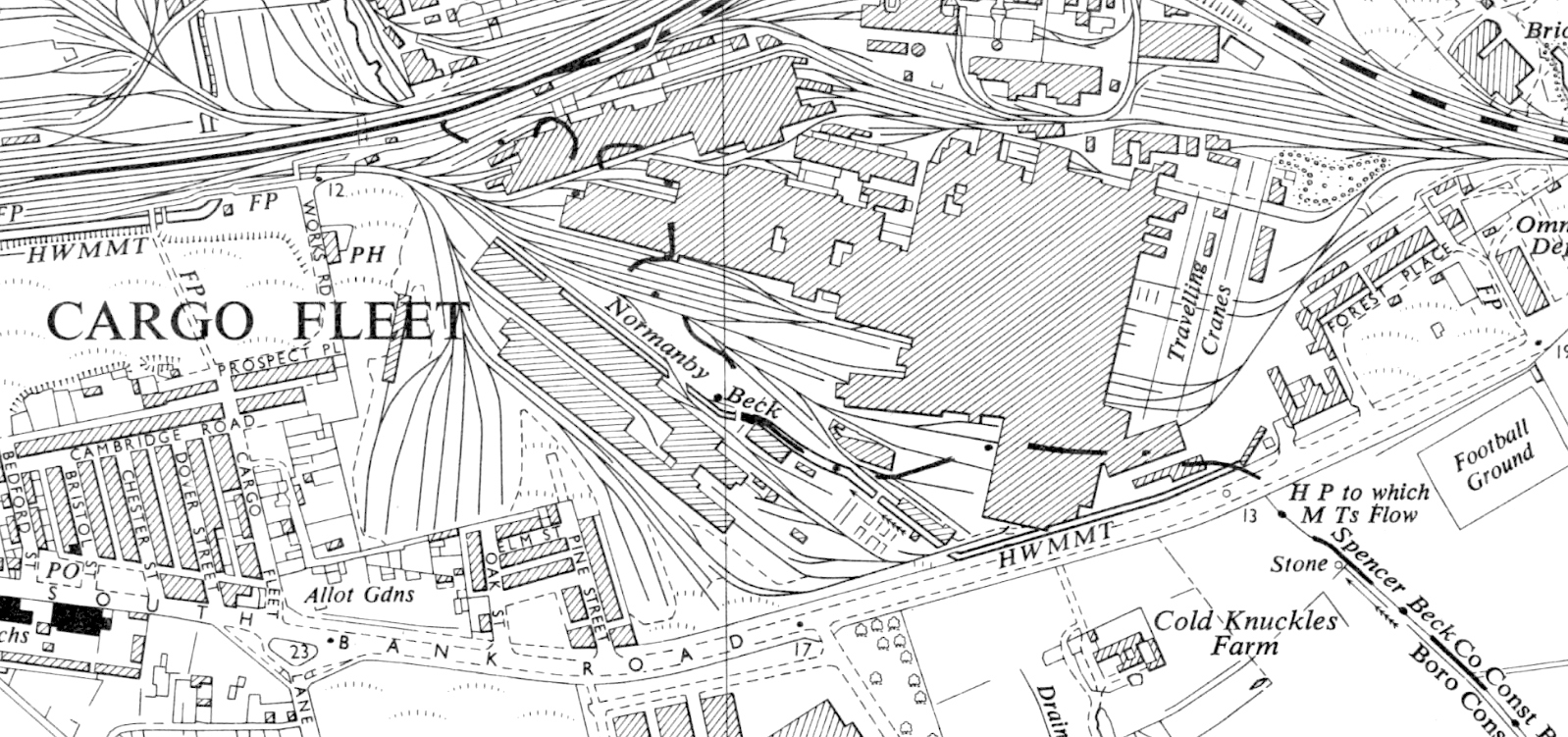
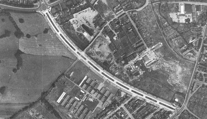
Hatching shows the extent of the South Bank Road cycle track. The road and the cycle track remain while the factories are long gone. The Cargo Fleet iron company HQ building — now offices — is left of the omnibus depot on the right.
South Bank Road dates to the mid to late 1850s — it was not shown on this OS map of 1855. On this 1895 OS map it is known as New Road.
It runs between North Ormesby and South Bank via Cargo Fleet. South Bank Road was one of the last private toll roads in Britain. Local landowners — including developers of the area’s iron foundries and other heavy industries — maintained anachronistic tolls on this busy east-west road until 1916.
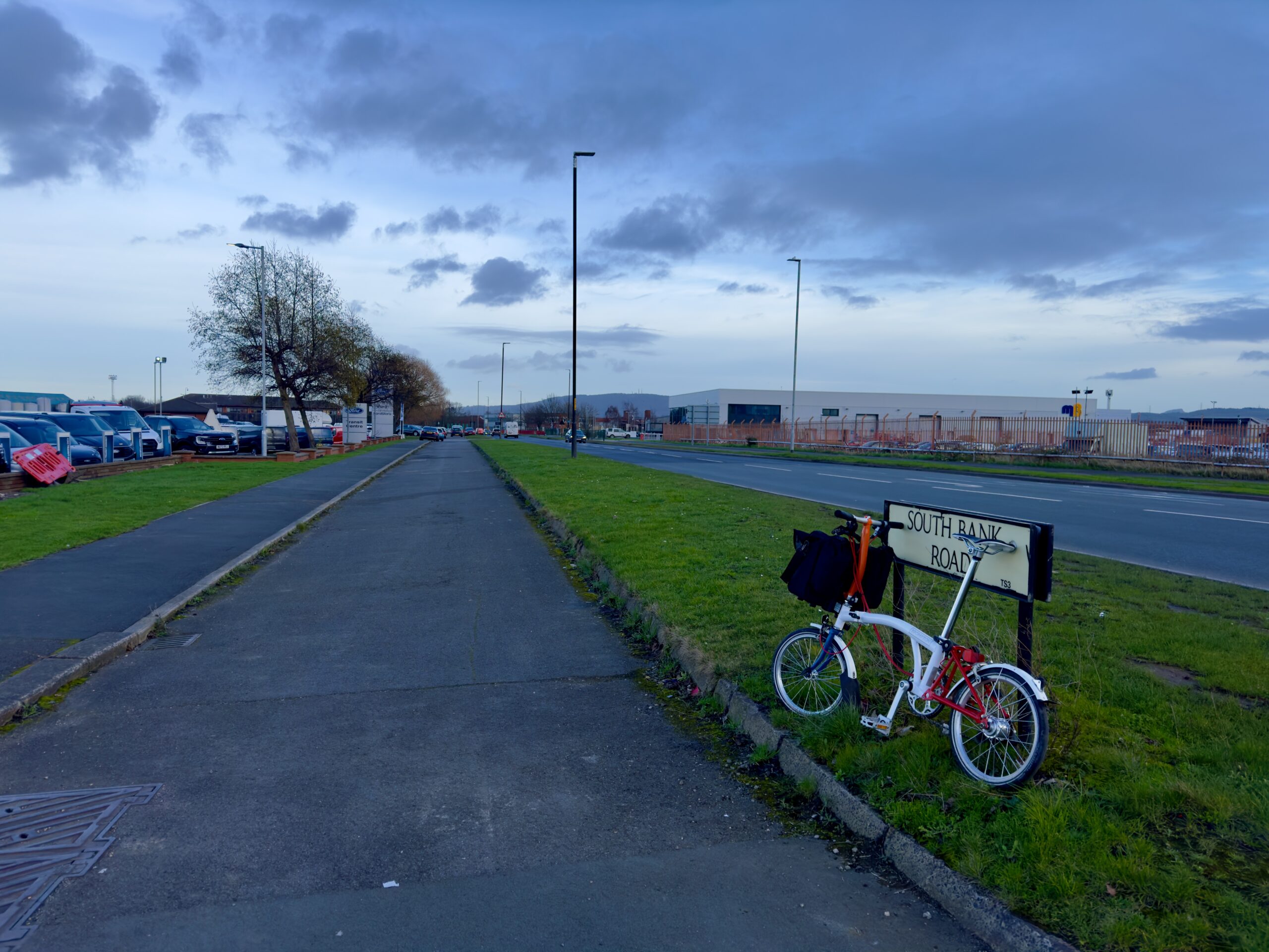
South Bank Road, South Bank, Middlesbrough.
Before the mid-1920s South Bank Road was the main road between Middlesbrough and Redcar. A southern bypass of the road was envisaged in the early 1920s and then recommended by a 1925 report by the eminent town planners Professor Abercrombie and Professor Adshead.

South Bank Road used to lead to municipal terraced housing on these streets. The terraced housing was demolished within the past 10 years.
“The authorities of Middlesbrough and Eston Urban District are wide awake to the great possibilities of this new artery,” reported a local newspaper in 1929. “It will relieve the congestion of heavy traffic on the present Middlesbrough to South Bank Road,” continued the newspaper.
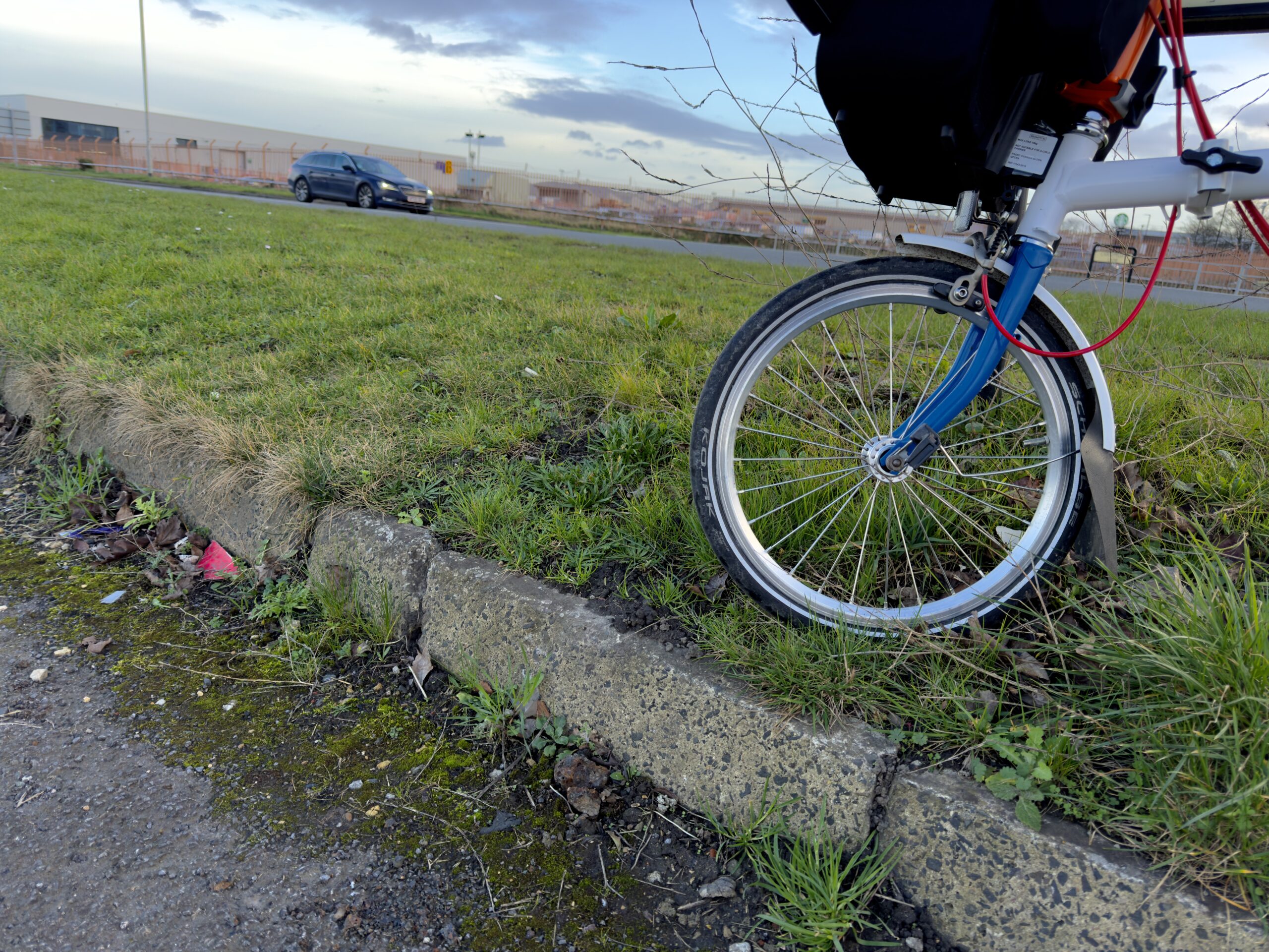
Deep period kerbing.
The Eston section of this bypass road, which became the A1085 — was built to the original width of 120 feet as unemployment relief between 1922 and 1935; it featured 10-foot wide footways. Much of the rest of the A1085 remained unbuilt through the 1920s and 1930s, with local authorities not agreeing that this “parkway” road should be as wide as 120 feet for its full 16-mile length. Called “Trunk Road” on modern maps, or Longlands Road, period maps show that it was incomplete in the 1930s.
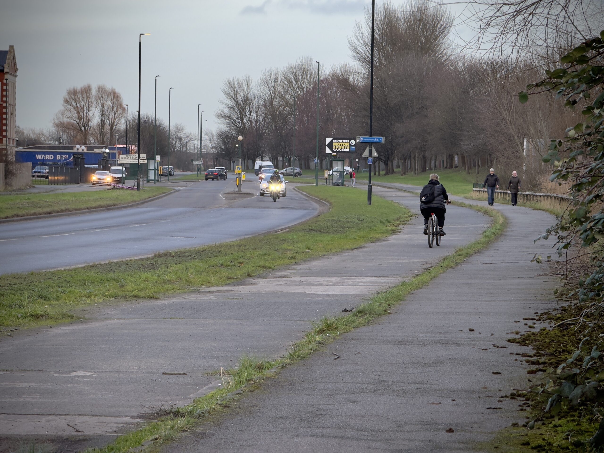
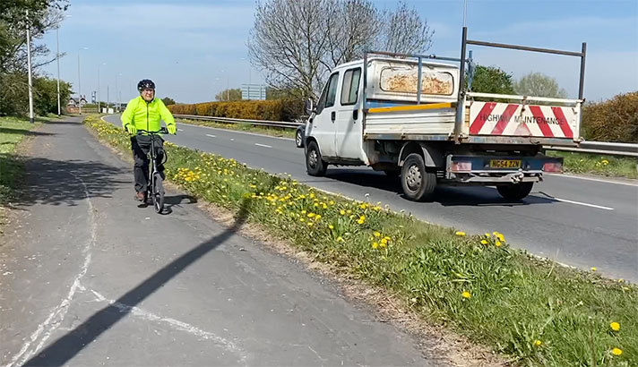
Cyclist using the South Bank Road cycle track in the opposite direction to that originally intended.
Period cycle tracks were often retrofitted to such new arterial roads but the A1085 was not so equipped. Instead, and unusually, cycle tracks were added to the much older South Bank Road.
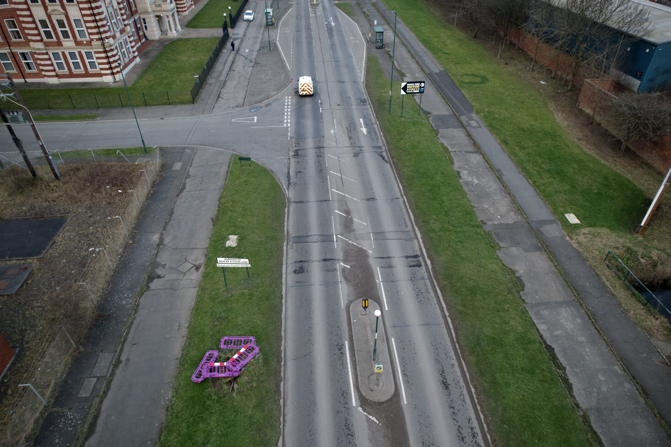
South Bank Road’s cycle tracks are on both sides of the road.
At North Ormsby, South Bank Road ended at a series of residential streets with mainly municipal housing; the road is now truncated by the modern A66 with much of the housing obliterated. At South Bank the road ended at terraced housing on Aire Street and Costa Street; the streets are still there but the housing was demolished within the last ten years.

South Bank Road’s period cycle tracks run in front of the Cargo Fleet iron works HQ, now offices.
South Bank Road’s cycle tracks can be seen in a 1970 video of a bus depot since demolished and replaced with other works. The bus depot was next to the Cargo Fleet iron works, the 1916 headquarters building for which has been renovated and is now used as offices.
South Bank Road’s period cycle tracks are part of National Cycle Route 1 and the 7,250 km long EuroVelo 12 North Sea Cycle Route. However, the cycle tracks are so wide that some cyclists mistake them for service roads and ride, instead, on the adjacent footway.

Cyclist using footway rather than the cycle track on South Bank Road.
The cycle track is not flush with the road at the stretch opposite the Cargo Fleet iron works building. Instead kerbing blocks the entrance to the cycle track. In the 1970 video, the entrance to the cycle track was not blocked with kerbs.

The kerbs blocking the entrance to the period cycle track were added some time after 1970.


