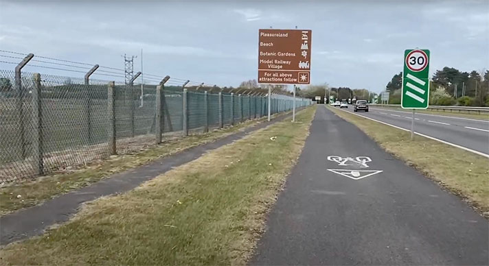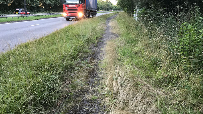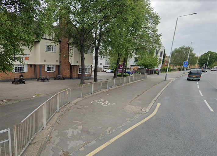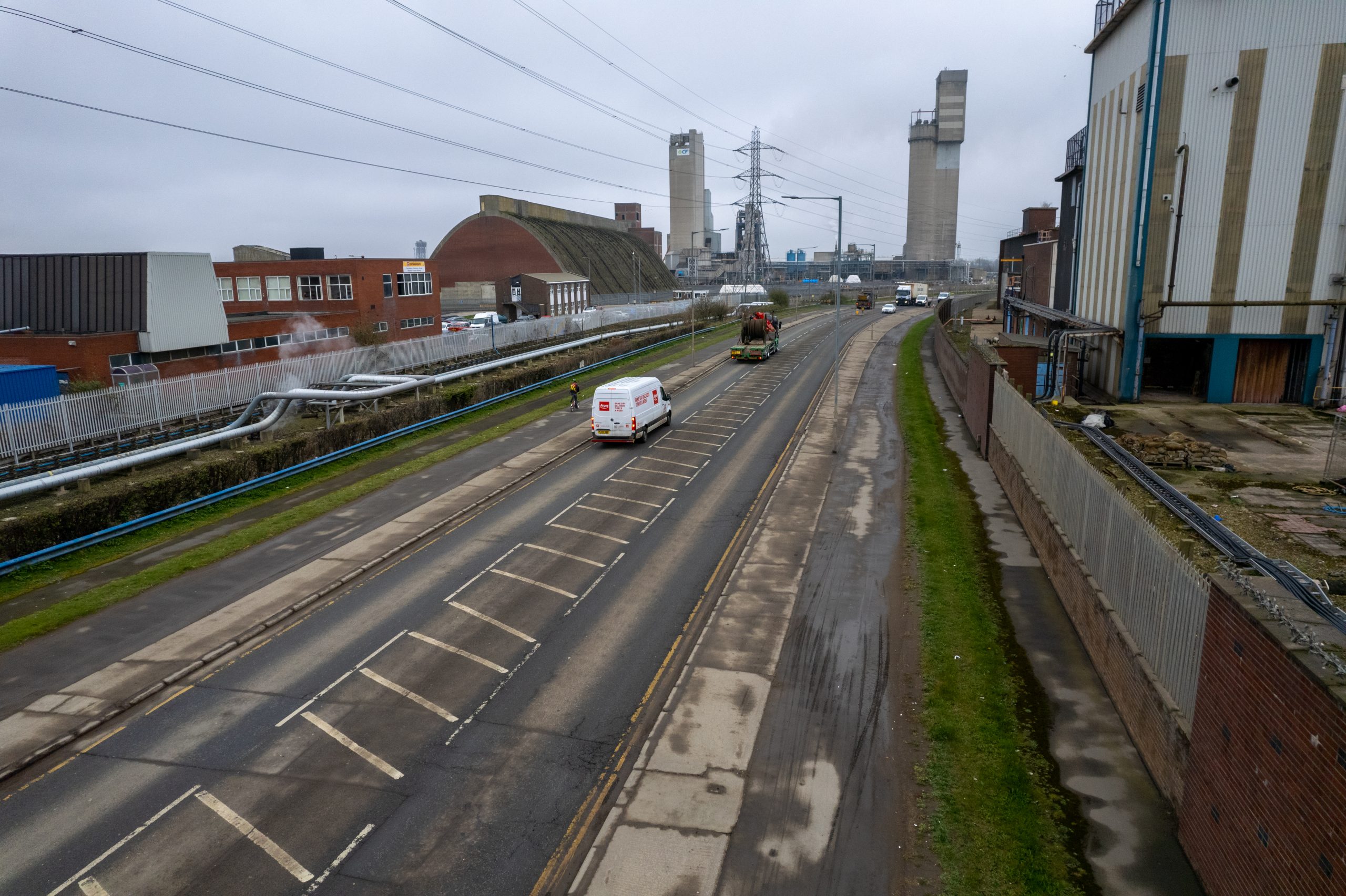
Haverton Hill’s cycle tracks look period but evidence has yet to be found to confirm this identification.
Haverton Hill Road, Billingham, was built in 1905 as an access road between Stockton and Billingham and to service the growing industries in the area, including shipbuilding at the Furness Yard at Haverton Hill, and the burgeoning chemicals industry expanded in the 1920s by the Brunner Mond company which, in 1926, amalgamated with three other companies to form Imperial Chemical Industries, or ICI.
Corporate and municipal housing estates sprang up either end of the road with links to estates to the north of the road and to the southwest via A19 (“Fleet Bridge Road”) and then to Wolviston Road (“Billingham Station bypass road”), see WOLVISTON ROAD, BILLINGHAM.
The Haverton Hill estate was built by the Furness Company to provide housing for their shipyard workers. Other housing was provided mainly to house chemical plant workers. Prevailing westerly winds made life miserable on the Haverton Hill estate with the development demolished in the 1970s.

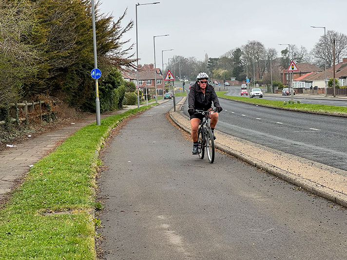
Cyclists still use Haverton Hill’s cycle tracks.
Haverton Hill Road bisected the ICI Billingham plant, and from the 1930s through to the 1960s, the road was awash with cyclists at 7am before clocking on time and at 4pm when workers left for the day. There are no cycle tracks visible at the plant’s East Gate entrance in a 1949 road safety film produced by ICI Billingham Film Unit nevertheless the film shows large numbers of workers leaving work on bicycles; there are also a great many buses.
A video of a commuter journey by car from 1965 shows the Haverton Hill cycle track.
Despite finding no documentary evidence for the building of cycle tracks on Haverton Hill Road they look almost identical to 1930s-era cycle tracks elsewhere in the country. Here, for instance, the cycle track and footway are separated by a grass verge, typical for the period: https://goo.gl/maps/FVm7uTCNz4vMeRe87 Significantly, they also link to known period cycle tracks on Bypass Road and Wolviston Road. The tracks also feature 1930s-style entrances, such as here: https://goo.gl/maps/FPrvzkYNMDgj1pom9
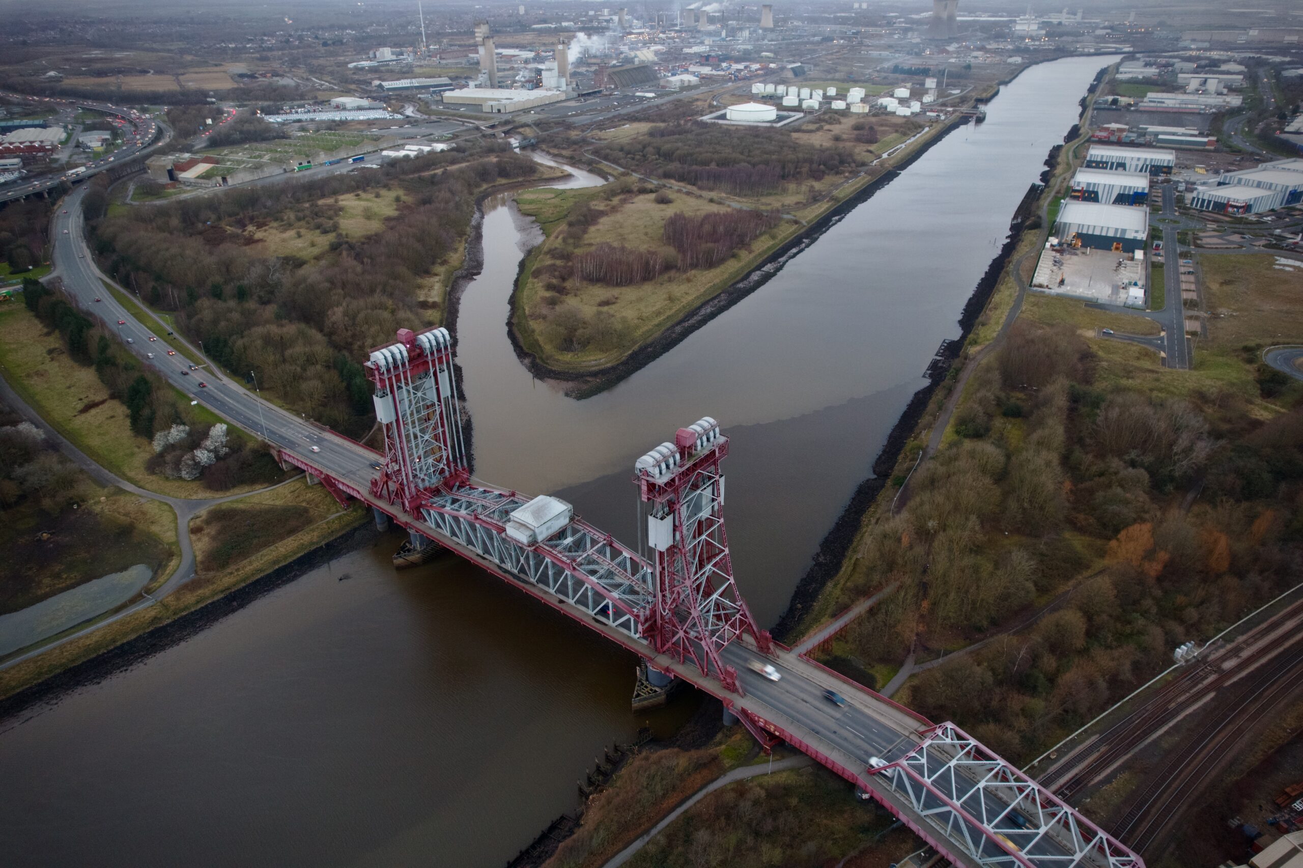
Newport Bridge, opened in 1934, with view over to Haverton Hill.
There is no record of cycle tracks on the approach to Newport Bridge, opened in 1934, or on Portrack Road, opened in 1934, but, again, their existence is likely. There are modern-looking cycleways on the A1032 road from Newport Bridge to Haverton Hill Road and these could be in the same place as period cycle tracks.
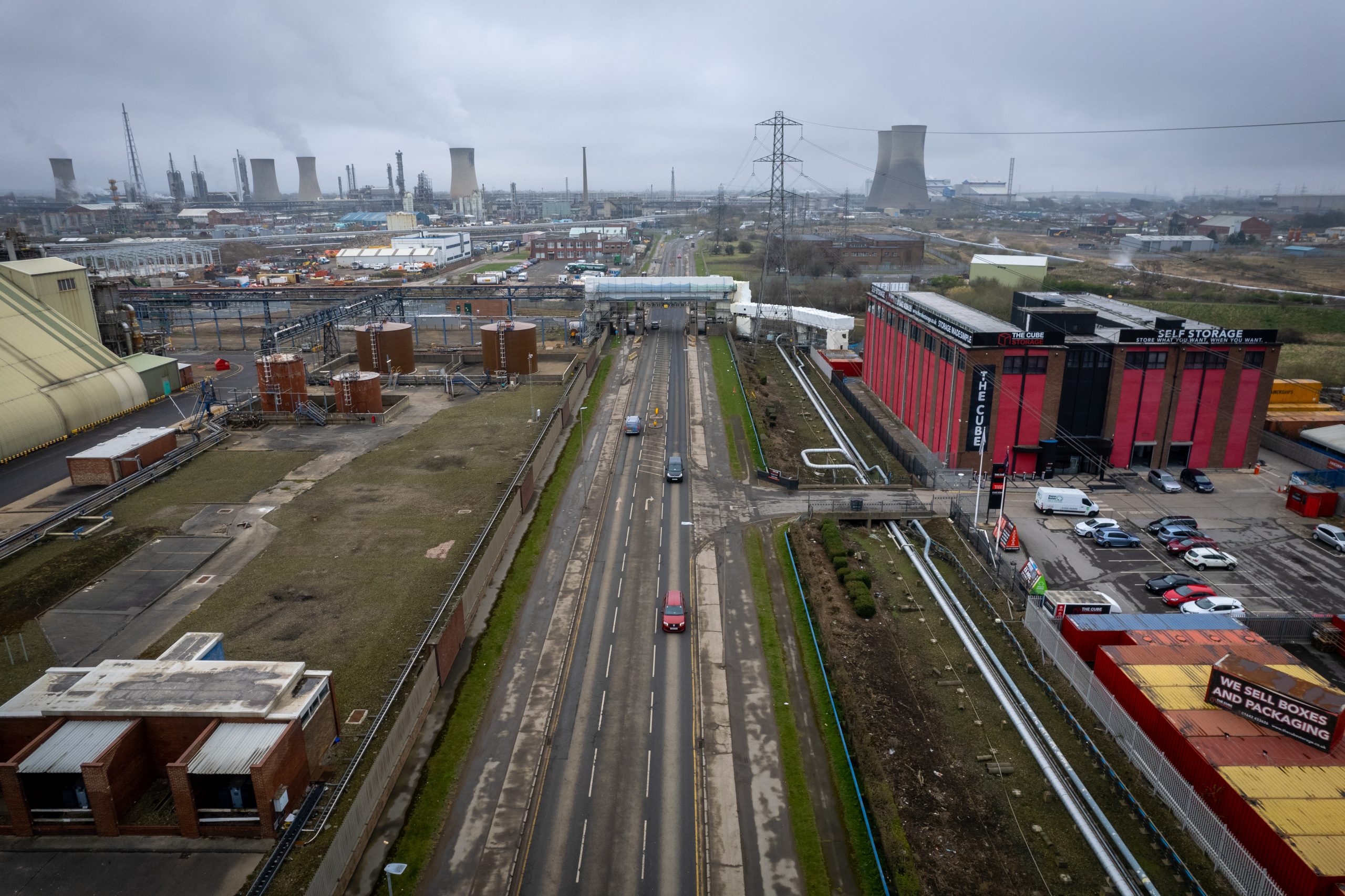
Haverton Hill’s cycle tracks bear many of period hallmarks, such as width, straightness, placement next to a footway, and proximity to a utilitarian road.


