Marks Tey, Essex

OS 1937-61
Modern Map
Date opened/built:

c. 1940.

Length:

2.8 miles (4.5kms).

Width:

6ft (1.83m).

Adjoining footway:

Period, yes; today, shared use path.

Road type:

Rural dual carriageway.

Surface:

Modern asphalt.

Both sides of road:

Period, yes.

Adjacent to social housing:

No.

Period mapping:

OS 1:10,000 surveyed/revised pre-1930 to 1957, published 1958 https://maps.nls.uk/view/189256694

OpenCycleMap status:

https://www.opencyclemap.org/?zoom=15&lat=51.85709&lon=0.74186&layers=B0000 Cycleway marked on one side of road only; no footways marked

Sources:

Period maps, period newspapers.

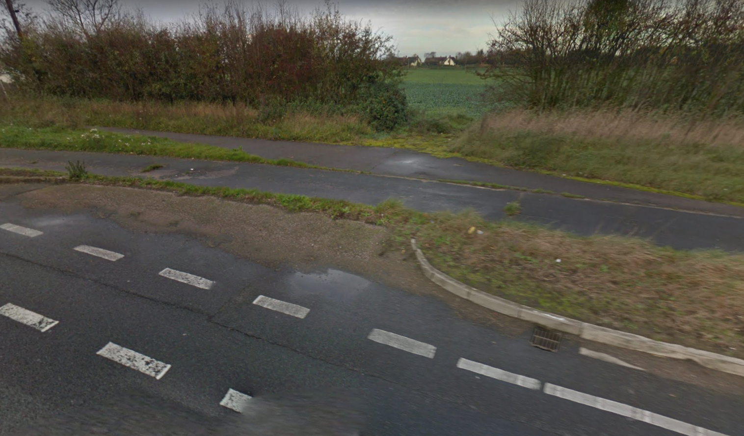
Period footway and adjacent roadside cycle track at Marks Tey have been indented by later bus stop.

MoT eastern division manager Mr. J. Rowland Hill told a meeting of surveyors in 1939 that “the Minister [of Transport] is convinced that, as far as Trunk Roads are concerned, provision should be made for complete segregation of the various forms of traffic and, in all major schemes affecting Trunk Roads, footpaths, cycle tracks, and dual carriageways are to be provided.”

He added that the “duplication of the carriageway and the provision of cycle tracks between Kelvedon and Marks Tey,” had “commenced.”

NOTES

He added that the “duplication ... Chelmsford Chronicle, 10 February 1939.

Explore the tracks