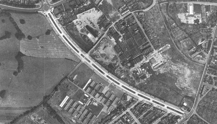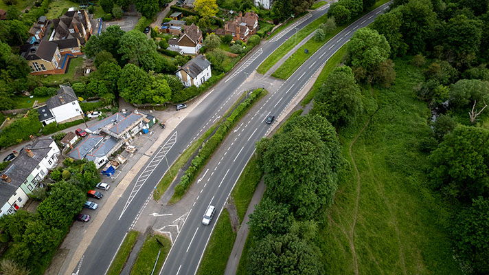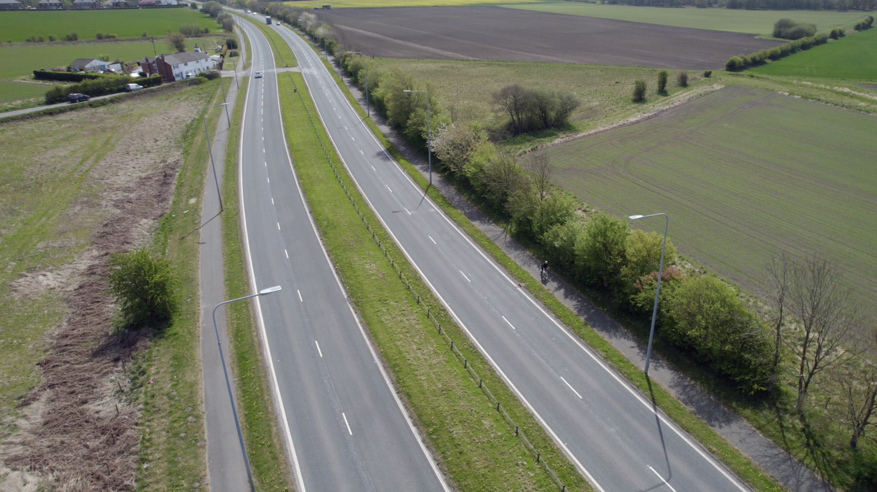
Ghost markings for the lost period footway can be seen in the mid-left of this drone photo of the Rainford bypass.
According to a 14-page brochure celebrating the opening of the Rainford bypass it extended from Four Lane Ends, Bickerstaffe, to Windle Smithies. However, as this structure was on the opposite side of the East Lancs Road it would be more accurate to say the bypass ended at Windle Ashes Farm. The plan for the 2.4 mile central section of the bypass was submitted to the MoT in 1938 and the road was finished by the summer of 1941, with the shorter start and end of the bypass completed in 1950.
An opening ceremony was staged on Wednesday, 13 December, 1950, with Alderman Alfred Bates, chairman of Lancashire County Council, cutting the ribbon.

Map from opening brochure, 1950.
“The scheme has passed through many vicissitudes since its inception in 1937,” advised the celebratory brochure.
“It was halted by the outbreak of war; a completed portion then served a military use for some years as a parking area for tanks; the post-war completion of the work was jeopardised by lack of cement; and finally the roadworks specification was radically changed to permit the use of materials in easy supply.”
The brochure said the full bypass comprised “5.63 miles of dual carriageways, cycle tracks, footways, etc., to a total width of 120 feet, and 0.35 miles of single carriageway road and footways within a width of 60 feet.”
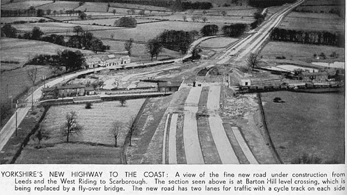
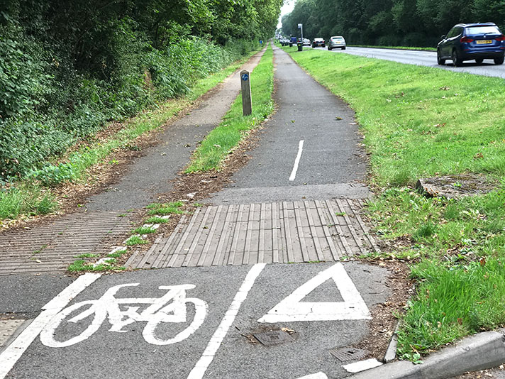
The M58 flyover and its associated roundabout have obliterated some of the start of the bypass, but the central section is largely intact. The cycle tracks, built between 1938 and 1941, are capped with asphalt and look modern.
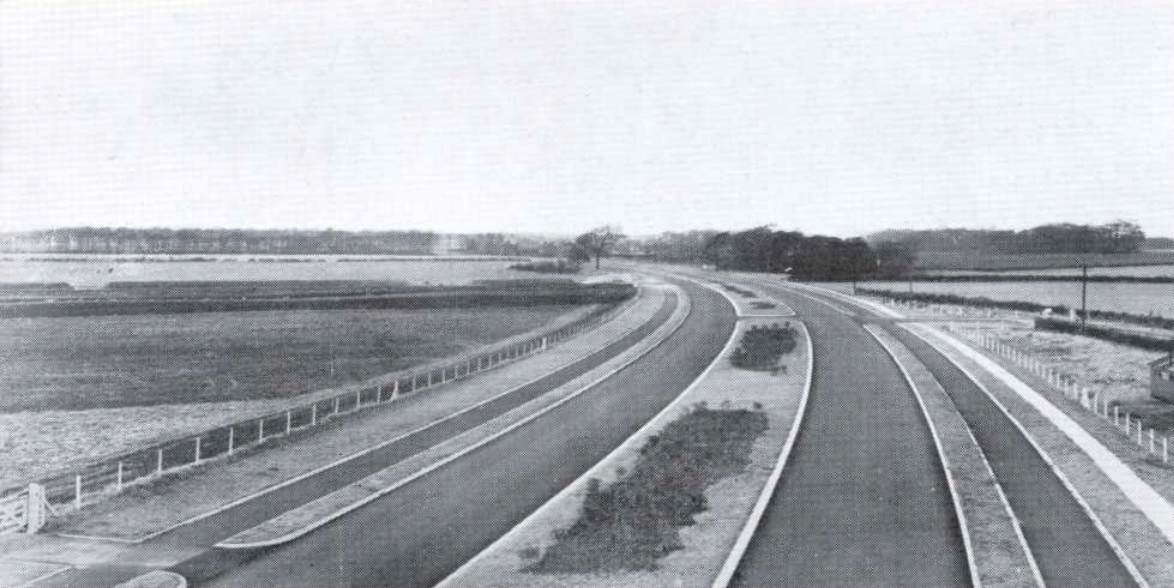
“Road looking north from Wheatsheaf hotel,” says opening brochure, 1950.
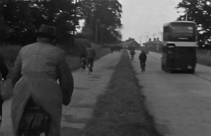
The cycle tracks on the central section may have been used soon after opening but the War Office requisitioned the bypass in 1943 and it’s doubtful that the cycle tracks were in use when the main carriageways were used for tank storage. (Other period bypasses were also used for such storage.)
“The greater part of the road from St. Helens to Southport will be completely modernised,” reported the Liverpool Echo in October 1938.
“The present narrow and tortuous road with its many dangerous bends, will give way to a road of the latest design. 120 feet wide split into dual carriage ways, with a broad central reservation, and flanked with cycle tracks and footpaths. Each carriageway will be 22 feet wide and each cycle track 9 feet,” continued the paper.
The original, mid-section of the bypass — including its cycle tracks and footway — was made from concrete.
“During 1947 it rapidly became apparent that the national shortage of cement would affect progress most adversely, and perhaps prohibitively,” recounted the bypass opening brochure.
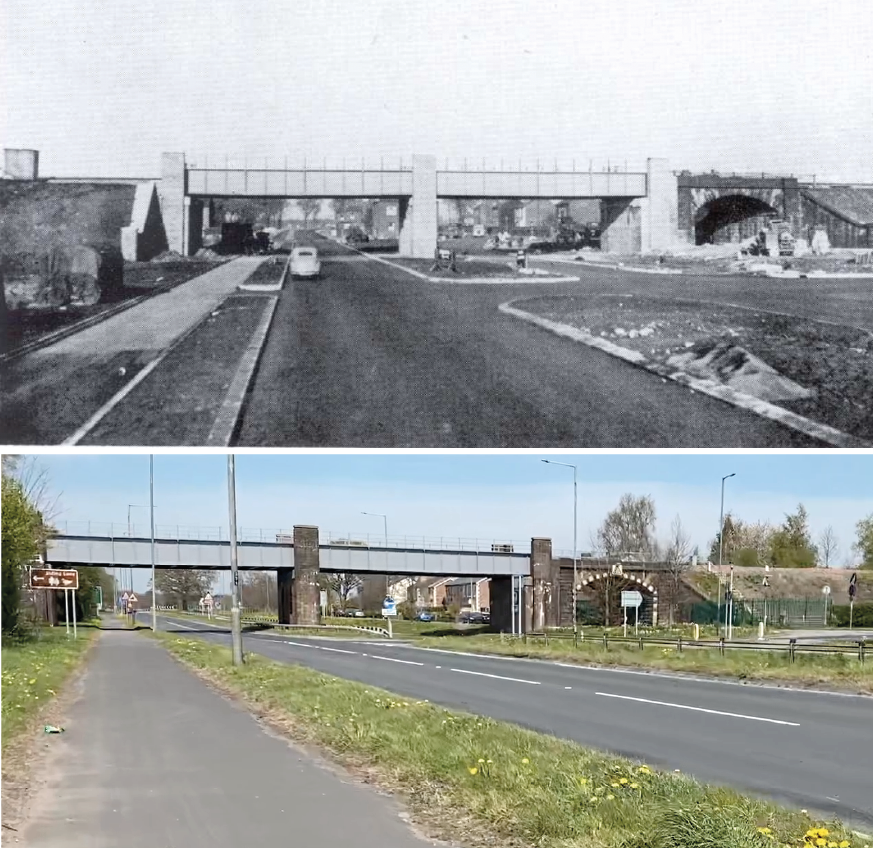
Railway bridge then and now. This is the location for the ceremonial opening of the full bypass in 1950.
“It had been intended that the carriageways should consist of 10 inches thick, double-reinforced, concrete slabs on a 9-inch thick shale base. For the cycle tracks concrete had also been selected, the specification providing for 4-inch thick unreinforced slabs on a 4-inch thick shale bed.”
In late 1947, Lancashire’s energetic county surveyor James Drake “proposed that the concrete specification should be abandoned in favour of bituminous macadam.”
According to the brochure a “revised scheme was submitted to the Ministry of Transport, incorporating two 4-inch layers of a broken stone under a bituminous surface, instead of the single-layer stone pitching which is more usual in this form of construction. In these amended proposals concrete was also eliminated in the cycle tracks.”
Construction started in 1948. Messrs. W. Turner (Ardwick), Ltd. — who had built the mid-section, too — won the contract.
A diagram of the bypass in the 1950 opening brochure shows that there was a footway only on one side of the road, with cycle tracks on both.
Why was the Rainford bypass built? Because of induced demand.
Here’s the brochure’s explanation: “Its purpose is primarily to relieve the acute congestion and danger which arose from the inability of the existing road in Rainford to accommodate the increase in its traffic load following upon the construction of the Liverpool-East Lancashire Road.”
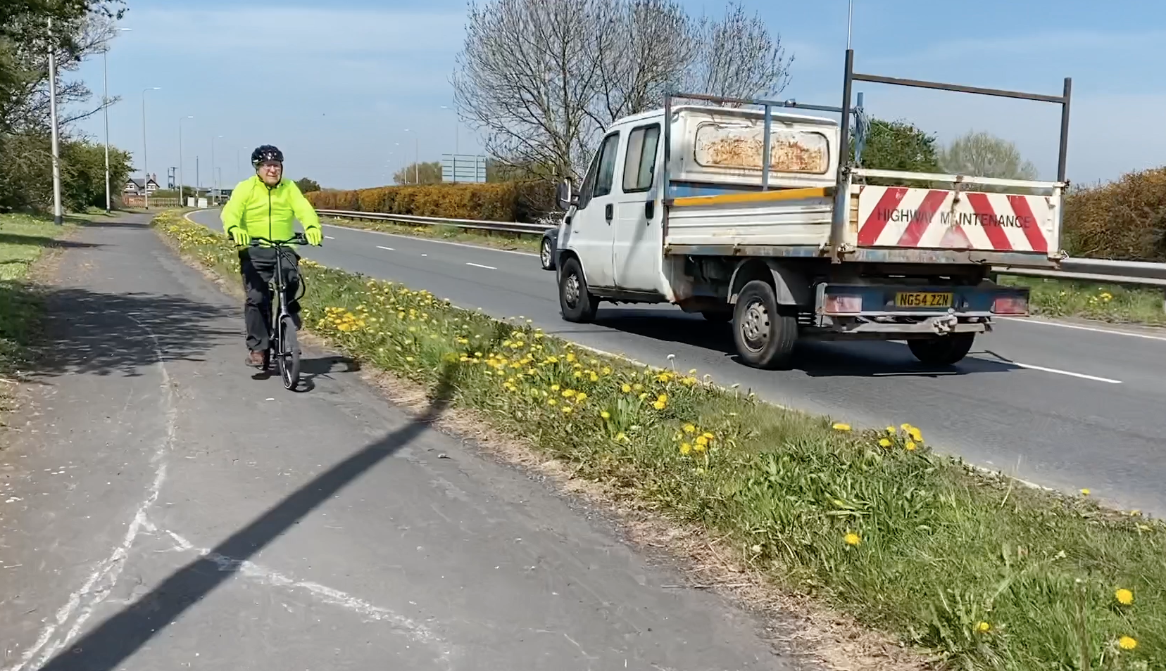
Rainford bypass is today well used by cyclists — there’s no correct direction of travel.


