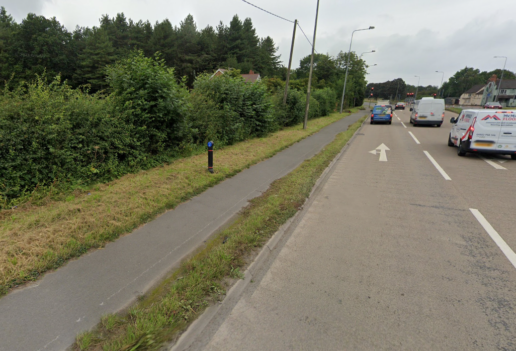
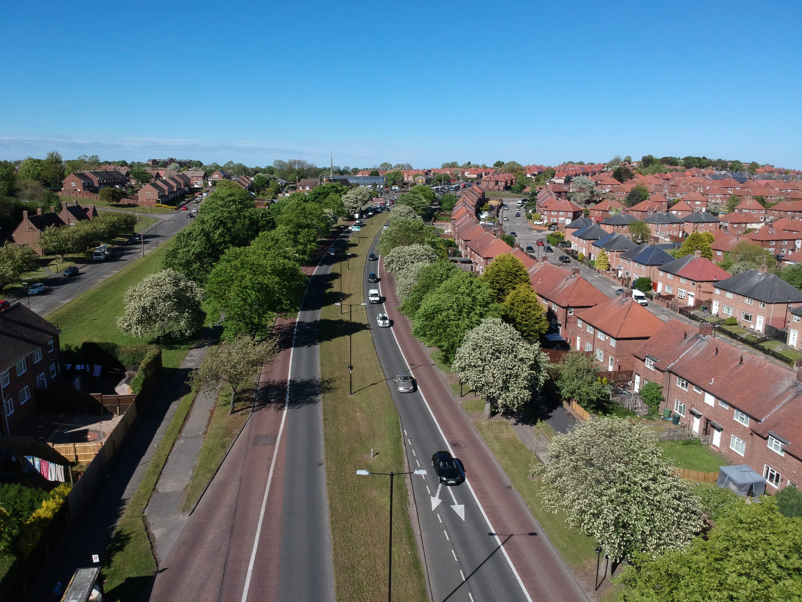
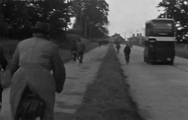
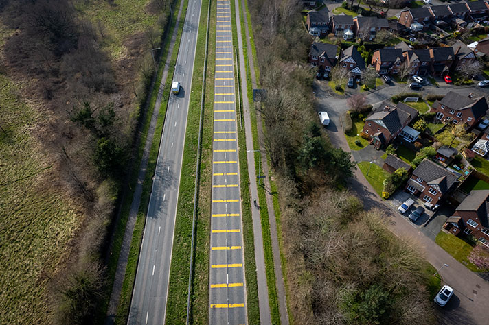
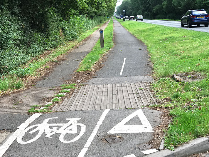
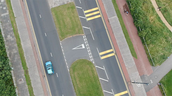
The plans for the road to be ... “Public Inquiries at Stafford Proposals for extensive improvements to a section the Stafford Wolver- hampton main road and the construction of a by-pass road ... The inquiry was conducted bv Mr. W. . Clemens. The scheme provides for the widening improvement, and diversion the road from Crateford cross-roads to Rodbaston Gate, and from a point 170 cards north of Saredon Brook. Standeford, to Brinsford Lane, Coven. The scheme provided for the widening of the road to a width of 115 feet, except the approaches of the railway bridges. Provision was made for foot paths six feet wile, with a two-foot verge between the footpath, and a six foot cycletrack. The other section of road was from Standeford to Brinsford Lane, Coven, and that was the proposed by-pass road. This length road, generally speaking had a minimum width of 106 feet. It would have a footpath six feet wide on either side divided from six foot cycle tracks bv three-foot verge. There would be verge of three feet between the cycle tracks and tlie dual carriageways, which would be 22 feet wide with a central margin of 22 feet The policy of constructing footpaths, cycle tracks and dual ways was in accordance with that of the Ministry of Transport. Replying to the objections raised. Mr. Hayward submitted that no serious challenge the necessity of carrying out the proposed road improvements had been put forward. There was nothing in the objections that could not met by way of compensation. The inquiry was closed.” Staffordshire Advertiser, 31 October 1936
Four stretches of dual roadway ... Evening Despatch, 8 June 1939.
There was a 1939 plan ... “A tender has now been accepted for the construction a new bridge over the railway line at Rodbaston at a cost of about £22,000 The existing dangerous bridge, situated at the north end of the section, will be replaced with a structure 72ft. Sin. between the parapets, to carry dual carriageways 20ft. wide. There will be a central margin 4ft. wide, and the two verges.’each 14ft. 4in will accommodate 6ft. cycle tracks and 5ft. footpaths. From this point to Penkridge, a distance of about a mile, is section to be undertaken this year at an approximate cost of £54,000. It is anticipated the work will start in the early part of the summer. The road through the village Penkridge was entirely reconstructed comparatively recently, and though this is a single carriageway, it was made wide enough, and freed from dangerous bends, to meet modern requirements On the Stafford side of Penkridge, the Ministry of Transport’s new trunk road from Bloxwich will run, according to present proposals, as far as Acton Gate, and will continue, by way of a by-pass, round the west side of Stafford into the Stone-road, and to the north For the road north of Stafford to Newcastle and the Cheshire boundary, schemes for certain sections have already been completed, and negotiations for the acquisition of the land are in hand. When has been obtained these schemes will be pushed ahead. These comprise the section of load as far as Yarlet, and two sections north of Newcastle. So far as the section which is to pass through Newcastle is concerned, it is stated that the acquisition of the site is being awaited.” Staffordshire Sentinel, 11 January 1939. “Towards the reconstruction of the Stafford-Wolverhampton road, one of the most important roads in the country, it is proposed this year to carry out an improvement scheme between Penkridge and Rodbaston, distance of about one mile. The existing single carriageway, 24 feet wide, is inadequate, and there are few footpaths. The new road will have dual carriageways, each 22 feet wide, cycle tracks and footpaths, and danger spots will be removed by the use of wider curves, superelevation, and roundabouts. A grant has been made from the Road Fund towards the estimated £54,000 cost of this year’s scheme.” Gloucestershire Echo, 9 January 1939.
