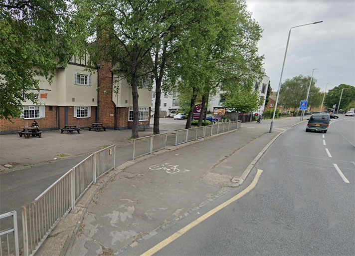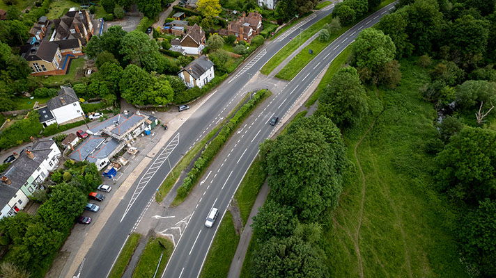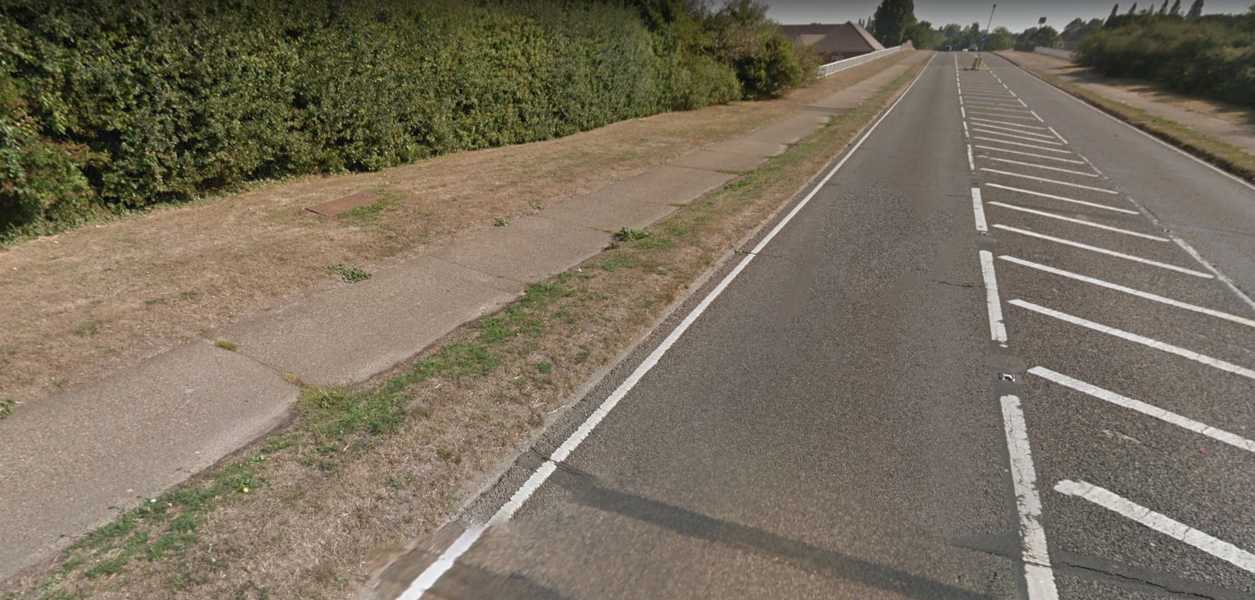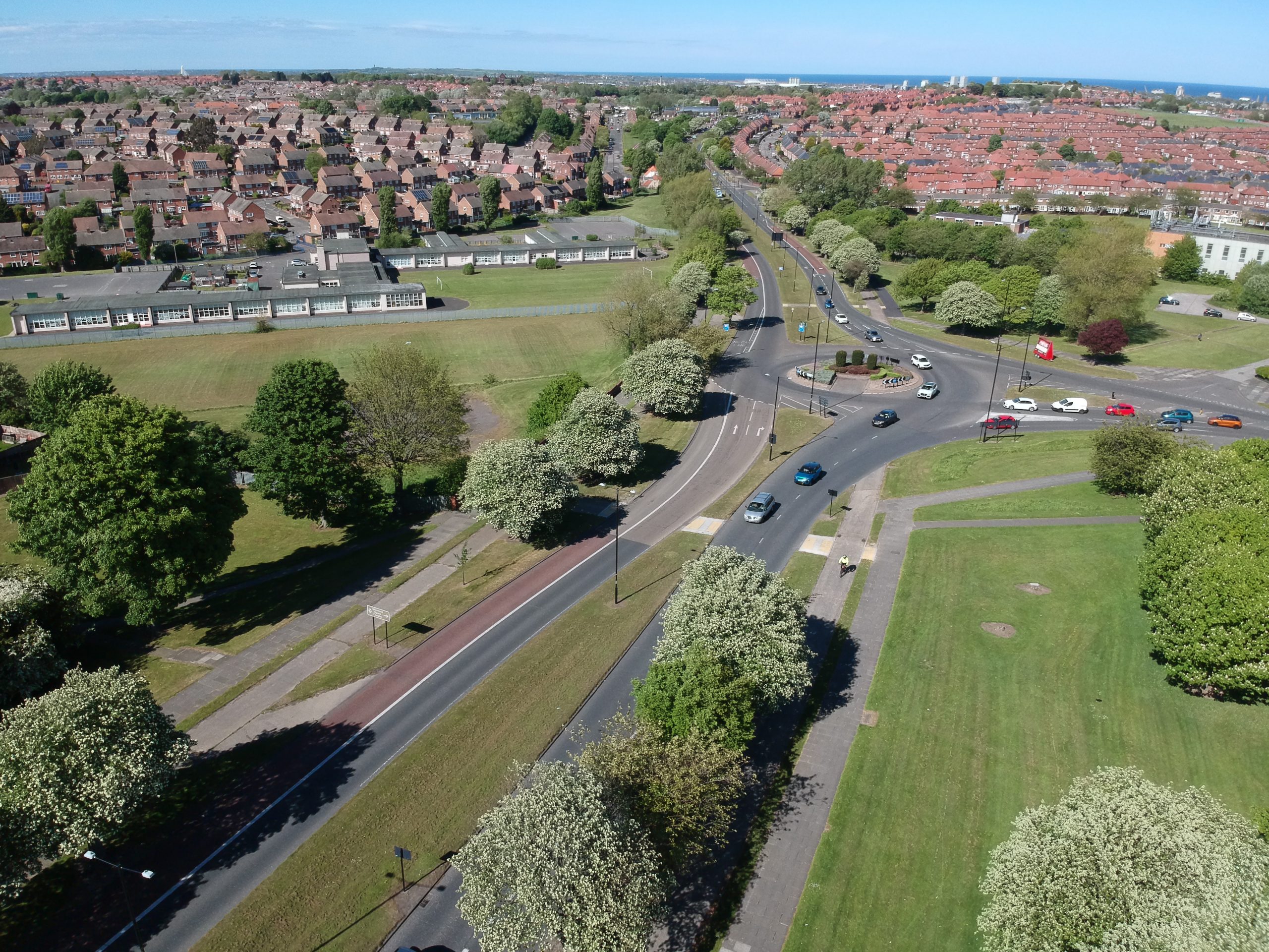
The modern roundabout has truncated the period cycle track and footway.
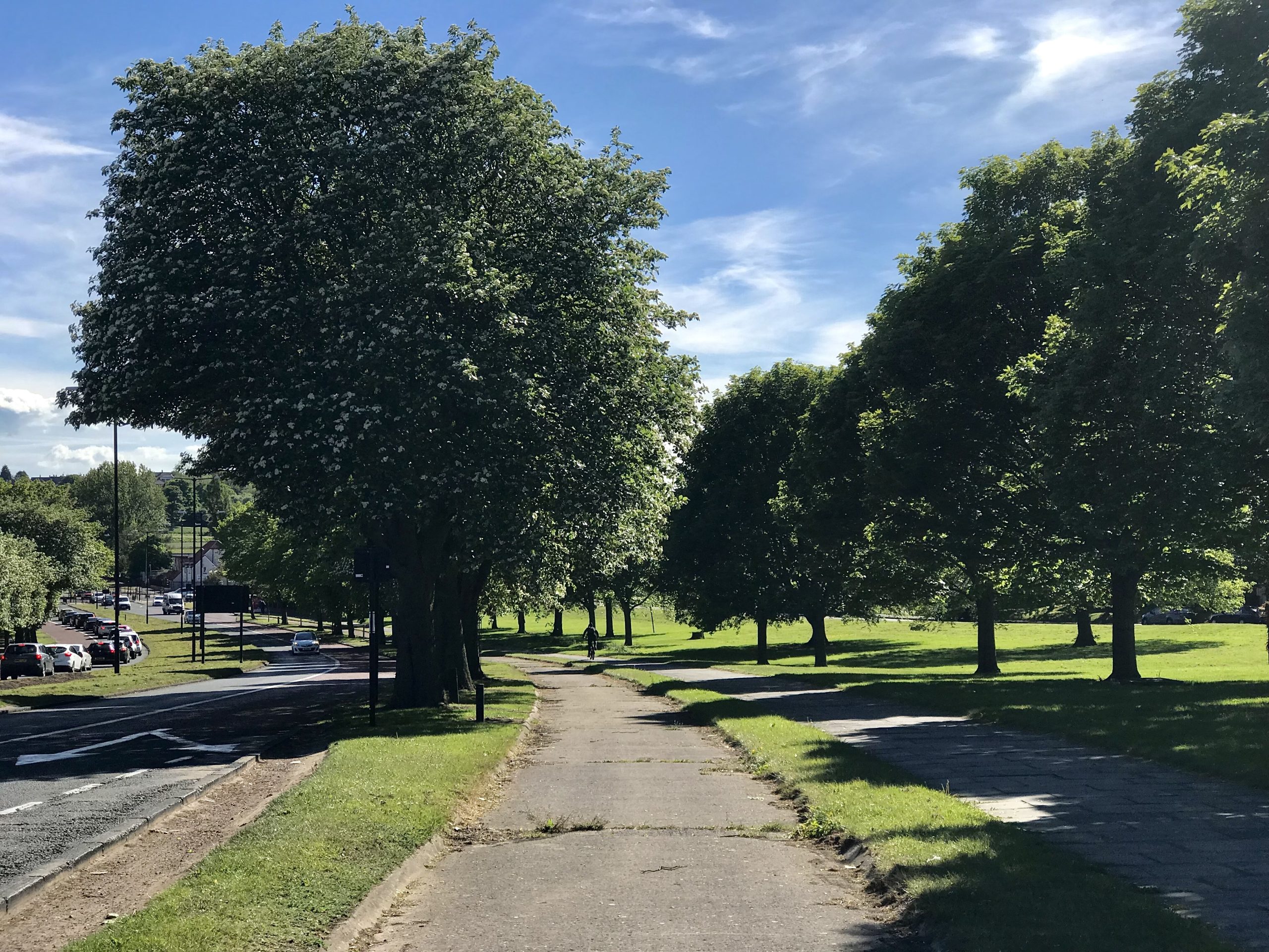
With its original concrete surface and kerbing the Durham Road cycle track is one of the best preserved in the country. It’s short, and punctuated with period truncations, and little understood to be meant for the use of cyclists. Indeed, cyclists are often observed using the adjoining period footway rather than the cycle track, which may be perceived as a service road for motorists.
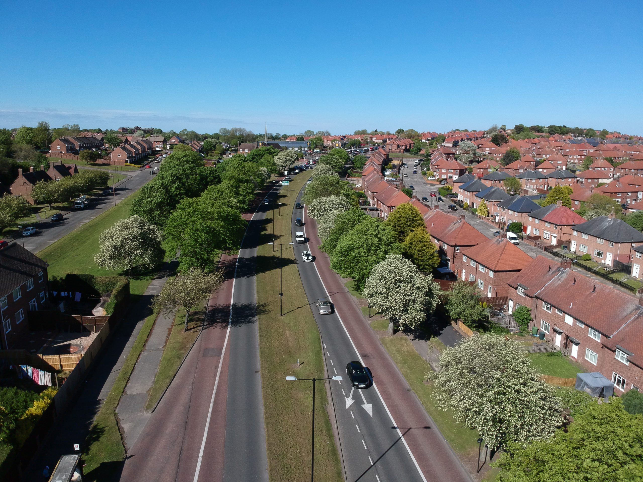
Durham Road’s cycle track on the left has a splayed entrance. There’s also an adjoining footway. There’s also a cycle track and footway on the right. The period infrastructure is flanked by municipal housing.
The wide, grassy central reservation on Durham Road was the trackbed for a tram service which ended in 1954.
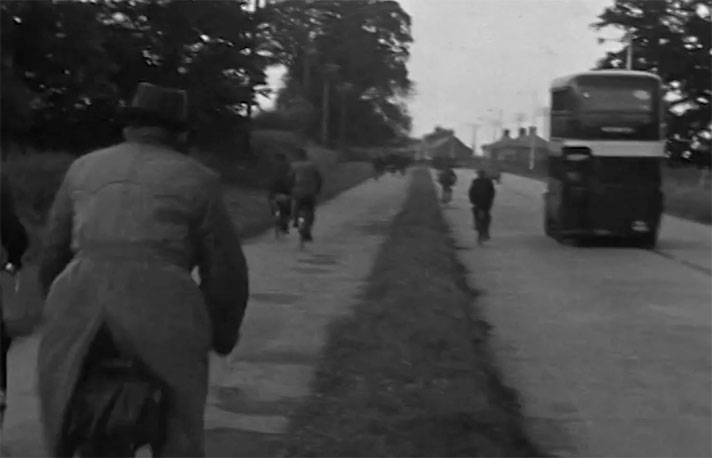
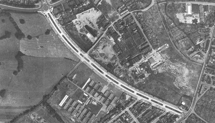
Period maps show that the cycle track existed prior to 1954, and pre-1954 period photographs also show the existence of the cycle track, but no documentary evidence for its construction has yet been found. Still, it is likely to date to c. 1939.
Planning for the “widening of Durham Road from Ettrick Grove to the Humbleton [Humbledon] Tram Terminus” took place in May 1934 and, in the following year, the borough engineer rejected calls from the Ministry of Transport to install dual carriageways and cycle tracks on any of Sunderland’s roads.
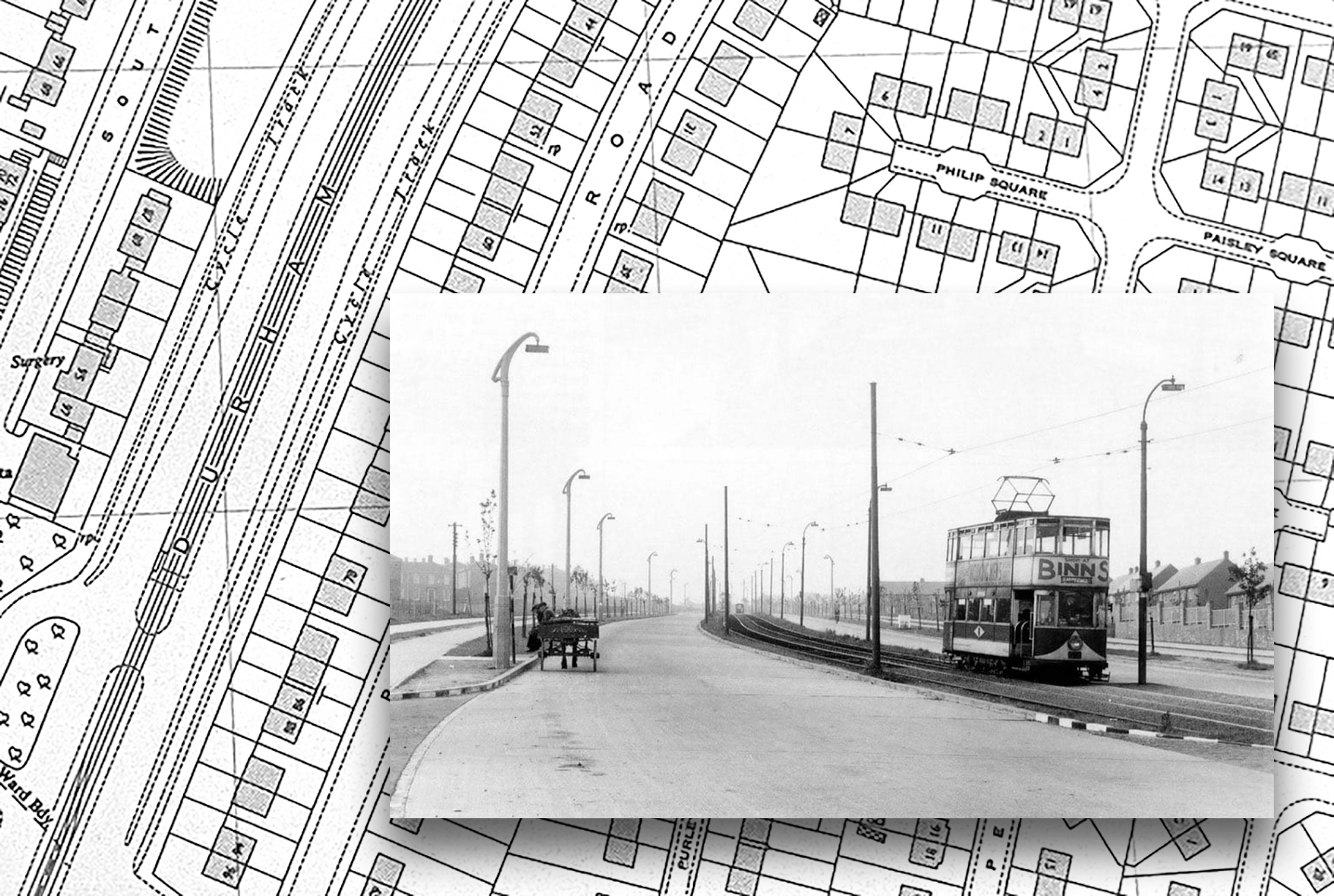
Large-scale period OS map of Durham Road, shows cycle and tram tracks. Footway and cycle track can be seen on left of the inset photo.
However, by March 1936 the borough engineer told Sunderland Corporation’s highways committee that “any road schemes contemplated in the near future would be designed in accordance with the suggestions contained in [Design and Layout of Roads, Ministry of Transport circular no 595, 18 March 1935].” Among the stipulations in this circular was the provision of cycle tracks beside arterial roads.
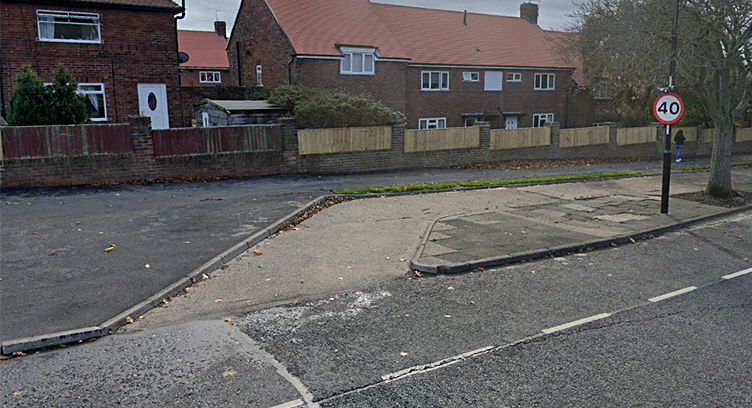
Splayed entrance to Durham Road cycle track.
In 1938 the borough engineer submitted his revised plan for Durham Road, providing for a “double tramway track in the centre of the road and provision of [two] 22ft carriageways, grass verges and footpaths making a total width of 100 feet with a reserved green strip 20 feet wide on each side of the road.”
While there are no mentions of cycle tracks in highway committee minutes it’s apparent that they were installed during the widening of Durham Road sometime after 1938 and before 1954. In November 1947 a newspaper reported that a Durham Road dual carriageway extension was then being constructed, although this could be referring to a stretch of the road north of Premier Road, where the period cycle track ends.
Sunderland Corporation officials started discussing removing the town’s trams in 1938 with an official announcement that they were to be removed released on 11 January, 1947. The final tram service was on 1 October, 1954. According to a highways committee report, Durham Road’s tram tracks were removed in March 1955. The cycle tracks were left in situ, but the exact date of their construction remains unknown.
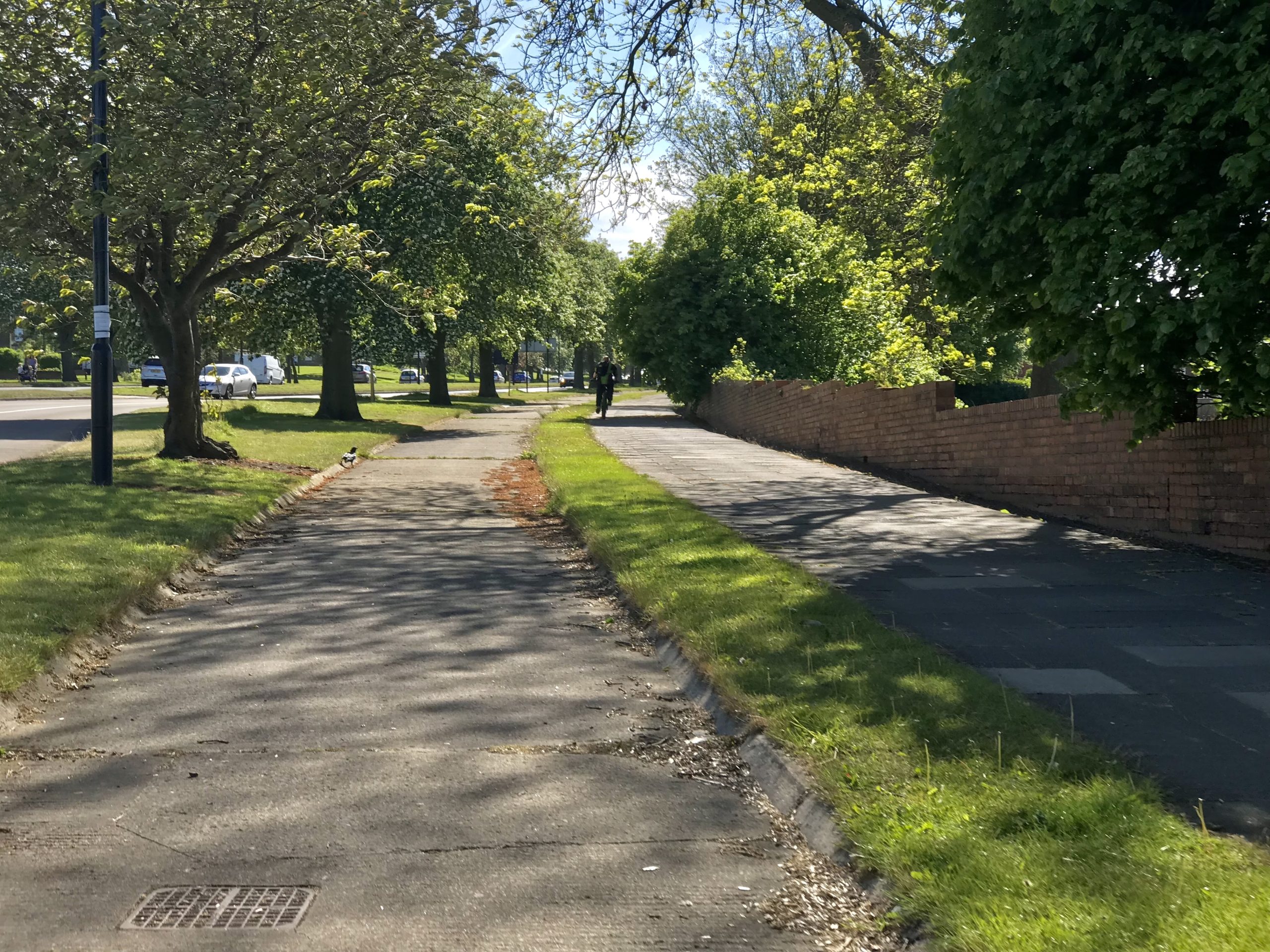
No signage and the fact the cycle tracks on Durham Road, Sunderland, look like service roads means cyclists in photographs above and below have chosen to ride on the footway rather than on the period cycle tracks.
