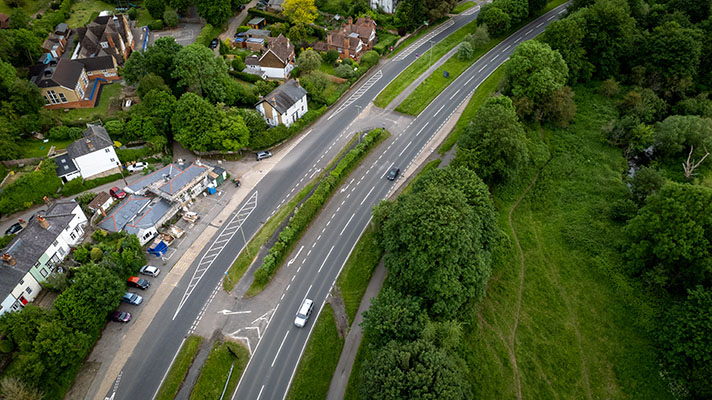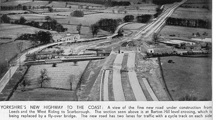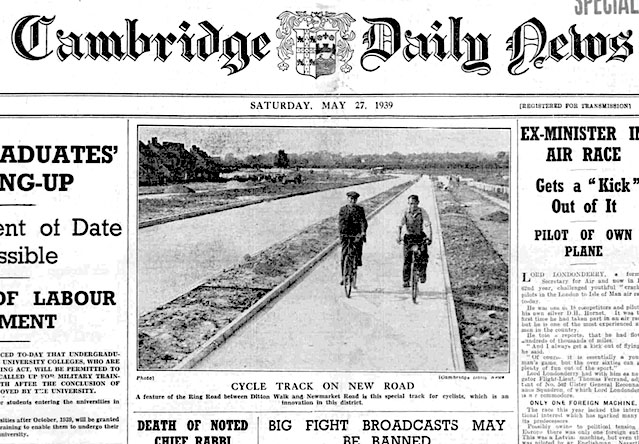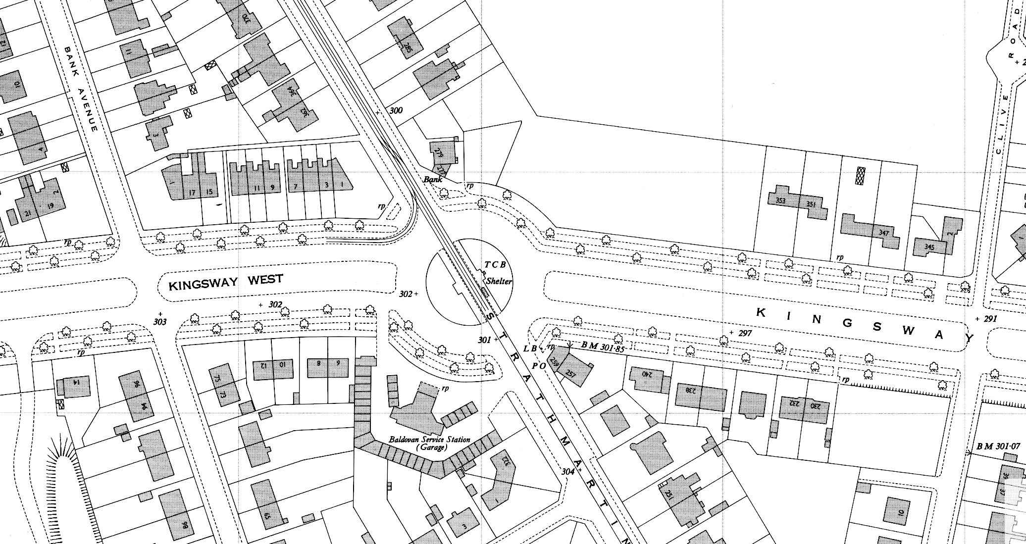
Period map of Kingsway shows cycle tracks but they are not labelled as such.
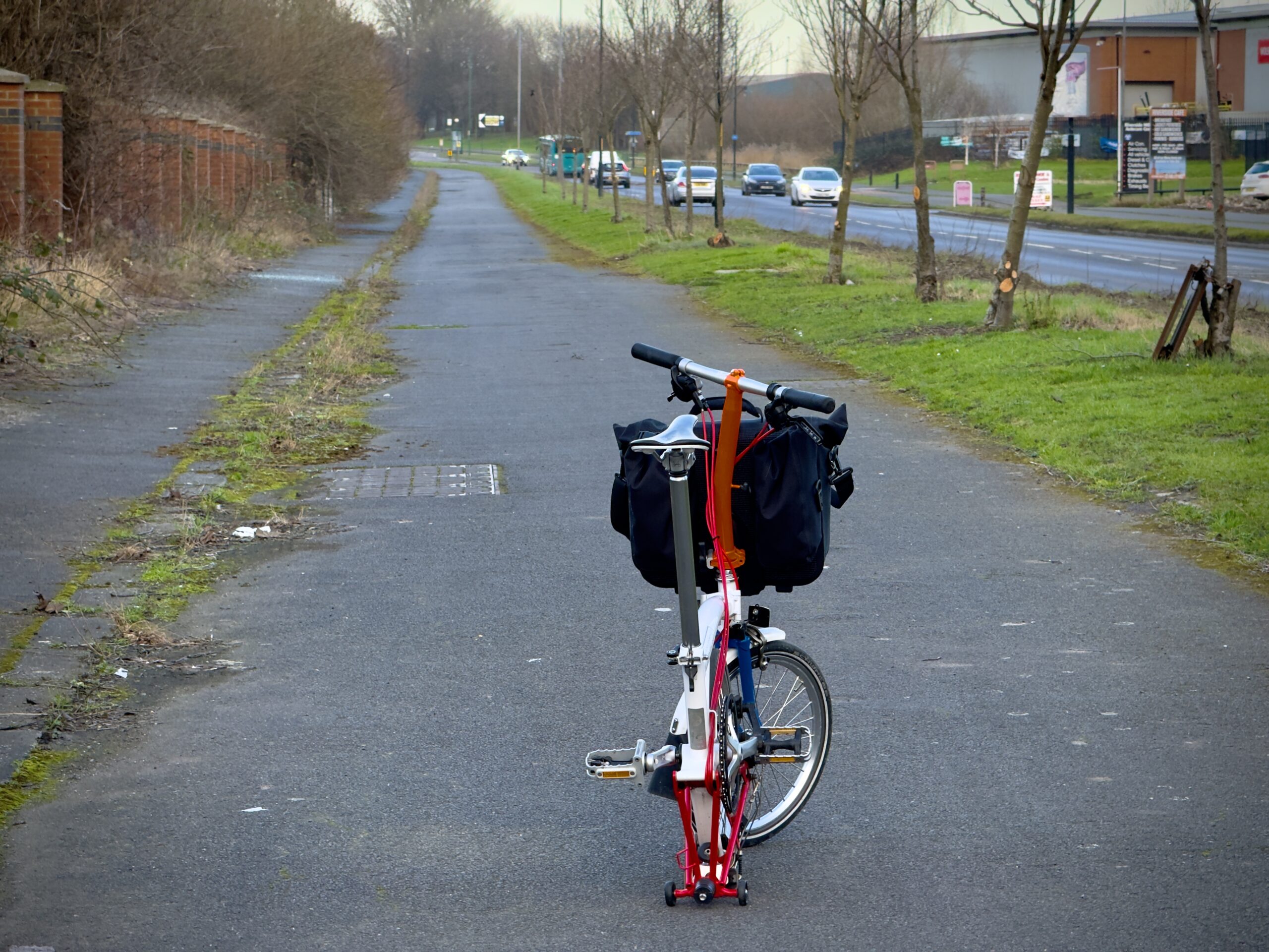
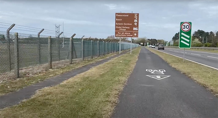
Starting in 1936, Scottish cycling organisations bitterly opposed the idea of “segregation” on Kingsway but today there’s a short stretch of what appears to a 1930s-vintage cycle track and adjacent footway. It’s possible that the protests prevented the creation of a greater length of cycle tracks along this arterial.
The poor state of maintenance on the existing cycle tracks on Dundee’s Riverside Drive might have been a consideration for the local officials from the Cyclists’ Touring Club (CTC) but the national body’s opposition to cycle tracks is more likely to be the main motivating factor.
What became the Kingsway was devised by City Engineer James Thomson in his 1910 “city beautiful” plan for Dundee. It was planned as a dual carriageway ring road with trams running on the central reservation. The tram lines were never installed. The road was later surrounded by new-build municipal housing, such as the between-the-wars estates of Linlathen, Kirkton, Fintry and Adler.
Built in stages from the early 1920s, the road — linking Dundee with Perth — wasn’t finished until the early 1930s. As the UK’s first cycle tracks weren’t installed until 1934 those on Kingsway were therefore retrofitted to the road.
“A letter from Mr H. G. Haxton, chief consul for Angus of the Cyclists’ Touring Club, objecting to the construction of cycle tracks along Kingsway, is come before the Works Committee of Dundee Town Council on Monday night,” reported the Dundee Courier in September 1936.
“Cyclists have evinced no desire for a special track,” wrote Haxton in his letter.
“They consider they are entitled to the amenities of the public highway,” he continued, adding that the track’s existence “will create the impression that cyclists have less right to use the road.”
The “new 100-feet highway … is scheduled to commence at the Kingsway-Perth Road junction to Longforgan, in three months’ time,” stated Dundee Evening Telegraph’s cycling correspondent ‘Wheeler’ in December 1937.
“Answering my query,” he continued, “the County Clerk states the cycle tracks will be six feet wide and placed between the footpath and the carriageway, surfaced with either bituminous macadam or asphalt. The principle on which our national bodies have opposed all cycle tracks are already known and consultations are now taking place … with a view to lodging a strong protest.”
Such protests might be too late, worried CTC’s Haxton, in January 1938: “It is perhaps too optimistic to expect the plans of the reconstructed highway to be altered now, especially as the Ministry has adopted a policy of cycle tracks on all new roads of this class, but it is better that the cyclists’ attitude be made known before these costly and unwanted tracks come into existence.”


