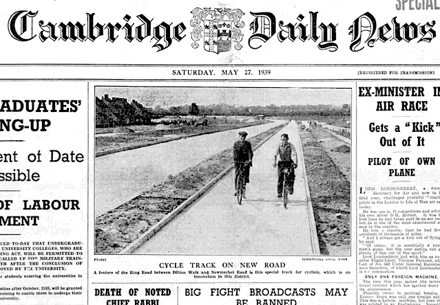
“Special track for cyclists,” on what would become Wadloes Road, 1939.
Cambridge’s Wadloes Road is residential yet it’s equipped with a period 9ft cycle track and an adjacent 6ft footway. Barnwell Road to the immediate south also has a period cycle track and footway. The roads were planned as one and, in the 1930s, were meant to be the southern half of Cam’s Causeway, a proposed eastern bypass of Cambridge.
This bypass — described in a 1936 plan as a “ring road” — would have required a new road bridge across Ditton Meadows and over the River Cam, developments which, in 1950, were considered too costly for including in the first phase of Cambridge’s city plan. Instead, it was suggested that the bypass and bridge for an “East Cambridge Ring Road” should be built in the second phase of the plan, or some time in the late-1960s or early 1970s.
Land was sterilised — there’s still an undeveloped oblong at the Five Trees woodland, ten metres north of the River Cam — but the full bypass was never built. The bypass would have linked up with the modern Cam’s Causeway which today is merely a narrow residential road.
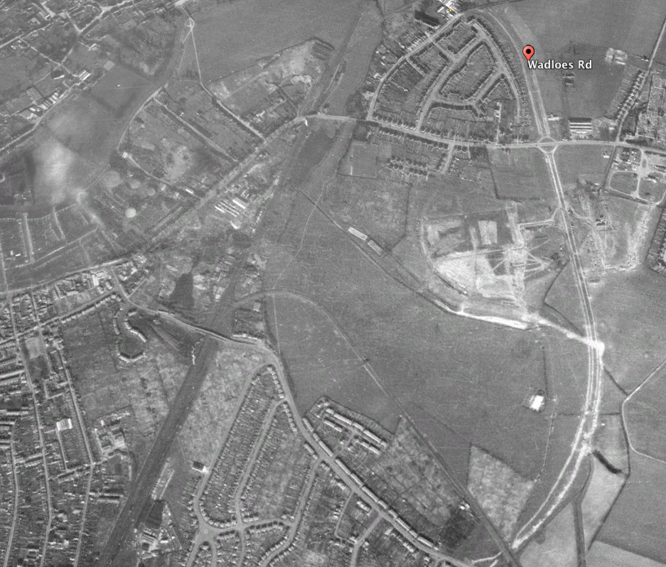
Cycle tracks on Wadloes Road and Barnwell Road on Google Earth aerial photo from c. 1945.
The East Cambridge Ring Road was first proposed in the East Cambridge Town Planning Scheme of 1928, but, of course, at that time without the provision of cycle tracks.
In the December 1936 plan for constructing Barnwell Road, then known as “Ring Road Newmarket Road to Coldhams Lane,” the road would be a “120 feet dual carriageway …[with] footpaths, verges, cycle track.”
Barnwell Road was likely built at the same time as Wadloes Road, which, according to Cambridge Daily News, was almost finished in May 1939.
“A feature of the Ring Road between Ditton Walk and Newmarket Road is this special track for cyclists,” reported the newspaper, describing the track as an “innovation in this district.”
Wadloes Road and Barnwell Road had cycle tracks and footways when built, shows Google Earth’s 1945 aerial layer. (Barnwell Road wasn’t finished all the way to Coldhams Lane until after the war.)
Dual-sided concrete cycle tracks and footways on both roads stand out vividly on this layer.
There are similar white markings on Newmarket Road, extending almost to Bottisham, but it’s probable these are concrete footways dating to the late 1920s or early 1930s, rather than cycle tracks.
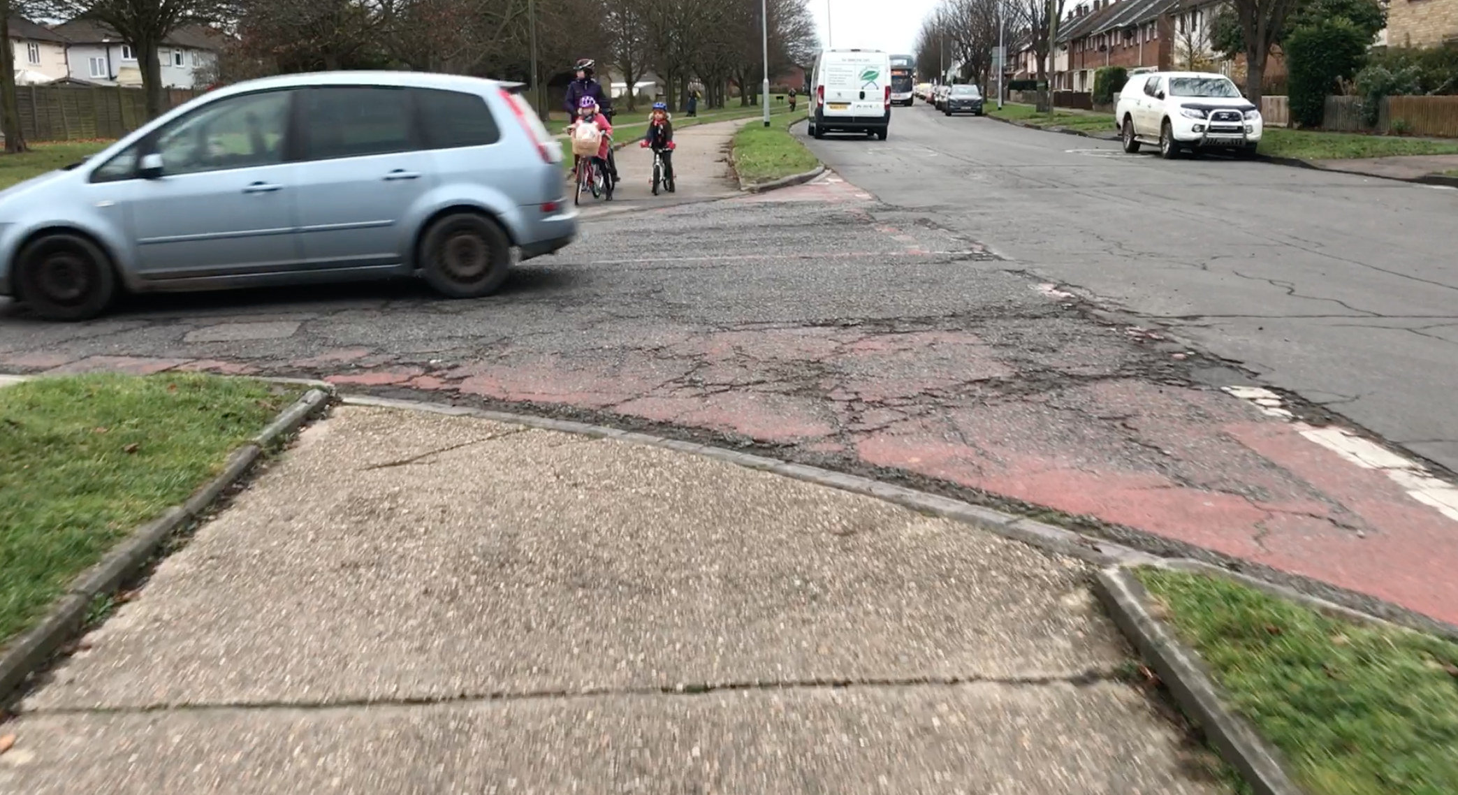
Lack of priority for cyclists on Wadloes Road.
Cambridge’s 1950 city plan, also known as the Holford Report, said that “Cambridge should remain predominantly a university town,” and described the follies of encouraging greater motor traffic, yet it still recommended the building of many motor roads, mostly to siphon off motor traffic from the central area.
The goal was to provide a “comprehensive road system capable of satisfying traffic requirements in the city.”
For traffic, read cars and trucks. The Holford Report stated plainly that many more people cycled in Cambridge than drove yet there were no suggestions to cater to or boost this bicycling traffic. Instead, said the report, the parking of bicycles ought to be curtailed in order not to get in the way of pedestrians and motor traffic.
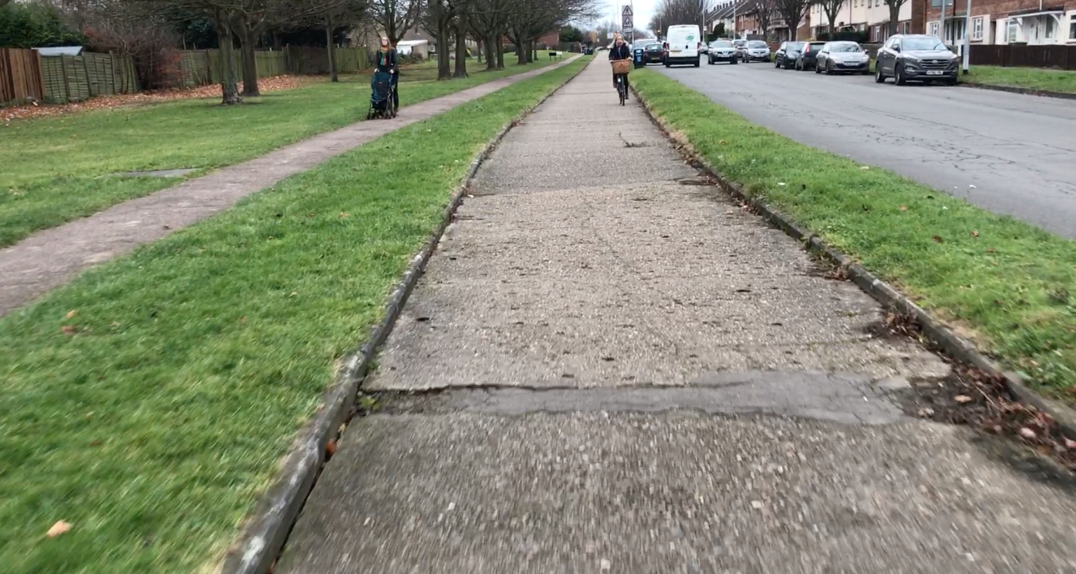
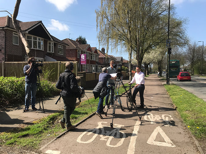
Cycle track and footway in use on Wadloes Road.
“In fine weather pedal cycles are used by a large proportion of Cambridge people of every type and all ages from about eight upwards,” stated the Holford Report of 1950.
The report continued: “A cycle is silent, emits no fumes, takes up little road space and when it collides with another cyclist or pedestrian, injuries are usually slight. Many Cambridge car owners use cycles for local journeys and it is likely to be agreed that it would be most unfortunate if car-parking policy encouraged the use of cars rather than cycles for local journeys.”
While agreeing that “pedal cycles are a major element in Cambridge local traffic” the Holford Report did not propose building any infrastructure to cater to this demand.
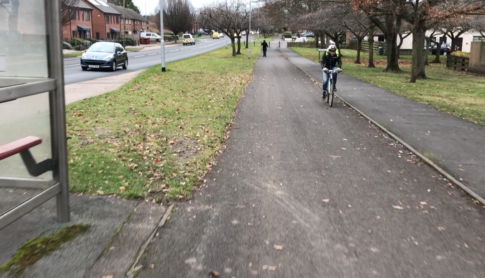
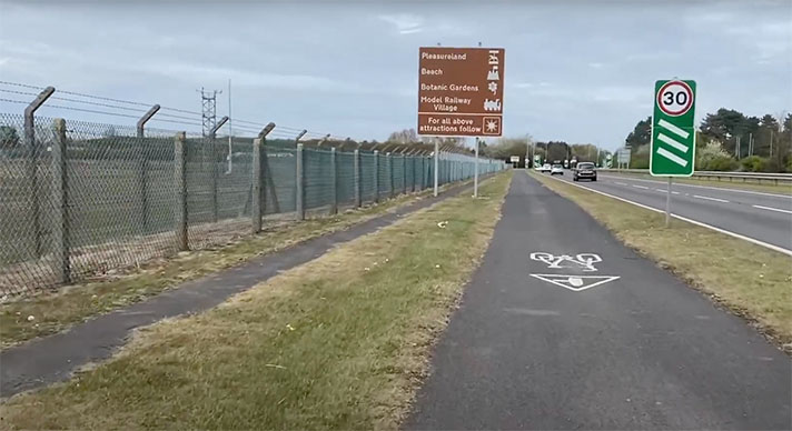
Cycle track on one side of Barnwell Road.
And the dominance of the bicycle was clearly stated. A traffic census included in the 1950 report showed that Magdalene Street in the central area attracted an hourly rate of 1,475 cyclists but only 396 motor vehicles. On Trinity Street, also in the central area, the dominance was even more stark with 257 motor vehicles but 1,022 cyclists.
Cyclists also dominated on what the report called the “Inner Ring. ” The enumerators counted 341 motor vehicles per hour on Park Side but 1,044 cyclists. On Newmarket Road — the trunk A45 in the 1930s — there were 877 cyclists counted per hour compared to 526 motor vehicles.


