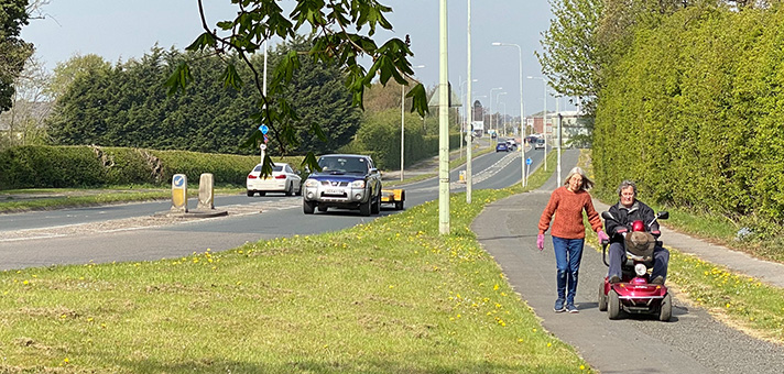
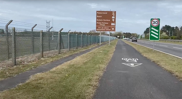
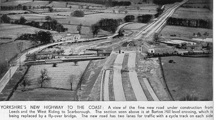
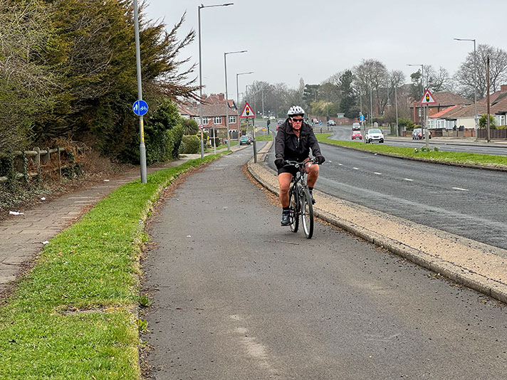
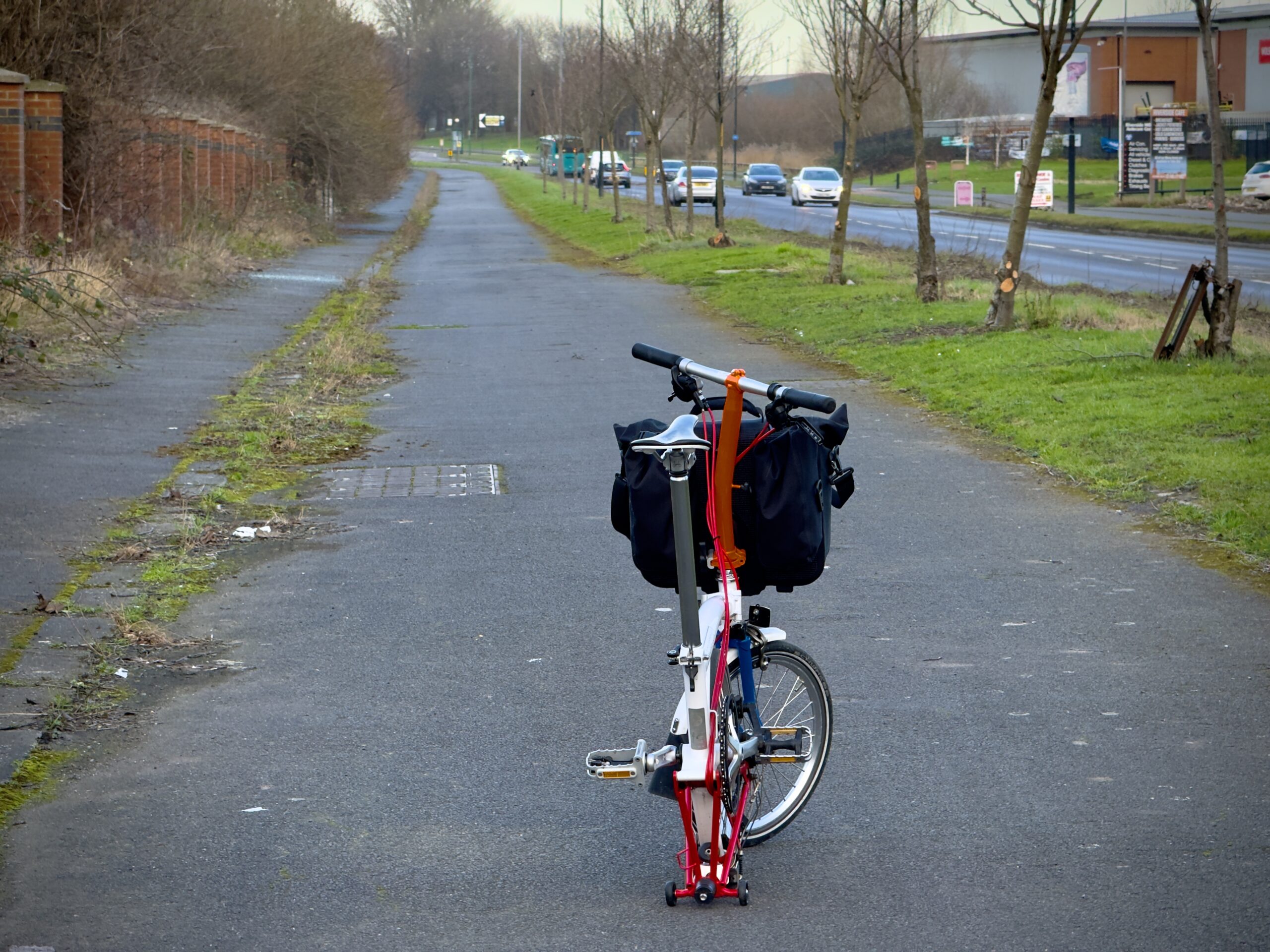
Derby Road, A6, Hathern

OS 1937-61
Modern Map
Date opened/built:

c.1939.

Length:

1.6 miles (2.57kms) to end of dual carriageway; track north, for 0.49 mile (0.8km) may be period.

Width:

6-ft (1.83m).

Adjoining footway:

None today.

Road type:

Rural dual carriageway.

Surface:

Modern asphalt.

Both sides of road:

Yes.

Adjacent to social housing:

No.

Period mapping:

OS Six inch, surveyed/revised pre-1930 to 1954, published 1955 https://maps.nls.uk/view/189227652 Road shown as sterilised, no cycle tracks or footways marked.

OpenCycleMap status:

https://www.opencyclemap.org/?zoom=15&lat=52.81128&lon=-1.25403&layers=B0000 Cycleways marked both sides of road; no footways marked.

Sources:

Period maps, newspaper reports.

“Sections of the London to Carlisle road (A6) are to be reconstructed by Leicestershire County Council to a width of 100 feet or over,” reported Leicester Evening Mail in 1937.

“This is one of the trunk roads which will be taken over by the Ministry of Transport next April, but to enable work to begin at once Mr. Hore-Belisha has made a grant in aid from the Road Fund,” the newspaper continued.

“A stretch of 2,500 yards between Hathern and Kegworth will be reconditioned [and] the road will have down the centre a grass reservation. There will also be a dual carriageway, six foot cycle track, and a footpath.”

It is likely — but not yet proven — that the road and cycle track were built by 1939.

NOTES

Explore the tracks