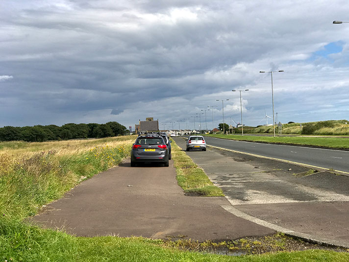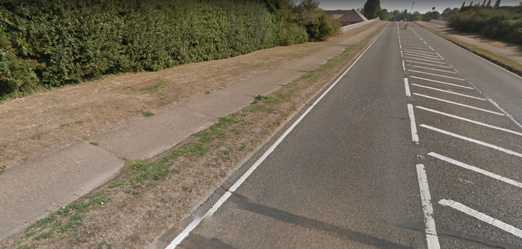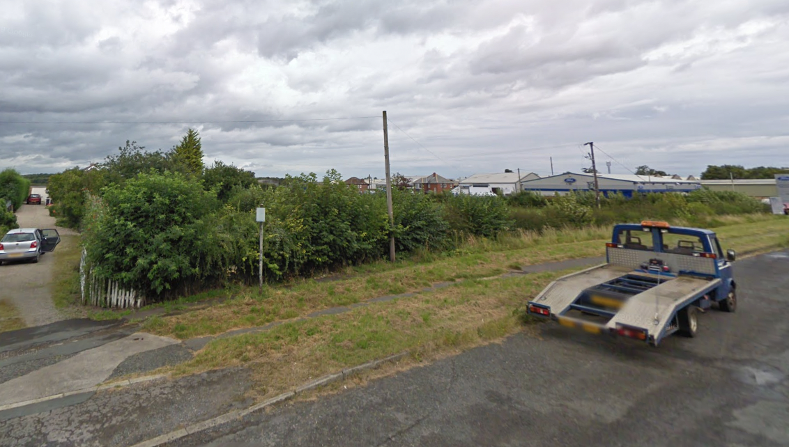
Overgrown footway and adjacent cycle track on former stretch of A64, near Tadcaster.
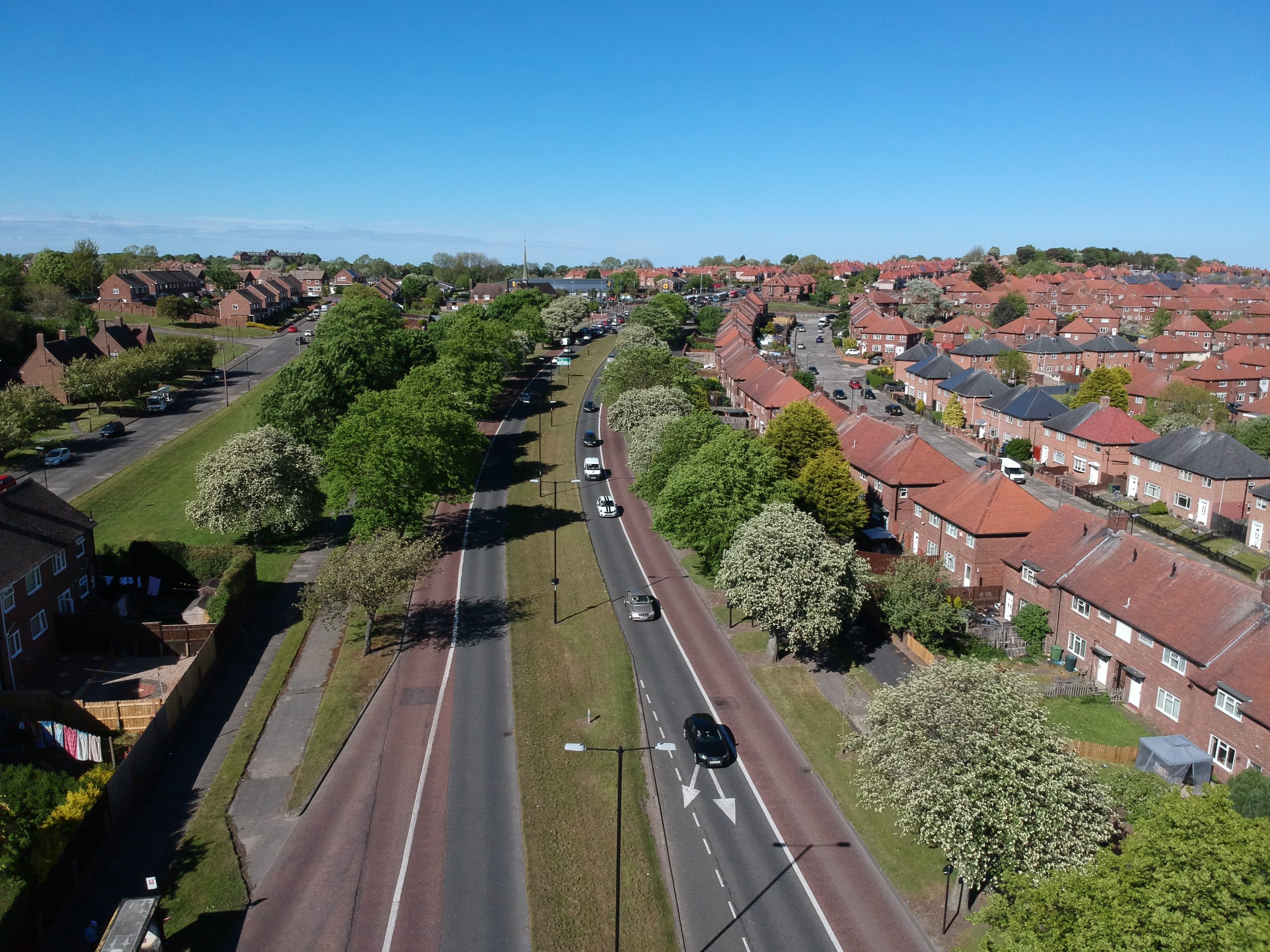
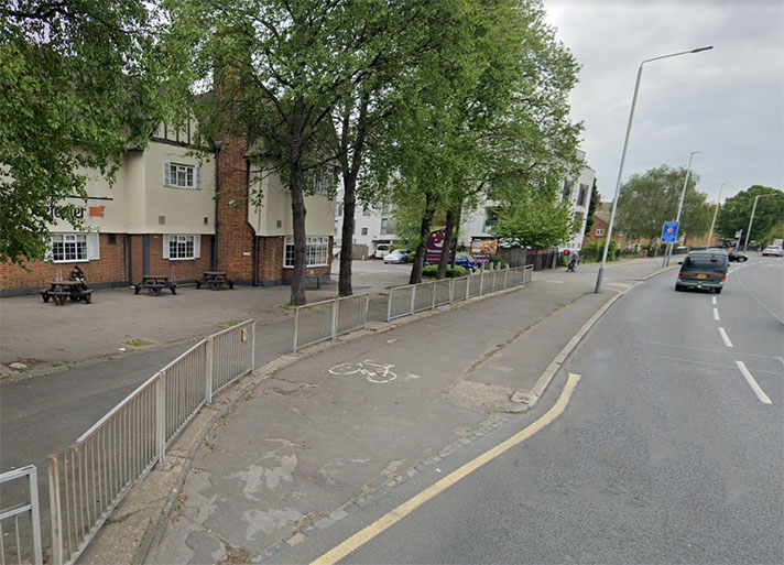
While there has been some remodelling of the A64 dual carriageway between Tadcaster and York the majority of it remains intact, including its period cycle tracks. Original parts of the dual carriageway — now acting as access roads to remodelled parts of the A64 — remain on the outskirts of Tadcaster and York, and they include remnants of the period cycle tracks.
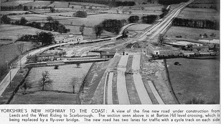
The dualling of the A64 was agreed with the MoT in 1936 but, in 1937, the local authority complained that building work had yet to start. Period newspaper articles show that the dual carriageways — and cycle tracks and footways — were built sometime after 1937 and before 1945.
The cycle tracks on the A64 between Malton and York opened in 1937.
It’s likely the Tadcaster-York cycle tracks were finished by late 1939; at least one carriageway was used for storing military vehicles during WWII.
“Another road scheme … is for widening to a total width of 120 feet a length of six miles of the Tadcaster and Hob Moor Road from near Tadcaster towards York,” reported the Leeds Mercury in 1936, adding that the road “will have dual carriageways, footpaths and cycle tracks.”
The following year Mr. H. K. Hepworth, surveyor for the West Riding County Council, complained in a meeting: “We submitted the scheme to the Ministry May last, [but we] have not yet got grant for the scheme, and I suggest that something might done to speed the machinery for making these grants.”
It’s likely that the grant came some time after this February meeting because two years later a Yorkshire Evening Post columnist mentioned the fact he had driven on the “dual road between York and Tadcaster.”
Military vehicles stored on the A64 may have been moved by September 1945 because a newspaper reported that, in order to cater for the heavy traffic expected for a horse racing fixture “both the northern and southern carriageways of the Tadcaster-York road will be open for traffic from 8 a.m. on September 4 to 5 p.m. on September 6 for York Races.”
“Cyclists travelling both to and from York should use the cycle track on the southern side of the dual carriageway,” recommended the police.


