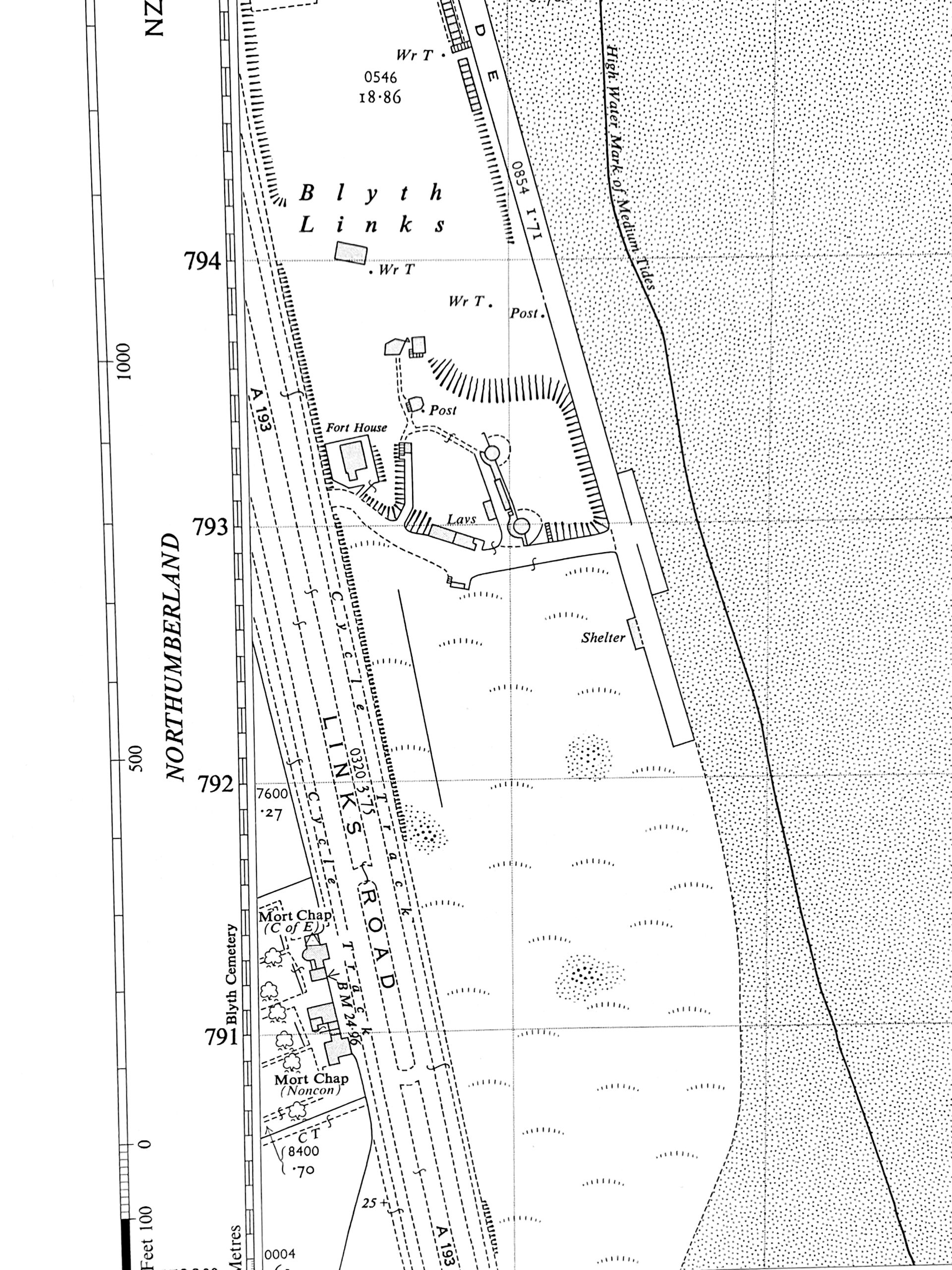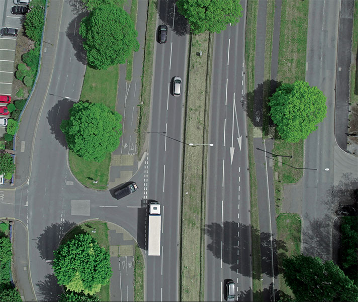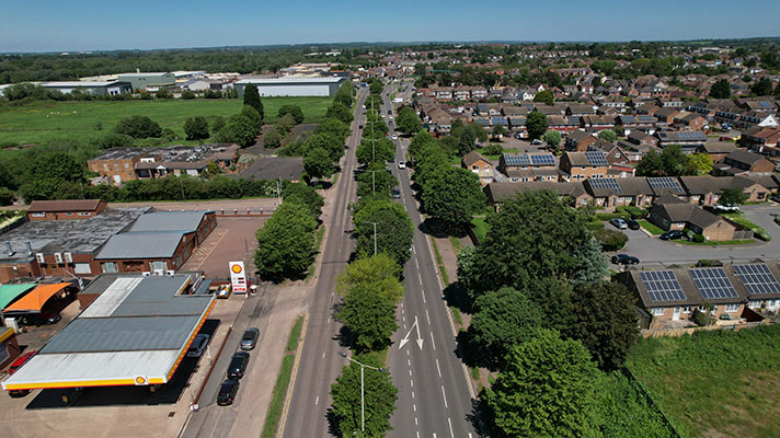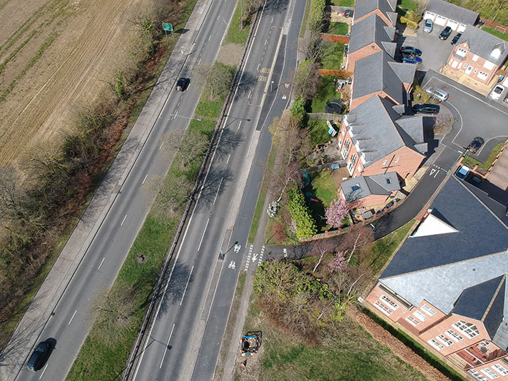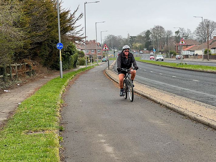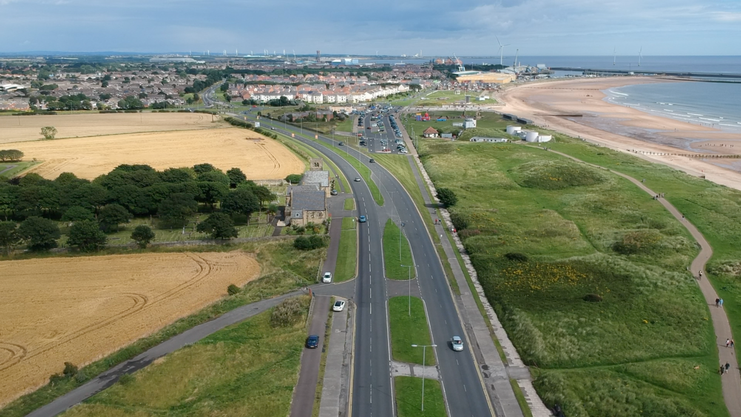
The cycle tracks and footways on Links Road originally continued north into Blyth, as can be seen on the OS map below. Part of the cycle track on the left has been grassed over.
Blyth Town Council approved plans for the Links Road and its cycle tracks in October 1936. “The Borough Engineer reported … that the proposed scheme was to widen the Links Road to make provision for road 120 feet wide with a two-way motor and cycle tracks, grass verges and footpaths, which would cost £31,000, from the north end of the Promenade to Gloucester Lodge,” said a report in the Morpeth Herald of that year.
The road was to be built to the standard Ministry of Transport plans of this period meaning 120-ft wide with cycle tracks and footways. A newspaper report in 1936 said the cycle tracks were to be 10ft wide, but more generally for the Ministry of Transport, the cycle tracks would be 9ft wide. The Ministry of Transport paid 75 percent of the costs.
This relatively short stretch of dual carriageway was originally intended to link with a similarly wide road from Whitley Bay. It’s likely that, as with many projects in this period, the full extent of the road remained unbuilt because of WWII.
According to a report in Blyth News, the dual carriageway, including cycle tracks and footways, was operational by May 1939.
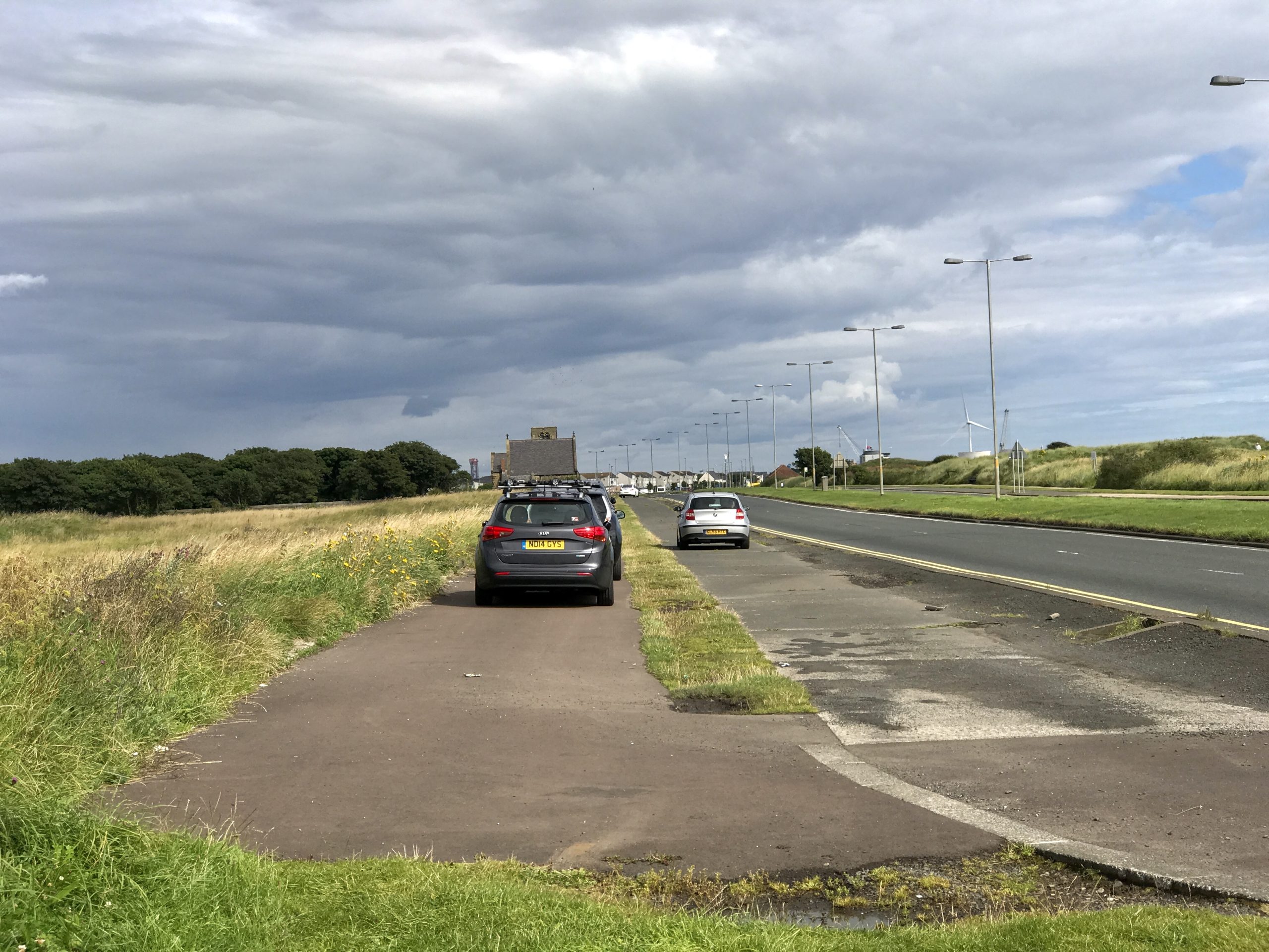
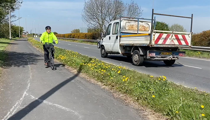
Motorists often park on the footway and drive on the period cycle track on Links Road, near Blyth.
