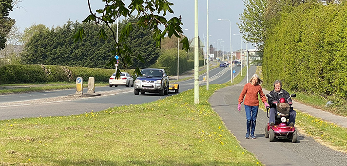
The Great Chertsey Road cycle track is still in use.
A “new section” of the Great Chertsey Road — a 9-mile arterial road from Chiswick to Sunbury, opened in stages from 1922 through to the 1930s — was to be constructed some time after January 1937, reported The Engineer.
The section, added the magazine, was “3/4 mile between Hospital Bridge-road and junction of Uxbridge-road and Staines-road” and would be “120ft. wide” and “will have two 27ft carriageways, a 14ft central reserve, two footpaths, and two cycle tracks, each 9ft wide.”
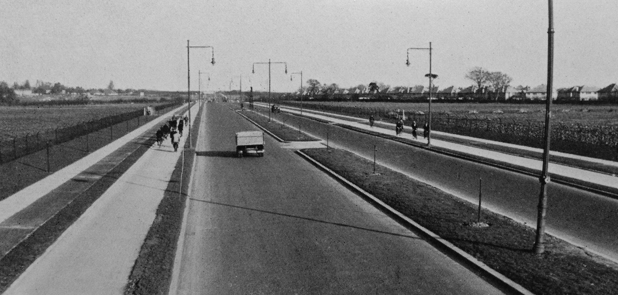
Chertsey Road cycle track, Twickenham, before infill developments which added more side roads.
The cycle tracks are marked as such on large-scale OS mapping and also visible on the 1945 aerial layer on Google Earth. Along with the adjoining footways they were constructed at the same time as the road in either 1938 or 1939. They are still in use today, although truncated by a 1970s flyover.
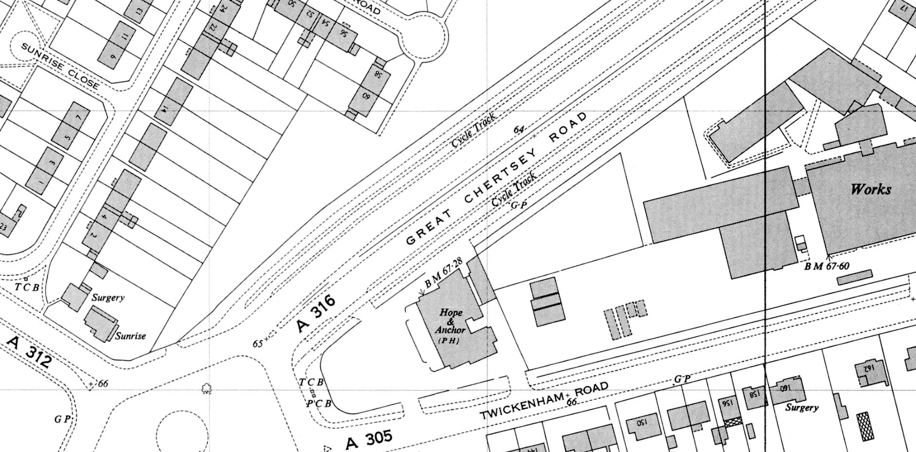
“Cycle Track” shown each side of Great Chertsey Road on this OS 1:1;250 map of 1962.
The cycleways on the rest of Great Chertsey Road are likely to be adaptations of 1920s-era footways.
Cyclists and pedestrians have also long used the narrower-than-usual concrete service road — https://maps.nls.uk/view/102893704 — near Redway Drive, images of which were captured by the Google Street Car: https://goo.gl/maps/MqYfqyEKhQYodnTK9
Period cyclist use of service roads was encouraged.


