The attempted camouflage on the Caerwent/Crick cycle track was a secret during WWII.
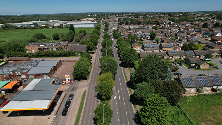
The 1.25 mile Caerwent bypass — part of a five-year upgrade to the Chepstow to Newport road — was opened on 3 October 1932 by the Earl of Plymouth.
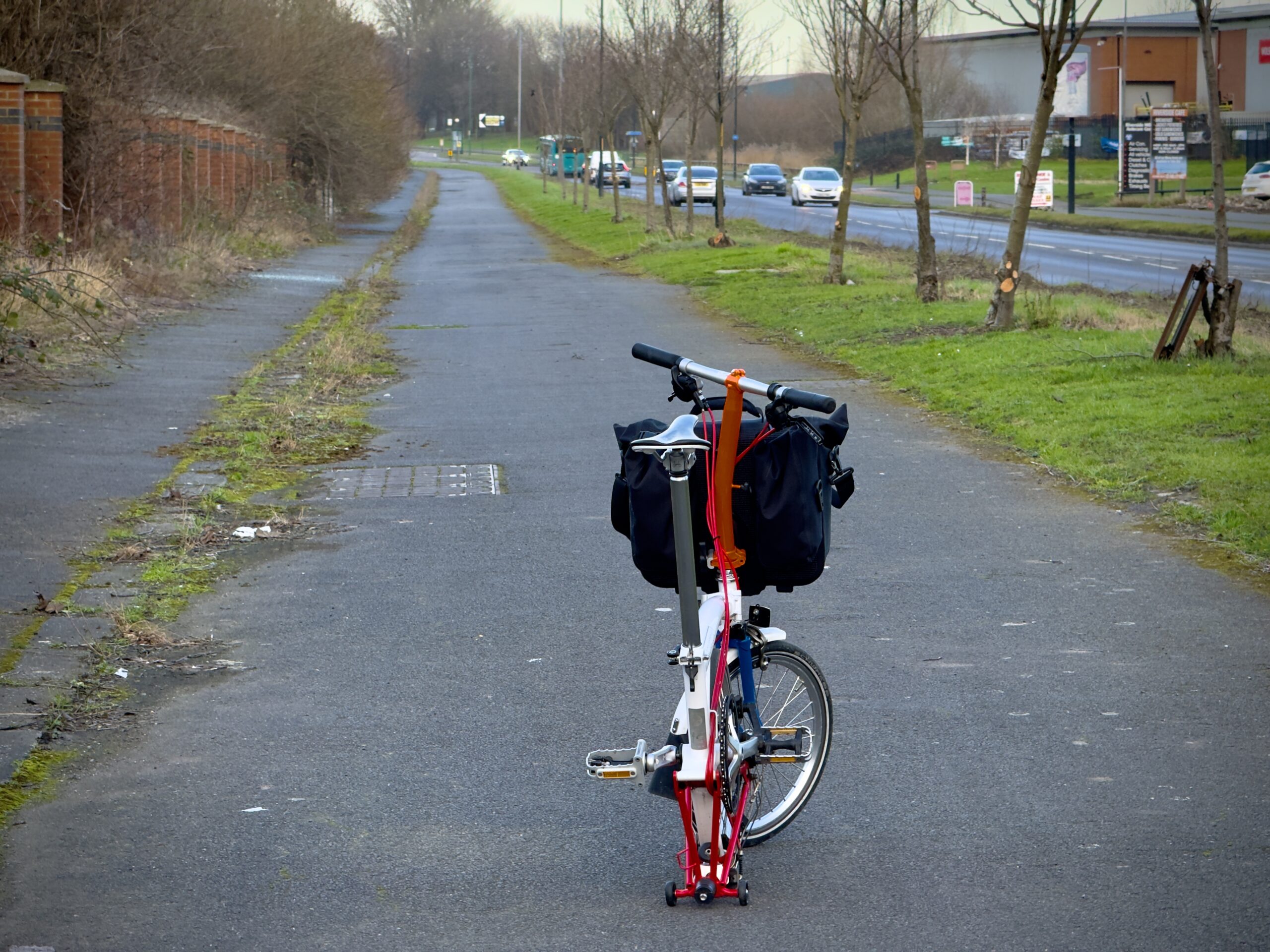
Originally the road did not have cycle tracks, but these were added in 1939 as part of the war effort to provide safe cycling access to a newly-built munitions factory.
(Workers cycled to WWII munitions factories. From elsewhere in the country, a child evacuee to the countryside remembered that her father had been “blown off his bike by bomb blast on his way to work in a munitions factory.”)
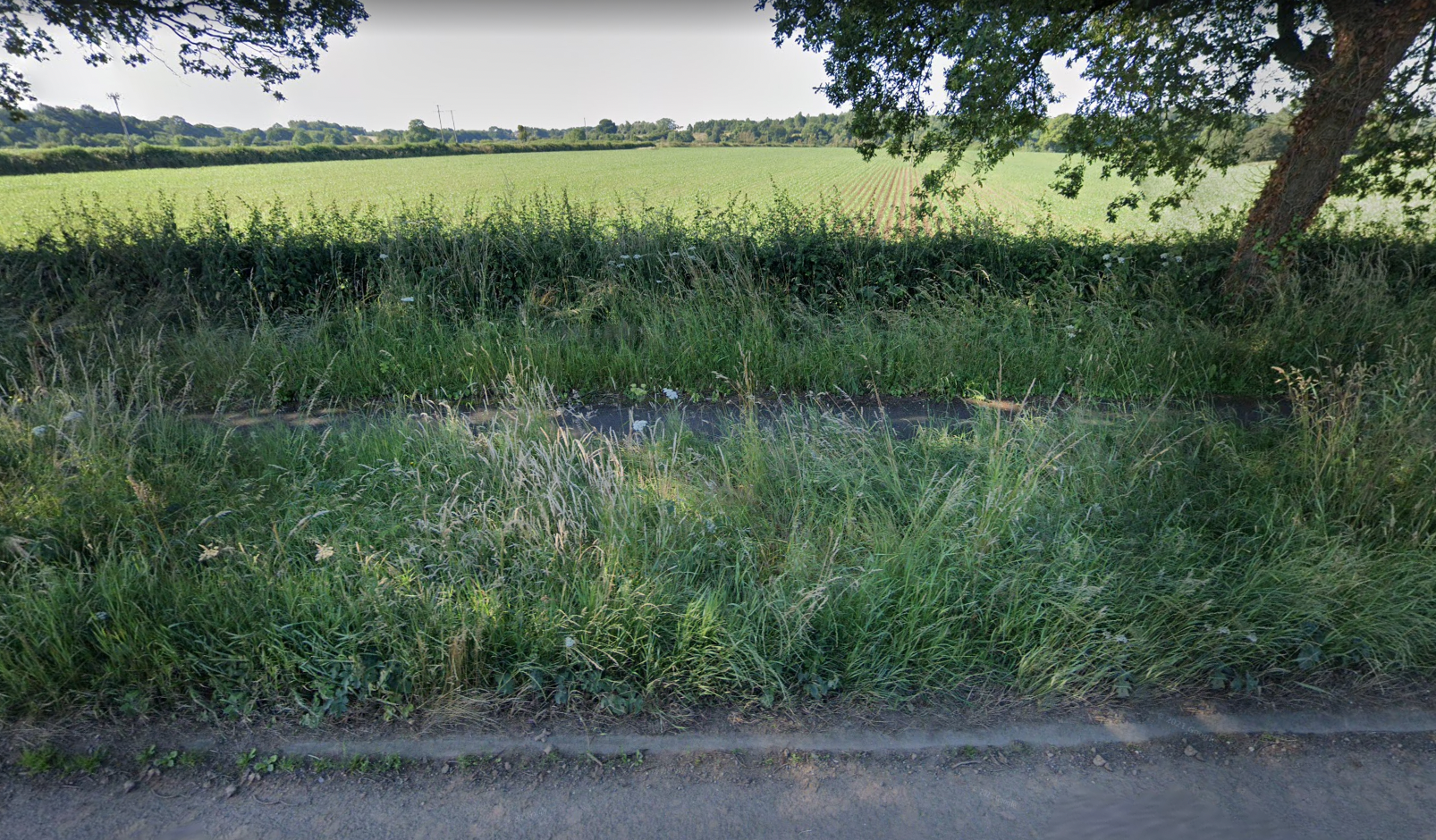
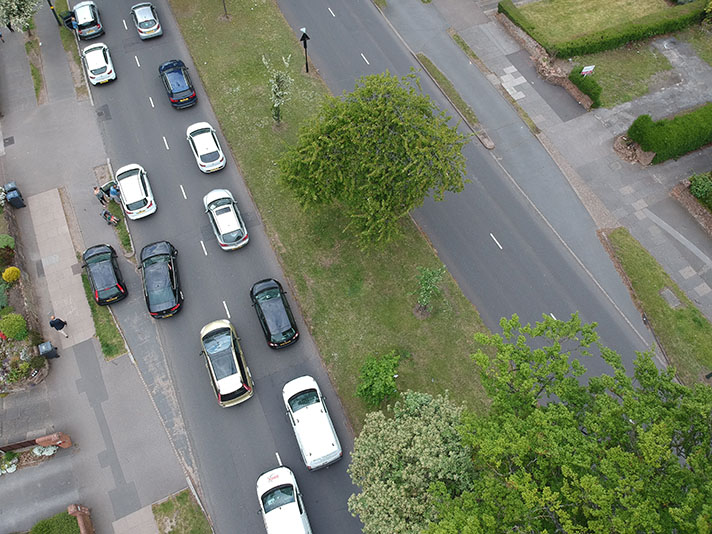
The Caerwent/Crick cycle track is still camouflaged — today it’s hidden by grass.
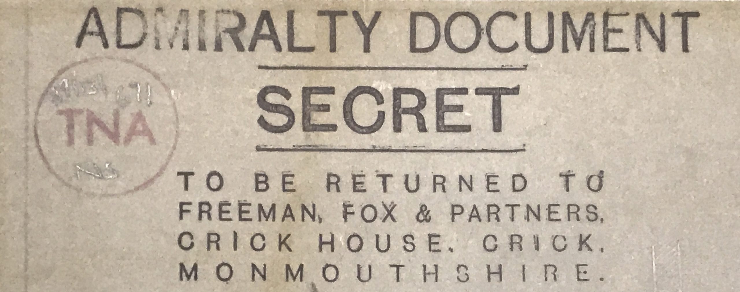
The Royal Navy Propellant Factory at Caerwent was constructed in 1939. According to 1:500 Admiralty plans marked “Secret” a new double-sided cycle track on the road next to the base was to be painted to look like the surrounding fields. The cycle track had been planned in 1936, says a report in the Gloucester Citizen. It was opened in early 1939, paid for with a 100 percent grant from the Ministry of Transport, according to the Western Mail.
The plans for the factory had been first drawn up in the summer of 1936, with one of the key requirements being that, because of the manufacture of nitroglycerine, it should be located away from areas of high population, but sufficiently close to provide an adequate workforce — within cycling distance, in fact. The factory took shape on farmland five miles west of Chepstow.
It must have been reasonably obvious from the air that a cordite-making factory was taking shape beside the Caerwent bypass. The factory’s standard gauge railway system even once had connections to the national rail network so camouflaging the adjoining cycle tracks might have been seen as overkill.
After the war the base became an RAF propellants factory making materials for the Seaslug missile. The base was closed in 1993.


