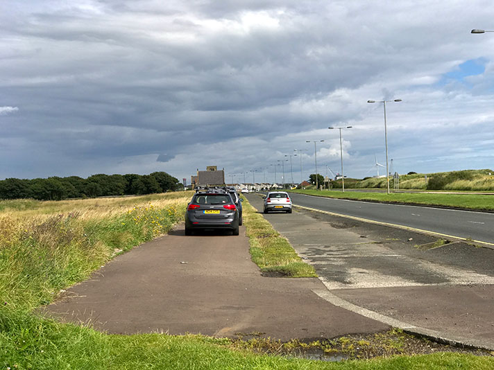
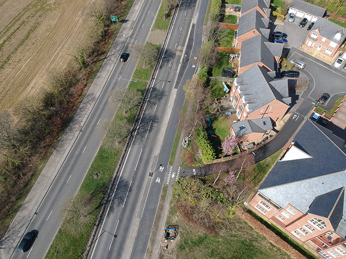
Marston Road, Oxford

OS 1937-61
Modern Map
Date opened/built:

Before 1945.

Length:

0.46 mile (740 metres).

Width:

6ft (1.83m).

Adjoining footway:

Yes.

Road type:

Urban main road.

Surface:

Modern asphalt.

Both sides of road:

Yes.

Adjacent to social housing:

Yes.

Period mapping:

OS 25-inch revised 1939, published 1947 https://maps.nls.uk/view/106017294 Shows cycle tracks; “cycle tracks” not labelled.

OpenCycleMap status:

https://www.opencyclemap.org/?zoom=18&lat=51.76396&lon=-1.23461&layers=B0000 Cycleways marked both sides of road; footways partially marked.

Sources:

Period maps, period newspapers, Google Earth 1945 aerial layer.

Period map info shows existence of tracks in 1930s as does Google Earth’s 1945 aerial layer but I have found no confirmatory documentary evidence to date the track. Without citing a source, Oxford County Council’s 2020 Local Cycling and Walking Infrastructure Plan (LCWIP) dates the cycle track to 1937, which is plausible.

NOTES

Explore the tracks