Gloucester Road North, A38, & Gipsy Patch Lane, B4057, Filton

OS 1937-61
Modern Map
Date opened/built:

c. 1939.

Length:

Gloucester Road North, 0.88 mile (1.42km); Gipsy Patch Lane, 0.19 mile (311m).

Width:

Unknown.

Adjoining footway:

No.

Road type:

Urban dual carriageway.

Surface:

Modern asphalt.

Both sides of road:

Yes and no.

Adjacent to social housing:

No.

Start:

https://goo.gl/maps/8F18bG18QMDvr9pQ8

End:

https://goo.gl/maps/rhxTDQEB3gGGcjX96

Period mapping:

OS 1;1,250 layer, dated 1953 https://maps.bristol.gov.uk/kyp/?edition=

OpenCycleMap status:

https://www.opencyclemap.org/?zoom=16&lat=51.51868&lon=-2.56292& layers=B0000 Cycleway marked west side of Gloucester North Road; no footways marked. No cycleways or footways marked on south side of Gipsy Patch Lane.

Sources:

Period maps, newspaper reports, MoT papers held by National Archives.

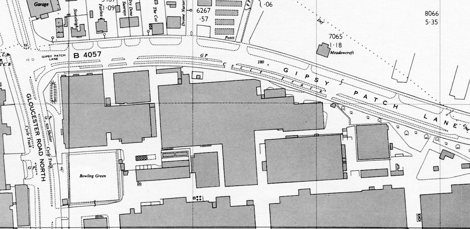
Large scale OS map of Gloucester Road North and Gipsy Patch Lane marks both roads as having cycle tracks, and it appears there’s a rare-for-the-period protected junction.

Gloucester Road North (also sometimes described as Gloucester North Road) was straightened and widened after 1937, and equipped with footways and cycle tracks at the same time.

“The Ministry had now intimated that they would proceed with the widening of the existing trunk road provided the proposal was reduced in cost to provide for an 80-foot road only, with a 30-foot central carriageway and two cycle tracks and footpaths,” reported Gloucestershire’s county surveyor in a highways committee meeting in September 1937.

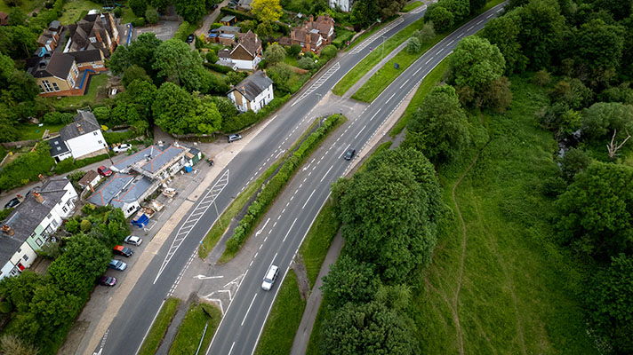
Large-scale heritage mapping on Bristol City council’s website shows that there was a period kerb-separated cycle track each side of the road, from the rectory connected to St. Peter’s church along Gloucester Road North. The track linked with a short one on the south side of Gipsy Patch Lane. The track ended just after Taurus Road, which did not exist in the 1930s. If the OS map above is correct, and there was some form of protection for cyclists turning left from Gipsy Patch Lane on to Gloucester Road North, then this would be an example of a protected junction, unusual for the period.

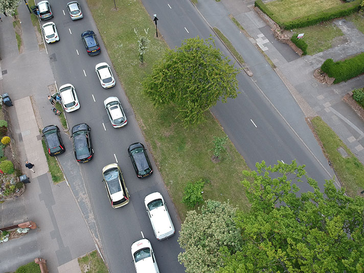
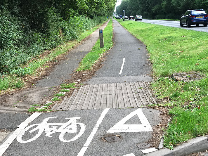
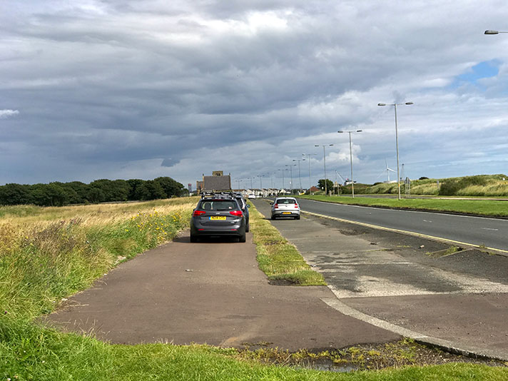
It’s clear that the width of both Gloucester Road North and Gipsy Patch Lane were the same in the 1930s as today but a later reconfiguration has wholly obliterated the 1930s cycle track. An inferior shared-use path has been reinstated on Gloucester Road North.

The reconfiguration of Gloucester North Road/Gloucester North Road — including a flyover on the Gipsy Patch Lane junction — took place in the 1970s.

The cycle tracks had been good enough in 1965 for Mrs Barbara Castle — the then Minister of Transport — to suggest they should become compulsory for cyclists to use. This was subject to a compulsion trial for the cycle tracks on the Oxford eastern bypass. It’s unknown — but unlikely — that any such order was imposed at Filton.

NOTES

“The Ministry had now intimated ... “Wickedly dangerous,” was the description applied by a member at Monday’s meeting of the Gloucestershire Highways Committee to that portion of the Gloucester-Bristol road from Filton Church to Filton Aerodrome. The Vice-Chairman (Captain R. A. Bennett), who presided, quoted from a report by the County Surveyor, which states that when the revised five-year programme of road improvement was under consideration by the Committee in October, 1935, special instructions were given the County Surveyor by the Committee to give priority to the preparation of a scheme for widening the section, having regard to the developments taking place at the Bristol Aeroplane Works adjoining the road, and to the intensity of traffic resulting.

Plans were on the point of completion for a 100-foot road ... [but] the Ministry had now intimated that they would proceed with the widening of the existing trunk road provided the proposal was reduced in cost to provide for an 80-foot road only, with a 30-foot central carriageway and two cycle tracks and footpaths...New plans had now to be prepared for a modified scheme. The Vice-Chairman added that he, Captain J. H. Trye, and the County Surveyor, had gone into the matter, and all agreed that the bigger road was to be preferred to the 30-foot carriageway with paths and cycle tracks. But it seemed to him that if they upset the Ministry they might not get anything at all.

“So it might be advisable to accept this in the hope they will get on with it,” added the Vice-Chairman.”Gloucester Journal, 11 September 1937.

This was subject to a compulsion trial ... An MoT meeting was held on 6th January 1965 in Room 6/16 St. Christopher House, London, to discuss the proposed cycle track orders at Filton and Oxford. Ministry of Transport archives, National Archives.

The following year the Minister approved one of the orders:

“Cycles must keep to own track

Mrs. Barbara Castle, Minister of Transport, has approved proposals making the use of certain cycle tracks compulsory for pedal cyclists. The proposals are those of the Oxfordshire County and Oxford City Councils and concern the cycle track on the Oxford eastern by-pass. This is three miles long with a cycle track 12-15 feet wide. More than 2,500 cyclists use this section of the by-pass daily on their way to and from factories in the area but it is estimated that almost a third use the main carriageway, mixing with motor traffic. The cycle track is also being used by some small cars, threewheelers and two-wheeled motor vehicles. The Minister has decided to confirm two traffic regulation orders which makes the use of the cycle track on the by-pass compulsory by pedal cyclists. The Ministry of Transport says that these orders are regarded as an experiment and will be reviewed after two years. A similar proposal for the A38 trunk road at Filton, near Bristol, is to be withheld until the Oxford scheme has been evaluated.” Liverpool Echo, 3 August 1966.

Explore the tracks