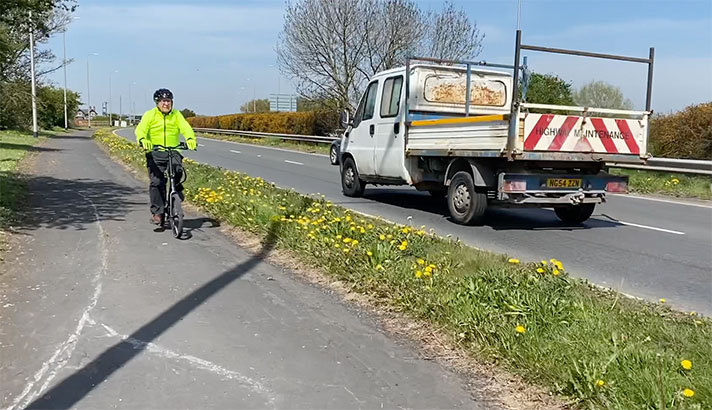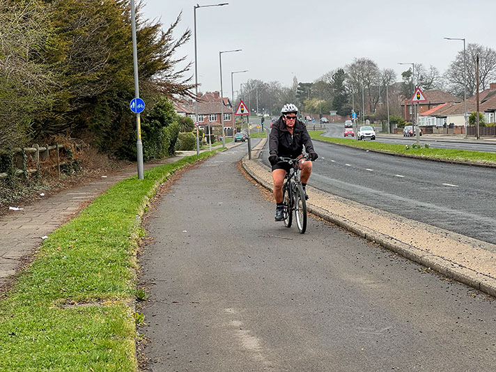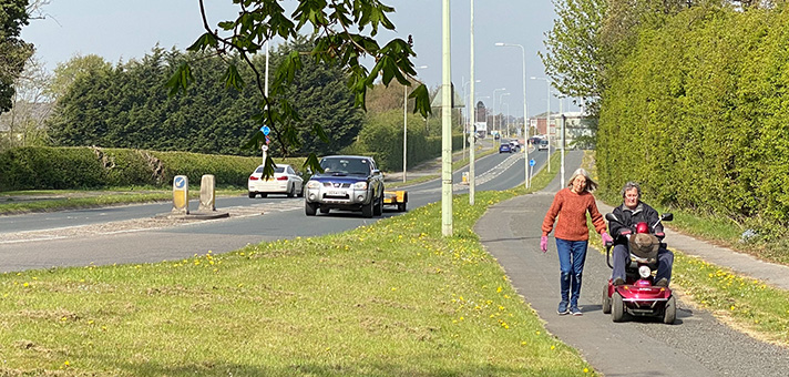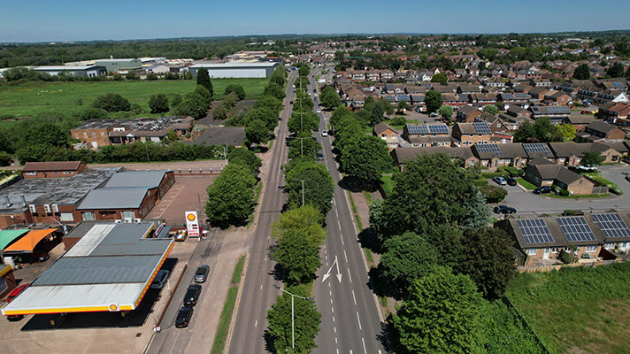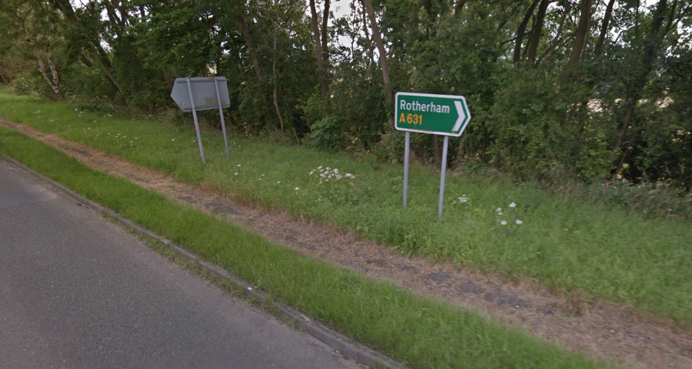
The cycle track on one side of the Gringley bypass is often unkempt.
“Within recent months grants from the Road Fund have been made to the Nottingham County Council for bypasses at Scaftworth and Beckingham, and Mr. Hore-Belisha, Minister of Transport, has now approved a grant towards the cost estimated at £27,900 of a similar scheme at Gringley,” said the Nottingham Journal in 1936.
“The by-pass will built on the south of the village, and will be nearly mile long, work under this scheme will probably take about two years … dual carriageways, cycle tracks and footpaths are being provided.”
A 1936 newspaper report said the bypass would feature two 6ft cycle tracks and one footpath.
According to a local history club the bypass was completed by 1939 although only half of it was open to traffic; the other half was used for storing tanks.
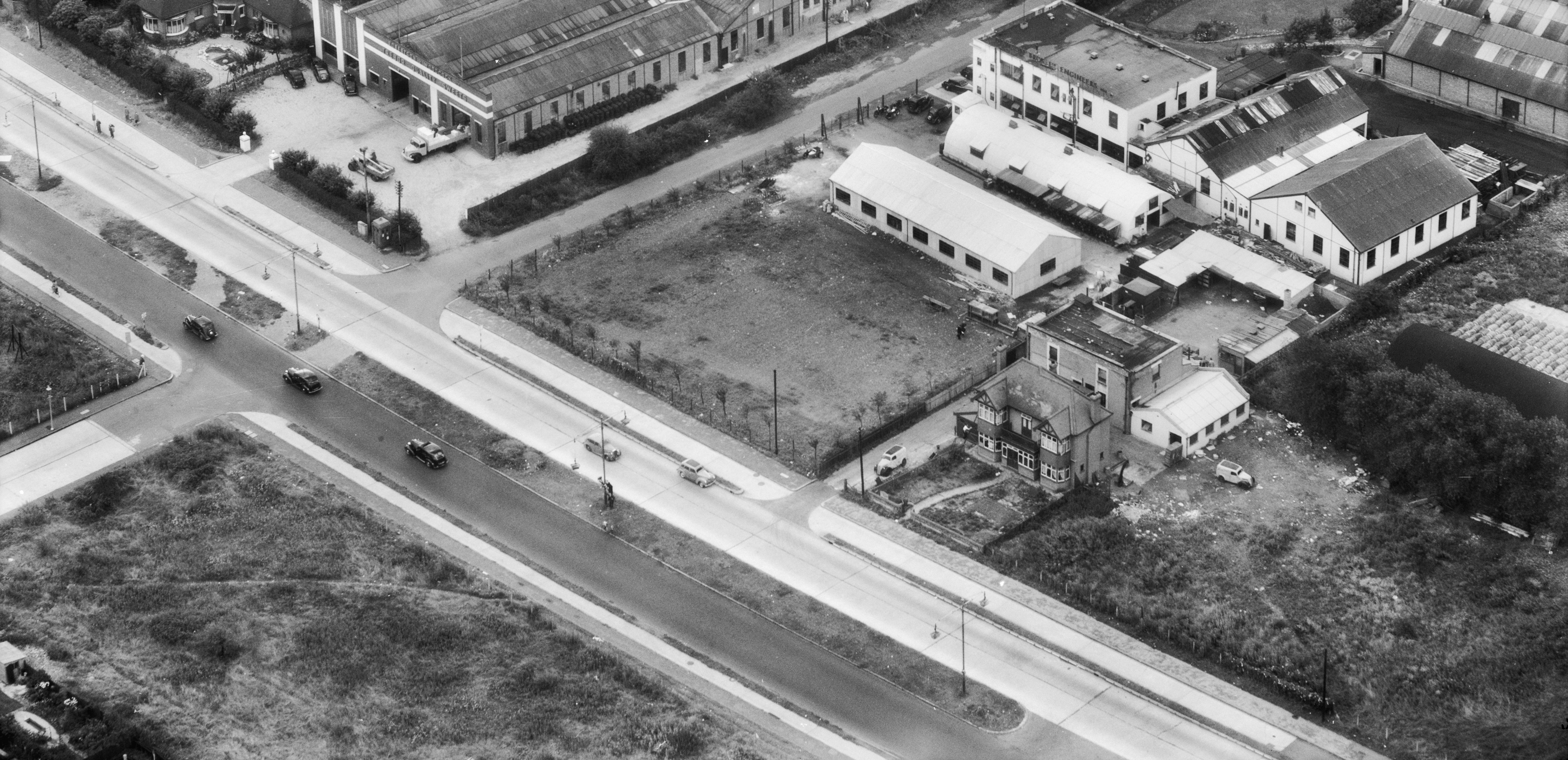
A 1973 aerial photograph possibly shows the cycle tracks or footways on both sides of the road but only one asphalt strip is visible today.


