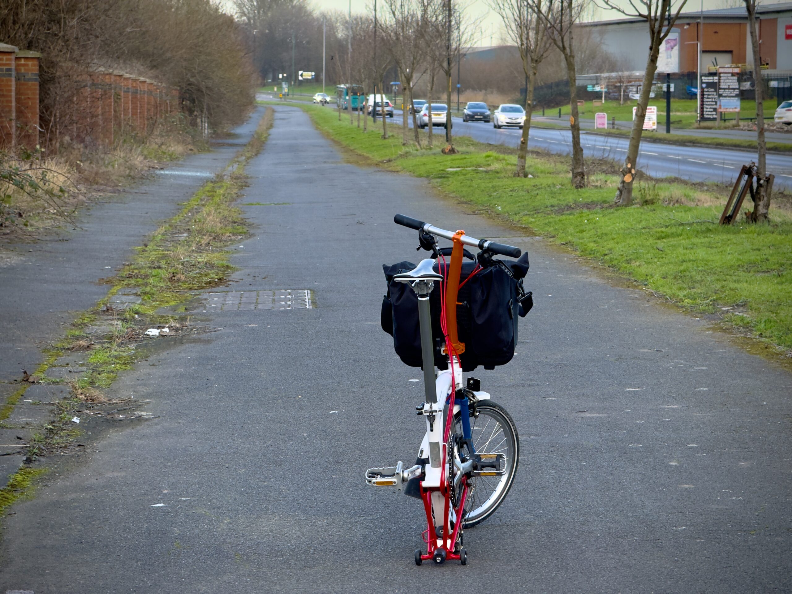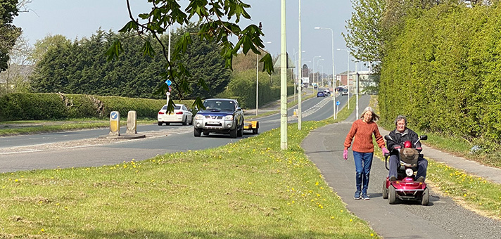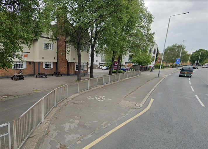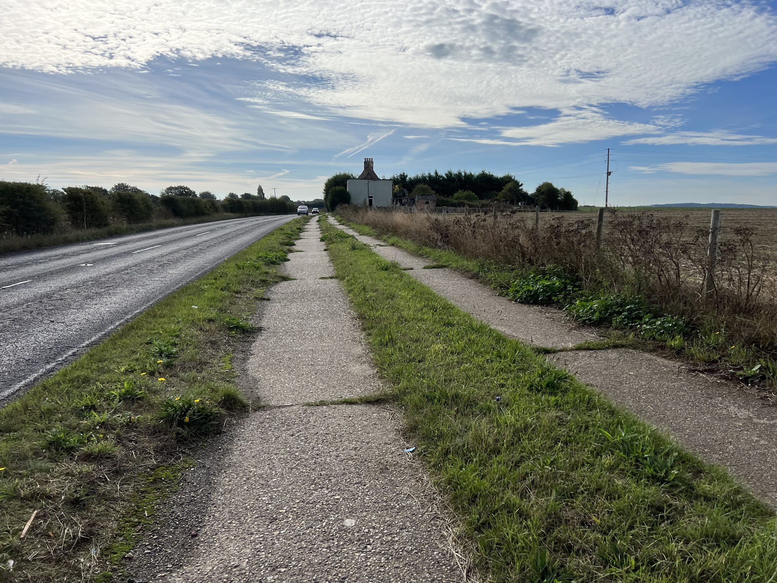
Concrete cycle track and adjoining footway, at Sholden, near Deal.
Google Earth’s 1960 aerial layer shows the existence of a bright white 1930s-style cycle track and footway beside the Sandwich Road at Sholden, near Deal. The 1940 layer has no such cycle track or footway.
The cycle track goes from Sholden to the road entrance of the former Betteshanger Colliery, which opened in 1924 and closed in 1989. No documentary evidence has been found for this cycle track but, given it was built between 1940 and 1960, it was almost certainly created with a utilitarian intent.
There’s proof that many miners cycled to work at this colliery. In 1941, the Dover Express reported that Albert Williams of Betteshanger “rented three sheds from the Colliery, and miners used the sheds for storing their cycles.”
A March 1946 report in the same paper said that the county surveyor was to meet with the “Colliery Company in regard to … the road and paths at Betteshanger Colliery Village.”
In this same report it was revealed that “125 German prisoners [of war] had been employed” on snow clearing and it’s possible that their labour was also used for road and path construction. (A contributor to the BBC People’s War archive remembered that, in WWII, another bypass in Kent had “prisoners of war working on it.”)
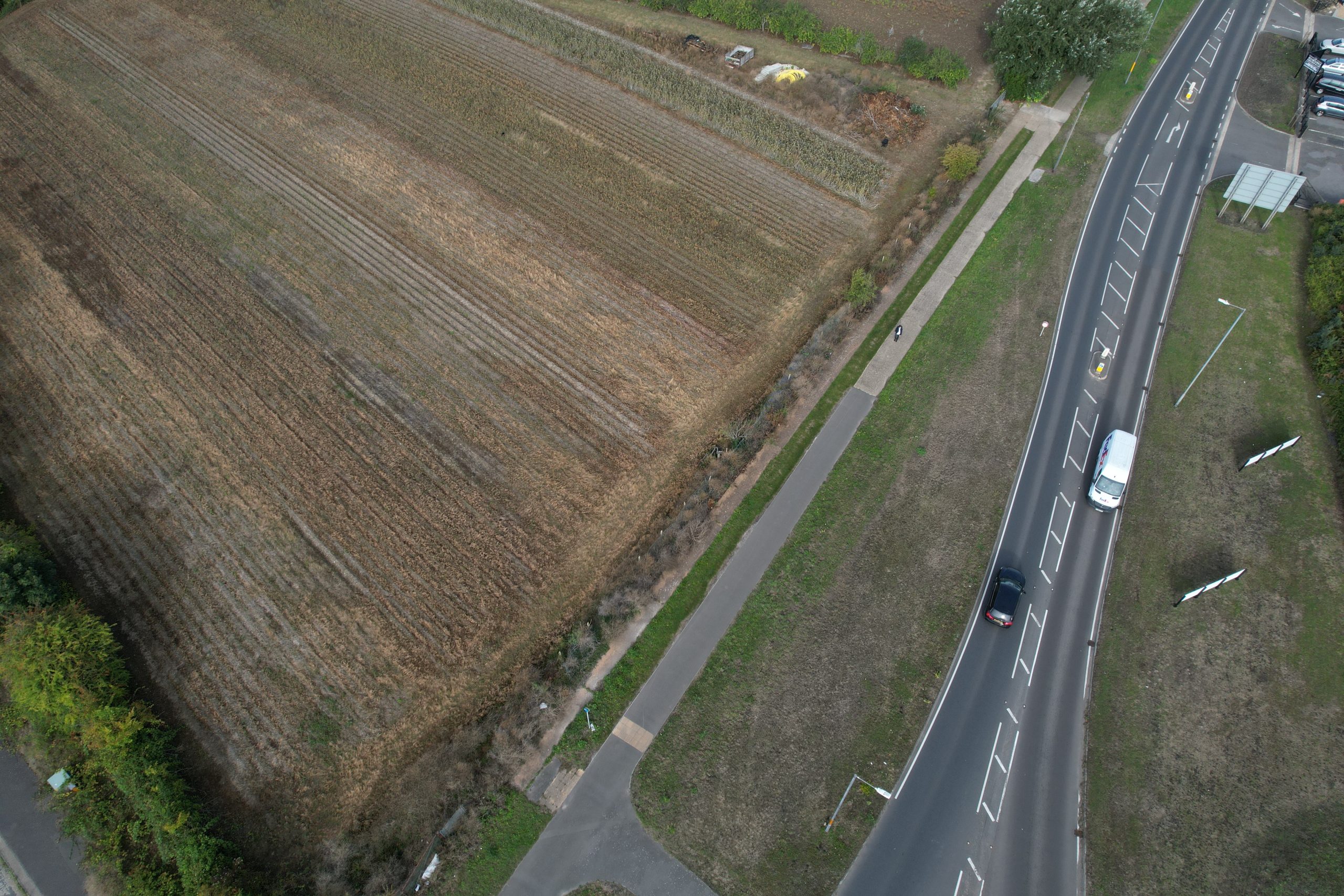
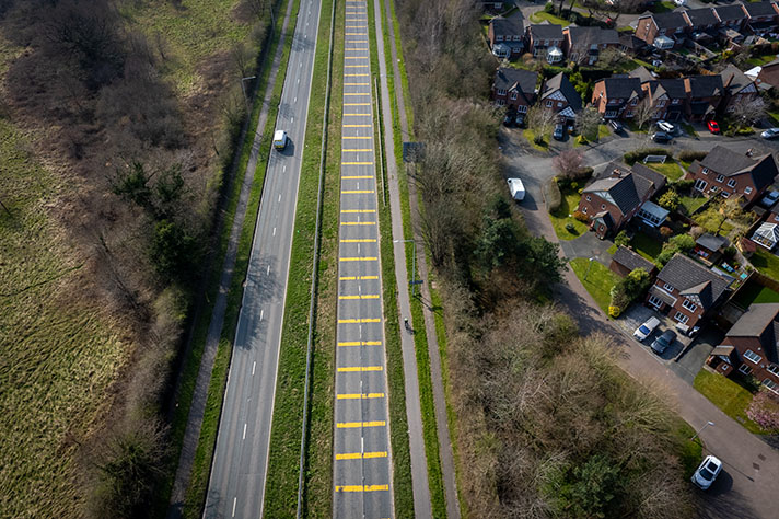
Drone view of the concrete cycle track at Sholden, near Deal.
Later in 1946 the newspaper reported that the “Colliery Company had received two tenders for making up paths with gravel, and tar sprayed.”
The Highways Committee, added the newspaper, “recommended that the question of the making-up to a standard required before taking over by the County Council be left.”
Perhaps the tar spraying was upgraded to a concrete surface for a miners’ cycle track and adjoining footway?
The site of Betteshanger Colliery is now Betteshanger Country Park, opened in May 2007 in association with Sport England.
The park has a smooth, six-metre-wide 3.5-km-long asphalt road race and time trial circuit used by three local cycling clubs, and lauded by British Cycling as one of the best such circuits in the UK. There is also a mountain bike trail in the park.


