Kesgrave’s cycle infrastructure dates to the 1960s, but with possible 1930s antecedents.
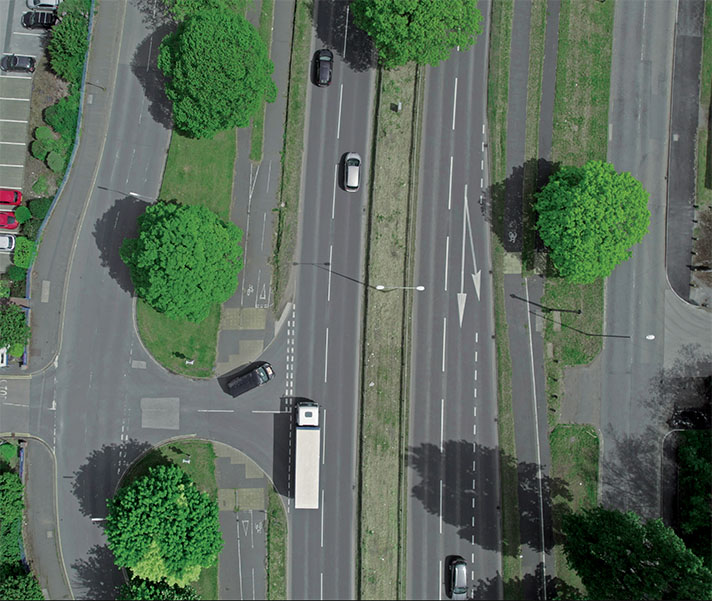
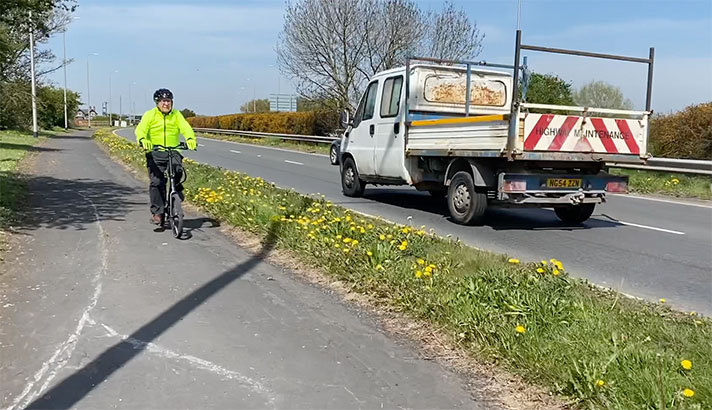
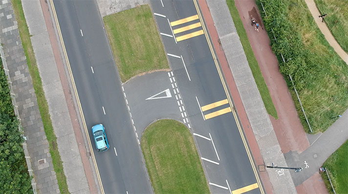
With almost half of its pupils cycling each day, Kesgrave High School has the highest proportion of children who cycle to school of anywhere in the UK. Partly this is due to a good network of cycle routes, including a surprisingly wide cycle track beside Main Road, which is now the numerically inferior A1214 but, prior to the building of a nearby bypass, used to be the busy A12.
A subway beneath the road allows people to cross to the school in grade-separated safety. Built in 1960 as a condition of further urban expansion, the subway’s connection with Main Road’s wide cycle track may date from that time. A 41-second extract from a 1960 BBC Look East news report on the underpass does not feature any cycle tracks.
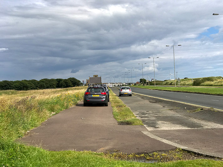
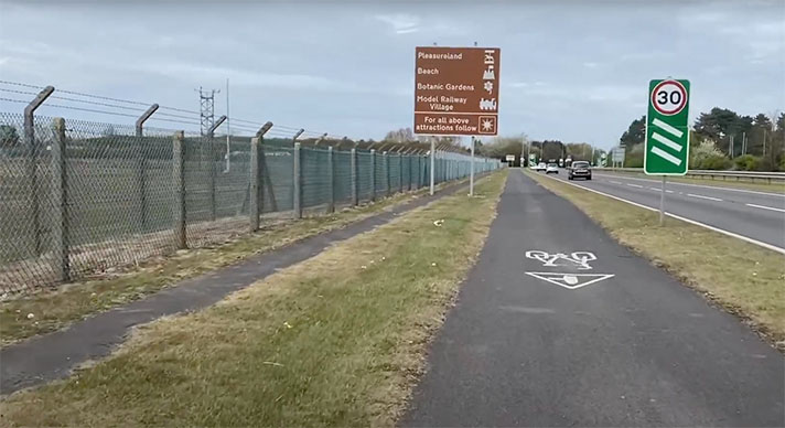
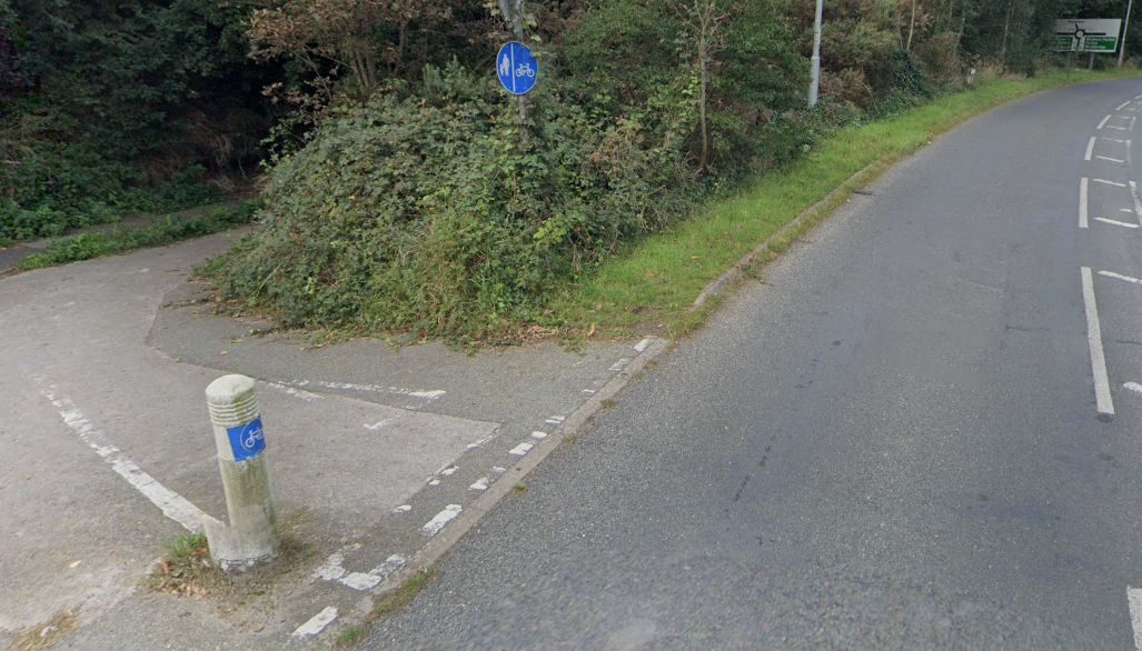
The track approaching Portal Avenue from the other side of A12 roundabout looks like a 1930s-era cycle track, with a kerb-protected cycle track closest to the road and an adjacent footway.
The track — which is part of the old road — disappears under a subway beneath the A12.
Could this date to the 1930s? It’s possible. In the 1930s the old A12 was the access road to RAF Martlesham Heath, a Royal Air Force base since 1917.
Several RAF bases and at least one WWII ordnance factory were equipped with Dutch-style cycle tracks in the late 1930s. See, EUXTON LANE, NEAR CHORLEY and CAERWENT/CRICK, A448.
Before its use as a key base during the Battle of Britain and its later use as a joint RAF/USA Air Force base, RAF Martlesham Heath was the national centre for development and testing of all aircraft, both military and civil. The Aeroplane and Armament Experimental Establishment (A&AEE) of the Royal Air Force was moved to Boscombe Down in Wiltshire at the start of WWII, and RAF Martlesham Heath housed a succession of fighter squadrons including, from 1942, several USAAF squadrons.
Closed in the 1960s, much of the former base disappeared under a 1970s housing estate, an industrial estate centred on BT’s Adastral Park research campus and Suffolk Constabulary’s HQ. However, some of the roads are period, including Portal Avenue. Through until the base’s closure this was known as ‘B’ Flight Road, one of two public roads running through the base.
The cycle track on the west side of Main Road approaching Portal Avenue could be a 1930s cycle track and footway. The track north of Portal Avenue is wider, and more suggestive of a 1960s/1970s cycle track. (A footway or possible cycle track can be seen on the east side of the road at this point.)
When the wide cycle track nears Kesgrave High School it splits into an even wider cycle track and an adjacent, grass-verge-separated footway.
Unlike 1930s-era cycle tracks and footways, the Kesgrave footway is situated next to the road. The tracks merge into one at the subway.
North of the subway, the cycle track switches to roadside and is surfaced with red asphalt. The cycle track and footway then disappear under a shallow, 1970s-style subway beneath a roundabout.
It’s probable that the Kesgrave track dates to the 1960s, when some local authorities still built cycle tracks.
But what about the track that leads to the former RAF/USAAF base? It could date to the 1930s and 1940s but this is far from certain. Cycling was certainly common both on and off the base. According to the manager of the base’s museum records show that the USAAF was supplied with 3,000 bicycles for use as transport within the confines of RAF Martlesham Heath. It’s entirely likely that these bicycles were also used as transport away from the base.


