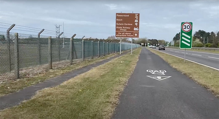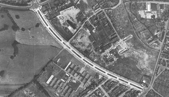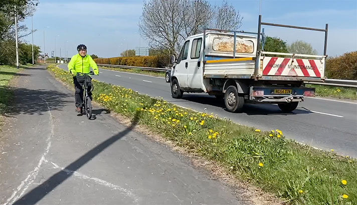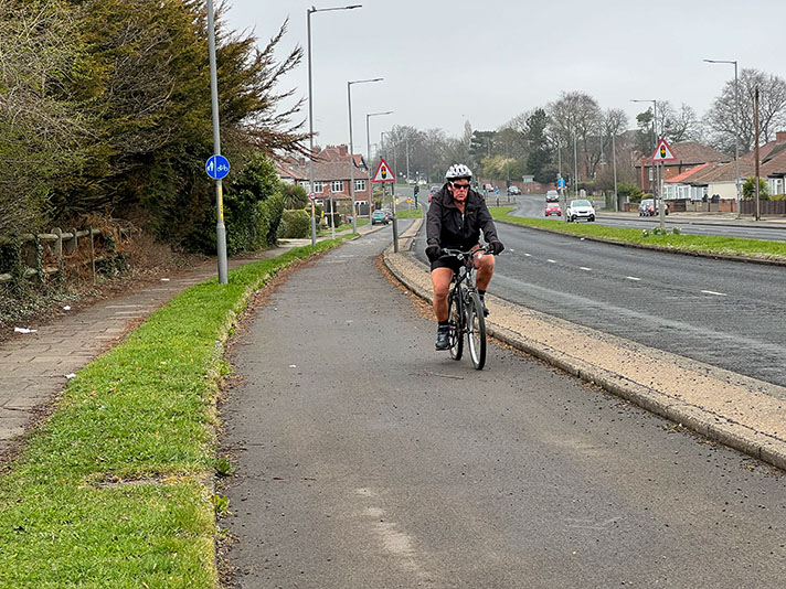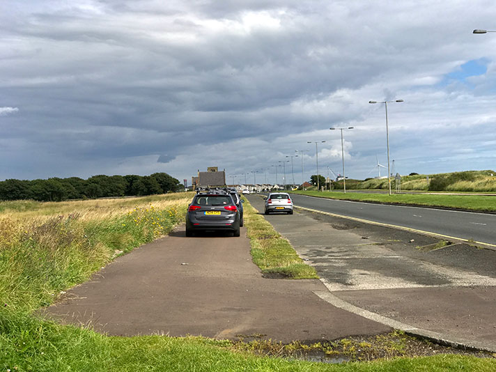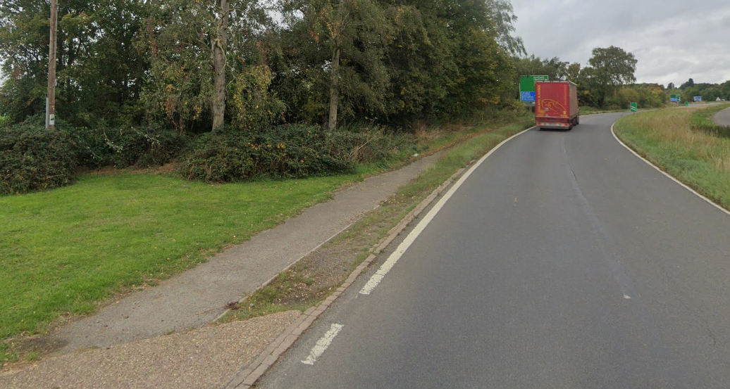
A45 cycle track, near Dunchurch.
“I feel that serious consideration should be given to the question of whether [bypass roads] should be restricted to the sole use of motor traffic and that no cyclists or pedestrians should be permitted to use them,” Warwickshire’s county surveyor Mr. D. H. Brown told the AGM of the Institution of Municipal and County Engineers at Bournemouth in 1937.
“Complete freedom for the traffic would result,” he added.
An example of just such a road — free of cyclists and pedestrians — was, he said, “the dual carriageway at Dunchurch, opened to traffic in April, 1935.”
This was provided with a short, narrow cycle track that few cyclists then, and none today, would wish to use.
Brown argued at this meeting for the “provision of properly constructed foot- paths and cycle tracks,” but, if it was he who commissioned the dual carriageway at Dunchurch, he didn’t put these beliefs into practice.


