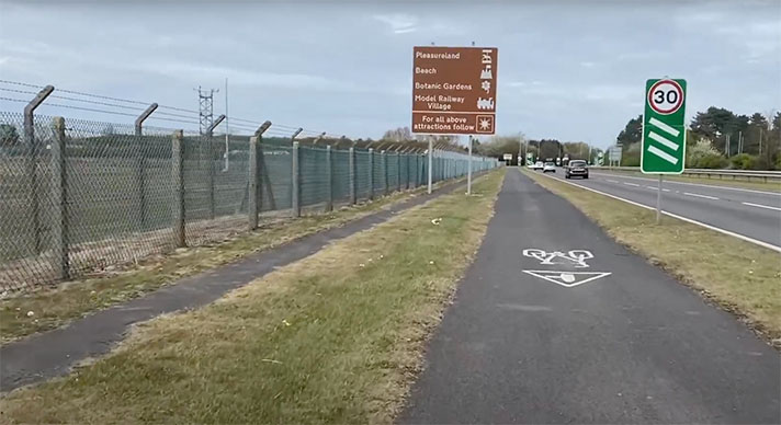
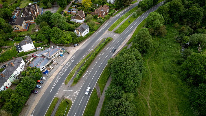
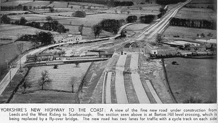
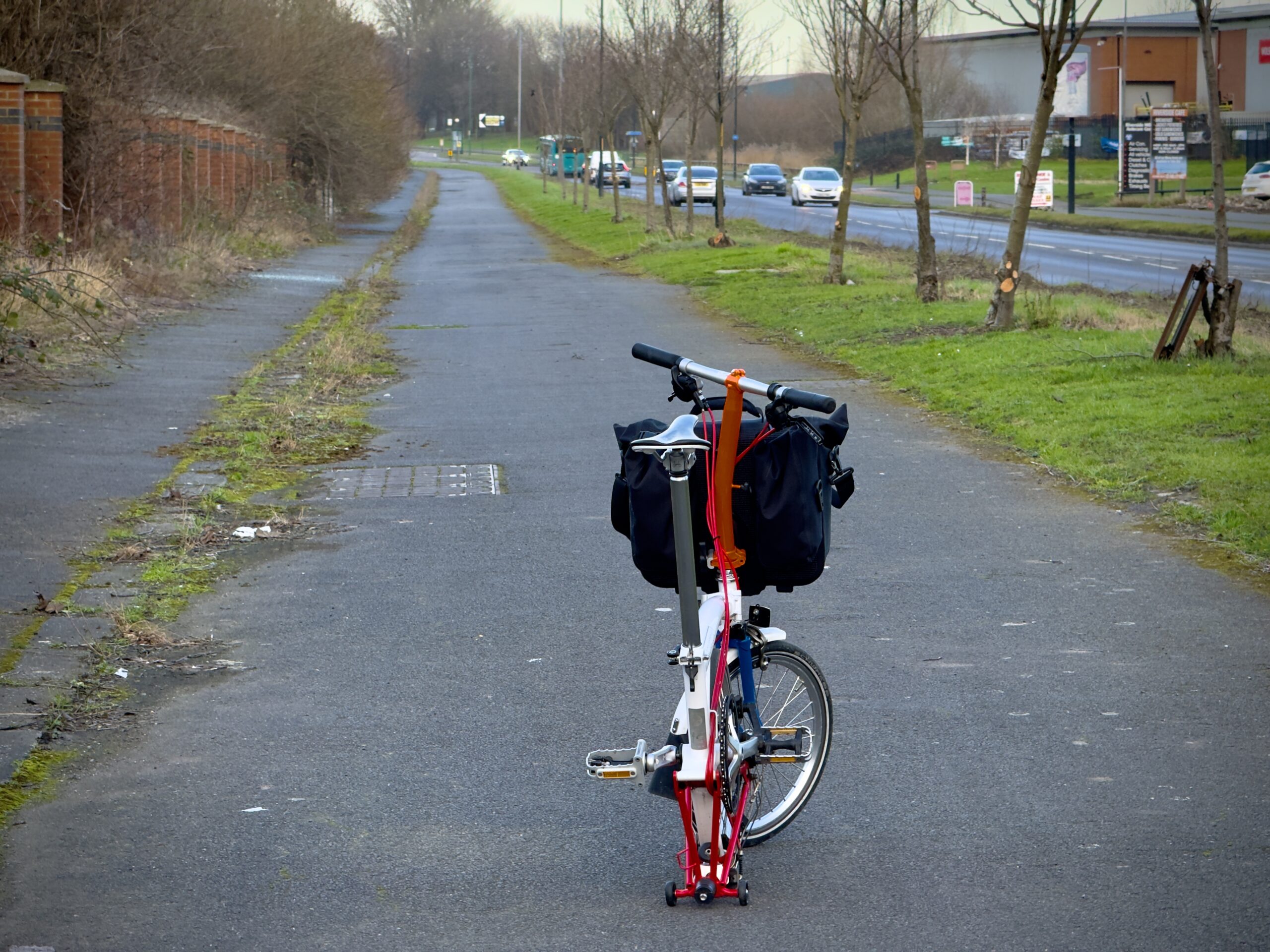
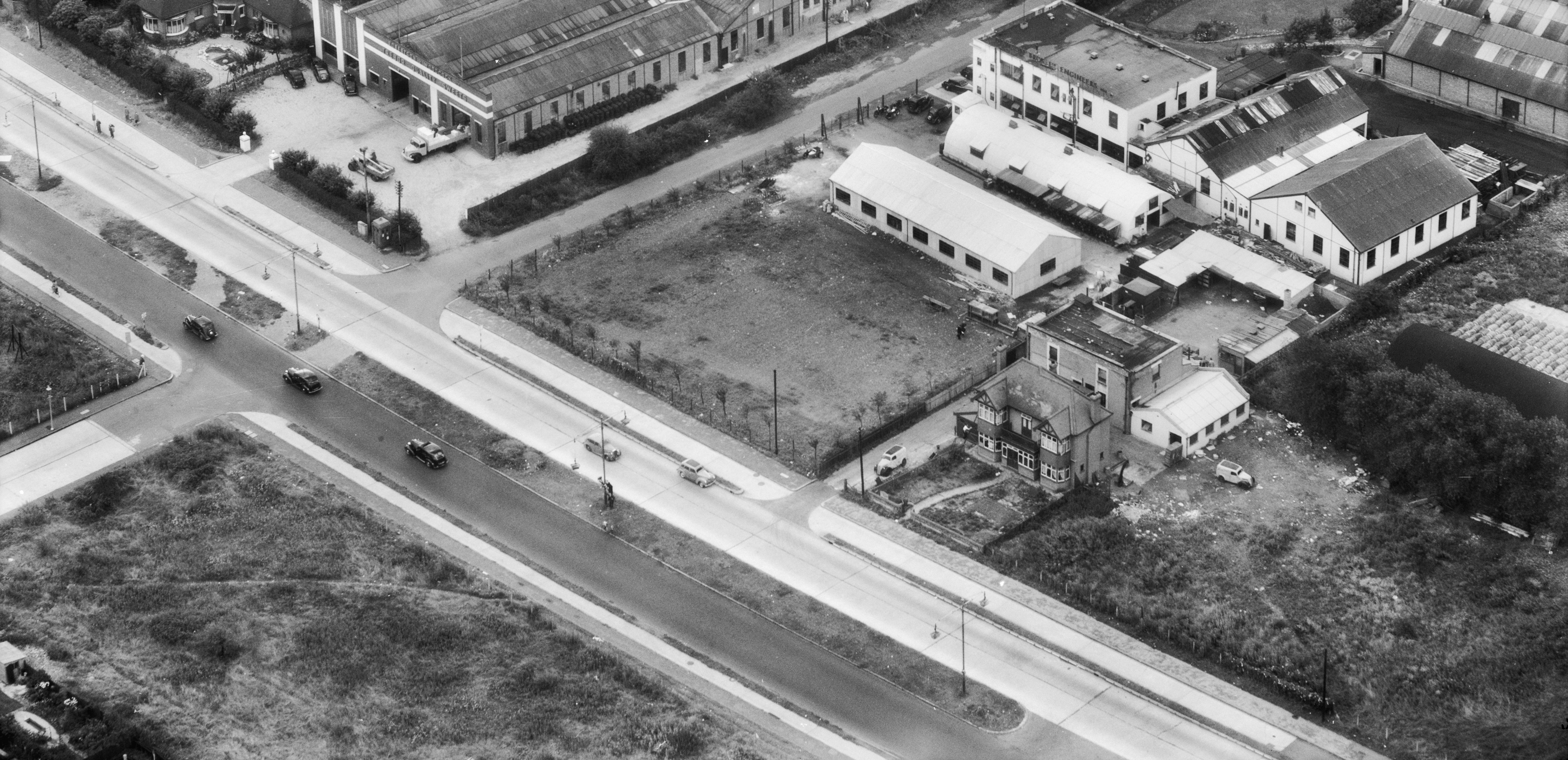
There is no on-the-ground evidence for cycle tracks and footways on this Roman road, but period reports, including one from the Ministry of Transport, say that they were being constructed in 1937 and might therefore have been expected to be ready by 1939.
However, a local newspaper reported in June that year that the building works had only just “commenced.”
“After three years of negotiation with frontages and consultation with the Ministry of Transport, Beds County Council have commenced the road widening scheme in Luton-road, Dunstable,” stated the Luton News and Bedfordshire Chronicle.
“When the scheme is completed there will be a 30-foot roadway, and on either side of it a six-foot cycle track and 6.5 foot footpath. Between road and cycle track there will be a grass verge 2 feet 3 inches wide, and between cycle track and footpath another verge 1 foot 3 inches wide. The length of road to be reconstructed extends for nearly a mile — from Dunstable Town railway station to Pointers-road junction … over a hundred front gardens on the same side of the road will soon be mutilated to make way for the motorist.”


