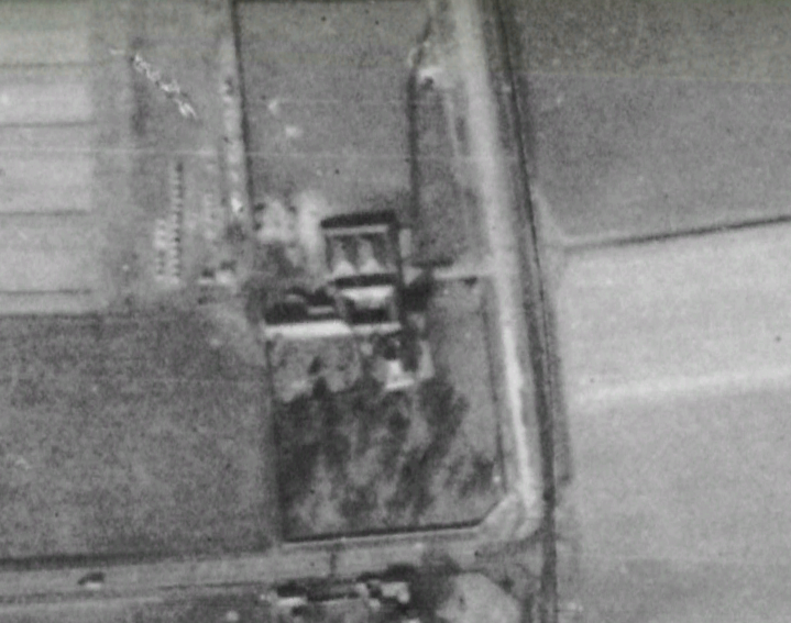
The understanding was ... Kincardine Bridge was opened by Lord Elgin, Lord Mar and Kellie, and Charles Horsbrugh (respectively Conveners of the counties of Fife, Clackmannan, and Stirling) on 29 October 1936. It had the largest swing span of any bridge in Europe. Renumbered as A876 by 1956 then A985 in 2008 upon the opening of the adjacent Clackmannanshire Bridge. See: https://www.sabre-roads.org.uk/wiki/index.php?title=Network_changes_-_1930s
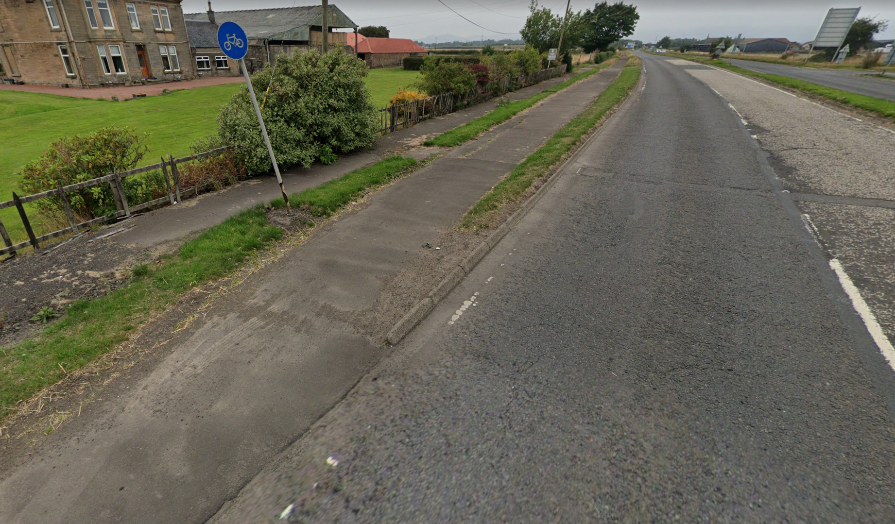
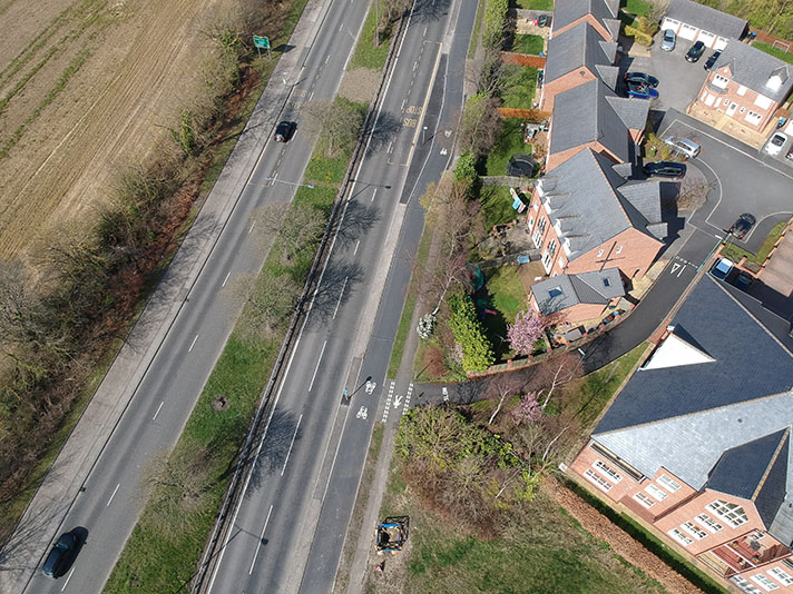
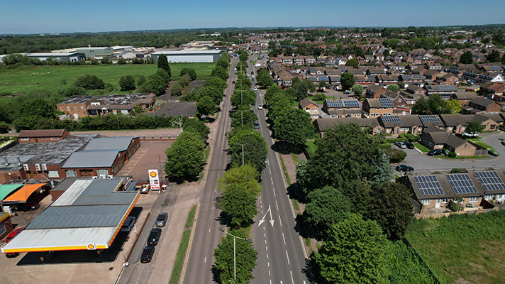
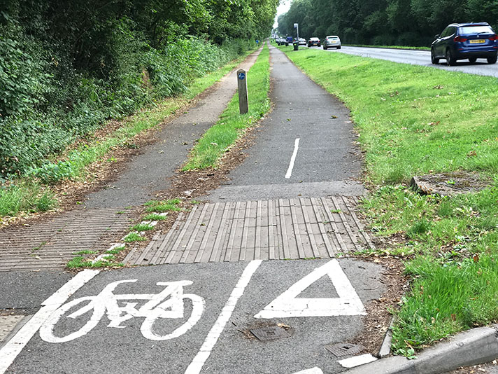
“The County Road Surveyor ... “In the minute of meeting of the Highways Committee, it was reported that the chairman stated that he had been informed that the Ministry of Transport had now decided that they could not make any grant for a single 30-feet carriageway between Bellsdyke Road and Beancross. The Ministry might be prepared to make a grant of 75 per cent, for 22-feet carriageway between these points, with cycle track and a footpath, provided that the County Council took in sufficient land for a second carriageway to constructed at a later date if required. The County Road Surveyor was instructed, if the Ministry agreed to give the 75 per cent, grant to prepare plans for the layout for submission at next meeting. In the meantime, he was instructed to proceed with the construction of dual carriageways between Kincardine Bridge Road and Bellsdyke Road. Replying to Bailie Brown, Grangemouth, who asked for further information in connection with the matters referred to in the minute. Mr T. G. Wilson, Killearn, convener of the Highways Committee, said the plans were submitted to the Committee at their last meeting, and had since been forwarded to the Ministry of Transport for their approval. Whenever the Ministry indicated that they were willing to give a 75 per cent, grant for the work, the Highways Committee would pressed as soon as possible. At the moment, the indication from the Ministry was that the grant would to given, though nothing had been put in black and white. With a 75 ner cent, grant, the total cost would be approximately £17,500, or £1,000. more than the original estimate.” Falkirk Herald, 29 April 1939.
