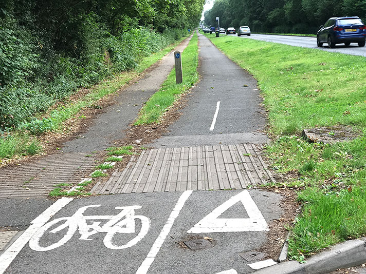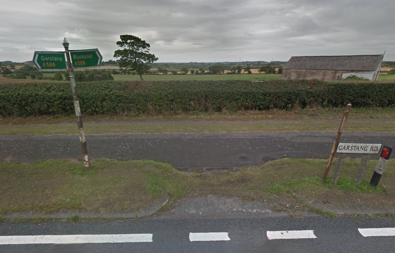
Period finger post column with modern signs in front of the 1939 cycle track and somewhat hidden footway.
“Motorists travelling to Blackpool through Garstang are now able to [use] the new road which has cut out Great Eccleston village,” reported the Lancashire Evening Post in May 1939.
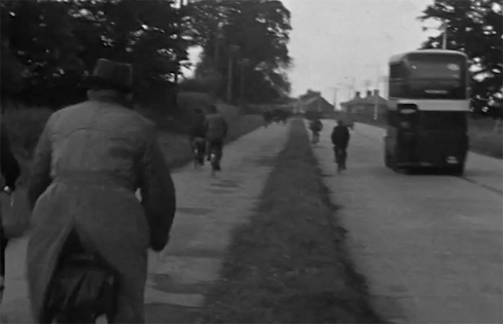
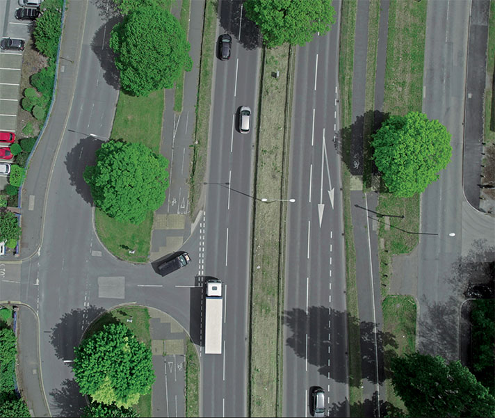
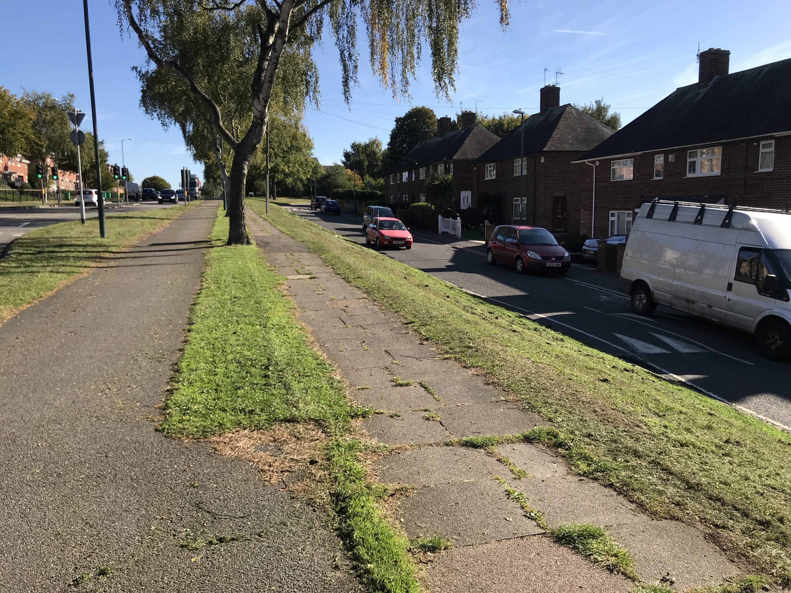
“The by-pass was opened to the public to-day without ceremony,” added the paper, saying that “all forms of transport should enjoy the advantages of this by-pass, for it includes a 30ft carriageway, two cycle tracks — each separated from the carriageway grass verge — and two footways throughout.”
The cycle tracks and footways are still in situ, although the footways have a tendency to disappear under hedges, when unkempt, which appears to be much of the time.


