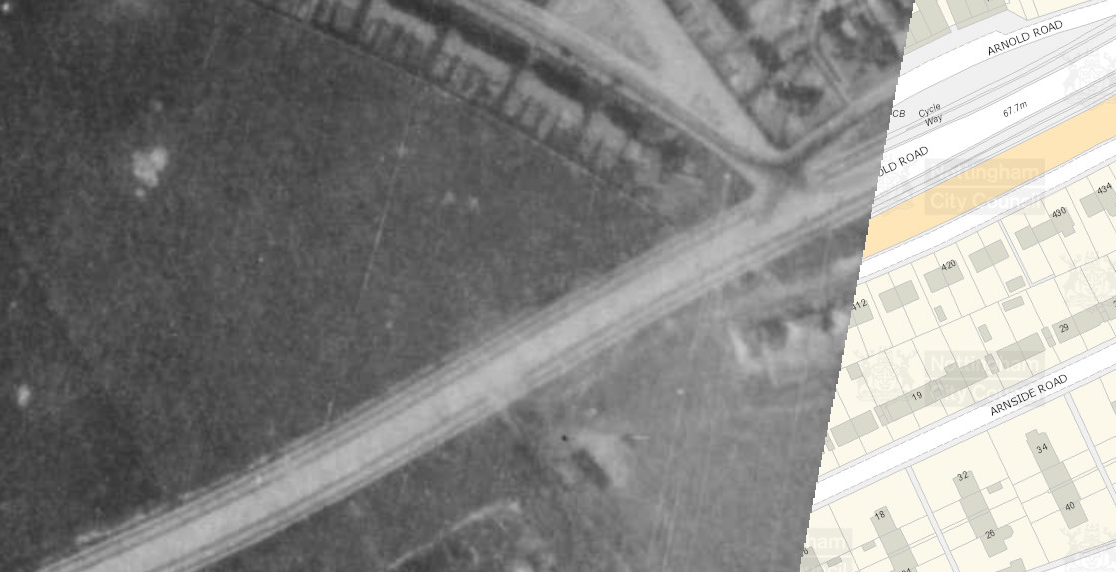
Arnold Road, B6004, Nottingham

OS 1937-61
Modern Map
Date opened/built:

c.1938.

Length:

0.62 miles (1 km).

Width:

9ft (2.74m).

Adjoining footway:

Yes, 6ft (1.83m), with flagstones.

Road type:

Urban single carriageway.

Surface:

Modern asphalt; red asphalt beneath, in patches.

Both sides of road:

Yes.

Adjacent to social housing:

Yes.

Period mapping:

OS 1:10,000, surveyed 1951-55, published 1956 https://maps.nls.uk/view/189228264, no cycle tracks marked. OS Six-inch, surveyed 1938, published 1947 https://maps.nls.uk/view/101603118 No cycle tracks marked.

OpenCycleMap status:

https://goo.gl/maps/Hi5MKVL2UJGYSQG28 Marked as cycleway with footway.

Sources:

No newspaper reports or archival records but period aerial photography shows existence by 1940s.

Other:

Video, 11 mins 23: https://youtu.be/IsTN4Xv7hPw

The 1940s aerial layer of Nottingham City Council’s Insight Mapping shows cycle tracks and footways beside Arnold Road. The cycle tracks were probably installed sometime between 1937 and 1939 when the city council built stretches of cycle track alongside several of Nottingham’s arterial roads. See, CLIFTON & MIDDLETON BOULEVARDS, NOTTINGHAM.
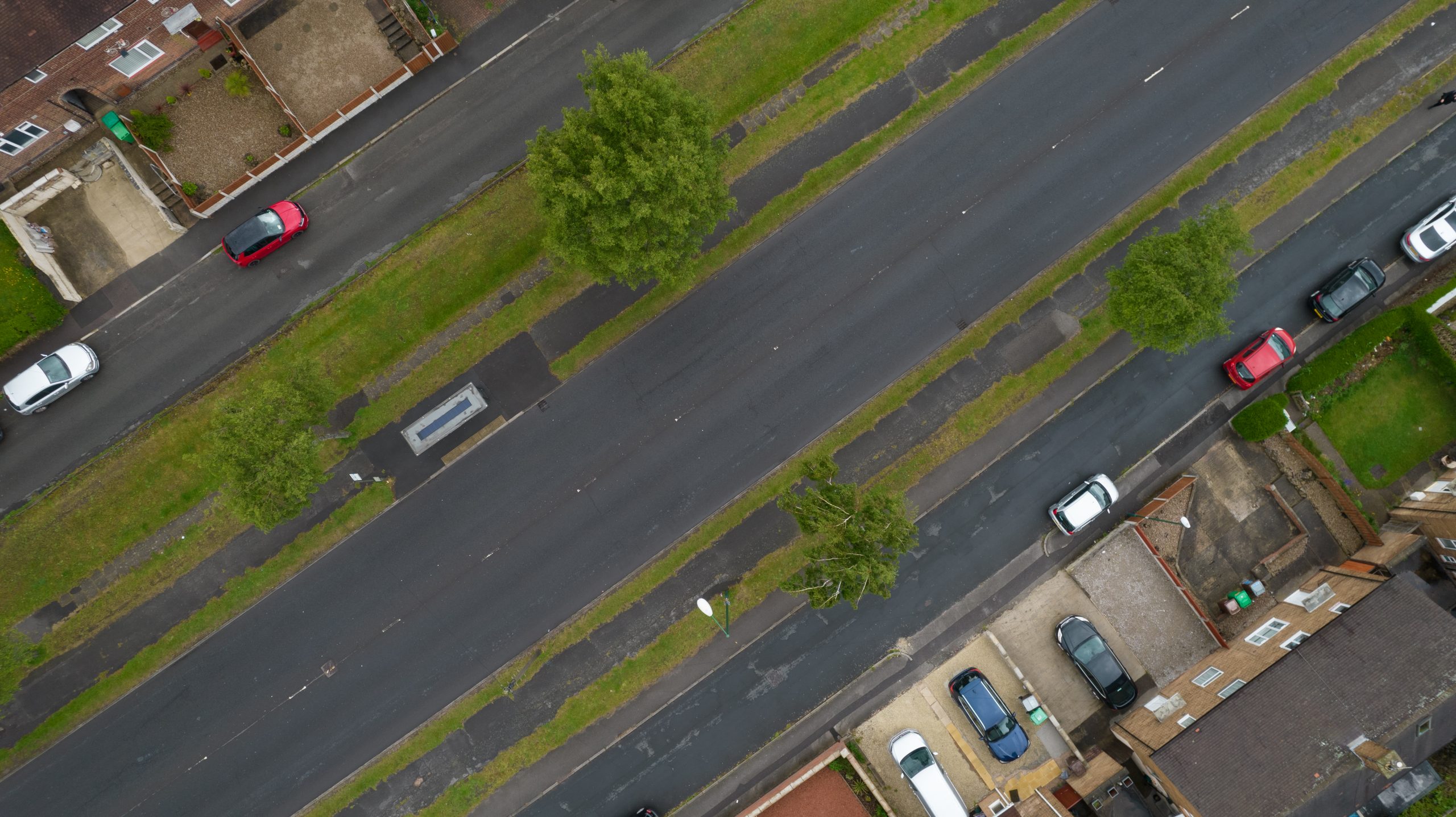
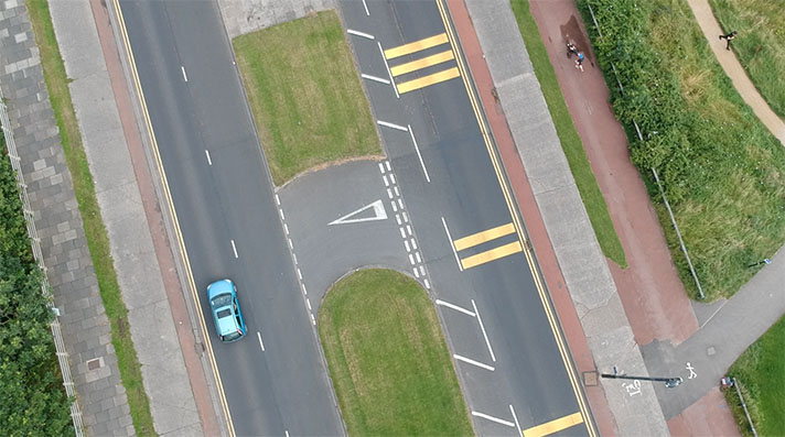
Arnold Road’s double-sided cycle tracks.
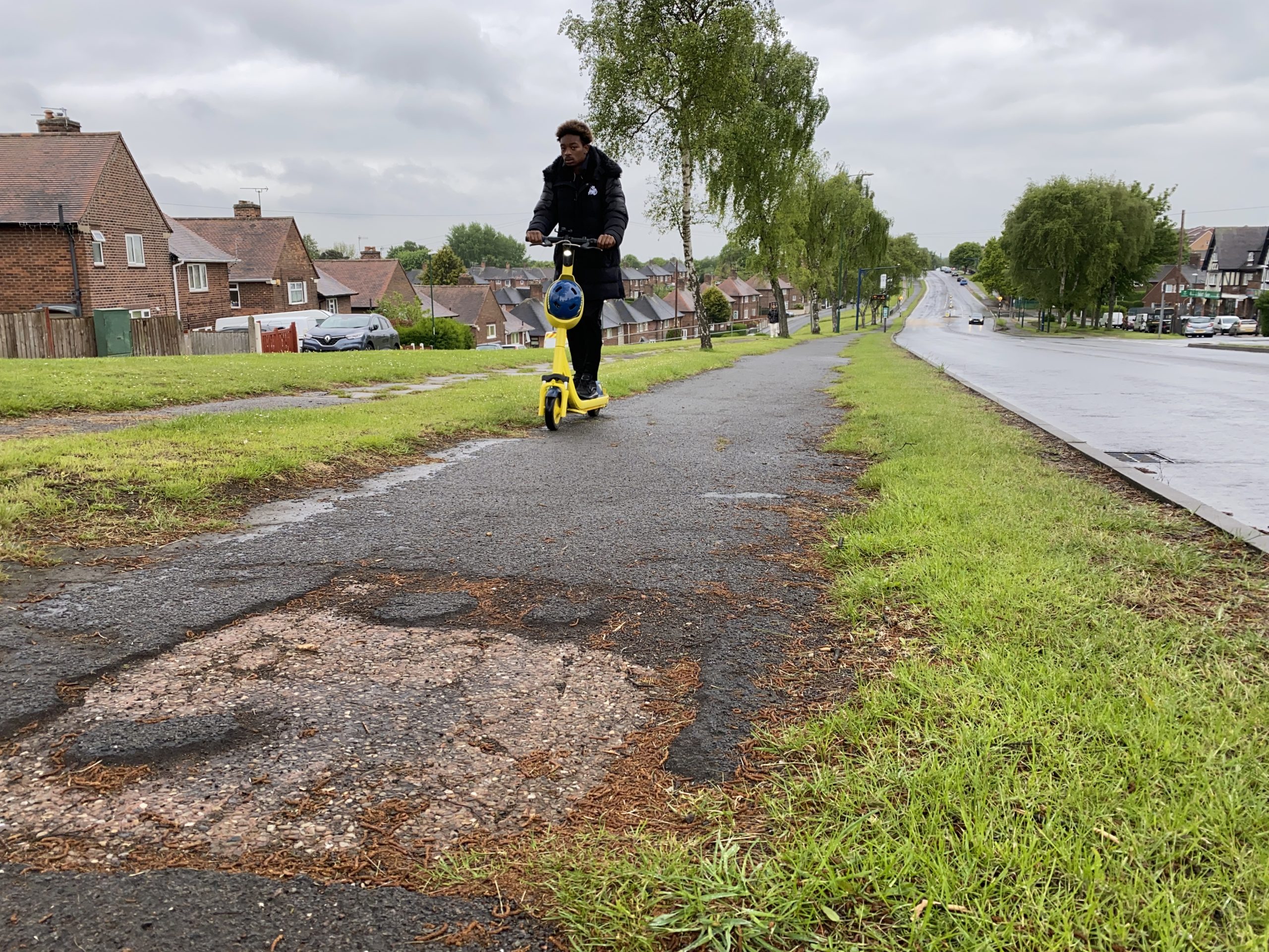
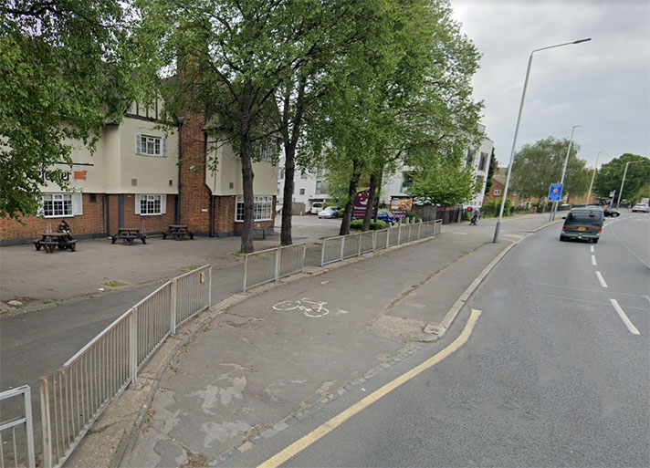
Arnold Road’s cycle tracks are crumbling in places, with pink-tinged asphalt and concrete poking through.

Cycle tracks on both sides of Arnold Road in Nottingham, along with adjacent footways.

NOTES

Nottingham City Council’s Insight Mapping ... http://info.nottinghamcity.gov.uk/insightmapping/#

Explore the tracks