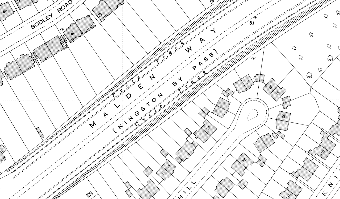
Large-scale OS mapping showing “Cycle Track” both sides of Kingston Bypass, 1954.
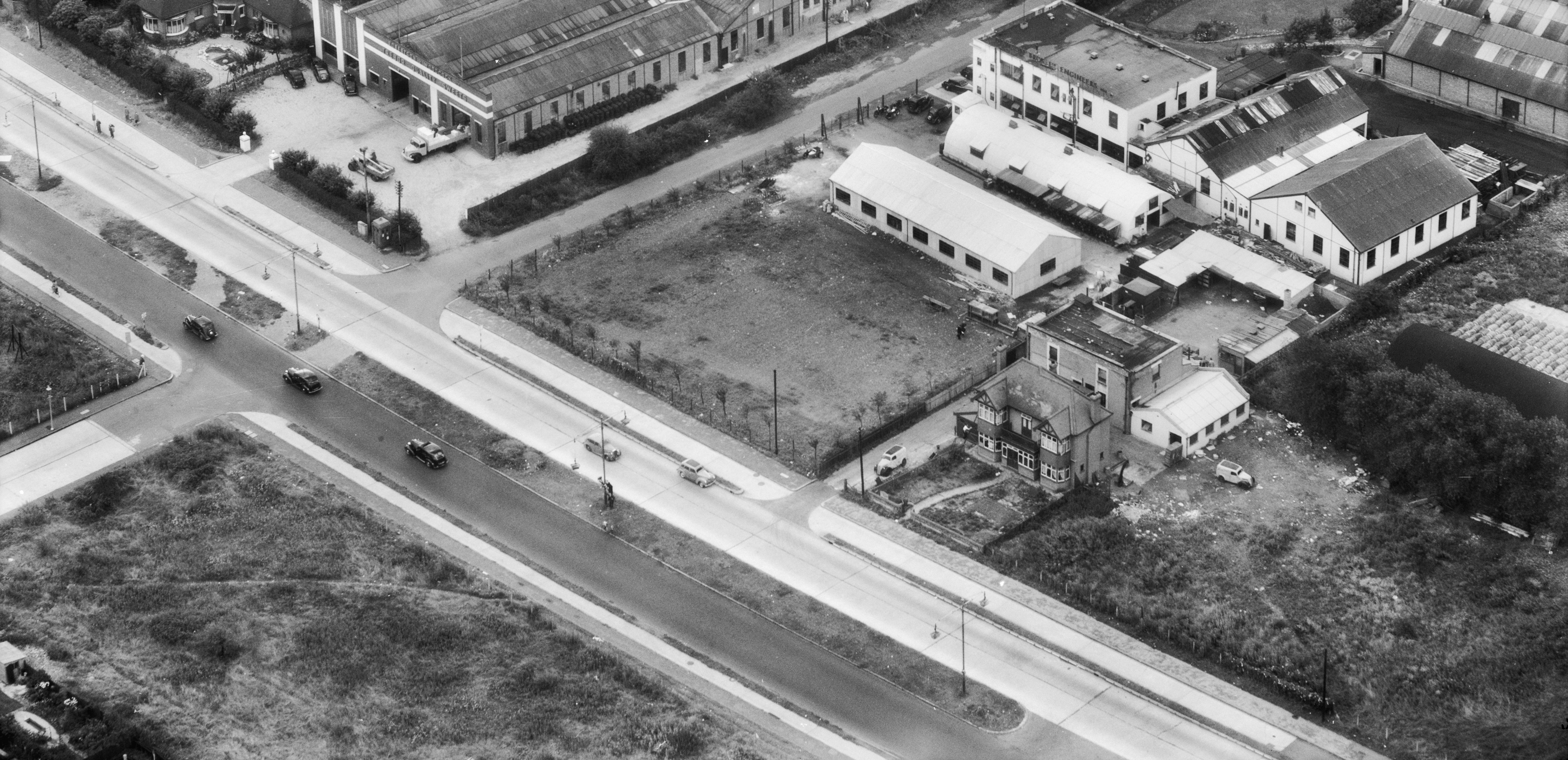
Remodelling, including widenings and the addition of flyovers, has obliterated whatever, by the 1960s, remained of the original Kingston Bypass, opened by Prime Minister Stanley Baldwin on 30 November 1927.
The cycle tracks on a one-mile central part of the Kingston Bypass were retrofitted to the road sometime after 1938.
“Kingston by-pass, nine and a half miles long and forming part of the London-Portsmouth road, built between 1923 and 1927 at a cost of £400,000, is out of date now,” reported the Daily Mirror in August 1936, adding that the “new by-pass will have dual carriageways, cycle tracks, and adequate footpaths.”
The newspaper continued: “Work on two sections of the road, totalling nearly two miles and a half, from Burlington-road, Malden, to Ewell-road, Surbiton, and at Manor-road, Hinchley Wood, is to be put in hand immediately.”
Two years later, and according to a local newspaper, the upgrade of the Kington Bypass was subject to a public inquiry. Hugh Jones, divisional road engineer of the Ministry of Transport, told the inquiry that “accommodation roads would be built for the benefit of premises having frontage to the road,” and these “subject to a speed limit, could be used by cyclists.”
(“Accommodation road” was a 19th Century term for what, in the 1930s, became better known as a “service road.”)
“There would be guard rails, dual carriageways, and a central preserve with as few openings as possible,” continued Jones, “and cycle tracks where there are no accommodation roads.”
There are no period reports on the width of the Kingston Bypass cycle tracks.
Cycle tracks are labelled as such on OS 1:1,250 mapping published in the 1950s, showing they were installed on the Malden Way part of the Kingston Bypass, from South Lane to Shannon Corner, a distance 1.5 miles shorter than the originally proposed 2.5 miles. Perhaps it was thought that cyclists would be happy to ride on the new “accommodation roads”?
Despite the fact the public inquiry only took place in June 1938 a journalist wrote in September of that year that this “unhappy highway” now had “triple carriage-ways in both directions and cycle tracks.” It’s likely that the retrofitting wasn’t finished until at least 1939. Either way, the upgraded bypass “seems to have satisfied no one,” opined the journalist, “except the road racing motorist.”


