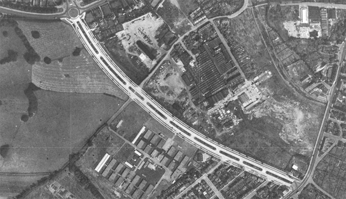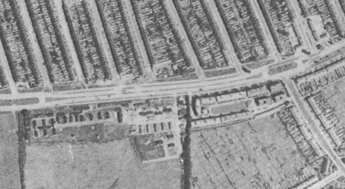
Google Earth’s aerial 1945 layer of Bushey Road.
“Cycle tracks and a dual highway are part of a £15,000 scheme for the improvement of Bushey Road, near Raynes Park, Surrey,” reported the Western Daily Press in September 1935.
Footpaths “will be laid out between the cycle tracks and the new highway boundaries,” added The Times on the same day.
The cycle tracks are clearly defined on Google Earth’s 1945 aerial layer.
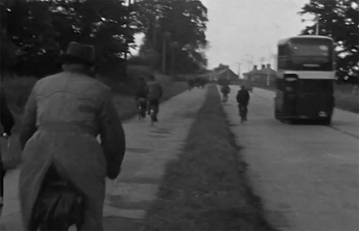
Writing to The Bicycle weekly magazine, W.A. Turner said he spent “many hours at the local track in Bushey Road, Raynes Park and tactfully distribute copies of [a pamphlet agitating against cycle tracks] to potential cycle path users.” Ninety percent of “these cyclists then change their minds and ride on the carriageway instead of the path,” he recounted proudly, urging that the “whole cycling movement should concentrate on … preventing ‘boobs’ from using these tracks by educating them on their folly.”
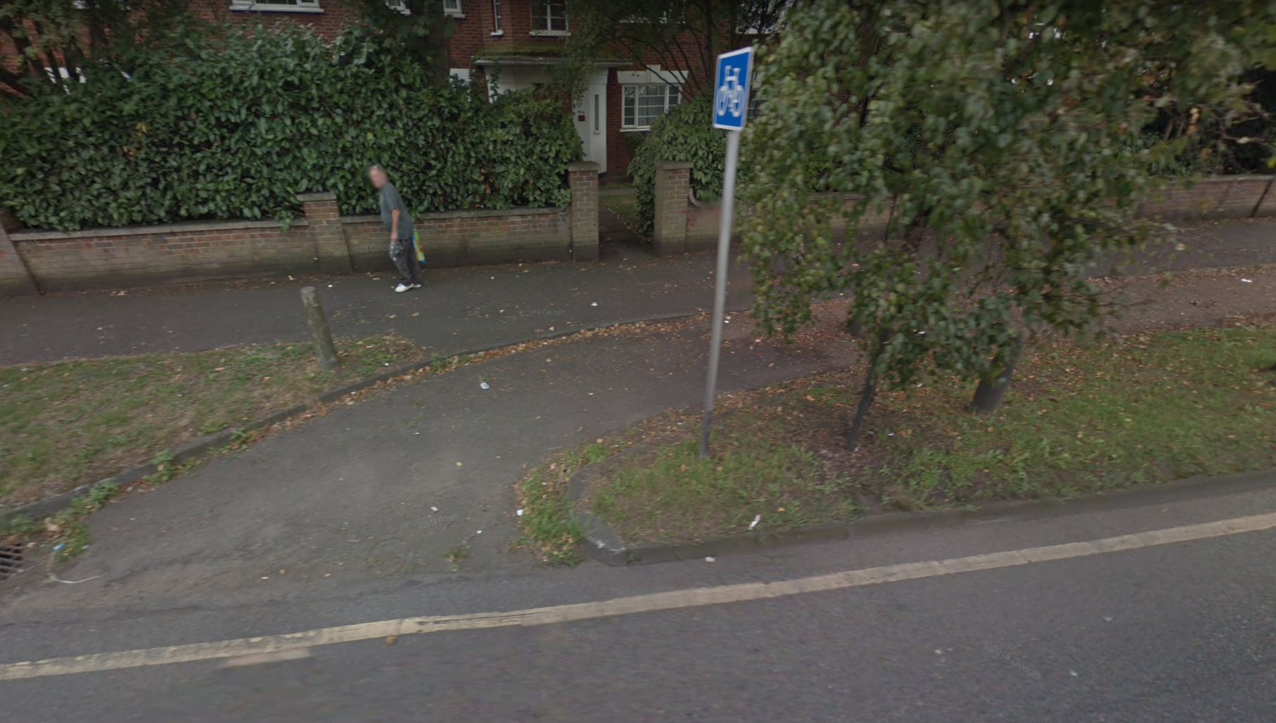
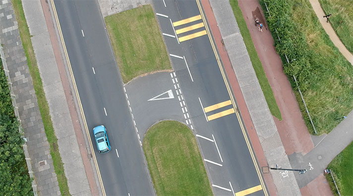
Splayed entrance to Bushey Road cycle track.


