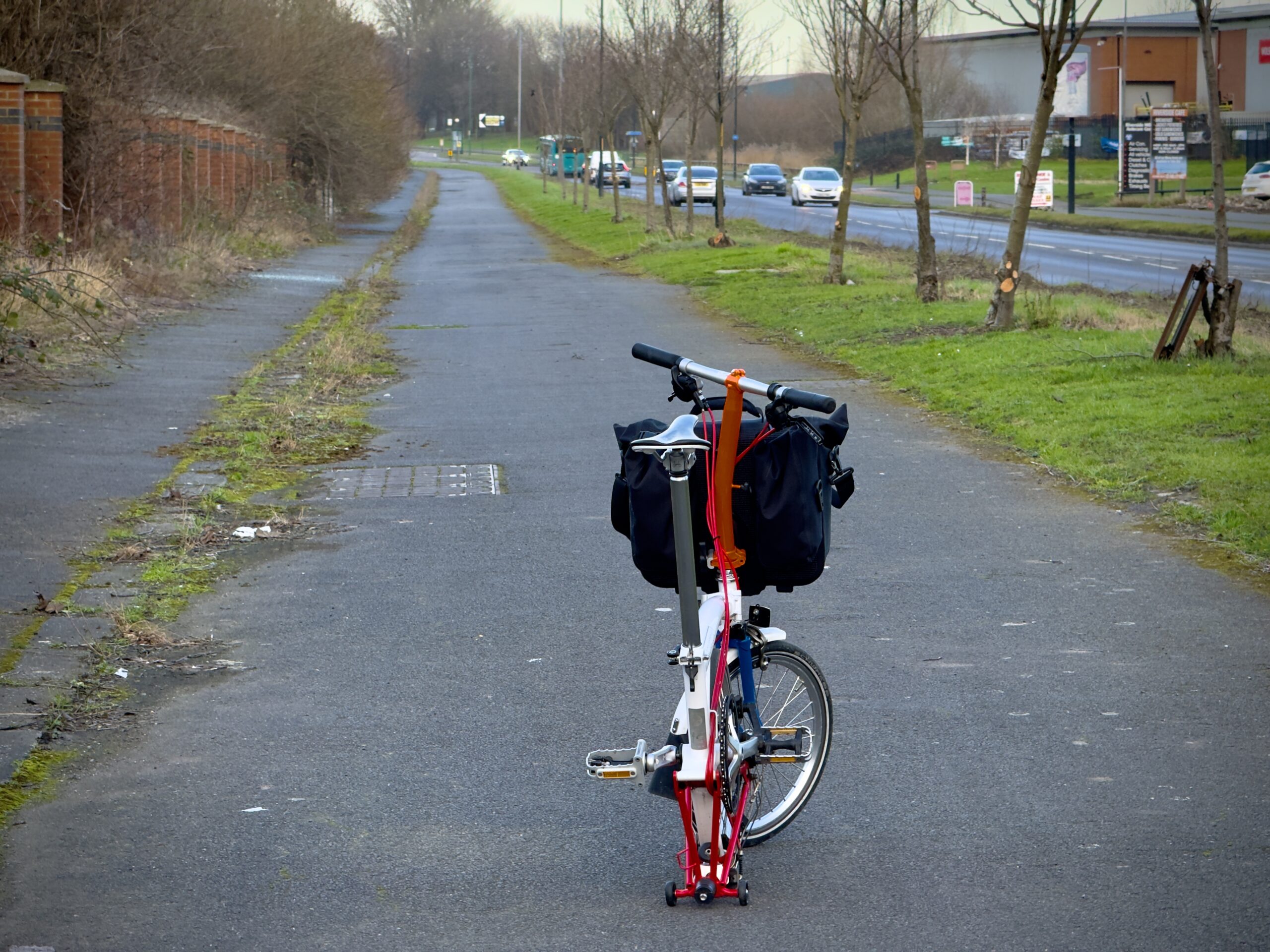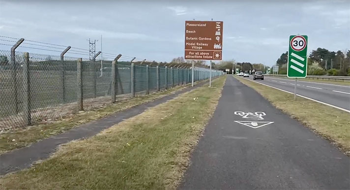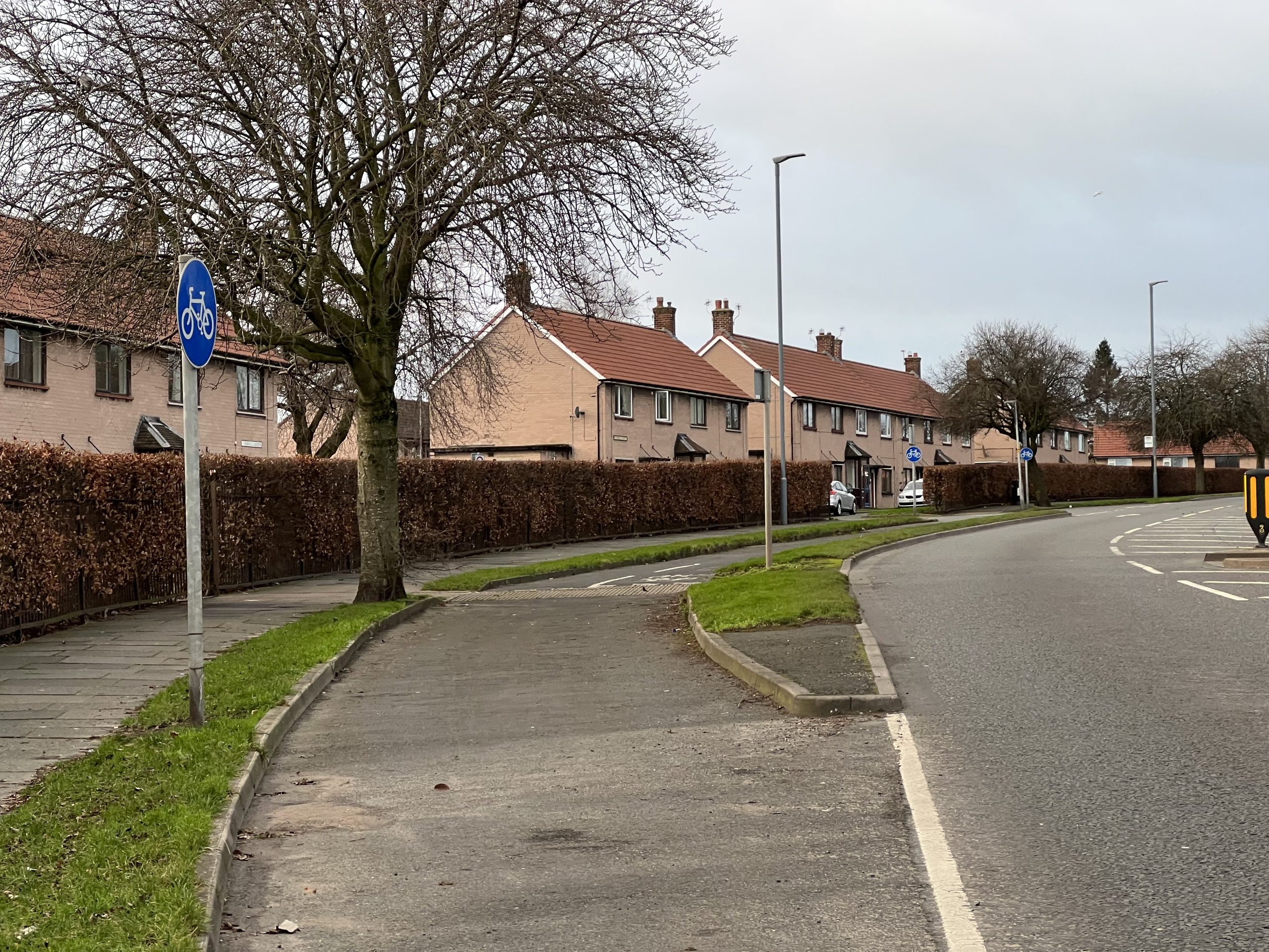
Wide cycle track entrance and adjacent footway on Wigton Road.
The A595 is on the route of the Roman road to the fortified town of Papcastle. The stretch leaving Carlisle is known as Wigton Road and it is surrounded by large municipal interwar housing estates. The road has cycle tracks on both sides. No documentary evidence has yet been found to date these tracks.
However, with curved openings, a parallel cycle track and footway, and concrete strips between the track and the footway, the on-the-ground evidence strongly suggests the scheme dates to the late 1930s. There’s some old red asphalt beneath some later topping which, again, is suggestive of a period cycle track. Unusually, the tracks are 10-ft wide in parts which is surprising because most period cycle tracks were either 9 ft or 6 ft.
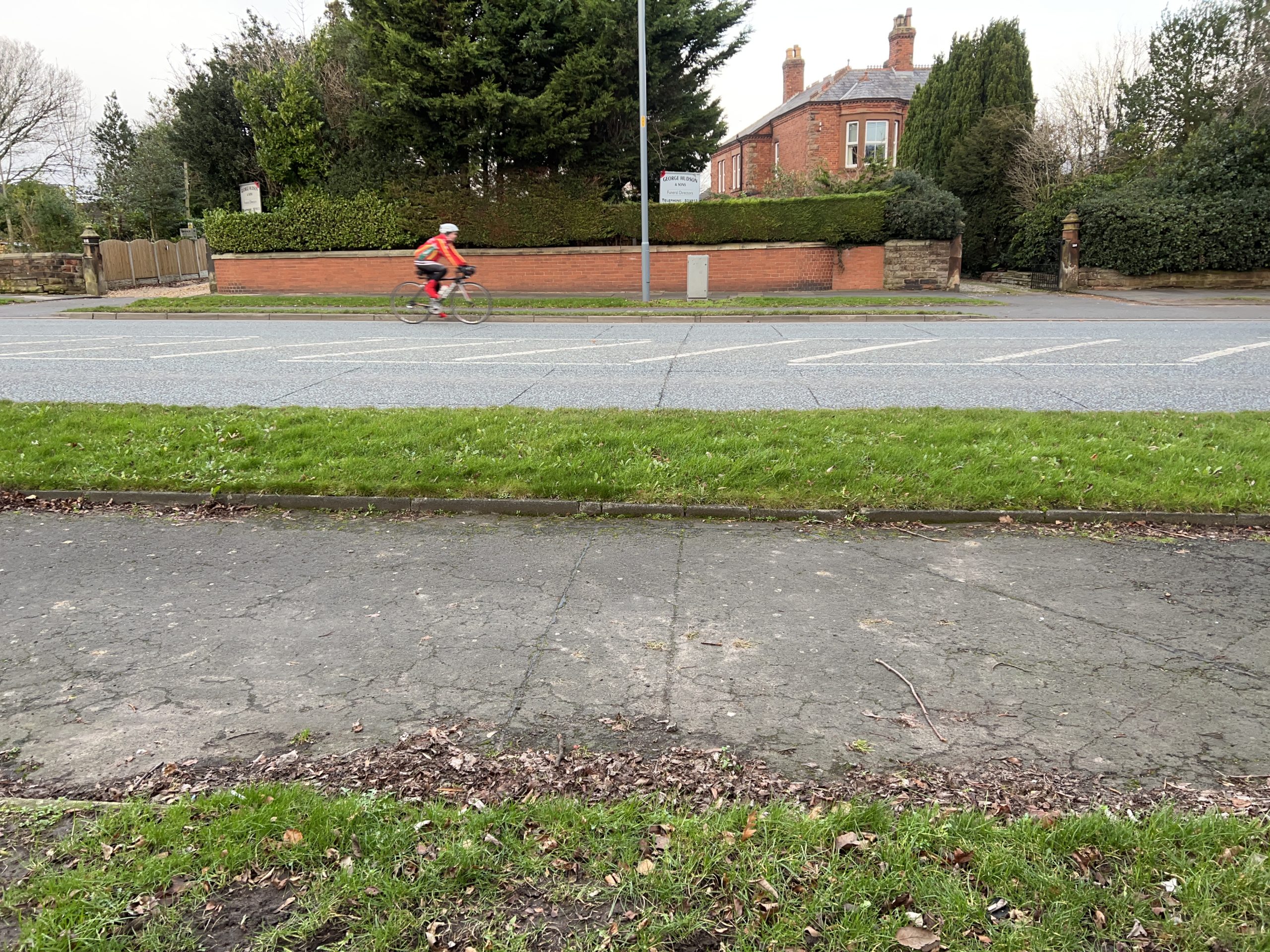
Wigton Road’s cycle track has dislocations so not all cyclists choose to use it.
The cycle tracks extend for a little over a kilometre from a non-period B&M store to a similarly modern Esso garage, and then the route continues on service roads which, again, is typical for the era. That Wigton Road is flanked by municipal housing — with nearby factories — is another signifier that this is a period cycle track. Carlisle claimed to have built more council housing for its size than any town in England in the interwar period, says John Boughton, author of the Municipal Dreams blog and book.
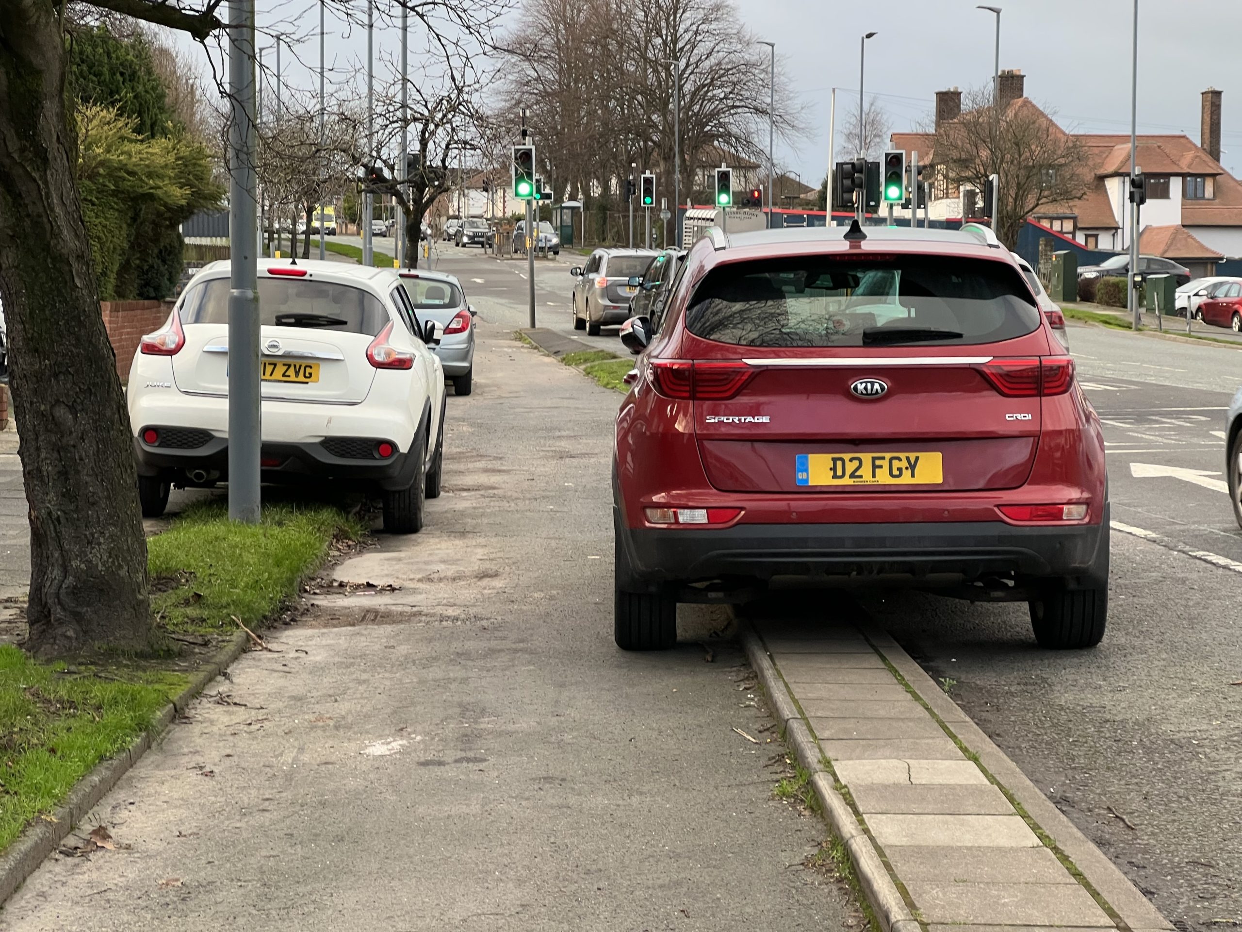
Some motorists park on Wigton Road’s cycle tracks.
Carlisle was a railway town but there was also plenty of work at the Carr’s biscuit factory (with new buildings erected in 1929) and at a nearby RAF maintenance depot. Much of the municipal housing was built in the 1920s and 1930s but there were also additions in the 1940s and 1950s.
Construction of the large Raffles estate beside Wigton Road started in 1926. It had 1,518 homes by 1939. In April 1941 the council produced plans for service roads on Wigton Road and while these plans don’t include details of any cycle tracks it’s probable that they had been added to the road by 1942.


