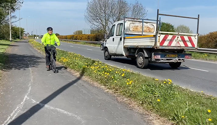
Forge Lane, Bassaleg, Wales

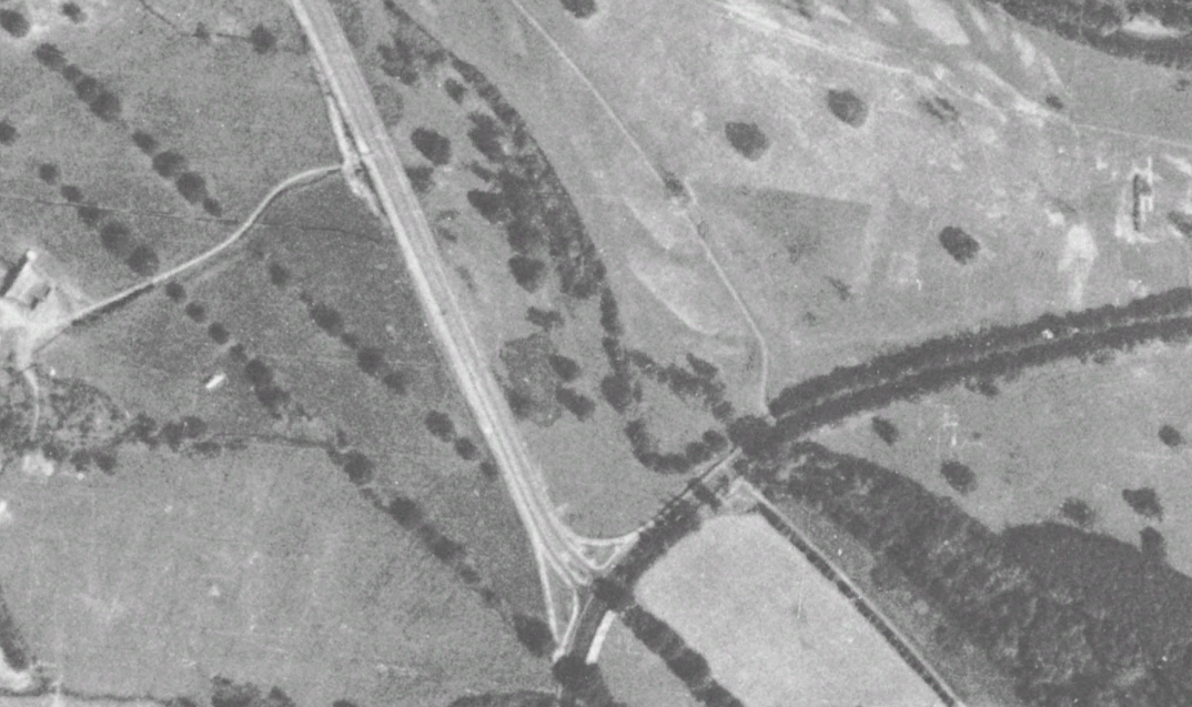
OS 1937-61
Modern Map
Date opened/built:

c. 1939.

Length:

0.89 mile (1.44kms).

Width:

Unknown.

Adjoining footway:

Probably on east side of road.

Road type:

Rural dual carriageway.

Surface:

Modern asphalt.

Both sides of road:

No.

Adjacent to social housing:

No.

Period mapping:

OS Six inch, revised 1930 to 1963, published 1964 https://maps.nls.uk/view/201360058 Hatching, but does not show cycle track.

OpenCycleMap status:

https://www.opencyclemap.org/?zoom=16&lat=51.56524&lon=-3.04031&layers=B0000 Cycleway marked on half of the west side of Forge Lane. Full length of footway on east side not marked.

Sources:

Period maps, newspaper reports, Google Earth 1945 aerial layer.

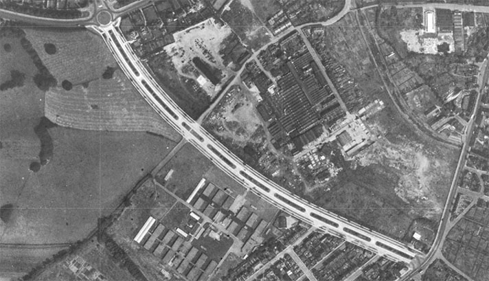
There is a prominent white line on the west side of Forge Lane visible on Google Earth’s 1945 aerial layer — see above — and it’s likely this is the cycle track mentioned in the Western Mail in 1937.

“FORGE LANE (Cardiff Road—Bassaleg Road), … is being reconstructed by Monmouthshire County Council and the Ministry of Labour,” reported the paper, adding that it “will be one of the first roads in Wales to have cycle tracks and dual carriageways.”

NOTES

“FORGE LANE (Cardiff Road ... Western Mail, 13 August 1937.

Explore the tracks