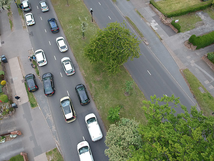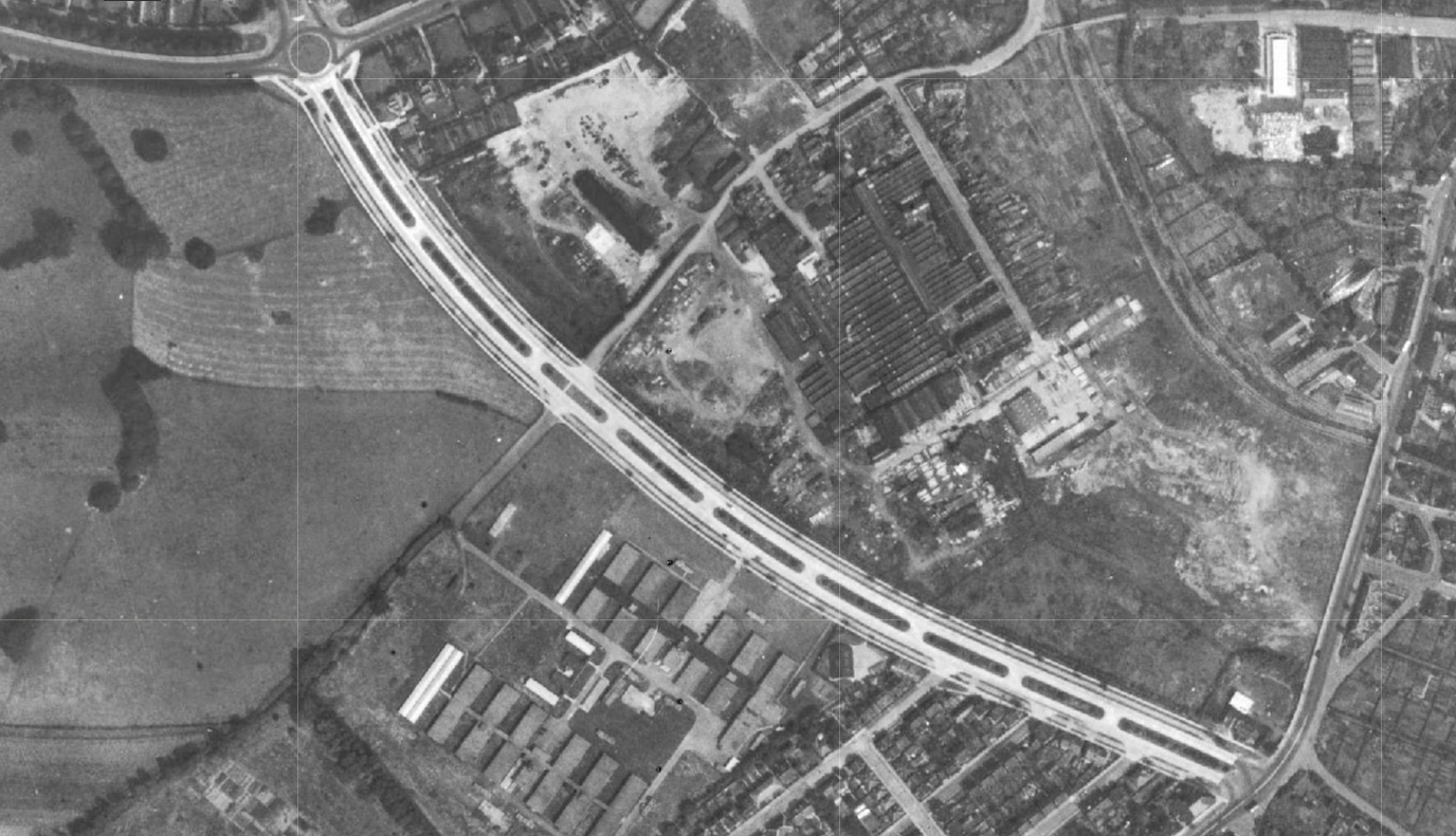
Footways and cycle tracks are plain to see on this 1940s aerial photograph of Clifton Boulevard’s new dual carriageway. Credit: Nottingham City Council Insight Mapping.
Clifton Boulevard is an eight-lane urban motorway in all but designation. Today it has central flyover sections and cloverleaf intersections built (and rebuilt) in the 1980s and 1990s. However, when opened in 1938 as part of a modernist dual carriageway ring road Clifton Boulevard looked very different, with central planters, footways and cycle tracks.
The Boulevard is one stretch of the A52/A6514 western bypass of Nottingham city centre and rolls into Middleton Boulevard which then rolls into Western Boulevard before joining the A60 heading north.
Nottingham started building wide “boulevards” in the 1880s.
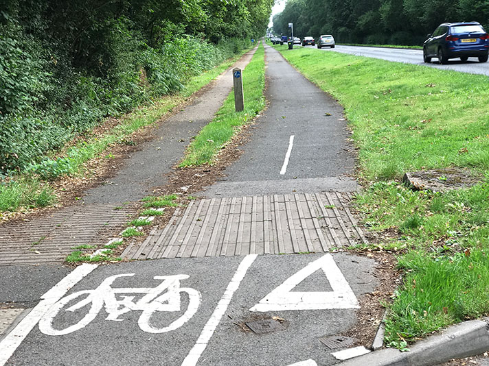
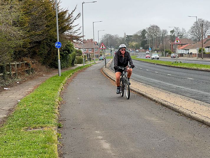
The cycle tracks and footways on Clifton Boulevard — seen in a Nottingham City Council aerial photo taken in 1967 — have disappeared under later road widenings. Today’s shared-use path is modern.
When newly built, Clifton Boulevard extended for 730 metres from Derby Road to Abbey Street, with the concrete shining white on the 1940s aerial photo layer of Nottingham City Council’s online Insight mapping. The boulevard was extended in the 1950s with the Clifton bridge erected over the Trent. The 275ft bridge (now the eastern half of the bridge) was opened in 1958, complete with cycle tracks. The bridge was widened to dual-carriageway in 1972.
Clifton Boulevard was marked on a 1950s OS map as Abbey Boulevard.
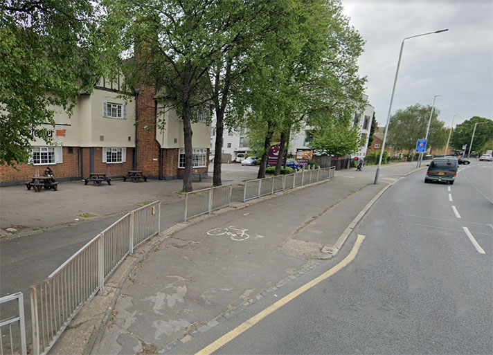
The cycle tracks on Middleton Boulevard (opened in 1928) were retrofits; the cycle tracks on Clifton Boulevard were not. (Western Boulevard, opened in 1932, has wide, shared use paths today — these were originally footways not retrofitted cycle tracks.)
Clifton Boulevard was extended towards the village of Clifton in the 1950s requiring another bridge over the River Trent. Clifton Vale, built after 1950, was at the time the largest municipal housing estate in England.
“Clifton Bridge was completed in 1958 to serve as the link between the corporation’s Clifton Estate and the city centre,” reported a trade journal in 1963, stating that the bridge was equipped with a cycle tracks. “There is already a two-way cycle track from the south side of Clifton Bridge to the Clifton Estate,” added the journal. This cycle track is extant, and still crosses the bridge.
A second parallel bridge — with four lanes — was added in 1972, but this time without cycle tracks.
According to the Nottingham Evening Post in 1937, the “first highway to incorporate separate cycle tracks [in Nottingham] on each side is now in course of construction, and considerable progress has been made.”
This was on Middleton Boulevard. “It is anticipated that the present section … may be completed by next summer, and the distance from Dunkirk to Mansfield-road, via Western-boulevard and Valley-road will be five miles,” reported the newspaper.
“The special cycle tracks,” the Post added, “will be 9ft wide, and will be separated from the footpaths and carriageways by grass strips 5ft 6ins wide. Footpaths will be 10ft wide, and the dual carriageways 20ft in width, divided by a central grass plot of similar dimensions.”
A 1938 newspaper report said the cycle tracks on Middleton Boulevard were also 10-ft wide. It’s likely that both newspaper reports were wrong and that the footpaths and the cycle tracks were 9-ft wide. The building of the road in 1927 and the width of the footpaths and the cycle tracks in situ in 1965 can be seen in period photographs.
The cycle tracks were surfaced with “Tarpaving,” said an MoT letter in 1937. Planning for the cycle tracks on the upgrade for Middleton Boulevard had started in 1935.
“Cycling tracks had been considered,” said an unnamed speaker at a highways committee meeting in February of that year.
“Before we embark on anything of the sort we are waiting to hear the opinions of other councils,” continued the speaker, likely to have been chairman Major T. P. Barber.
While the cycle tracks and footways of Clifton Boulevard are bold and unmistakable on the city council’s 1940s aerial photography they are much less distinct on Middleton Boulevard, probably because they were retrofits.
Clifton, Middleton and Western Boulevards — an outer ring road, really — were surrounded by municipal housing estates. Between the wars 17,095 council houses were built in Nottingham which was considered among the largest and the fastest builders of council housing in the UK.
Residents of these houses could have cycled to and from work on the period cycle tracks, accessing major employers such as Boots, Raleigh, and the cigarette maker Players.


