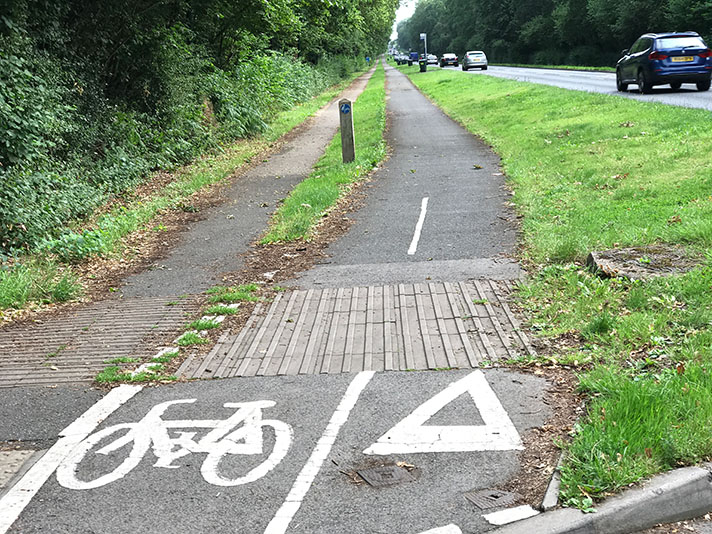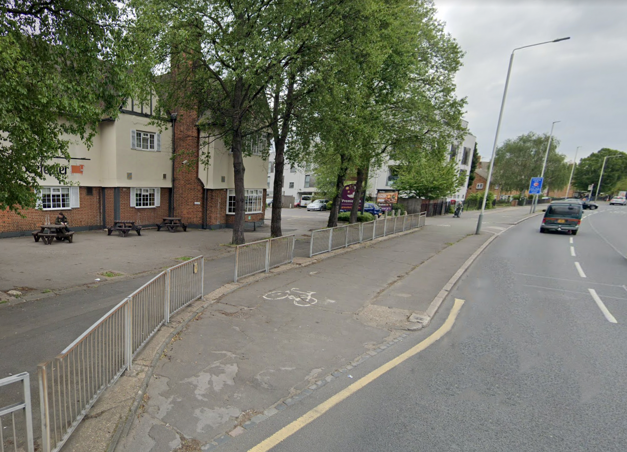
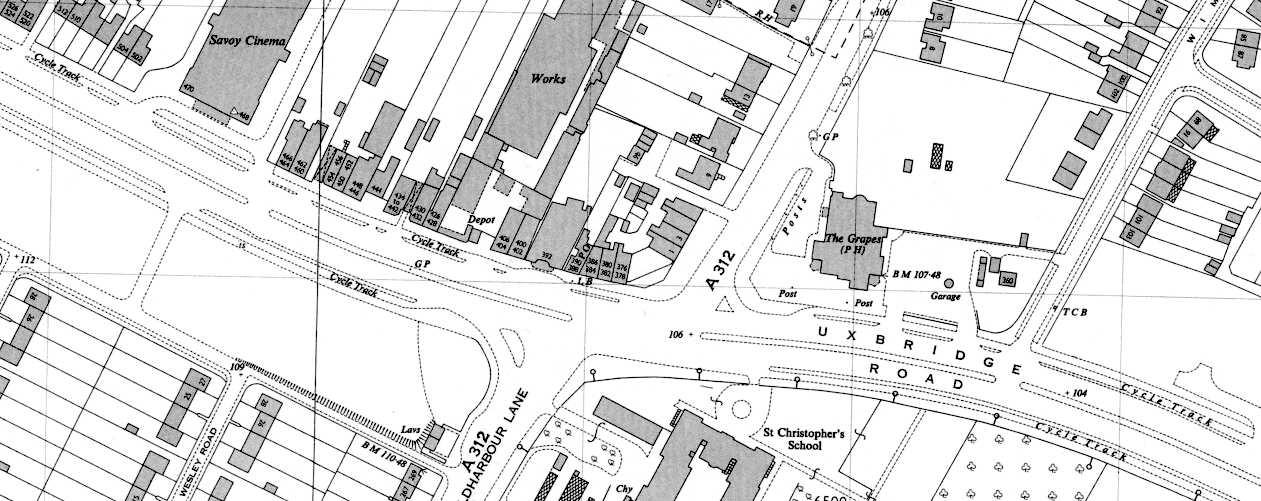
Splayed cycle track entrance outside the Grapes pub on Uxbridge Road, Hayes. The pub — and the cycle track — can be seen on the period map below.
Until the building of the Western Avenue arterial to the north of Southall, starting in 1921, Uxbridge Road was the historic route from London to Oxford. There are two sections of period cycle tracks on Uxbridge Road. The first section is in Southall, in the London Borough of Ealing, and runs for 300 metres from almost Milford Road to opposite Holy Trinity Church, on the corner of Park View Road. This features period concrete and is kerb-protected on both sides of the road.
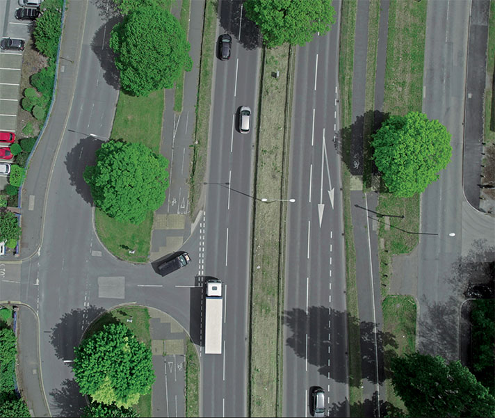
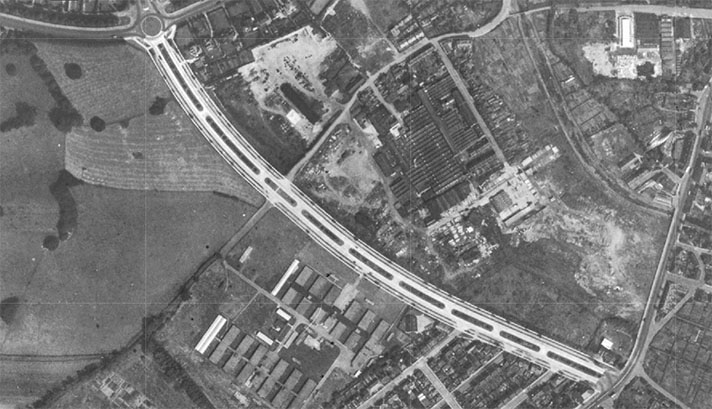
The longer section through Hayes, in the London Borough of Hillingdon, runs from close to Longford Gardens to almost Hayes End Road. It appears modern, but that’s because it has been remodelled and resurfaced. Part of the period cycle track, on both sides of the road, was obliterated by a roundabout and the A312 Parkway, which opened in 1992.
“A new lay-out consisting of dual carriageways, cycle tracks, and footpaths has been adopted for the London-Oxford road at Hayes, Middlesex,” said a newspaper report of June 1937.
“The lay-out, which will extend for a distance of nearly mile and a third, will necessitate the widening of the road to 110 feet,” continued the report, adding that “for the benefit of the large number of pedal cyclists who use their machines to go to their work at the factories in the district the cycle tracks will be constructed to the maximum width of nine feet.”
On the OS 25 inch large scale map of Hayes, published in 1946, these factories, close to where the road crossed the Grand Union Canal, included a tyre factory, a joinery, a sheet metal works, a large bakery, a cardboard cases factory and a substantial brickworks.
Period mapping and on-the-ground research suggest that the cycle tracks at Hayes extended for two miles rather than one and a bit.
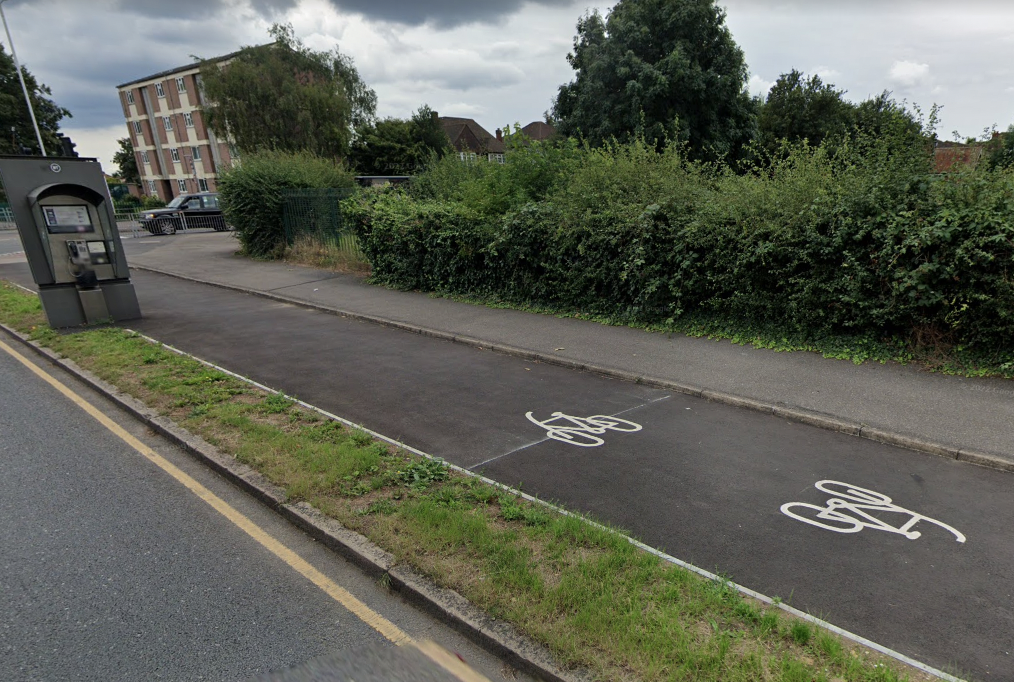
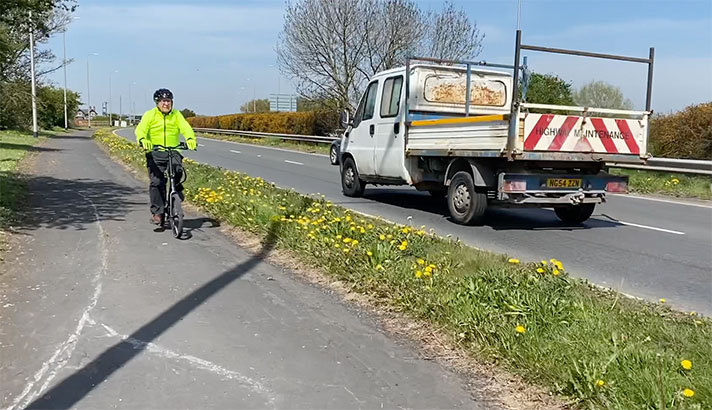
1930s-era cycle track in Hayes has been resurfaced and looks modern.
In 1976, 517 local cyclists presented a petition to Greater London Council asking for a “ban on parking on the [Hayes] track.” The GLC acceded to their wishes, saying in a press release that the “order will be the first of its kind for non-trunk roads in London.”
Interestingly, it didn’t appear that the GLC knew about the age of the track that it was defending. The press release described it as “about 1.75 miles long … It is purpose-built and separated from the roadway.”
The Rev. David Mason, chairman of GLC’s West Area Board, was quoted in the press release saying that “this pioneer measure fits in with the GLC’s policy of encouraging cycling in London. Signs will be erected to ensure that both cyclists and motorists are aware of the ban.”


