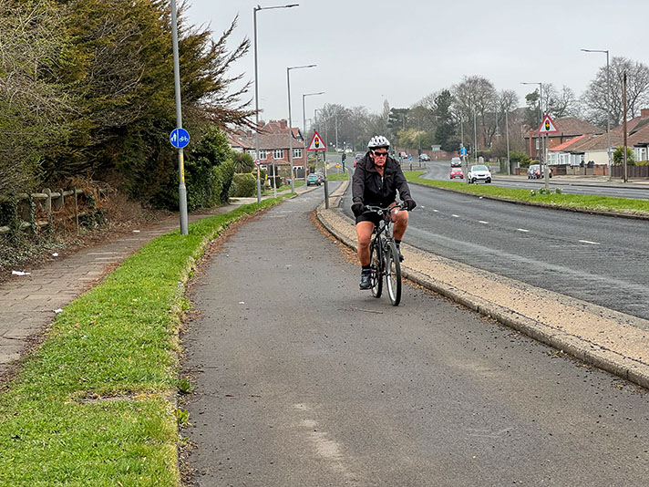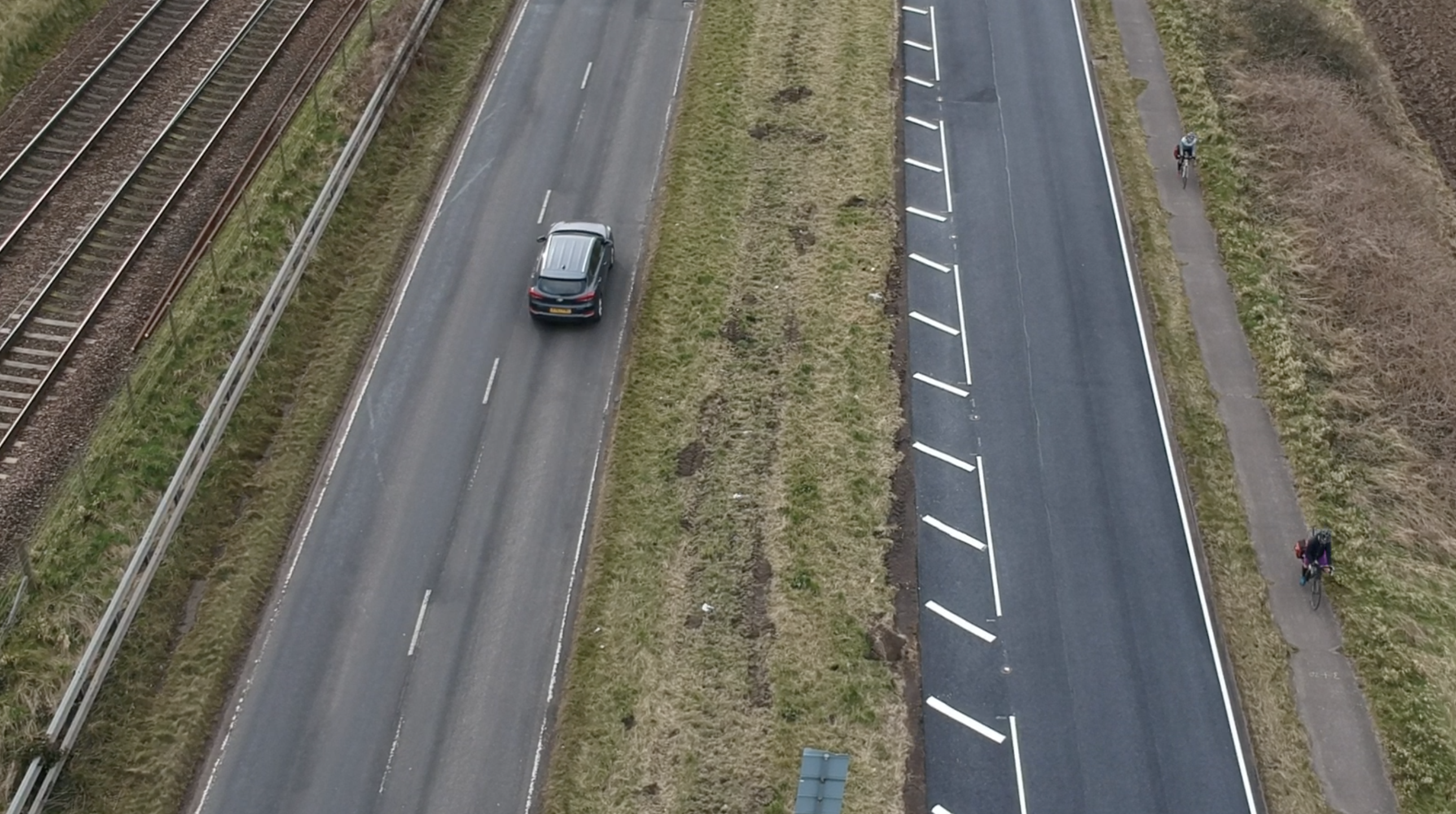
Drone photograph showing cyclists on Longniddry track.
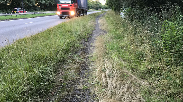
There were two cycle tracks installed on the Longniddry road but only one is visible today. The other, next to the East Coast Main Line rail track, is buried under turf and truncated by an Armco crash barrier. Only part of the visible track is marked as a cycleway on OpenCycleMap.
Installed in 1938, the Longniddry tracks were used as a surfacing testbed by the Ministry of Transport.
The cycle tracks were split into zones, with different surfaces for each zone — different as in thick or thin concrete, or concrete with an asphalt layer on top. The idea was probably for the surfacing materials to be checked after a year of use, but the outbreak of WWII halted the evaluation.
The MoT’s Road Research Laboratory went back to the tracks in 1946. Working with the Cement and Concrete Association, the MoT examined how each of the surface treatments had fared in the intervening years.
The survey provided a plan of how the tracks looked in 1946. They were 6-ft wide and were separated from the road by 3-ft of grass and a kerb. A 6-ft sward of grass then separated the cycle track from a 6-ft-wide footpath surfaced with ash. The footpath is now buried.

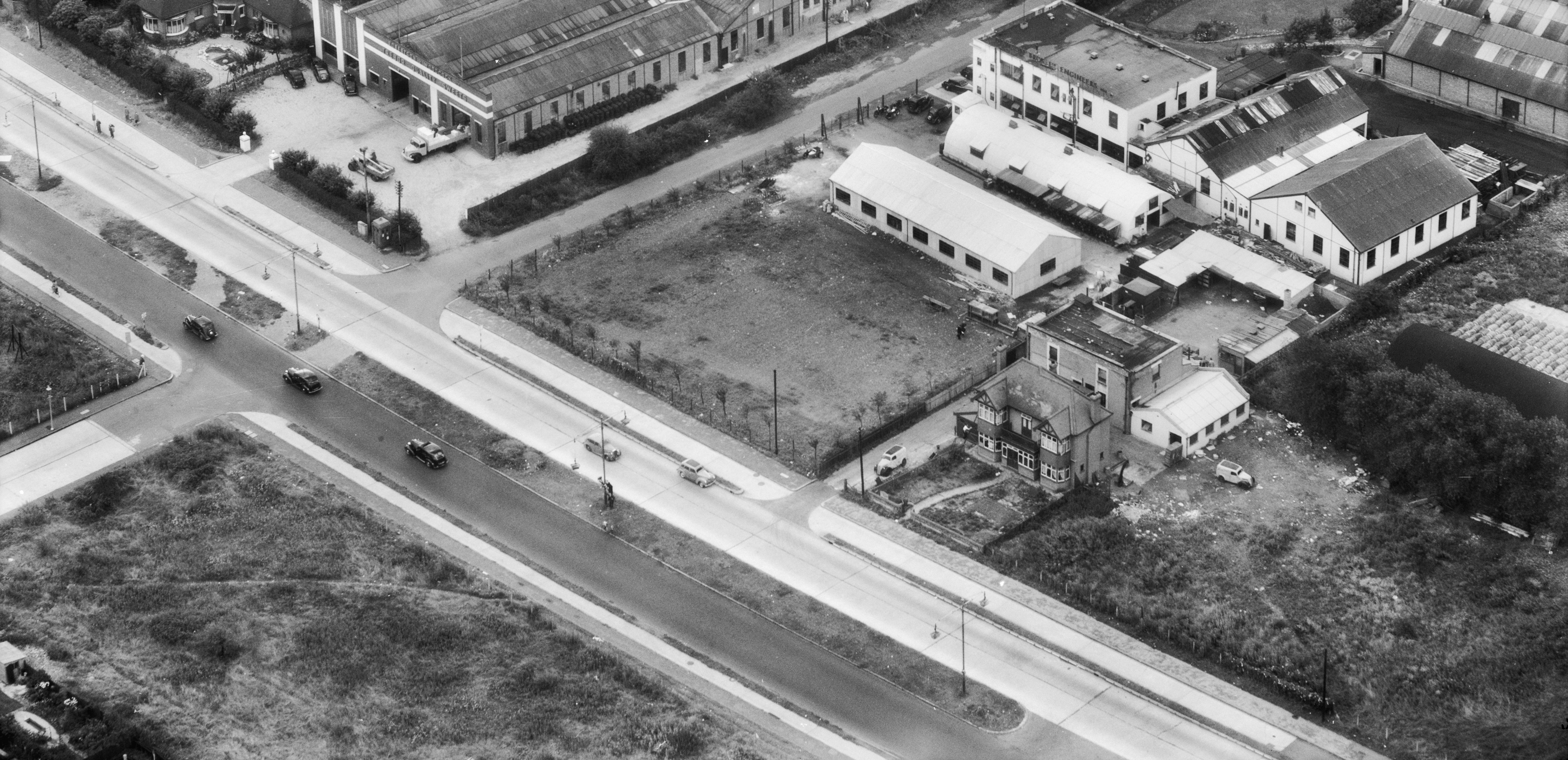
1940s aerial photo of Longniddry shows cycle tracks picked out in white.
The cycle track was “divided up into 5 lengths of different types of construction … [of at least 600 ft each],” said the 1946 survey. One was 3-inch-thick of unreinforced concrete, another was 2-inch-thick of reinforced concrete, a third was concrete covered with an “asphalt carpet.”
According to the survey the “sections are numbered 1 to 5 starting at the East end of the track nearest Longniddry and working westwards towards Edinburgh.”
Cyclists don’t tend to damage road surfaces with their passing. “The general appearance of the all-concrete length is much the same as when the job was finished,” concluded the survey.
“There is no evidence of wear nor are there any defective sections.”
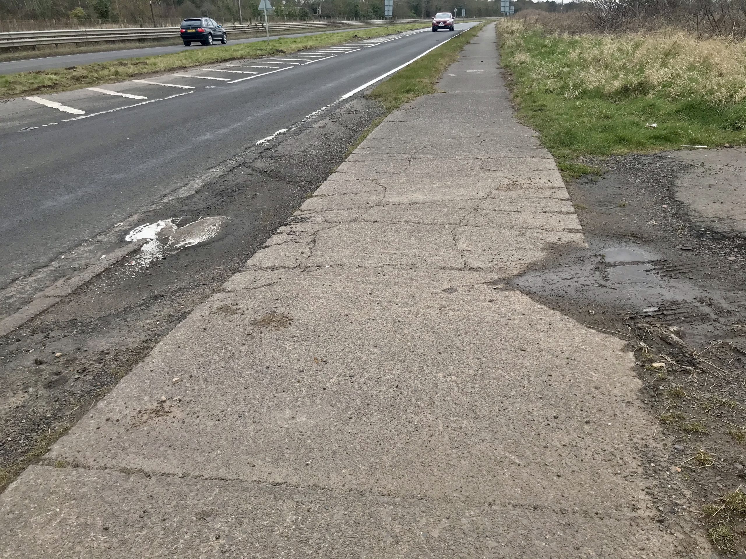
Cracked concrete caused by farm vehicles.
The concrete had neither been damaged by heat or cold. “There is only one contraction crack and that is in a 2.5 inch thick reinforced slab,” reported the survey.
However, the zone capped with asphalt was “showing signs of perishing, the aggregate being very much exposed and some places frittering away.”
Today the track is cracked in places, and it seems that these cracks were also present in 1946. The cracks were not caused by cyclists.
“There are two corner breaks … opposite an entrance to a field,” stated the survey, with the damage “almost certainly caused by farm vehicles.”


