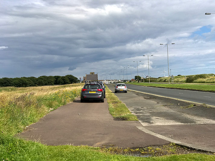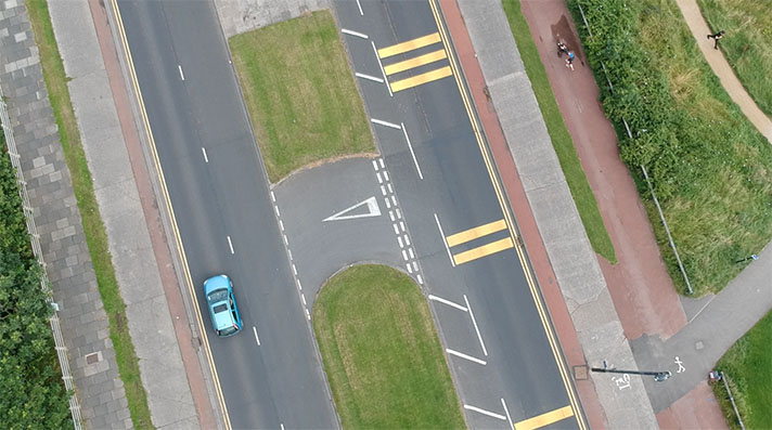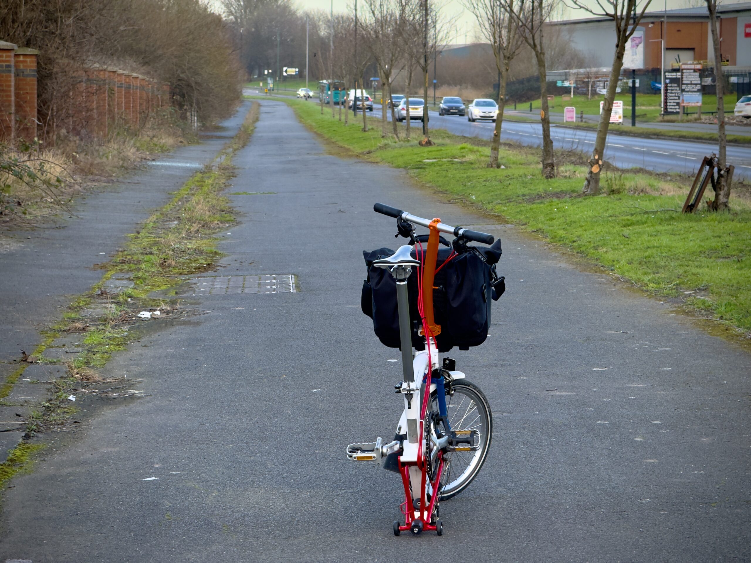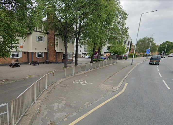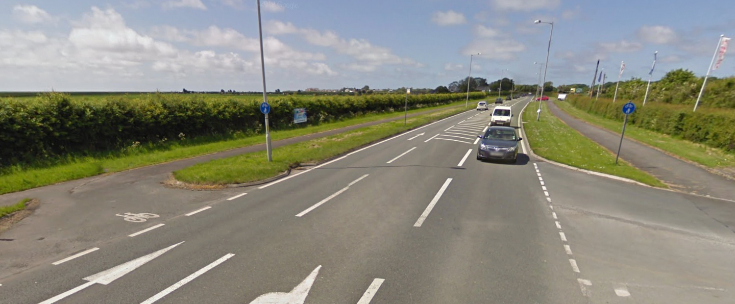
Cycle tracks end at Brook Bridge.
Preston New Road — from Lytham St Annes to Brook Bridge — was widened in 1930 and then retrofitted with cycle tracks five or so years later.
The Halifax Evening Courier reported in November 1935 that there would be “provision of cycle tracks on the last stage of the journey from Preston to Lytham St. Annes.”
These tracks, continued the newspaper, “will be nearly a mile long, extending from the boundary of Lytham St. Annes to Brook Bridge.”
The newspaper added that “footpaths will be constructed on either side of the road” but there’s no evidence for their addition either on the ground or on period large scale mapping.
“This work, which is to be begun immediately,” said the newspaper, “will probably take about 18 months to complete.”
If that was the case the cycle tracks would have been in operation by the end of 1937.
There’s no documentary evidence for cycle tracks further along on Preston New Road but east of Freckleton there are sporadic slithers of asphalt, some behind trees, which might be period cycle tracks or they could be period footways.


