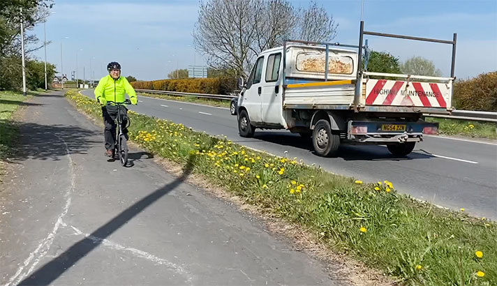
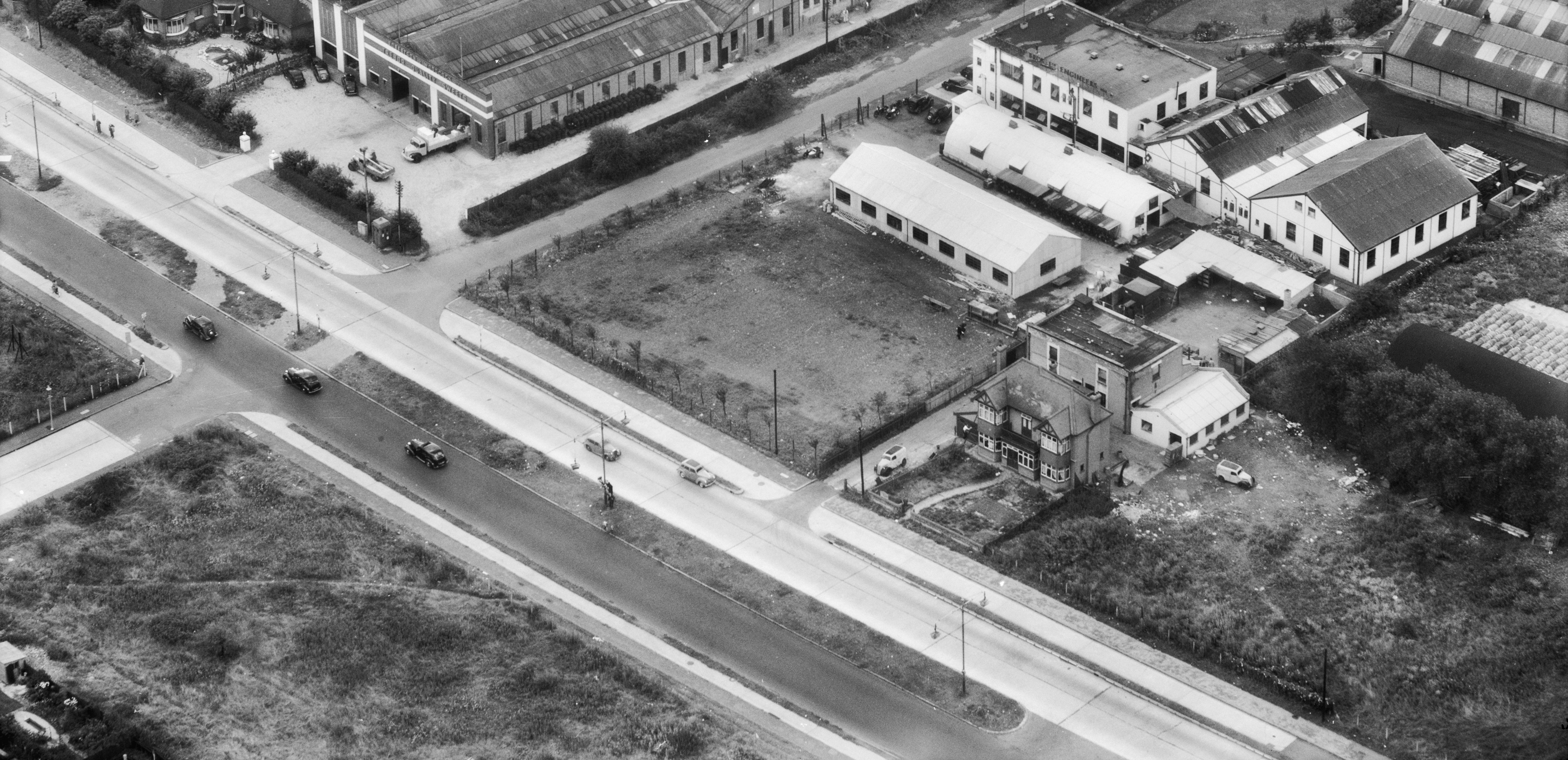
Barnet Bypass, A1

OS 1937-61
Modern Map
Date opened/built:

1939.

Length:

At least 1 mile, probably 3 miles.

Width:

9ft (2.74m).

Adjoining footway:

Yes, but no longer visible.

Road type:

Urban dual carriageway.

Surface:

Modern asphalt.

Both sides of road:

Yes.

Adjacent to social housing:

No.

Start:
OpenCycleMap status:

Marked as cycleway for short stretch only, near Hilltop gardens: https://maps.nls.uk/geo/explore/#zoom=18&lat=51.59190&lon=-0.21170&layers=170&b=1; the cycle track at Swanland Road is marked as cycleway for a short length: https://www.opencyclemap.org/?zoom=15&lat=51.69861&lon=-0.21712&layers=B0000

Sources:

Newspaper reports, Hansard, Ministry of Transport archives.

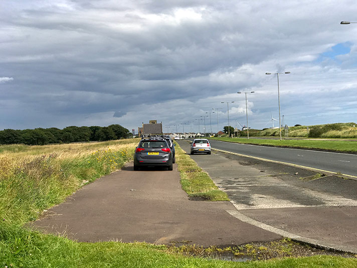
One carriageway of the old Barnet bypass still exists next to the A1(M), near South Mimms service station. There is a shared use path to one side of the old road, and this is probably a 1930s cycle track.

The Barnet bypass, part of the A1 “Great North Road,” was opened in 1927 and retrofitted with cycle tracks eleven years later.

Apart from a narrowing on Dollis and Bunns Lane bridges “it would be possible to construct cycle tracks along the whole of the length to the north of the North Circular Road,” wrote the Ministry of Transport’s divisional engineer to the chief engineer in 1937.

“This is a road where we should most certainly provide cycle tracks,” added the engineer, but he stressed: “It is questionable, and experience will prove if we are correct in constructing cycle tracks along the built-up portions of existing arterial roads.”

It’s unclear whether tracks were laid on both sides of the road.

“We can construct one cycle track in its permanent position and a temporary track on the opposite side of the road,” suggested the MoT engineer.
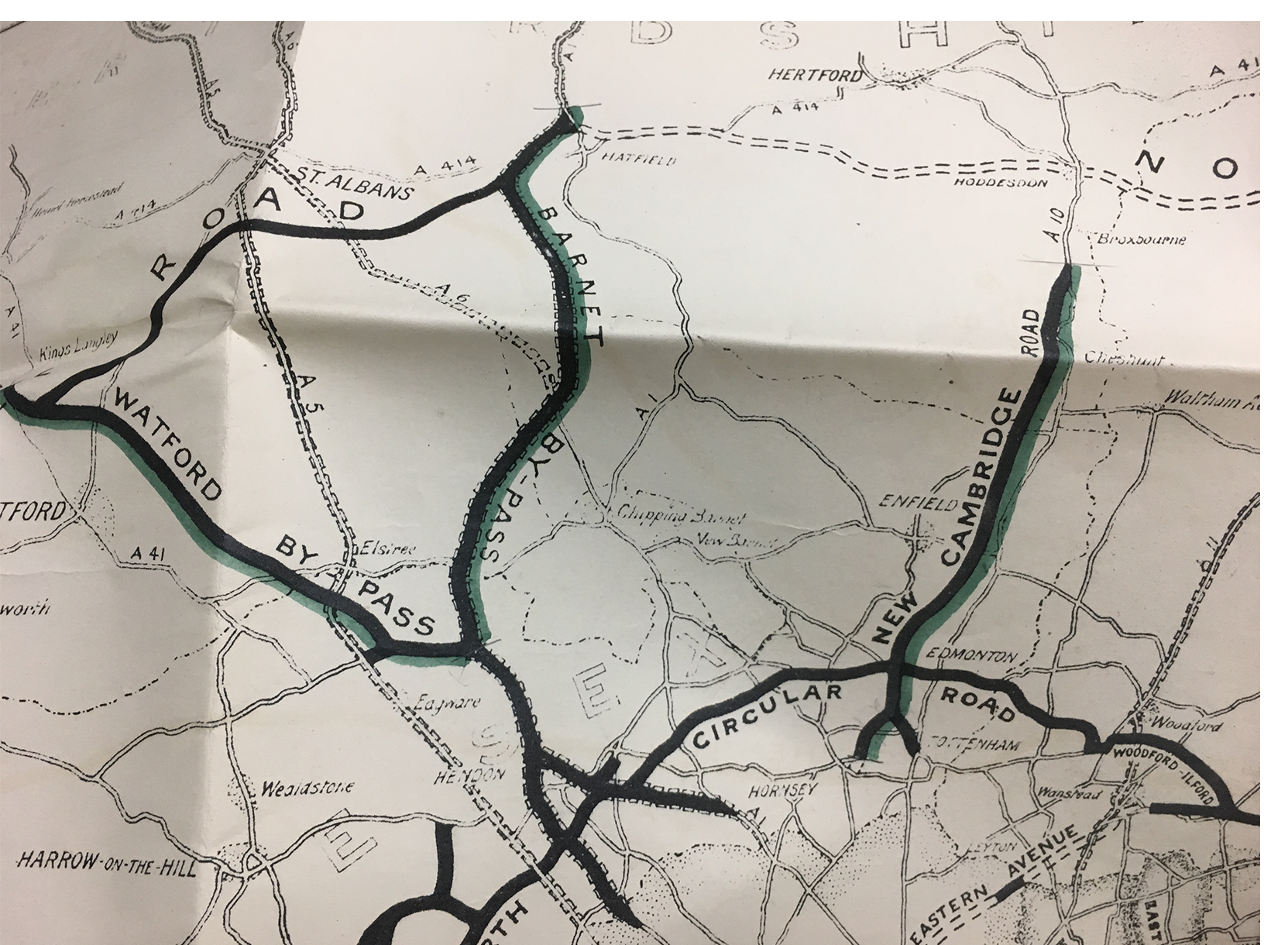
Ministry of Transport map of completed road schemes, 1937. Green piping marks where cycle tracks were also added.

In 1939, the Sleaford Gazette reported that the Barnet bypass was “being rebuilt with a 44ft. carriageway divided with central refuges and cycle tracks.” In the same year the Peterborough Standard said the road at this point — with adjacent cycle tracks — would be three miles in length. (The 1927 version of the bypass was fitted with 10-ft wide footways.)

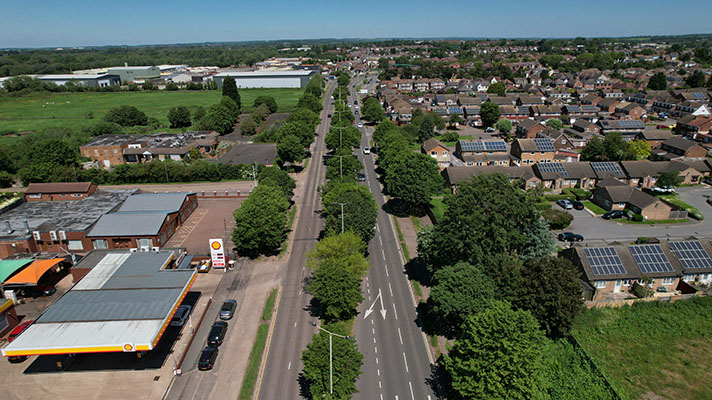
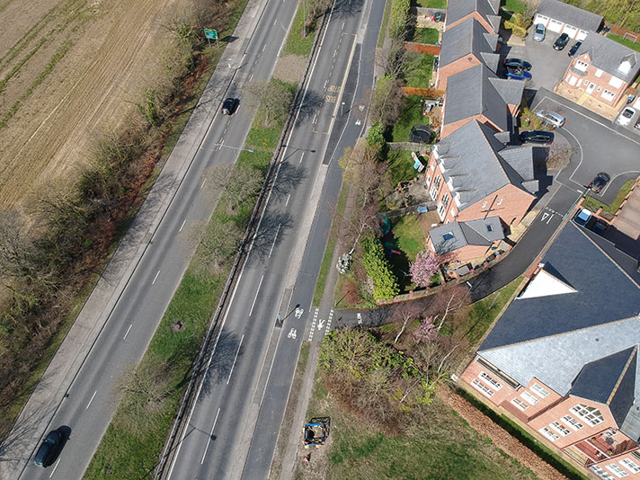
The full bypass extends from Finchley through to South Mimms service station. The period cycle tracks — of which there was at least two stretches on both sides of the bypass, shows a large-scale OS map — have been partially eaten away by later widenings of the A1. The period OS map shows a one-mile stretch of cycle tracks started at Finchley/Hendon Lane, with the tracks contiguous on both sides of the road through to the start of the Watford Way, another part of the Barnet bypass. A flyover has denuded the period cycle tracks.

The Hendon & Finchley Times in August 1938 said the Barnet bypass was to be reconstructed from “North Circular-road to the Watford By Pass, widening the carriageway to 44 feet, providing refuges, cycle tracks and footways, and widening the bridge over the Dollis Brook; building a second carriageway and adding cycle tracks to the bypass from its junction east to its junction west the North Circular-road, on either side of Regents Park-road: making two 30ft. carriageways on the pass from Apex Corner to the junction with the Watford By-Pass near Page-street, including the provision cycle tracks and footways, and widening Bunns-lane bridge.”

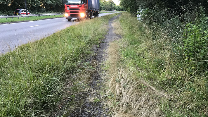
There was also another stretch of Barnet bypass cycle track north of the present day South Mimms service station. Swanland Road is now a standalone road but it was the southbound carriageway of the Barnet bypass until the building of the A1(M). This cycle track still exists, behind bushes on Swanland Road which now looks like a rural lane rather than part of the A1.

NOTES

The Barnet bypass, part of ... https://www.sabre-roads.org.uk/wiki/index.php?title=A1/Early_Improvements

Apart from a narrowing on Dollis ... Memo to chief engineer, Ministry of Transport archives, 19th March 1937.

In 1939, the Sleaford Gazette reported ... “GRANTHAM AND STAMFORD BY-PASSES. Twenty-six schemes to provide, within a reasonable space of time, about 50 first-class miles on the Great North Road. are going to cost more than £2,000,000. Fourteen of the schemes have already been begun, and the others will be started within the next few months. Improvements will be carried out “where they are most urgently needed,” and obsolete bridges will be scrapped and new ones built. In general, so far as the route to Edinburgh is concerned, the Ministry of Transport aims at providing dual carriageways, cycle tracks, and footpaths with an overall width of 120 feet, “but some modifica- tion of this standard will probably be necessary on short lengths at the London end and in Scotland.

“The first mile of the Barnet by-pass is now being rebuilt with a 44ft. carriageway divided with central refuges and cycle tracks. Soon work is to begin on the twomile section where a corner of Hertfordshire juts into Middlesex. Here a new 30ft, carriageway and cycle tracks will be provided, in addition to the existing 30ft. carriageway. One of the weak links, a narrow and I defective bridge over the River Ivel at Biggleswade. and the bend at Old Warden turn. are to be improved considerably. The Ministry plans a four miles bypass at Stamford. six miles by-pass at Grantham and Great Gonerby, and eight miles by-pass at Retford.” Sleaford Gazette, 25 August 1939.

In the same year the Peterborough Standard said ... “Work will begin soon on the two-mile section where a corner of Hertfordshire juts into Middlesex. Here a new 30ft carriageway and cycle tracks will be provided ... The section from the boundary to Newspring Farm, about three miles long, is being widened and converted to the dual carriageway system with separate tracks for cyclists and pedestrians. ” Peterborough Standard, 25 August 1939.

The full bypass extends from Finchley through ... https://maps.nls.uk/geo/explore/#zoom=18&lat=51.59190&lon=-0.21170&layers=170&b=1

The period OS map shows a one-mile ... Great North Road (Widening), Parliamentary question, 19 July 1939. https://hansard.parliament.uk/Commons/1939-07-19/debates/848d675c-220b-42e5-8e3e-973dbfe7ffac/GreatNorthRoad(Widening)

A flyover has denuded ... https://goo.gl/maps/ynVoPZWJyenoUKiBA

The Hendon & Finchley Times in August 1938 said ... Hendon & Finchley Times, 5 August 1938

Explore the tracks