East Lancs Road, A580

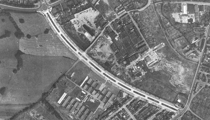
OS 1937-61
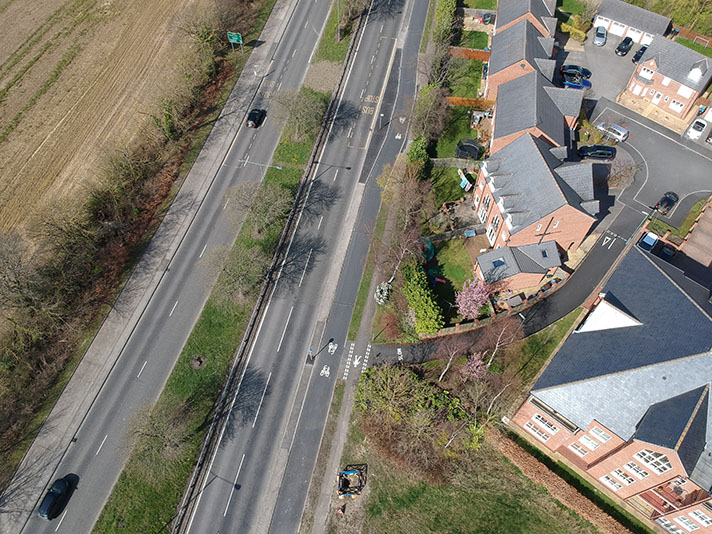
Modern Map
Date opened/built:

c.1939.

Length:

Various, 2+ miles.

Width:

9-ft (2.74m).

Adjoining footway:

Full length of road originally had 6-ft-wide footway, some stretches of which were converted to cycle tracks.

Road type:

Urban and rural dual carriageway today, originally an arterial road.

Surface:

Modern asphalt.

Both sides of road:

Yes and no; mainly on south side but both sides on some stretches.

Adjacent to social housing:

No.

Period mapping:

Worsley: OS Six inch, revised 1949, published 1951, https://maps.nls.uk/view/101103716 Hatching at Worsley perhaps signifying cycle tracks. Rest of road portrayed as wide, but without hatching. Lowton: OS Six inch, revised 1938, published 1947 https://maps.nls.uk/view/101103689 No cycle tracks shown but wide road. Windle/Rainford bypass: OS 1:10,000, surveyed/revised: 1955 to 1964, published. 1965: https://maps.nls.uk/view/189187980

OpenCycleMap status:

https://www.opencyclemap.org/?zoom=15&lat=53.49938&lon=-2.38967&layers=B0000 Cycleway shown on almost full length of East Lancs road, with both sides at Worsley.

Sources:

Period maps, newspaper reports, Google Earth 1945 aerial layer.

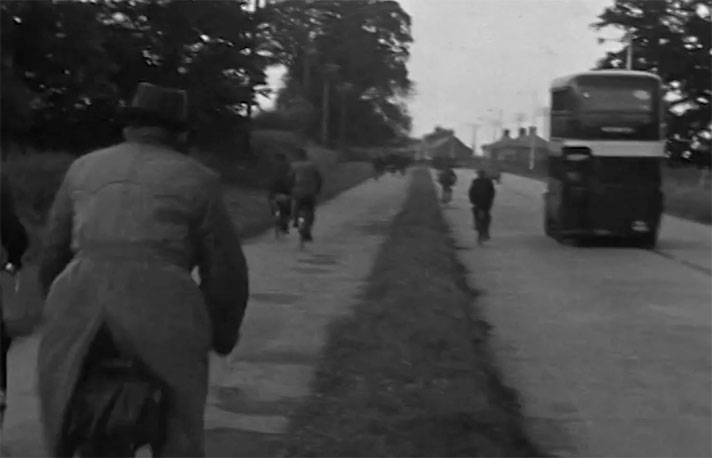
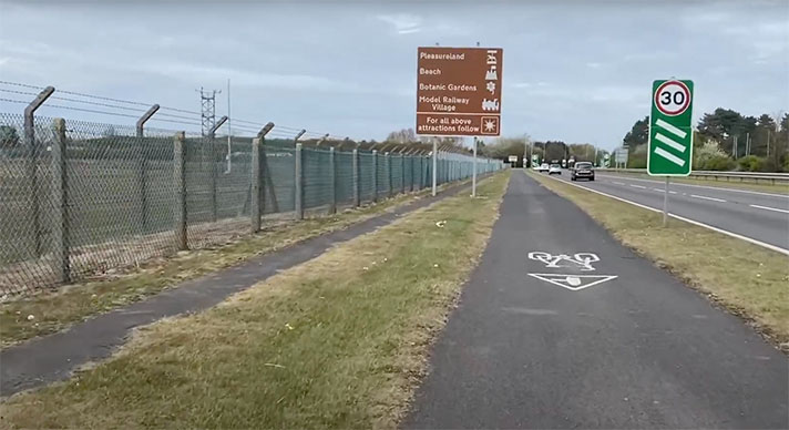
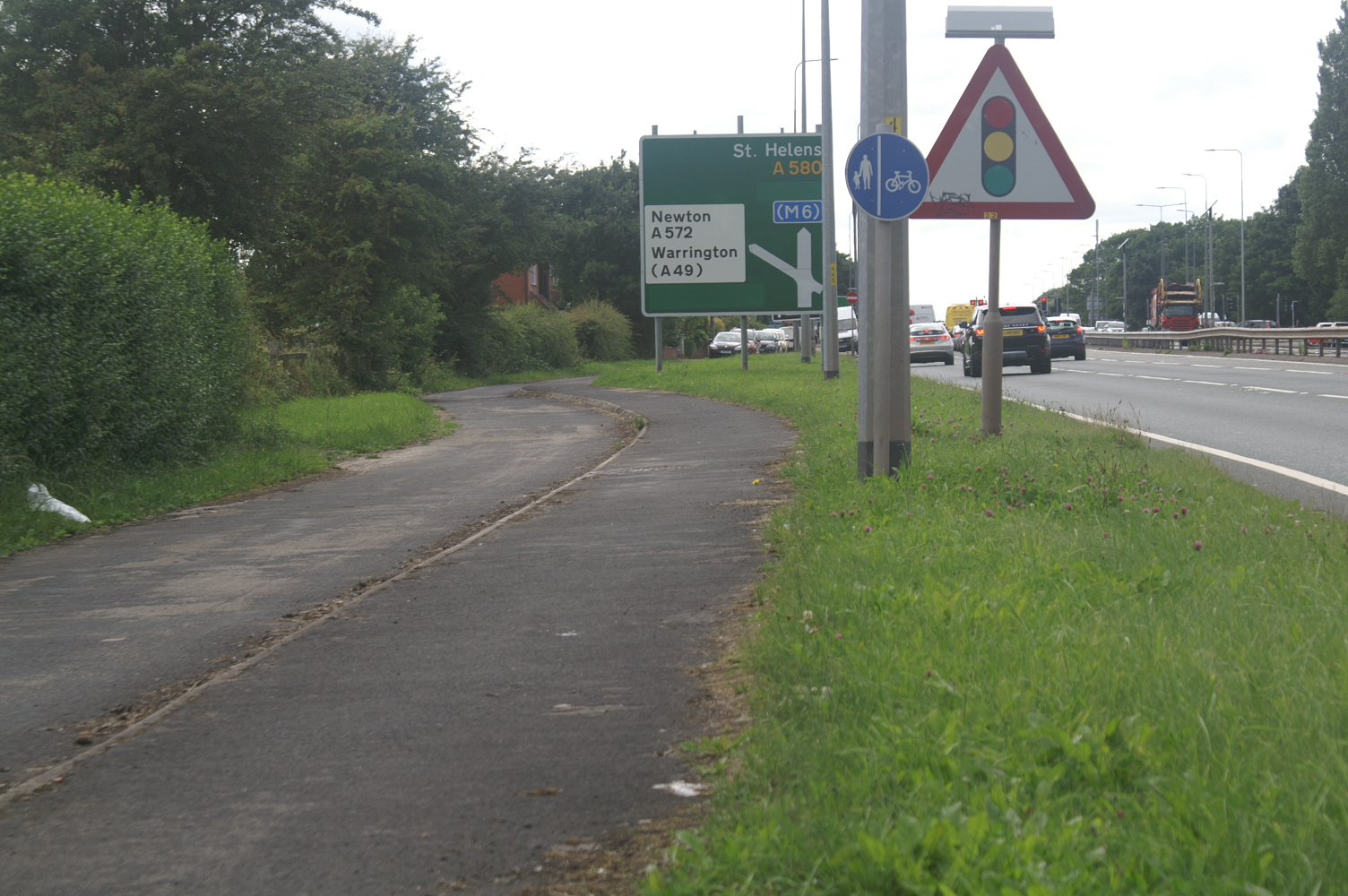
Cycle track and footway on the East Lancs Road. Credit: John Parkin.

The A580 East Lancashire Road between Manchester and Liverpool — Britain’s first purpose-built intercity highway — was opened by King George V on 18 July 1934. It was built by unskilled labour, partly as unemployment relief. A footway was part of the build. Five or so years later the footway was joined by at least two or more stretches of cycle track.

“On the Liverpool-East Lancashire trunk road the construction of dual cycle-tracks nine feet wide for a length of 2½ miles from its junction with the Manchester-Preston-Carlisle trunk road will be put in hand shortly,” the transport minister Leslie Burgin told parliament in May 1938.

He added: “I propose in due course to extend these tracks westwards for the whole length of the road.”

That didn’t happen, and the anecdotes I’ve been told of 25-mile cycle journeys on this long road are probably memories of footway rides. (Few people will have ever walked long distances beside the East Lancs Road.)

It has not been confirmed that the three stretches above are period cycle tracks but cycle tracks were definitely built on the road, as attested by a cyclist writing to the Manchester Evening News to complain about them in 1949.

An OS air photo from 1944 to 1950 shows what would be a quite odd footway and cycle track combination on the north side of the southern carriageway of Walton Hall Drive stretch of the road. However, this is a tram line run for the Liverpool Corporation Tramways and is now buried by grass.

When it was built in 1934 the East Lancs Road did not have dual carriageways. According to the road’s opening brochure it had “one central carriageway, 40 feet wide … flanked by a verge 4 feet wide and a footway 6 feet wide on each side.”

The carriageway “[comprised] two coats of steam rolled asphalt to the British standard specification, and it is interesting to record that one of our oldest Colonies, Trinidad, has supplied a percentage of the bitumen used in the preparation of this material.”

NOTES

“On the Liverpool-East Lancashire ... EAST LANCS. ROAD TO HAVE CYCLE TRACKS Mr. Burgin, Minister Transport, stated in the House of Commons that Liverpool-East Lancashire road dual cycle tracks, 9ft. wide, for two and a half miles from its junction with the Manchester-Preston Carlisle road, will be put in hand shortly These tracks will later extend for whole road. Islands will placed at some road junctions, but the 40ft. carriageway not being widened for dual rly-over junctions would too costly. Burnley Express, 28 May 1938.

It has not been ... “As a cyclist who covers many hundreds of miles a year I would like to point out the disadvantages of cycle tracks. I.—They are unsafe because there is no indication in which direction a single track may be used. 2.—They are used by pedestrians proceeding in both directions and quite often as a pram track. 3.—Where tracks are crossed by side roads, motorists frequently ignore the cycle tracks. 4.—There are the very dangerous places where one must leave the track to get back on the roadway. For example the run-in to the main road on Barton Road, within a short distance of Davyhulme Circle; the so-called cycle track on the by-pass road from Altrincham to the roundabout at the junction of Stockport-Altrincham and Brooklands roads [Shaftsbury Avenue, Timperley] ; the very dangerous run in and out on the Northwich by-pass ; and the entrances and exits to cycle tracks on the East Lancashire Road, close to the traffic islands.” H. Downs. 20. Beresford Road, Stretford. Letter to Manchester Evening News, 21 January 1949.

According to the road’s ... Opening brochure saved at https://web.archive.org/web/20070207023555/ http://www.lancashire.gov.uk/environment/historichighways/eastlancs/index.asp

Explore the tracks