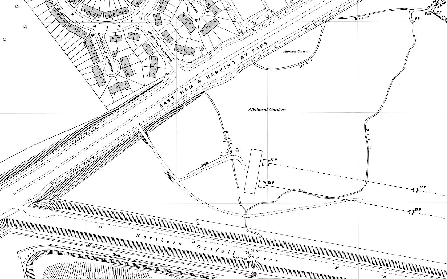
Period OS map showing cycle tracks on East Ham & Barking Bypass.
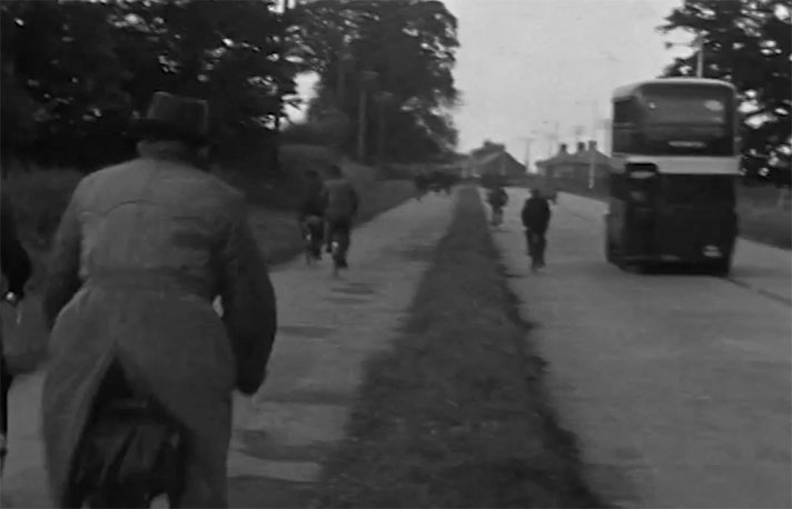
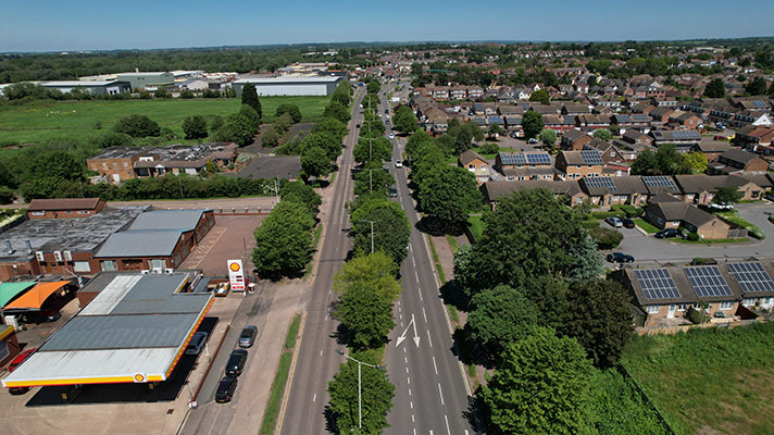
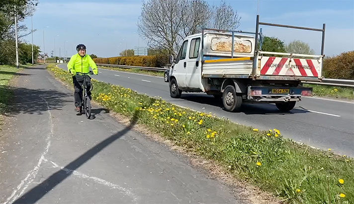
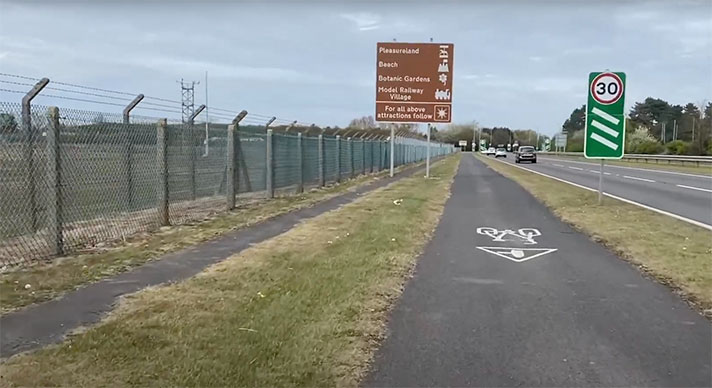
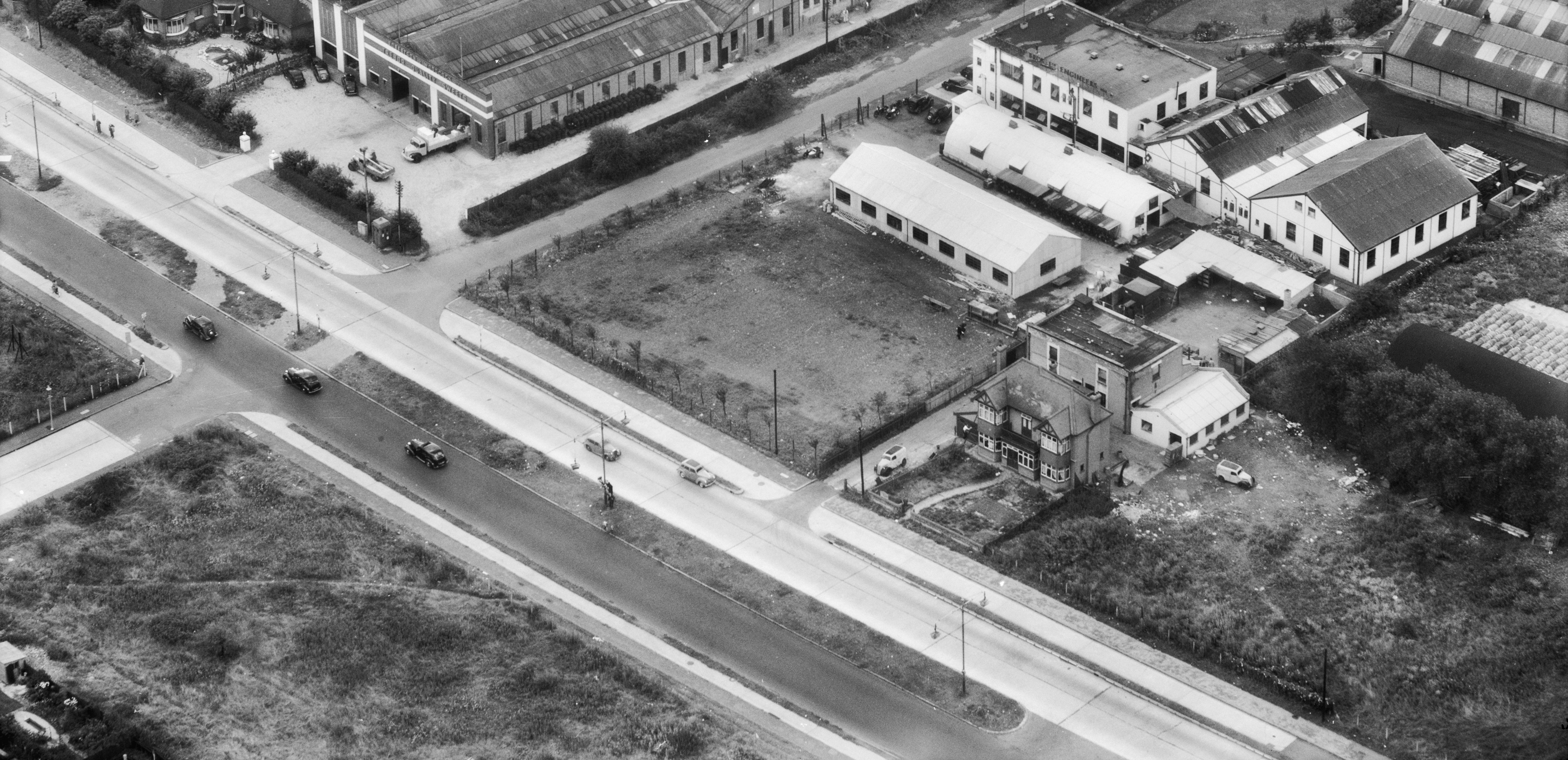
Cycle tracks beside the East Ham and Barking by-pass were designed in the 1930s, reported to have been built but were probably not installed until 1958. The bypass — incorporating Newham Way and Alfred’s Way — still has adjacent cycleways but, because the road has been remodelled several times since the 1950s, these cycleways, now labelled as CS3, are not in the same locations as the ones designed in the 1930s.
The bypass between Canning Town and Ripple Road opened on 26 May 1928. It was built as a link from the East End of London to Dagenham.
Starting in 1936 there were several announcements in the press and in parliament regarding cycle tracks on this road, and therefore enough time before WWII for the dualling of the road and the installation of tracks but newspaper reports from 1958 suggest the widening didn’t take place until then.
There’s almost nothing on the ground with which to evaluate the period appearance of the tracks, but the post-1958 mapping shows the design appears identical to cycle tracks installed on similar arterial roads in the 1930s.
Interestingly, the bypass intersects with the London Northern Outfall Sewer, atop which is now the Greenway multi-use path. Google Earth’s 1945 aerial layer shows there was a distinctive, wide track along the Greenway’s route and period references show that the track existed in the 1930s, with pre-war plans for the track’s adoption as a “magnificent boulevard through the heart of East London.”
“Dual carriageways and cycle tracks are included in £27,800 improvement scheme for part of the East Ham and Barking by-pass road,” reported the Illustrated Police News in November 1936.
The Scotman also said the road would be equipped with cycle tracks and said there were to be “extensive changes in the layout of the East Ham and Barking by-pass.”
The Chelmsford Chronicle said there were plans for “two cycle tracks, each 9ft. wide and “two 6ft. footpaths.” The newspaper said the plan was for the changes to be effected “within twelve months.”
Such upgrades usually took two or more years to complete and there’s no record of a widened bypass being opened by the end of 1937. Indeed, in the summer of that year the Minister of Transport Leslie Burgin was asked in parliament when the upgrade work would be started.
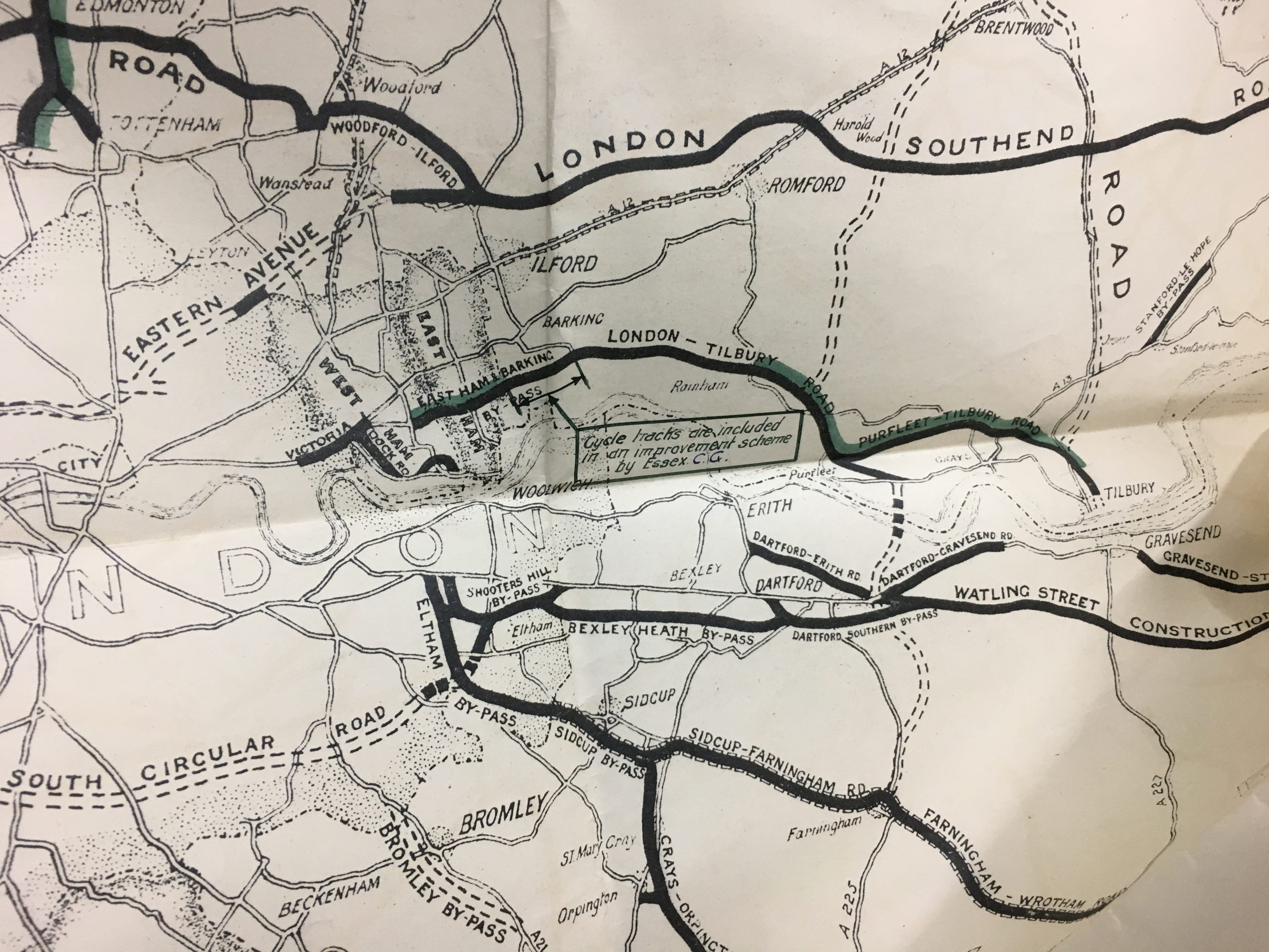
Ministry of Transport map of completed road schemes, 1937. Green piping marks where cycle tracks were also added.
“A grant has been made from the Road Fund towards the cost of providing a second carriageway and cycle tracks along a mile and a quarter of the East Ham and Barking by-pass (in Barking),” replied Burgin, “and the Essex County Council hope that work will be started this year.”
Despite the MoT map of confirmed tracks above it’s unlikely work began. However, “there is a possibility that a cycle track will be constructed in Poplar,” observed the East London Observer in 1937. “The [London County Council] intimate to the Poplar Borough Council that they have under consideration a suggestion of the Ministry of Transport that a cycle track should be constructed along the top of the Northern Outfall Sewer embankment between Wick Lane, Old Ford and the East Ham-Barking by-pass road,” reported the newspaper, adding that the “proposed track will be about 12ft. wide with a footway six feet wide and a grass verge in between.
Greenway
Joseph Bazalgette’s London Northern Outfall Sewer runs for 8kms from Stratford Marsh to Beckton. A walkway on top of the sewer was known colloquially as the Sewerbank.
Reynolds’s Newspaper said authorities in the 1930s planned to make this informal walkway — trod by Gandhi in 1931 when he lived in the area — into a “magnificent boulevard” with “gardens, cycle tracks, and pleasant walks.”
“The existing embankment is not used for traffic,” continued the newspaper, “and the public is only allowed to walk along various sections of it during stipulated hours.”
The informal Sewerbank became the official Greenway after improvements were made to the embankment in the 1990s. It is now a popular shared-use path. Cycle tracks were added to the East Ham and Barking Bypass between 1958 and 1959.
“Mr. Harold Watkinson, Minister of Transport and Civil Aviation, has authorized the construction … of a second carriageway, 30ft. wide, on the East Ham-Barking by-pass,” reported The Times in February 1958. There were to be “9ft wide cycle tracks” on the bypass, said the newspaper, and were to be installed “between Prince Regent’s Lane, West Ham, and the East Ham-Barking boundary.”


