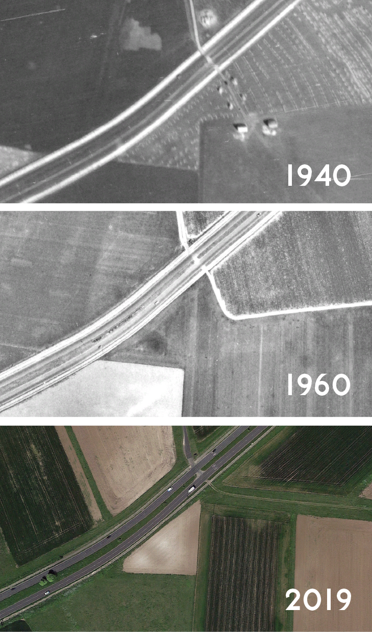
From Google Earth.
The A299 Thanet Way is a 22-mile road from Ramsgate almost to Faversham and opened in 1939 (the 5 mile stretch from Monkton to Ramsgate via Manston Airport is modern). The 1940 aerial layer of Google Earth shows that the “spur road” part of the A299 from Monkton to St. Nicholas-at-Wade was equipped with cycle tracks and footways on each side. The concrete cycle tracks and footways shine white and are very prominent. The tracks also clearly continue on the adjoining A28 Canterbury Road to Birchington-on-sea.
A white track also runs the length of the period Thanet Way from the roundabout before St. Nicholas-at-Wade to the A2 London Road close to Faversham (which is now dissected by the M2 motorway). Tracing the spur road’s footways and cycle tracks on Google Earth’s 1940 layer shows the footway continuing for a further 16 miles on one side of the road while the cycle tracks do not continue.
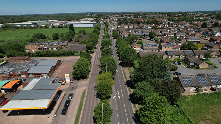
The 5.72 mile stretch of the Thanet Way from Eddington, south of Herne Bay, to just southeast of Seasalter, is a modern alignment, built in stages between 1989 and 1997. The “old” Thanet Way was renumbered as the A2990 — both alignments are labelled as Thanet Way on OpenStreetMap and other maps.
(This old Thanet Way probably had period cycle tracks along its whole length, but to date, there’s no documentary evidence to confirm this. There is a modern-looking cycleway alongside the road between Herne Bay and Whitstable and it’s likely this is based on a period predecessor.)
Building work on the Eddington to St. Nicholas-at-Wade section of the road — complete with footways only — was complete by October 1932.
Like many other roads of the period, the A299 Thanet Way was an unemployment relief project, reveals an answer to a January 1930 parliamentary question. (This also reveals that the Thanet Way was originally called the Kent Coastal Road.)
The period Thanet Way sported cycle tracks and ended at the roundabout north of Monkton, says a 1937 newspaper report. “The new coastal road from Faversham to Margate, which covers distance of more than 20 miles, and includes a spur road on the Ramsgate road between St. Nicholas and Monkton, will when completed, have cost over £600,000 according to a statement issued by the Ministry of Transport,” reported Thanet Advertiser in August 1937.
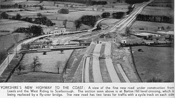
“The present single carriageway, which is 24ft. wide, will remain but the road will be widened to 100 ft.. and there will be constructed new 22ft. carriageway, dual 9ft. cycle tracks, and 6ft. footpaths, all separated by grass verges,” continued the newspaper.
The “spur road” opened on 26 May 1939. It’s likely that the A28 dual carriageway to Birchington — with its cycle tracks — opened in the same year.
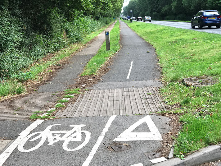
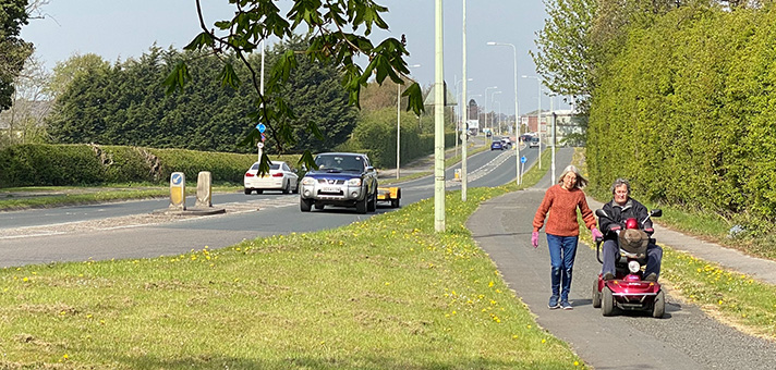
“As a child growing up in the 60s and 70s, we made frequent visits to relatives in the Isle of Thanet and often travelled along these roads and I do recall the cycleways being used by cyclists,” project backer Tim Rolfe told me.
“Local farmers [today] often use these and other sections as easy access,” he added. The period cycle tracks could indeed be easily confused for concrete farm access roads, although one such access road has been built on the north side of the spur road with the period cycle track buried or lost.
Sociology professor Peter Cox — an expert on cycle advocacy movements — told me he remembers cycle track signs beside the Thanet Way in the early 1970s.
“I grew up in Ramsgate. One of my earliest memories in the car [in about 1971] is asking what the sign meant on the path that ran alongside the Thanet Way, and it being explained to me that this indicated a special place for bicycles.”
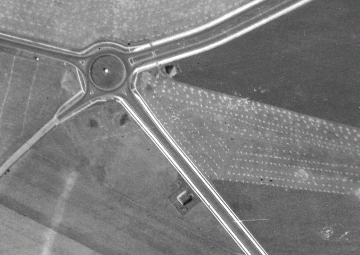
Google Earth’s 1940 aerial layer shows cycle tracks on spur road and — to the right — the A28. The roundabout is still there but spur road’s cycle tracks are now buried.


