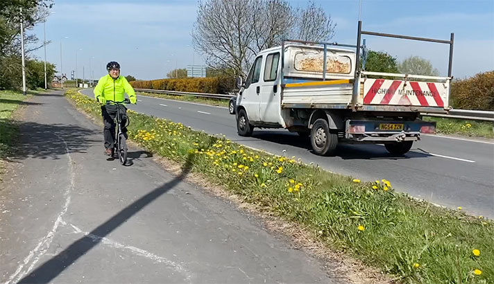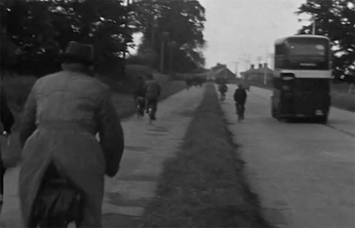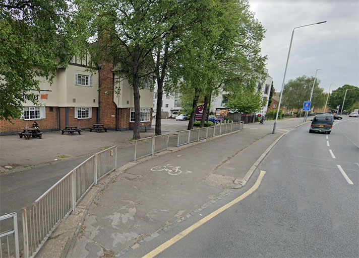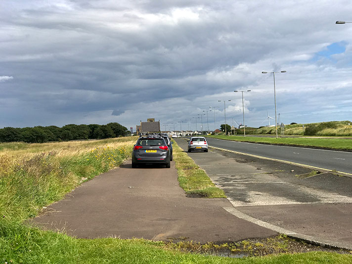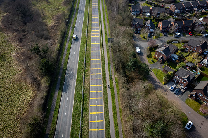
Kidlington’s cycle tracks date from the 1950s but were built to a 1930s design.
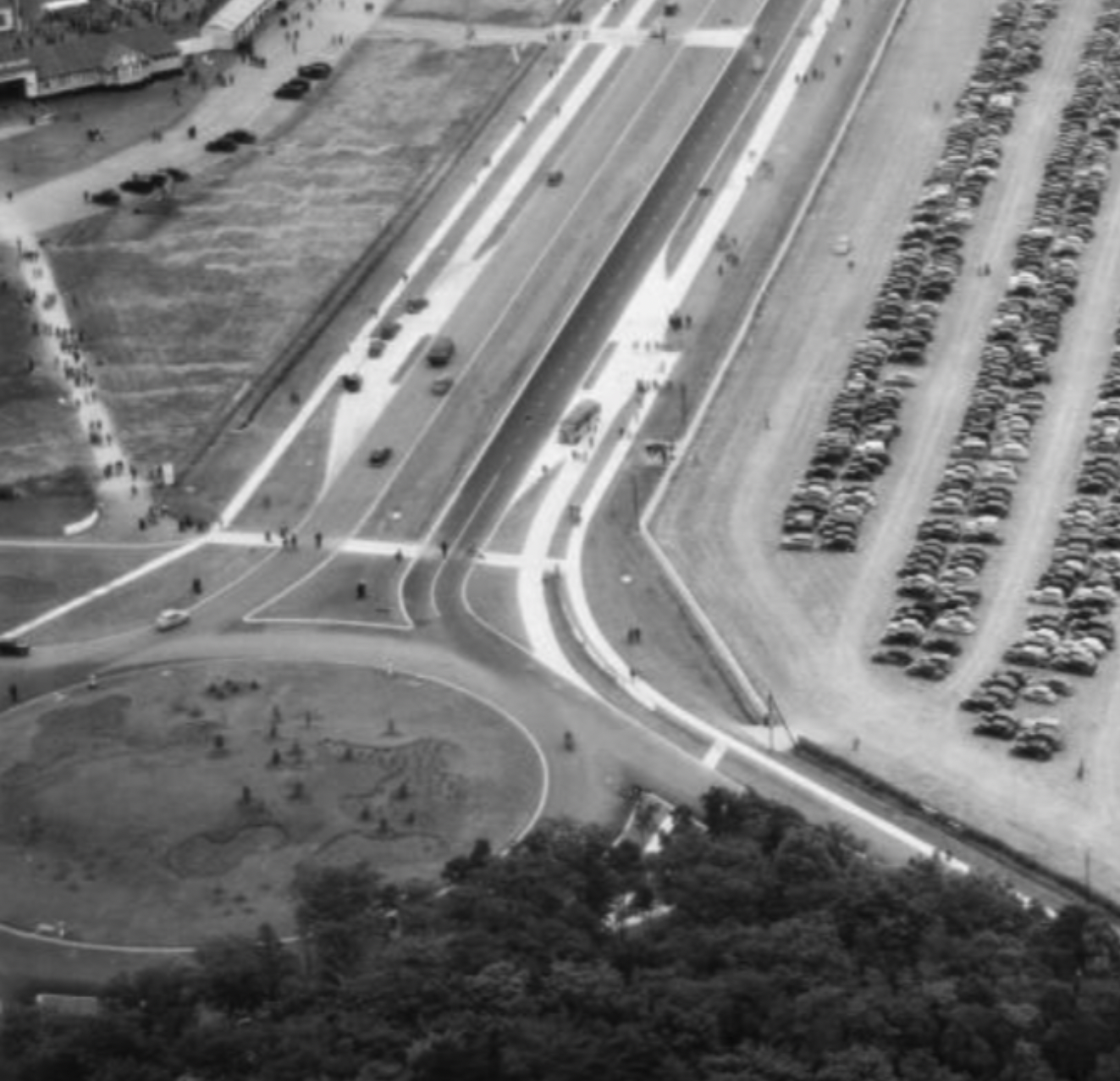
The Royal Agricultural Society of England’s Royal Show, held almost every year from 1839 to 2009, was staged on Kidlington aerodrome near Oxford in July 1950. 122,236 members of the public paid to attend the wet and muddy event, many of whom were ferried to the temporary show buildings by a fleet of buses. A series of aerial photographs might prove that a 1930s-style footway and cycle track was also built for show visitors. This was built alongside what was then the busy A34 (it’s now the A44).
The concrete-capped cycle tracks and footways shine bright white in the photographs.
The cycle tracks and footways also shine bright white in Google Earth’s 1945 layer. The cycle tracks and footways were therefore probably new when the photos were taken. The 1950 aerial photograph can be dated exactly but it appears that Google’s 1945 layer does not, at least in this example, date to 1945.
Both the 1950 aerial photograph and Google Earth’s 1945 layer (which is more like a 1950 layer, really) show newly cut footways across the Bladon roundabout, near Woodstock. These footways — which still exist — were probably created for the Royal Show because they lead from impromptu car parks and bus turning circles through to walkways laid out for the show.
It’s likely that the dual-sided Kidlington cycle tracks meshed with those of the Oxford Northern Bypass which were operational in 1938.
Google Earth’s “1945” layer shows that the tracks may have extended to Yarnton and beyond to Wolvercote. A chap is here riding his bike on this track perhaps to his house: https://goo.gl/maps/mL7hwrg5j6CWVZsY6
There’s also possible evidence of a concrete footway, near Yarnton: https://goo.gl/maps/fUKi8qDJN5G6ZBKH6
“One length [of dual carriageway] between Oxford and Woodstock is now under construction,” reported the Gloucestershire Echo in 1947.
The Royal Show was staged on Kidlington aerodrome. This was opened in 1934 by Oxford City Council but requisitioned for use by the RAF in 1939.
The grass strips became RAF Kidlington which was used as a training airfield.
In 1941, RAF Kidlington was the destination for pioneer aviator Amy Johnson (in 1930 she became the first woman to fly solo from Britain to Australia). She could not find a gap in the cloud over Oxfordshire and ran out of fuel before she could land, bailing out over the Thames Estuary. Neither her body nor the aircraft were ever found.
After the war the aerodrome reverted to civilian use. In the 1960s it was the second busiest airport in England handling over 220,000 aircraft movements a year when Heathrow was handling 240,000 at the time. It is now known as London Oxford Airport, with plans to expand.
While the cycle tracks of Kidlington probably date to 1950 they are of 1930s-design.


