Farnham Bypass, nr Aldershot

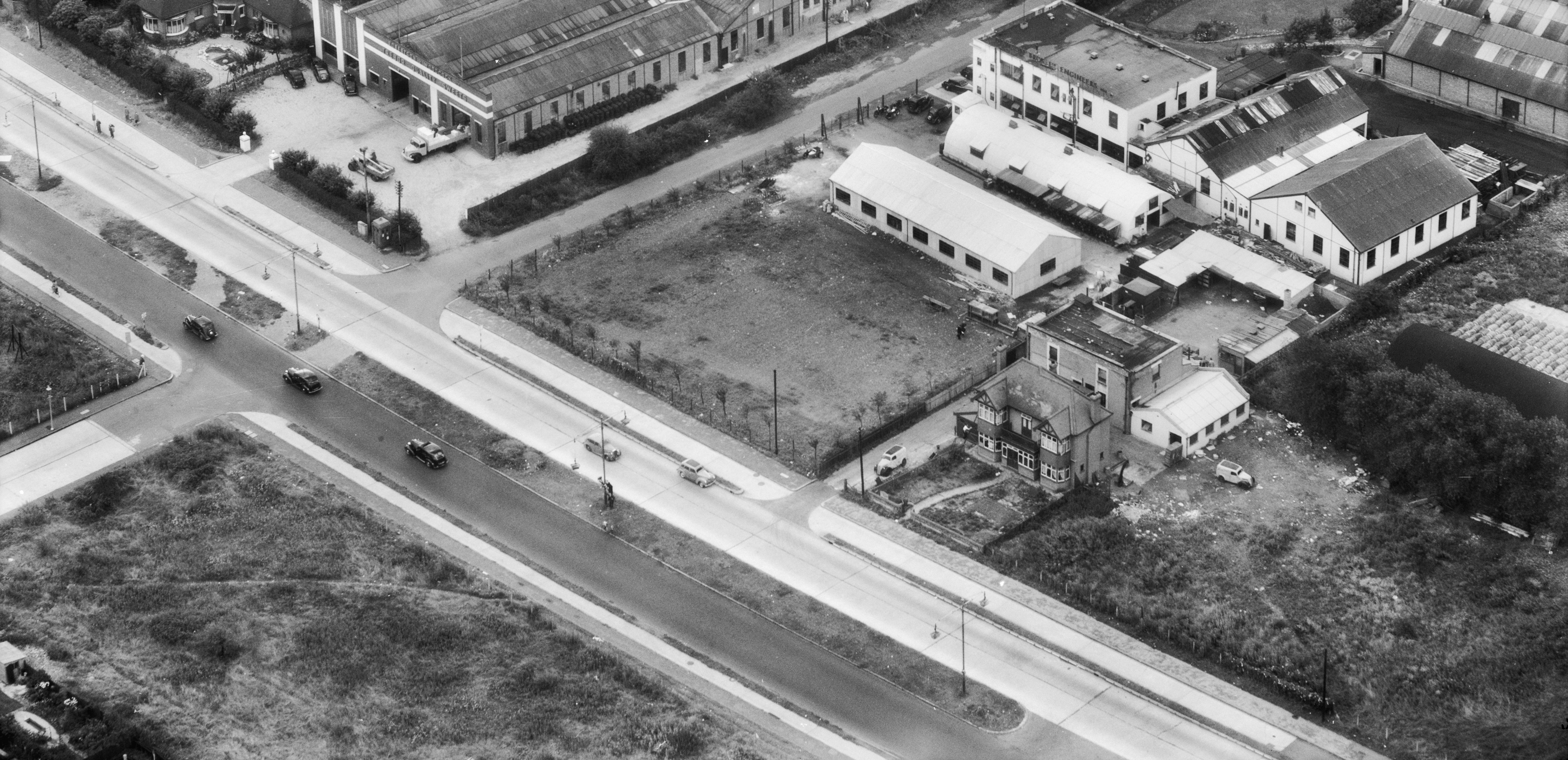
OS 1937-61
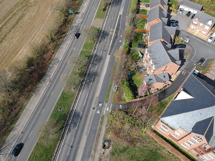
Modern Map
Date opened/built:

c.1940.

Length:

2 miles (3.22kms) in total; central section not completed until 1957.

Width:

Unknown.

Adjoining footway:

No.

Road type:

Urban dual carriageway.

Surface:

Modern asphalt.

Both sides of road:

No.

Adjacent to social housing:

No.

End:

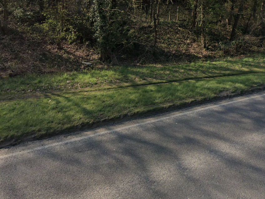
Difficult to work out where track ends; wide asphalt here reduced to narrow, overgrown track: https://goo.gl/maps/jzg9mEs7r89ZoVUE6

Period mapping:

OS Six inch revised 1938, published 1944 https://maps.nls.uk/view/101725400 Shows two sections of bypass had been surveyed; hatching probably shows not full width of road would be used for carriageways.

OpenCycleMap status:

https://www.opencyclemap.org/?zoom=16&lat=51.2112&lon=-0.79606&layers=B0000 Cycleway marked on south side of (newer) bypass; footways not marked.

Sources:

Period maps, newspaper reports.

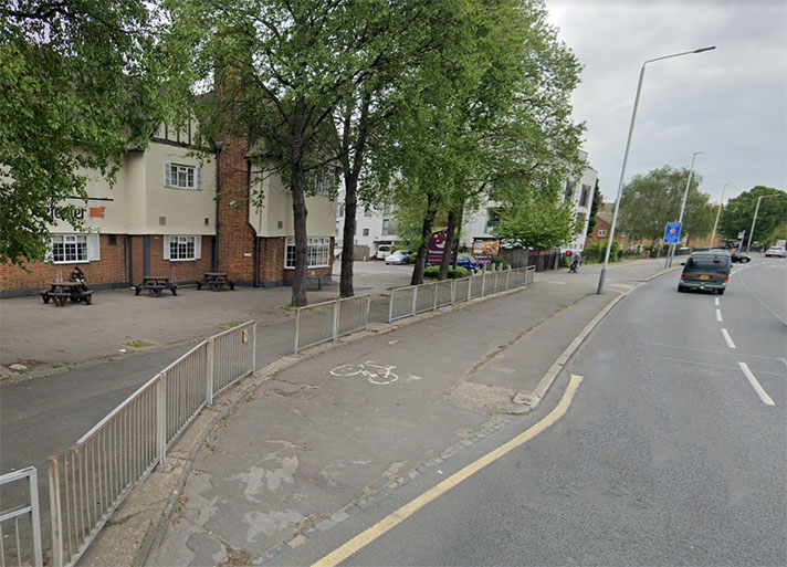
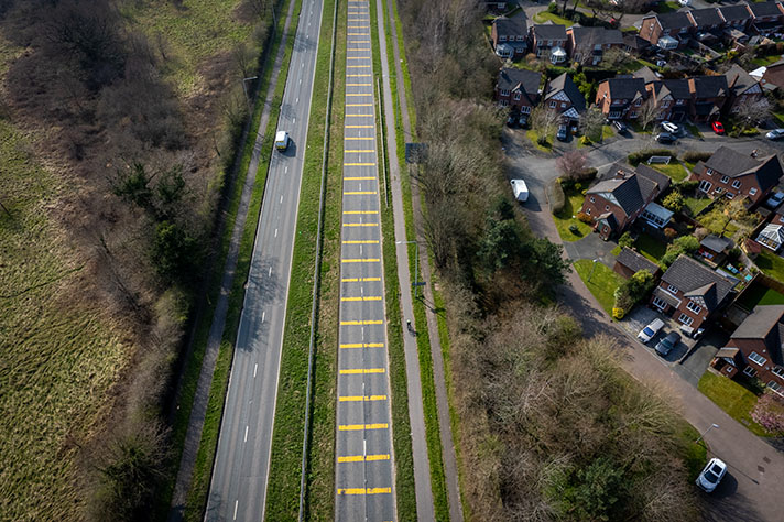
Little evidence remains of any cycle track on the Farnham bypass.

“Work will begin immediately on Farnham, Surrey, by-pass, plans including a ‘fly-over,’ cycle tracks, pedestrian footbridges, and subways,” reported the Portsmouth Evening News in June 1938.

However, construction was halted the following month, with workers diverted to building a nearby army camp. The full two-mile-length of the bypass was not completed until 1947, with the central section being the last to be built. The two outer sections were opened to traffic in February 1940, and it’s likely that a rudimentary cycle track, on one side of the road only, was also usable at this point.

NOTES

“Work will begin immediately ... Portsmouth Evening News, 25 June 1938.

Explore the tracks