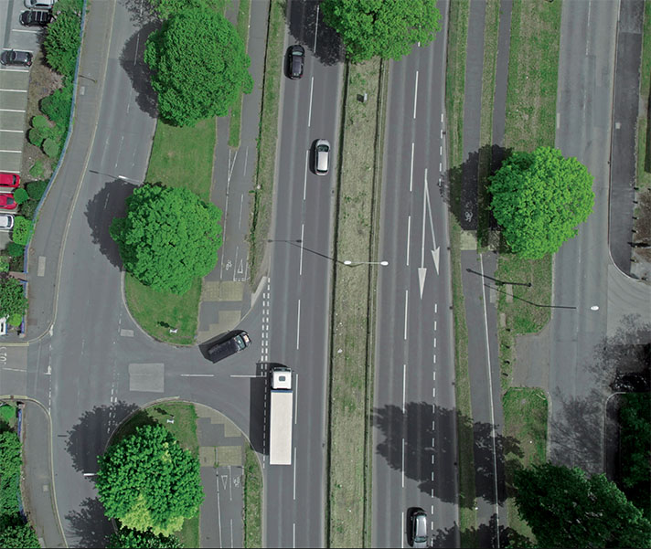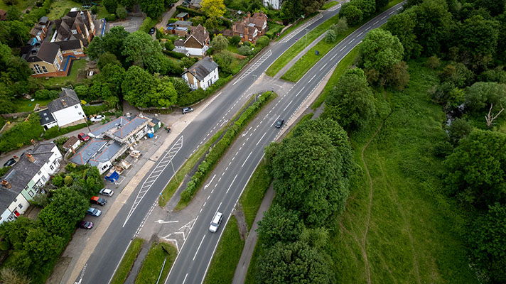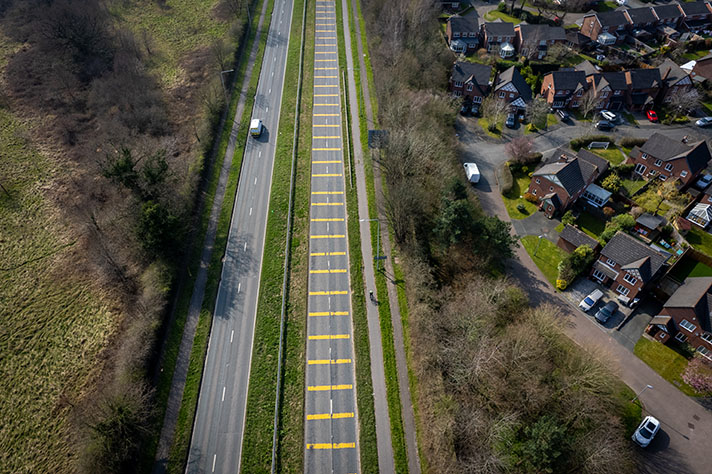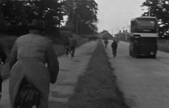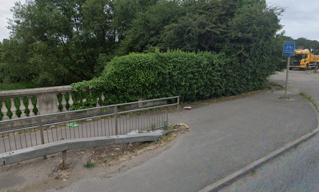
The period cycle track has disappeared but it’s perhaps instructive that a modern cycleway ends half way along Colnbrook Bypass with an “end of route” sign.
The Colnbrook bypass, an extension of the A4 Great West Road and to the northwest of the future Heathrow airport, was built in 1928 as a “long speed-track from Chiswick to Slough.”
For eight years, these speeds were somewhat curtailed by the introduction of sharp corners designed to deflect motorists on to an experimental 600-yard stretch of road. (Using Google Earth’s 1945 aerial layer I measured the long-gone section to be 540 yards, or 493m.)
“Motorists using the Great West road from today onwards are to be called upon to collaborate with the Ministry of Transport in an effort to discover the ideal method of road construction,” revealed the Daily Mirror in 1929.
“A section of road 20 ft. wide and 600 yards in length has been constructed alongside, and linked up with, the Colnbrook by-pass at the Harmondsworth end. This experimental stretch is composed of many sections of concrete, each of a different specification. Private motorists and lorry drivers will … drive over the new patchwork surface … ascertaining what is the best specification for a concrete foundation for a road.”
The section of road chosen for this test was just metres from the Ministry of Transport Experimental Station at Harmondsworth, forerunner of the Road Research Laboratory, today’s Transport Research Laboratory, and was paid for “wholly at the cost of the Road Fund,” stated the transport minister.
MoT engineers finished their tests on the experimental stretch in September 1937, finding that “concrete surfacing, if carefully laid, can be much thinner than has hitherto been thought possible.”
Three years later, a newspaper report revealed that the Road Research Laboratory also tested cycle tracks somewhere on the Colnbrook bypass where it was found “stabilised soil” could be used for “surfacing for cycle tracks and footpaths, of which the most promising appeared to be cycle track construction.”
(The Road Research Laboratory also used differing slabs of concrete on an experimental post-war cycle track in East Lothian, see LONGNIDDRY, A198.)
As is evident from comparing historic aerial views in Google Earth the Colnbrook bypass has been much reconfigured during its lifetime and nothing remains of the road’s 1930s cycle tracks and nor is it possible to work out where they may have been. It’s perhaps instructive that a modern cycleway ends half way along Colnbrook Bypass with an “end of route” sign.


