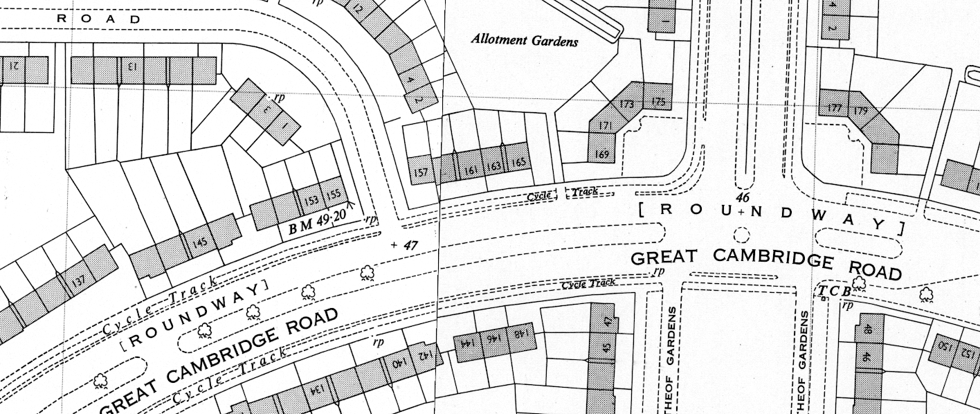
OS 1:1,250 map showing cycle tracks on Great Cambridge Road, 1955.
On 6 July 1938, Vyvyan Adams, the Conservative MP for Leeds West, put a (probably staged) question to Minister for Transport Leslie Burgin.
“Is [the Minister] aware,” asked Adams, “of the great and growing volume of traffic on the highway to the north of the Metropolis, known as the Great Cambridge Arterial Road; that there is abundant margin available for the widening of the roadway which is at present narrow; and whether he will forthwith have the matter put in hand?”
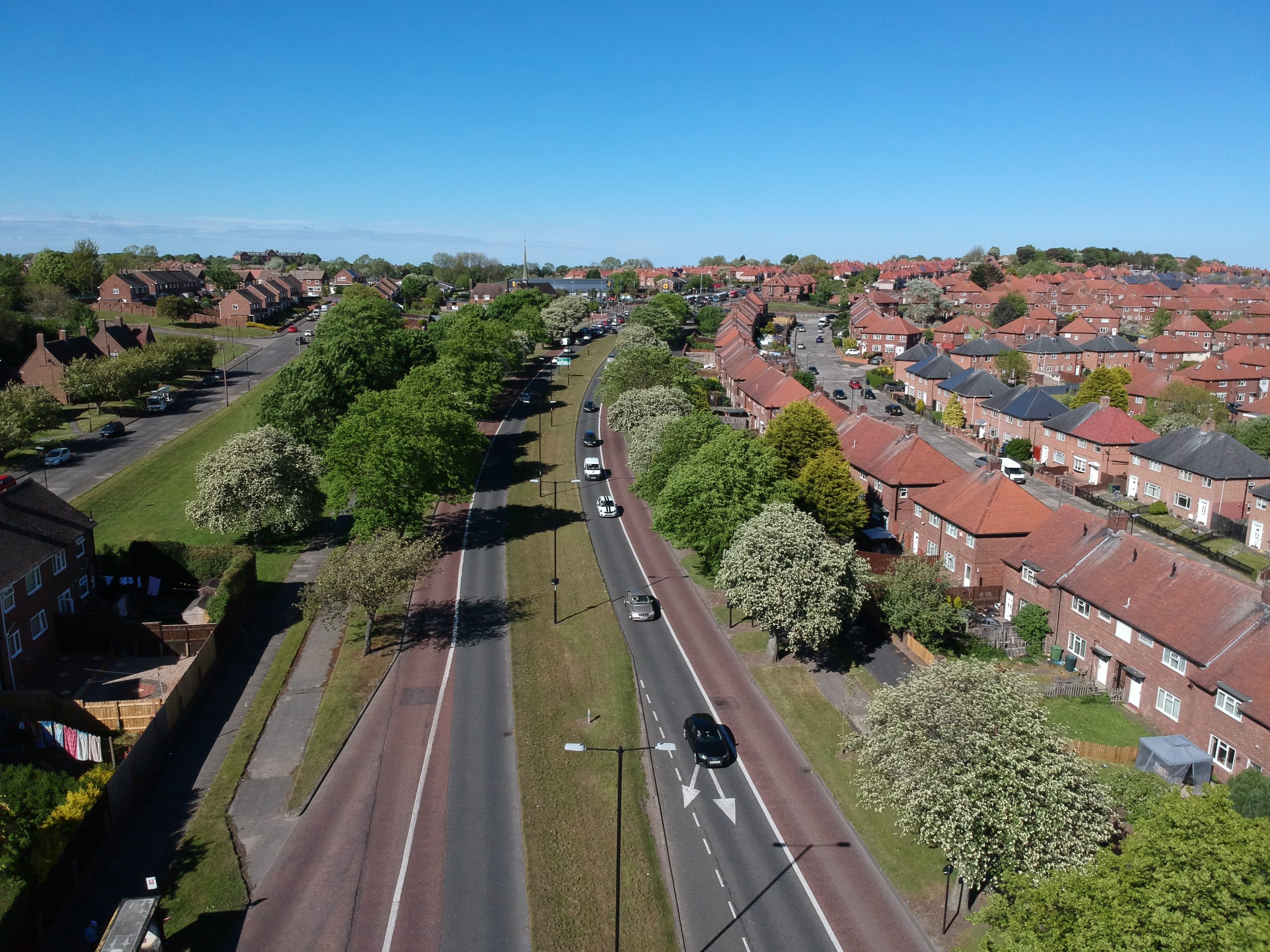
Great Cambridge Road in use.
Burgin replied: “I have already made a grant from the Road Fund towards the cost, estimated at £61,440, of duplicating the carriageway and constructing cycle tracks between Lordship Lane and North Circular Road, and this work is nearly completed.”
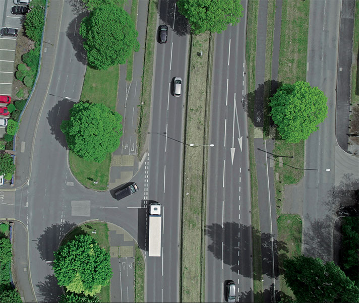
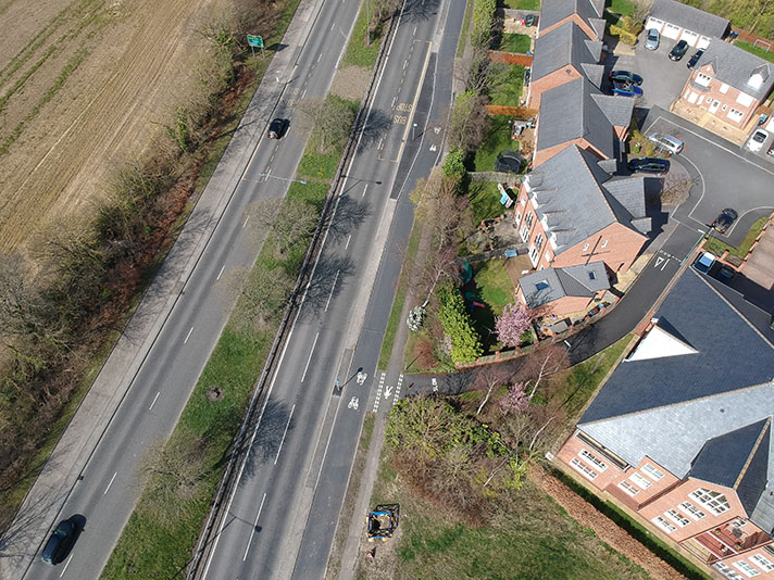
Large scale mapping produced in the 1950s, listed above, shows that the cycle tracks were installed on a 1.39 mile stretch of the road, but there is no information on their width. There is only partial in situ evidence for the tracks, including some extremely narrow kerb-separated segments surfaced with what is probably period concrete. The road has been much remodelled, with build-outs and resurfacing obscuring the period tracks. The North Circular road junction has been extensively widened, reshaped and elevated, which has obliterated the 1930s cycle tracks. However, there are Stevenage-style separated cycleways beneath the elevation taking cyclists across the junction — there is even a cycleway bridge over the North Circular. The underpass was first proposed in 1974 and built between 1987 and 1990.
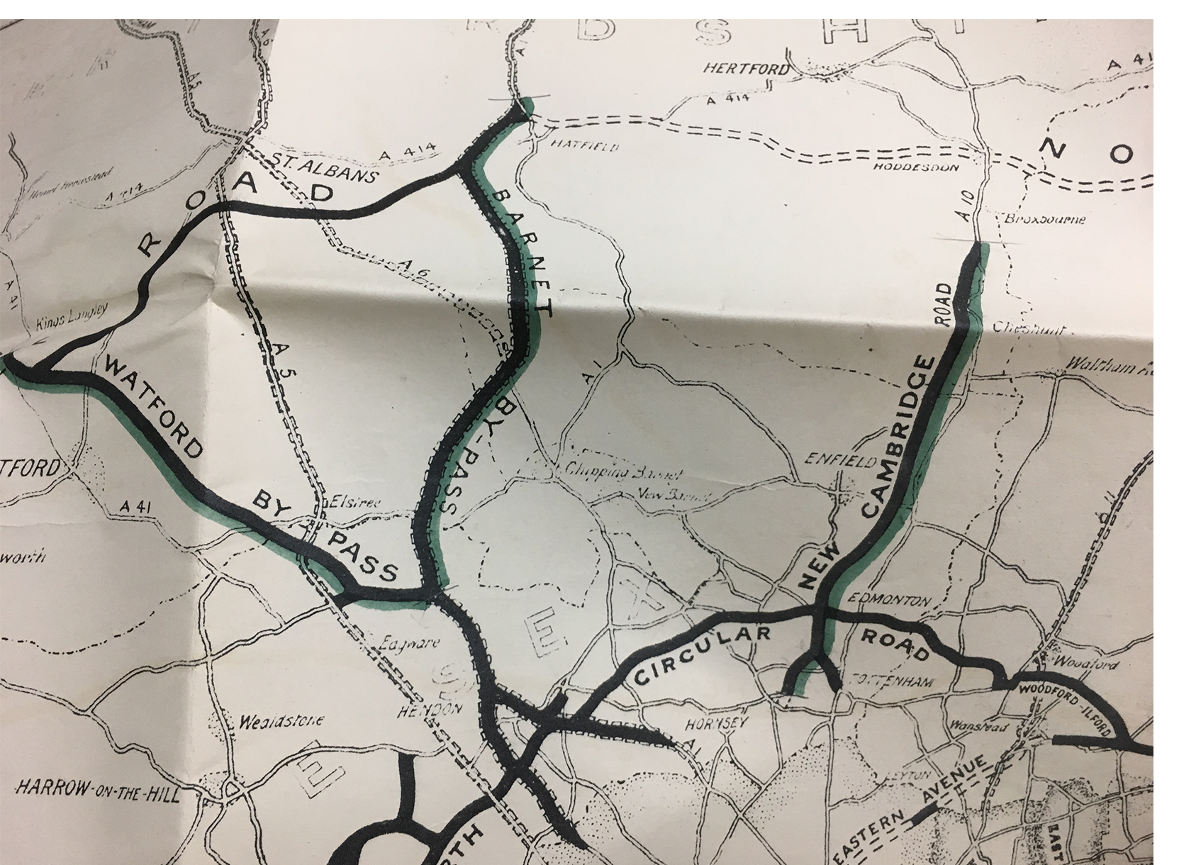
Ministry of Transport map of completed road schemes, 1937. Green piping marks where cycle tracks were also added.
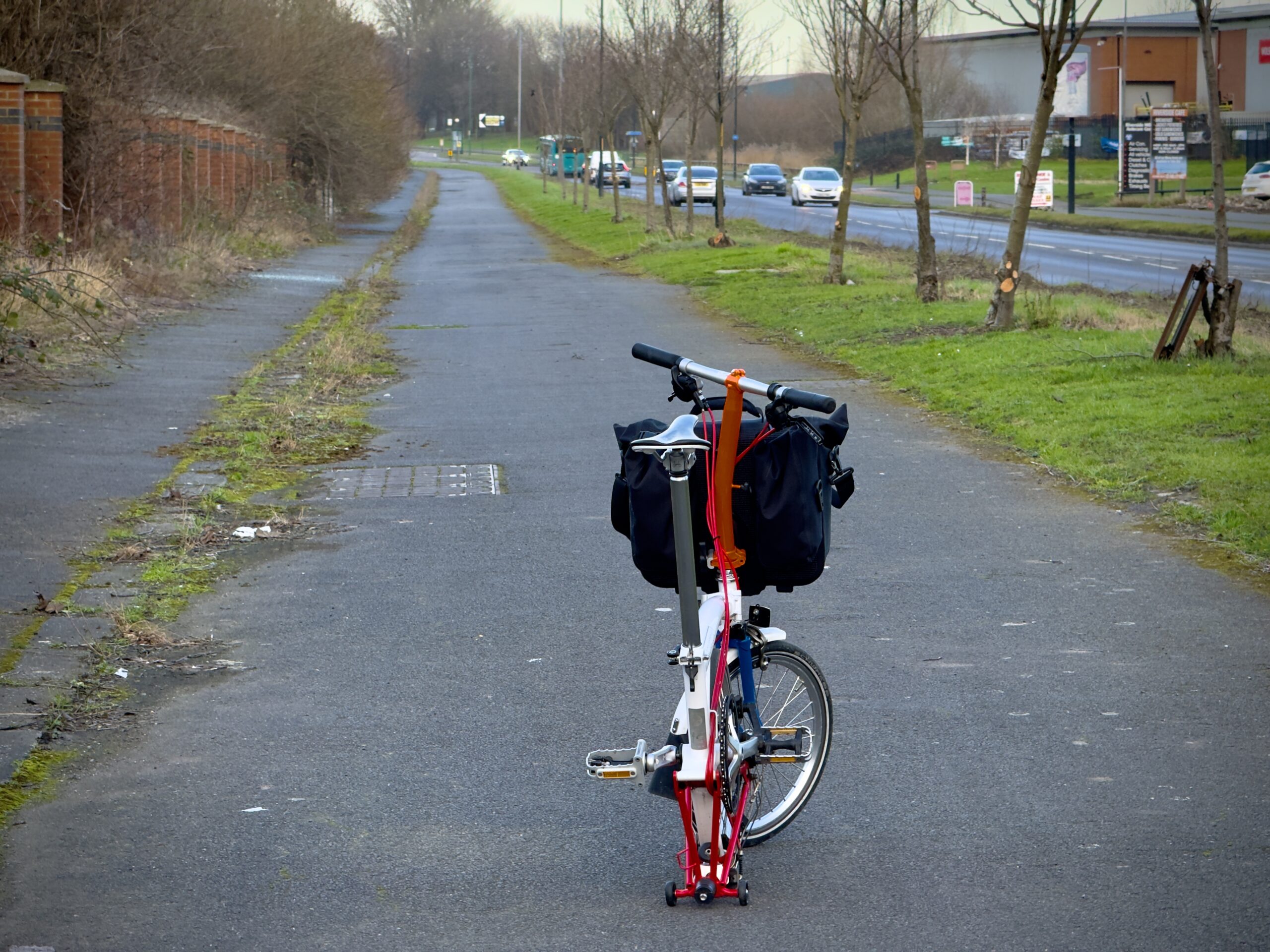
According to a newspaper report in 1939 a further stretch of cycle tracks were installed 1.5 miles further north on Great Cambridge Road some time after April that year. There is evidence on the ground for these tracks between Bury Street to Carterhatch Lane, Enfield. There is a narrow cycle track and adjoining footway starting on the east side of the road outside Edmonton County School in Enfield (founded as a grammar school in 1919). This extends for a little less than 2 miles, or 3kms.


