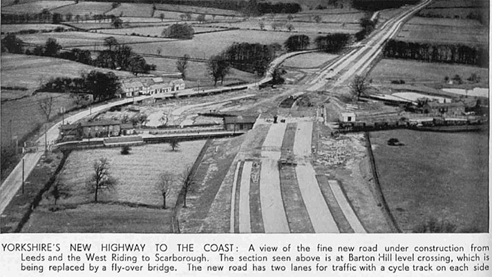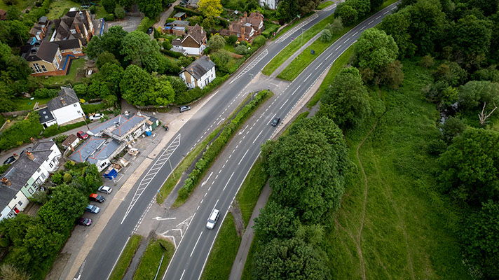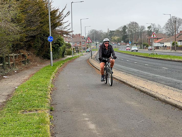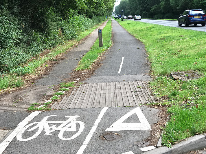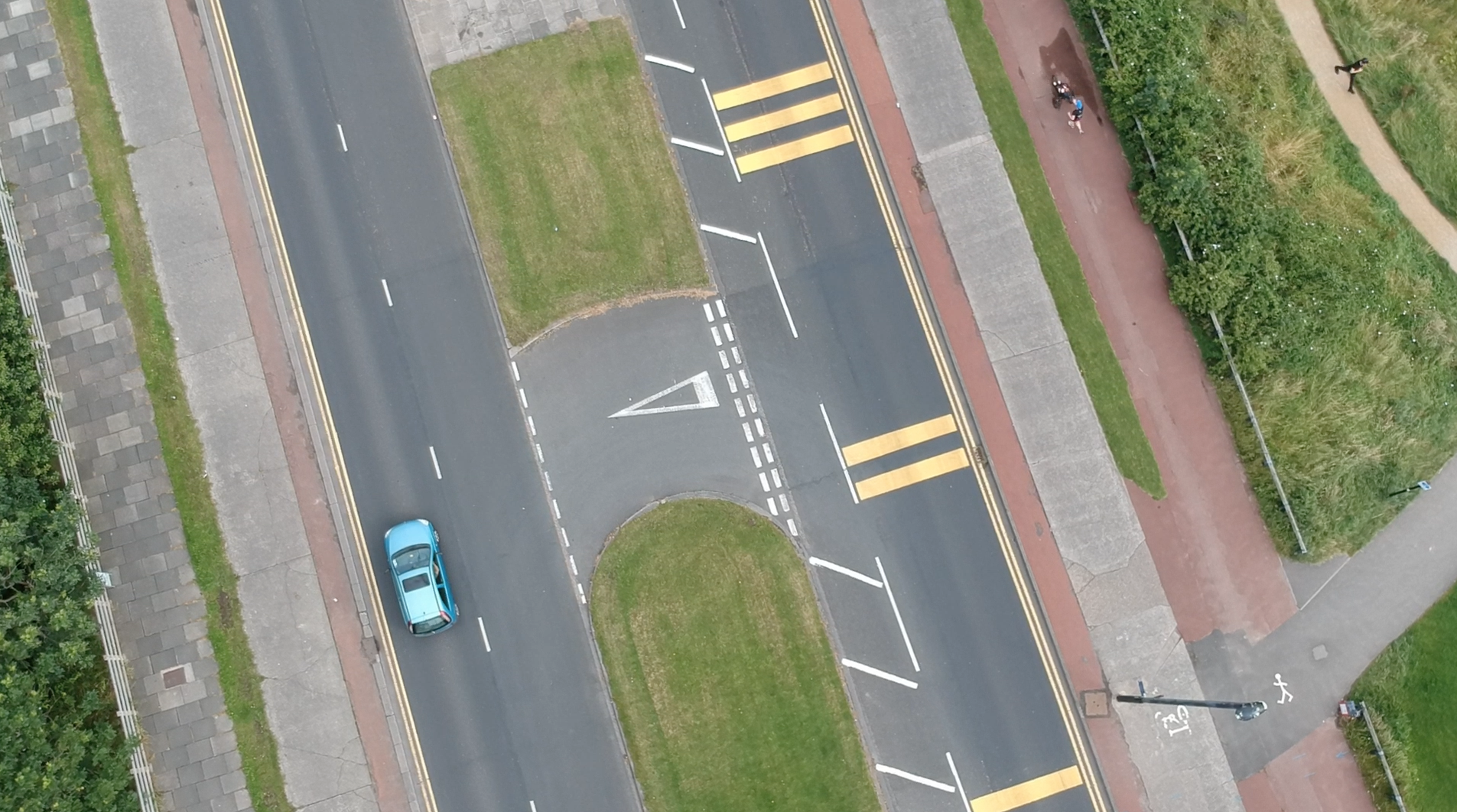
Cycle tracks on both sides of the Links road, Whitley Bay.
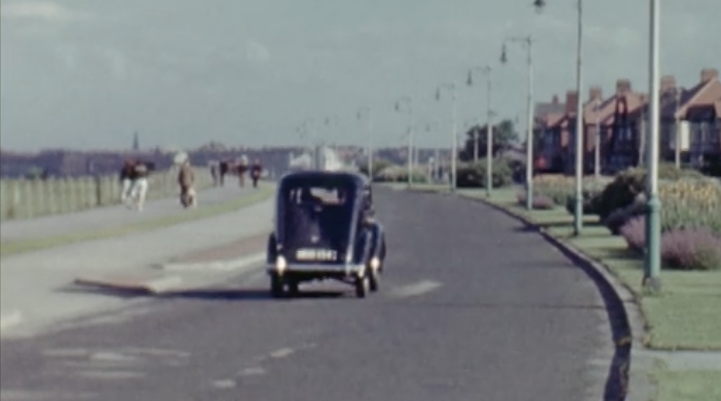
“Cycle tracks and footpaths will soon be laid to complete the picture,” it added. This suggests that the cycle tracks and footways may not have been finished until early 1939.
The tracks, footways and dual carriageway are seen briefly in British Film Institute-hosted amateur footage dating from 1950, see still on the left. Cars are seen on the road, people are walking on the footways but there are no cyclists using the cycle track.
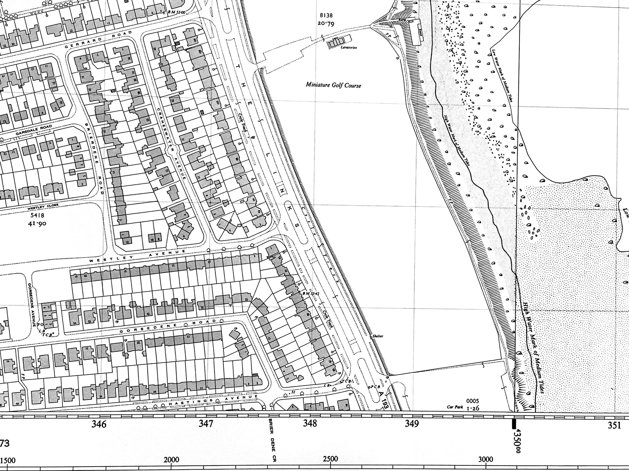
Large-scale OS mapping of Links Road, Whitley Bay, labels “Cycle Track” each side of the road.
The photos below show the start of works to resurface the 1930s-era cycle tracks with asphalt in Spring 2025.
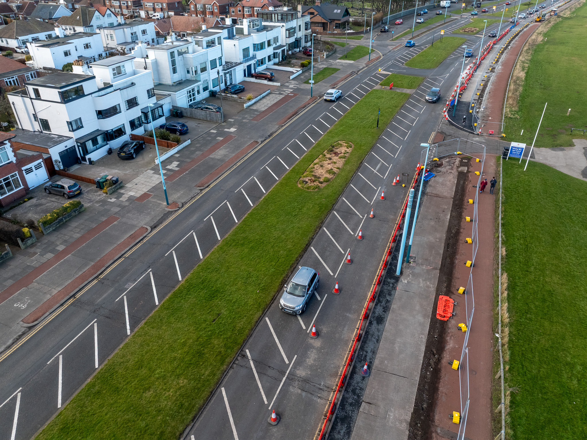
Whitley Bay’s 1930s-era cycle track on both sides of Links Road.
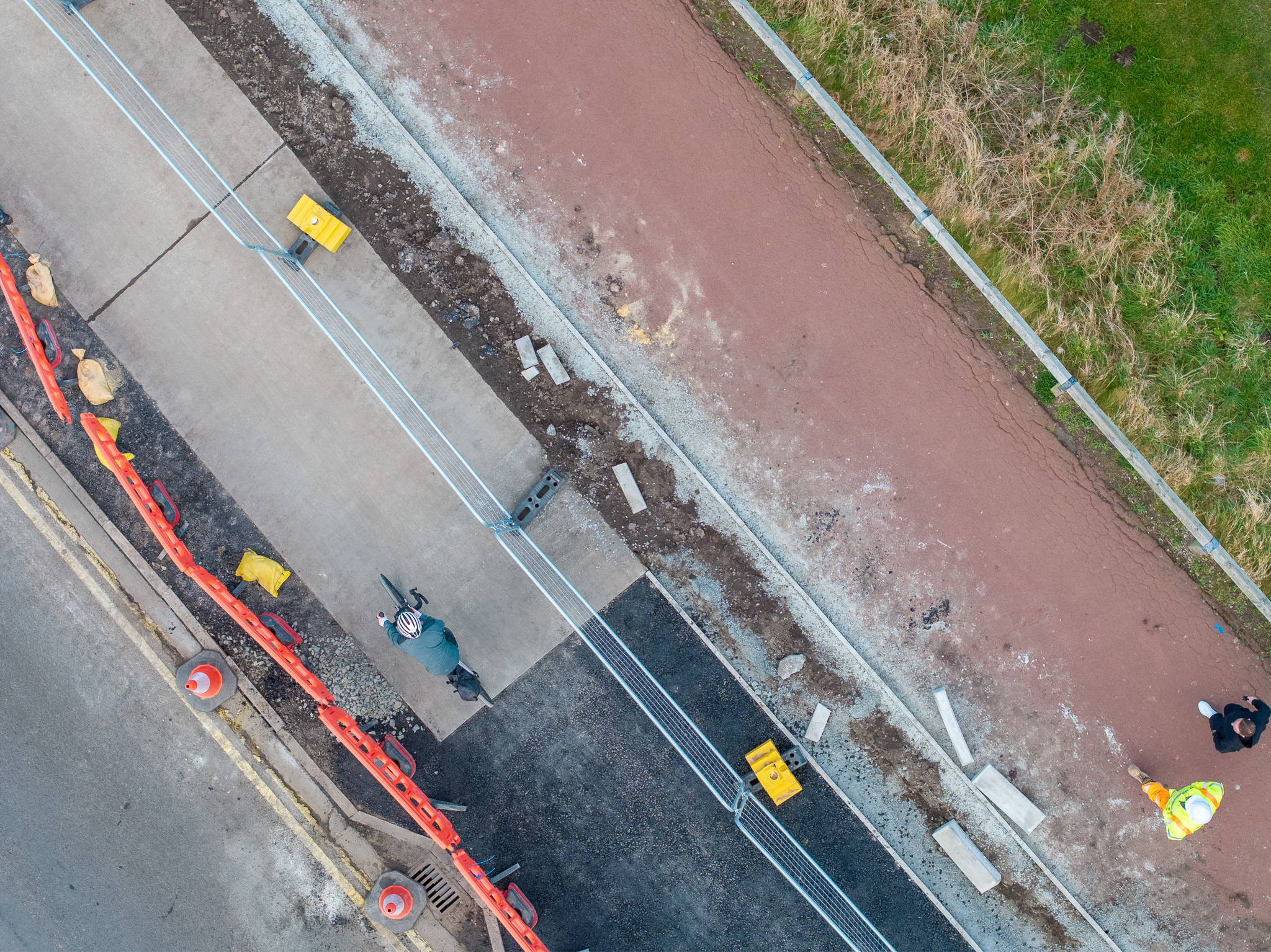
The period concrete of Whitley Bay’s 1930s-era cycle tracks will disappear under asphalt.
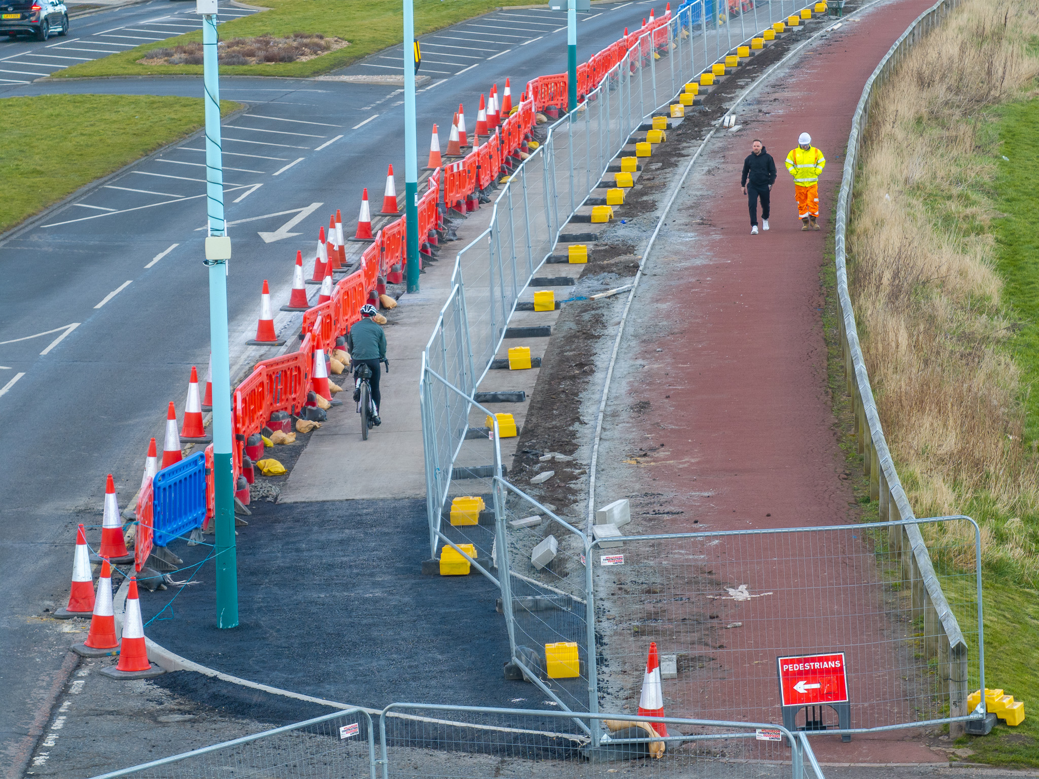
The period concrete of Whitley Bay’s 1930s-era cycle tracks will disappear under asphalt.
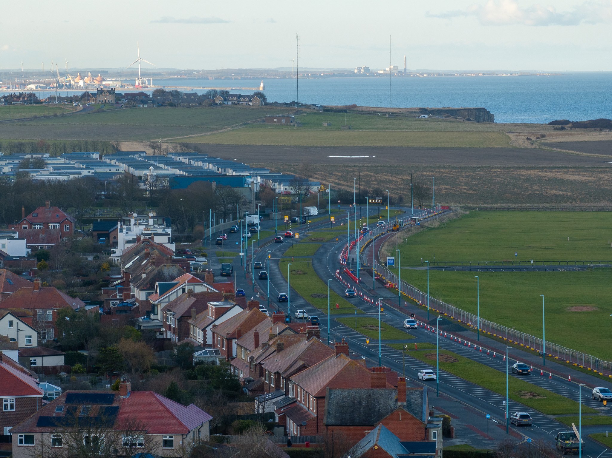
Whitley Bay’s 1930s-era cycle track on both sides of Links Road. Blyth is in the background.


