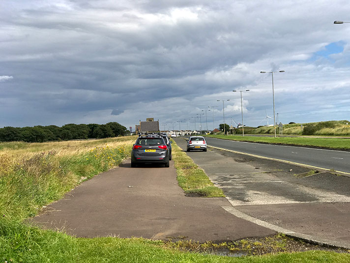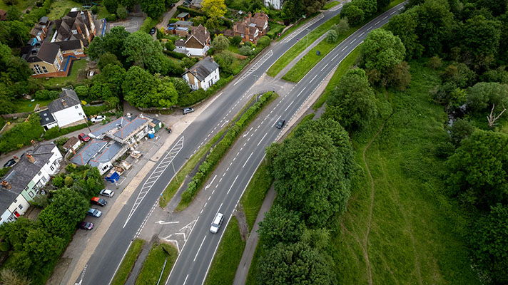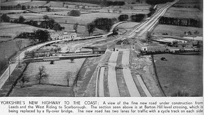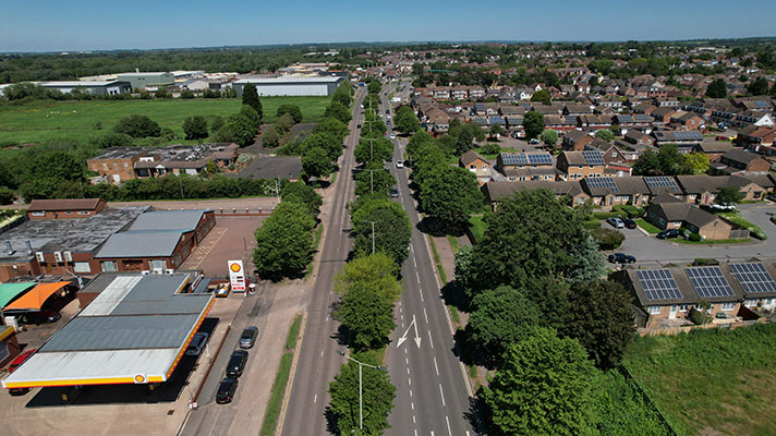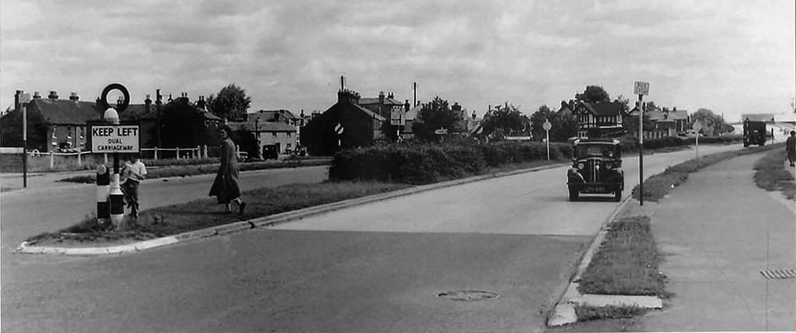
Totton bypass in the 1950s.
“The scheme to by-pass Totton by the construction of a road to the south was also among those schemes postponed in 1931 in order to curtail expenditure after the majority of the property had been acquired and work had begun,” reported the Hampshire Advertiser in 1937.
“The road was originally planned to be 80 feet in width with a single carriageway of 30 feet and two footways each 6ft. wide, but now the width adopted for the Basset-Exeter road of which the by-pass road would form part, was 120 feet to allow for the provision of twin carriageways, cycle tracks and footpaths.”
A 1940 newspaper report stated that the north carriageway of the Totton by-pass was opened for the “Easter holiday traffic” in March of that year. “The cycle track on the south is complete,” continued the report, adding that “cyclists did not make full use of it preferring to keep to the main carriage way.”


