“A new road by-passing the village North Wheatley on the route from Retford to Gainsborough is to be built by the Nottinghamshire County Council, who have received from Mr. Hore-Belisha, Minister of Transport, a grant towards the cost of the scheme estimated at £20,400,” reported the Nottingham Journal on 8 October 1936.
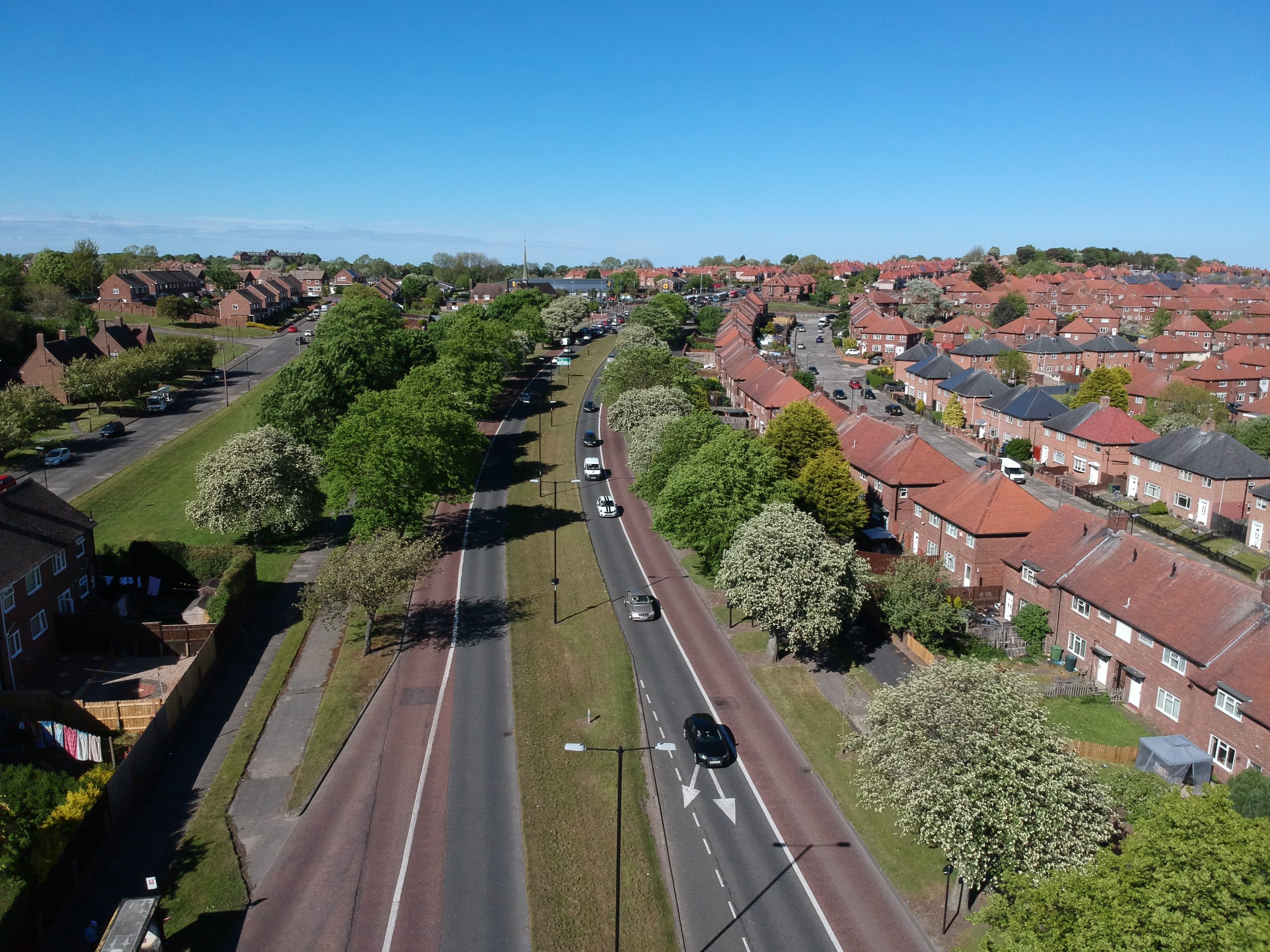
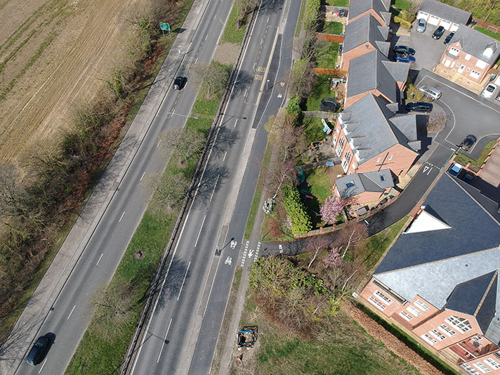
“With dual carriageways, cycle tracks and footpaths it will afford striking contrast to the existing narrow and winding road with sharp bends,” continued the newspaper.
“Each of the dual carriageways will be 50 feet wide and between them will be a grass reservation 15 feet wide. Grass verges will separate the cycle tracks and footpaths from the carriageways and from each other.”
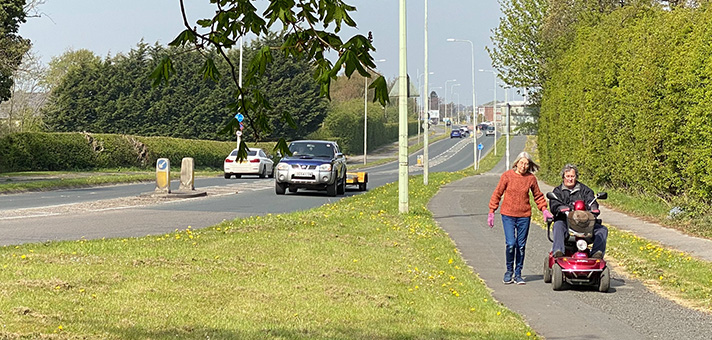
Today there’s no evidence of the footways, and it’s probable the cycle track was built on the north side only. The finished bypass — probably opened in 1938 — was also narrower than that stated in the newspaper report.


