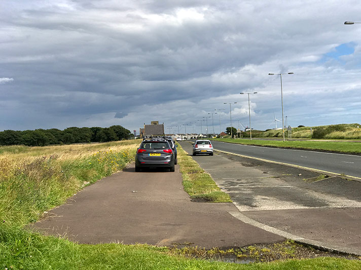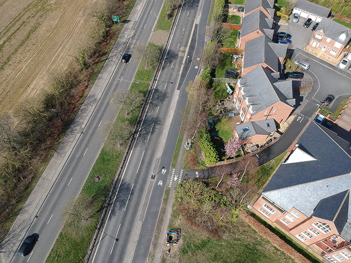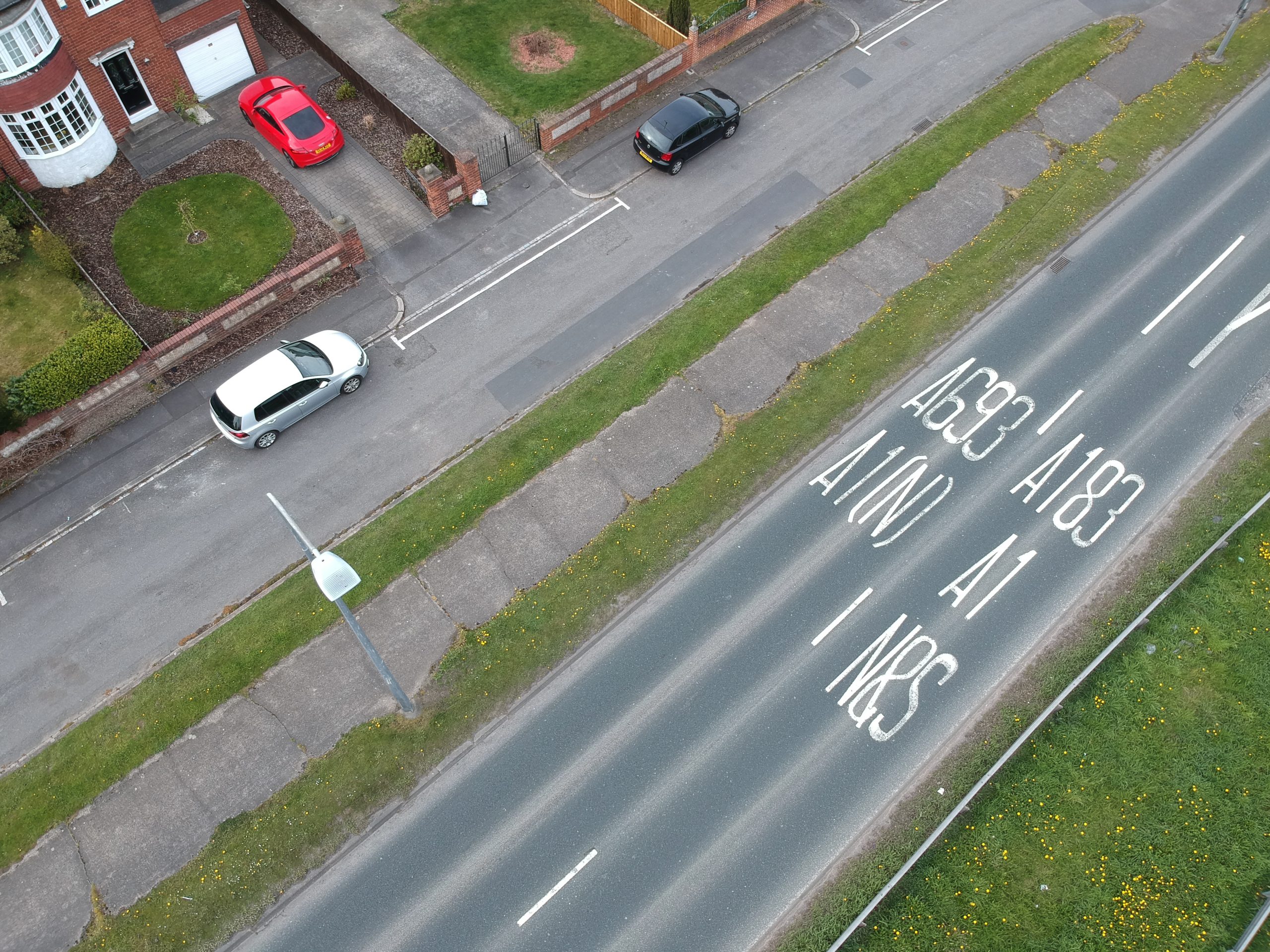
Shields Road, A167, Chester le Street

OS 1937-61
Modern Map
Date opened/built:

c.1939.

Length:

0.19 mile (312m); on west side just 201m (662ft) still extant; period cycle track continued for 0.54m (875m) on east side of what was the A183 at the time although this stretch disappeared under the later A1(M).

Width:

6ft (1.83m).

Adjoining footway:

No.

Road type:

Urban dual carriageway.

Surface:

Period concrete on west side of road, degraded modern asphalt on east side until period concrete again: https://goo.gl/maps/SaTeATxBypppTjSy8

Both sides of road:

Yes.

Adjacent to social housing:

No.

Period mapping:

OS 25 inch revised 1938, published 1946 https://maps.nls.uk/view/120935163

OpenCycleMap status:

West side marked as cycleway; east side as footway. https://www.opencyclemap.org/?zoom=17&lat=54.86345&lon=-1.56653&layers=B0000

Sources:

Period maps, Google Earth 1945 aerial layer.

Period concrete cycle tracks at Chester le Street.
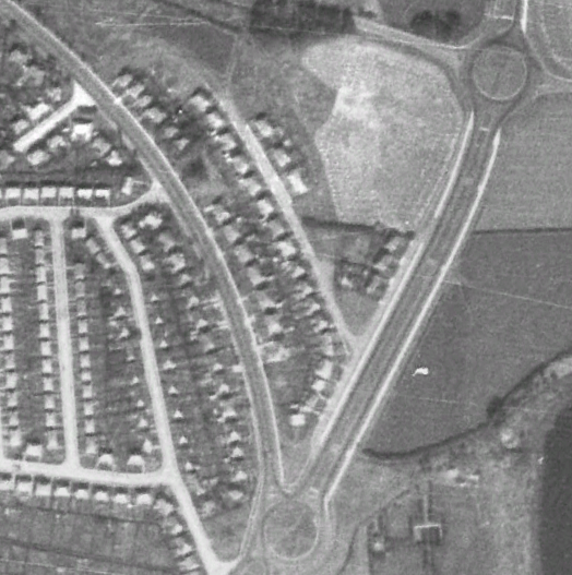
White lines visible on Google Earth’s 1945 aerial layer on both sides of the former A1 at Chester le Street are period cycle tracks.

The Chester le Street bypass — marked on period maps as the Great North Road — was the A1 in the 1930s and the stretch close to Shields Road was known as Park Road North, now the B6290. Shields Road, formerly A183, is now the A167 and leads on to the A1(M).

The ten-mile-long bypass was opened on 28 February 1931 by county surveyor W. M. J. Merrett. The cycle tracks and footways on Shields Road — which is now a spur road to the A1(M) — were probably retrofitted in 1939 or thereabouts, and are clearly visible on the Google Earth’s 1945 aerial layer. There was an extension of the cycle track northwards but this disappeared when the larger roundabout close to the A1(M) was installed.
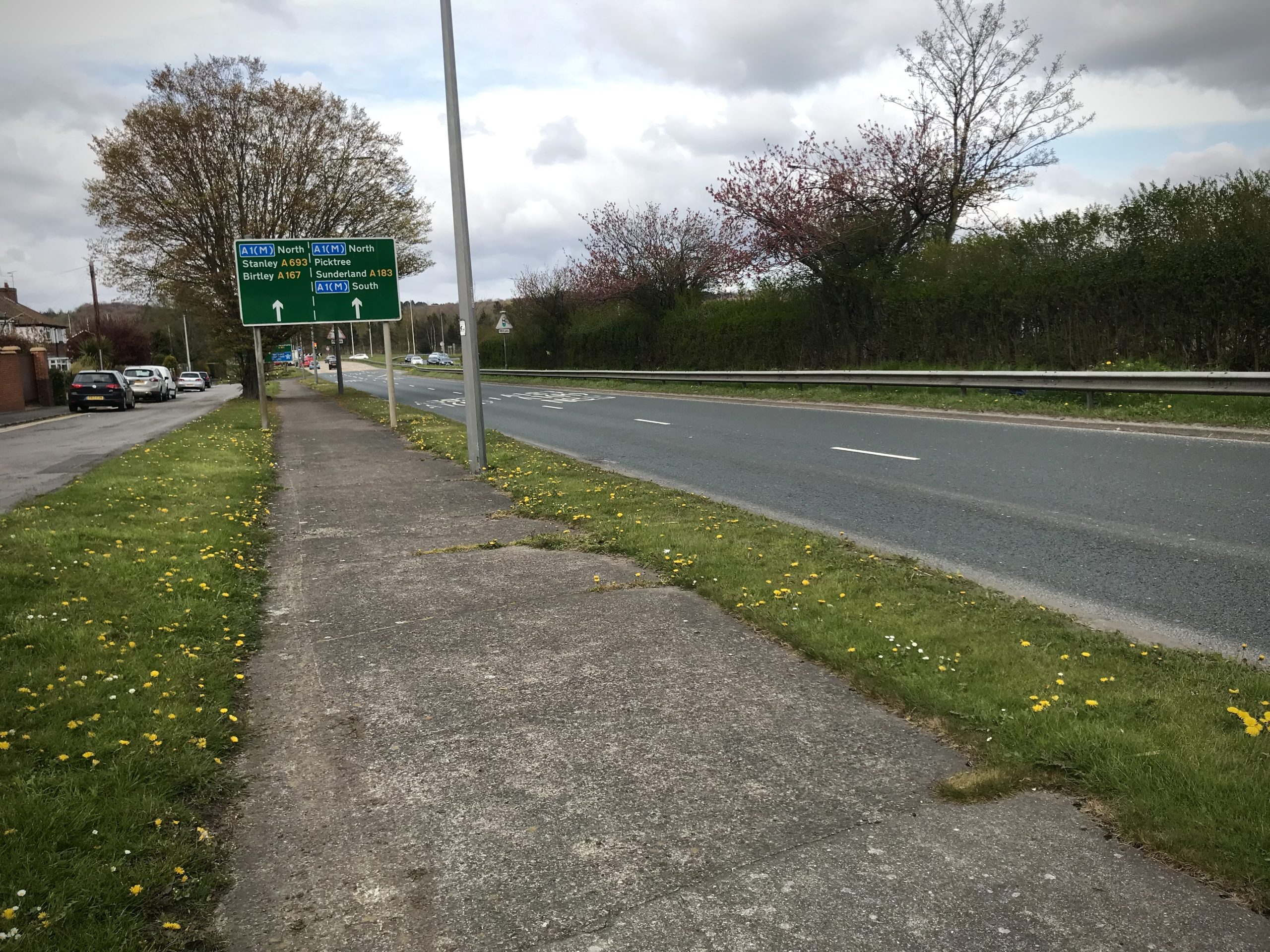
The 312-metre cycle tracks at Chester le Street are now marooned.

NOTES

The ten-mile-long bypass was opened ... Chester-le-Street Chronicle and District Advertiser, 10 May 1929.

Explore the tracks