“A section 0.85 miles long of the Sealand Road [in Chester] has been widened to 60 feet, at cost of about £17,500,” stated the government’s annual road fund report for 1936-37.
“The lay-out comprises a central 30 feet carriageway, two 6 feet cycle tracks and two 6 feet footways,” continued the entry.
An earlier newspaper report stated that the cycle tracks and footpaths would run for “1,500 yards westwards of Bumpers-lane.”
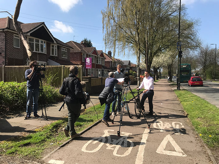
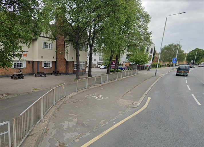
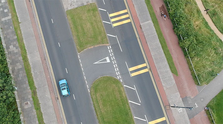
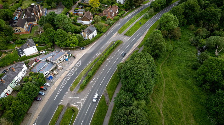
Sealand Road west of Bumper’s lane is straight, with the first corner some 1,446 yards distant, or 0.82 miles (1.32kms). However, east of Bumper’s lane there’s a twin-track road and it would be more normal for the period for the cycle tracks to be placed adjoining both of these roads. Accurate placement of the period cycle tracks is not possible because what’s on the ground today is indistinct from 1980s-style shared-use paths, and these paths extend further east and west than 1,500 yards.
It’s probable that the period cycle tracks were not of high quality — they are certainly 3ft narrower than the norm — and yet this poor provision was not warranted by traffic census stats.
“During the four years 1931 to 1935, the number of cyclists using Sealand-road, Chester, one of the main exits from the city to the west, increased by 70 per cent. to 1,700 per day,” reported a newspaper in 1936.
“Vehicle tonnage in the same period rose by only 3 per cent,” pointed out the paper.


