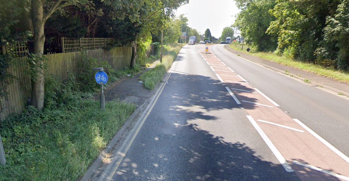
Low to the ground cycle sign on the Church Stretton bypass.
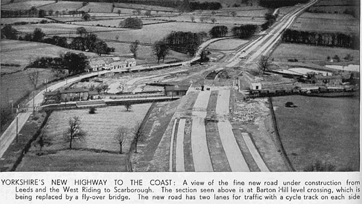
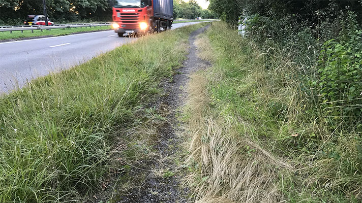
According to a 1937 letter from the Ministry of Transport to the American Embassy in London the Church Stretton bypass was equipped with asphalt-surfaced, 9ft-wide cycle tracks. They are no longer extant but a 1936 newspaper report confirms that the tracks existed. It’s possible the full length of the bypass was not finished until 1941 because an eye-witness reported seeing an opening “without ceremony” in that year.
The bypass north of Church Stretton was built on a Roman alignment.
“It is proposed that a new road should follow the main line of the old Watling Street, which, at this point, is little more than a grass grown track lying almost unrecognised in the fields in a narrow valley,” exaggerated the Belfast Telegraph in 1936.
The “new” bypass was a single carriageway road although the plan had been to add another carriageway, reported The Times in 1935.
“The by-pass will begin at a point to the south of Little Stretton,” described The Times, “and will rejoin the existing road some distance beyond All Stretton. It will have a width of 50ft., including a 20ft. carriageway and a 5ft. footpath.”
The newspaper report added: “The Minister has had under examination the question of providing dual carriageways and cycle tracks, and has received an assurance that every effort will be made to prevent building development which might cause increased expenditure should further land be required at any time for the construction of a second carriageway. One carriageway and footpath are considered adequate for present traffic requirements.”
Clearly, this situation changed because the MoT letter to the American Embassy — which only concerned the cycle track — stated that by 1937 the asphalt-surfaced cycle track was already in existence.
During the war, like many others, the Church Stretton bypass was used for
storing military vehicles.
“When we had a chance, we children would go for a long walk, and on one
occasion we walked as far north as the Strettons,” remembered Graham Berlyn, a child evacuee from Birmingham.
“As it was getting late we needed to go down to the A49 to find a bus to get home,” he told BBC’s People’s War archive.
“Unfortunately in doing so we found ourselves taken in hand by soldiers who were guarding the long lines of military vehicles parked neatly along the length of the not long previously opened Stretton Bypass, which had been taken over for use as a storage area. We were conducted to the Southern end of the storage area and told to clear off, or words to that effect!”


