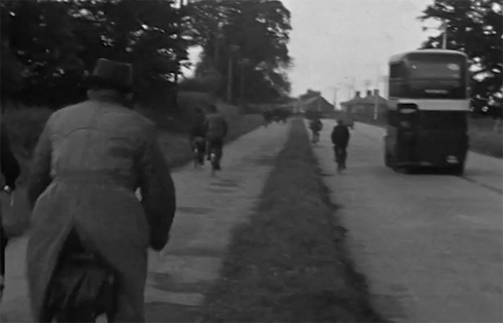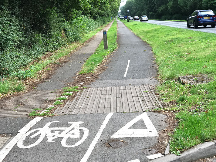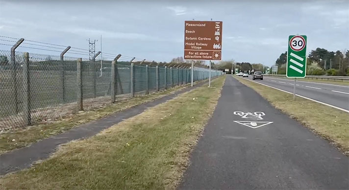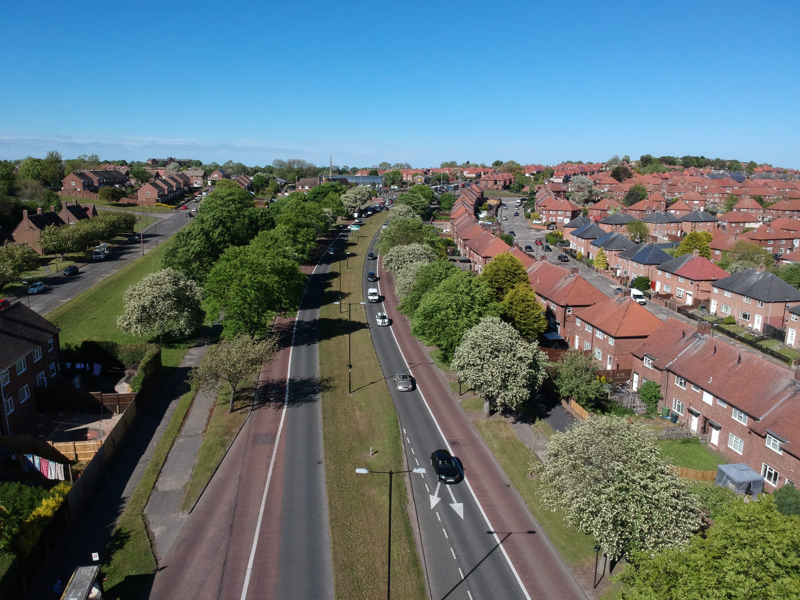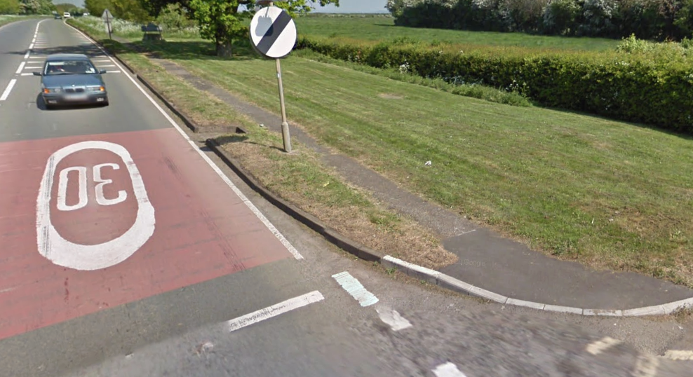
5-ft-wide cycle track — even more pathetic now than when added to the road.
Under the headline “Construction of cycle track,” the Banbury Advertiser reported in 1936 that the Oxford-Banbury road, north of Deddington, would be widened for 1.75 miles “so as to provide for the construction of a cyclists’ track.”
The “five foot pathway was approved by the Oxfordshire County Council,” continued the newspaper, adding that the council was “taking advantage of the higher rate of grant offered.”
The narrow, lacklustre cycle track now looks like a narrow, lacklustre footway, and was probably little used then just as it is little used today. It was a pathetic example, really, and likely only installed to bump up the MoT grant.


