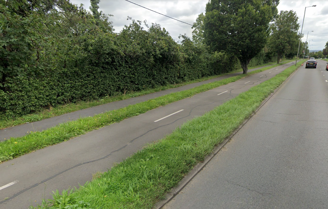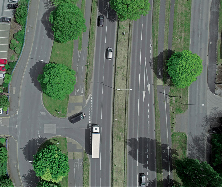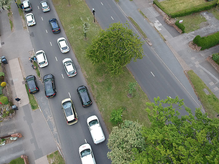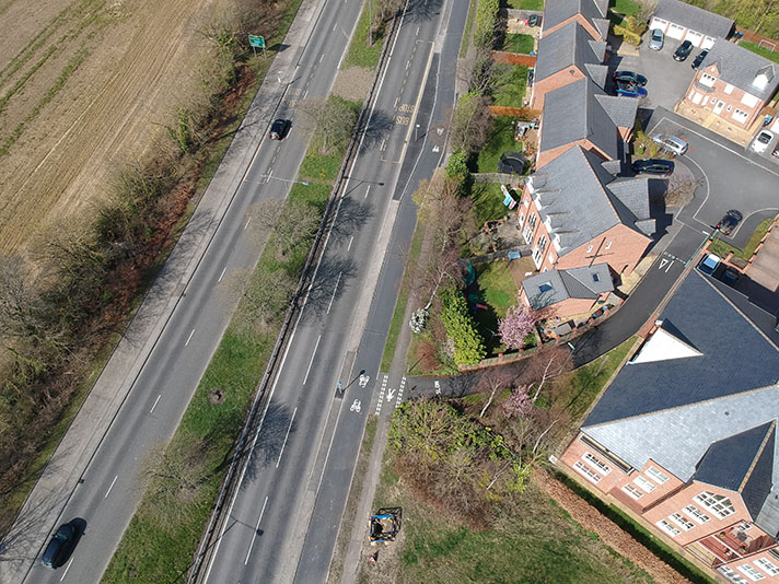
Kingston Road has a short but sweet section of period cycle tracks and footways, both sides of the road.
No sources have yet been found to confirm a period date for the short-but-sweet Kingston Road cycle tracks but they feature key hallmarks of such period tracks — such as width, placement, length, proximity to widened arterial road — and link in with confirmed period tracks on the Kingston Bypass. The tracks can also be seen on the 1945 aerial layer of Google Earth, showing as very distinct white lines the same length and alignment as cycle tracks marked on the mid-1950s OS mapping.


