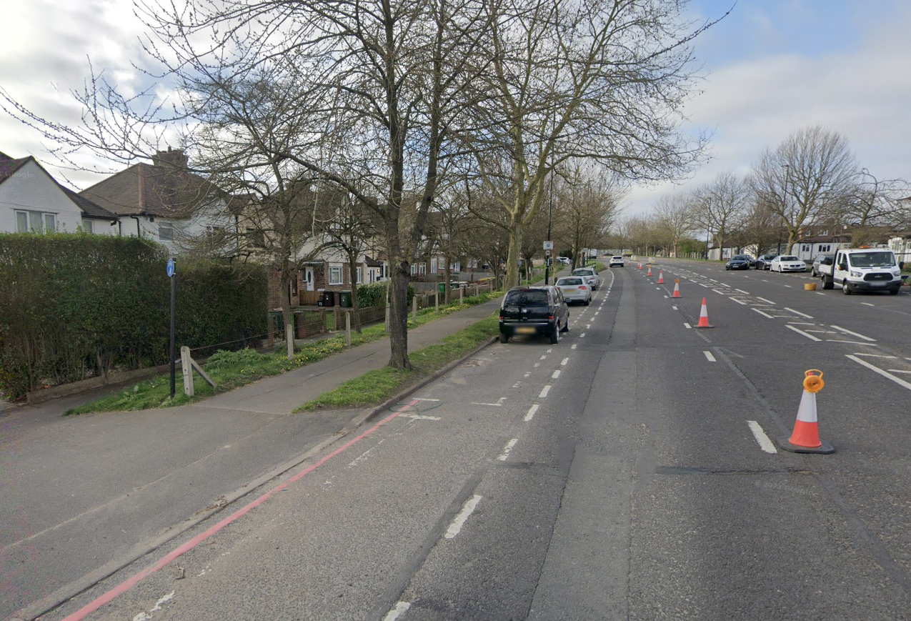
Footway and cycle track separated with wire fencing on Sutton bypass.
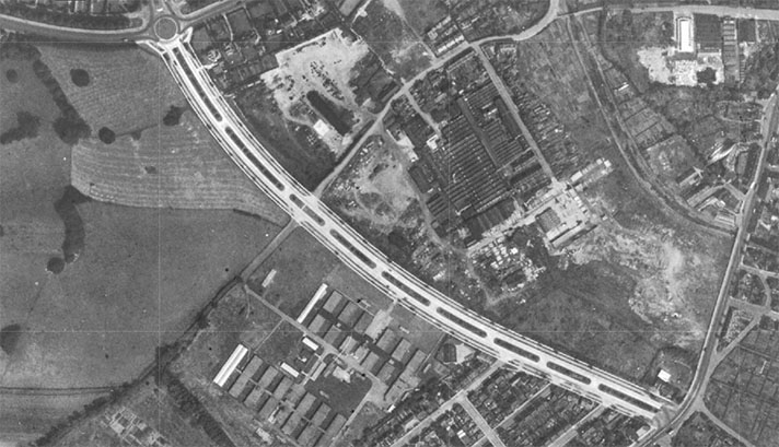
Sutton bypass was opened on 18 September 1926. Cycle tracks were retrofitted to most of the road starting early in 1936.
In the 1920s and 1930s, St. Helier Avenue — which also has cycle tracks, see ST. HELIER, MORDEN, LONDON — was considered part of the Sutton bypass but, for this entry, the bypass starts at the Rosehill roundabout at the base of St. Helier Avenue. (This six-way junction is oval rather than round; the shape is period.)
Sutton bypass comprises — from north to south — Reigate Avenue, Oldfields Road, St. Dunstan’s Hill, and Belmont Rise.
Discussing the Brighton Road that was to be upgraded with “dual carriageways with cycle tracks,” The Scotsman in March 1938 said the “improvements are to be continued as far as the Sutton by-pass, the northern end of which has been already reconstructed in accordance with the most modern layout.”
And by “most modern layout” the period author meant “cycle tracks and dual carriageways.”
A February 1936 report in Roads and Road Construction stated that a “strip of road, [four and a half] miles in length, is being laid out with these paths” starting on St. Helier Avenue.
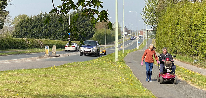
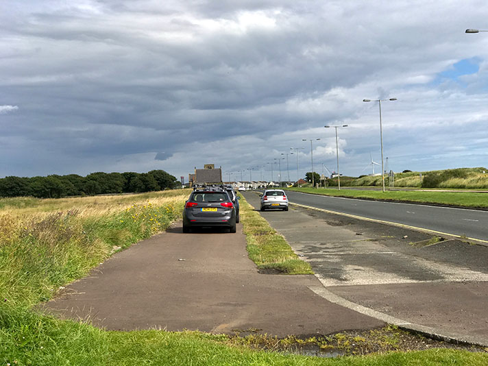
The cycle tracks on the Sutton bypass are still there, and unlike on St. Helier Avenue, they have not been given over to motorists for pavement parking. The cycle track is mostly still separated from the footway by a thin grass verge.
Here — https://goo.gl/maps/TMiJVY5fbP1ouWHD6 — the cycle track and footway are separated with concrete posts and wire fencing, a 1930s treatment also used on St. Helier Avenue and on Eastern Avenue, London.
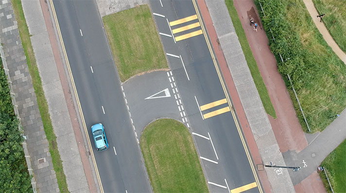
In this location — https://goo.gl/maps/qwx8vtthKkNnNZTx9 — the cycleway diverts on to the road, with paint as the only protection. On the opposite side of the road the cycle track is kerb-protected. The protected cycle track continues here: https://goo.gl/maps/ETNBBf3wfrBJzrSY9
There are several other truncations. There are also modern problems — such as car queues at times waiting to get into a McDonald’s — but, remarkably, the cycle tracks and footways beside the Sutton bypass have survived surprisingly unscathed.


