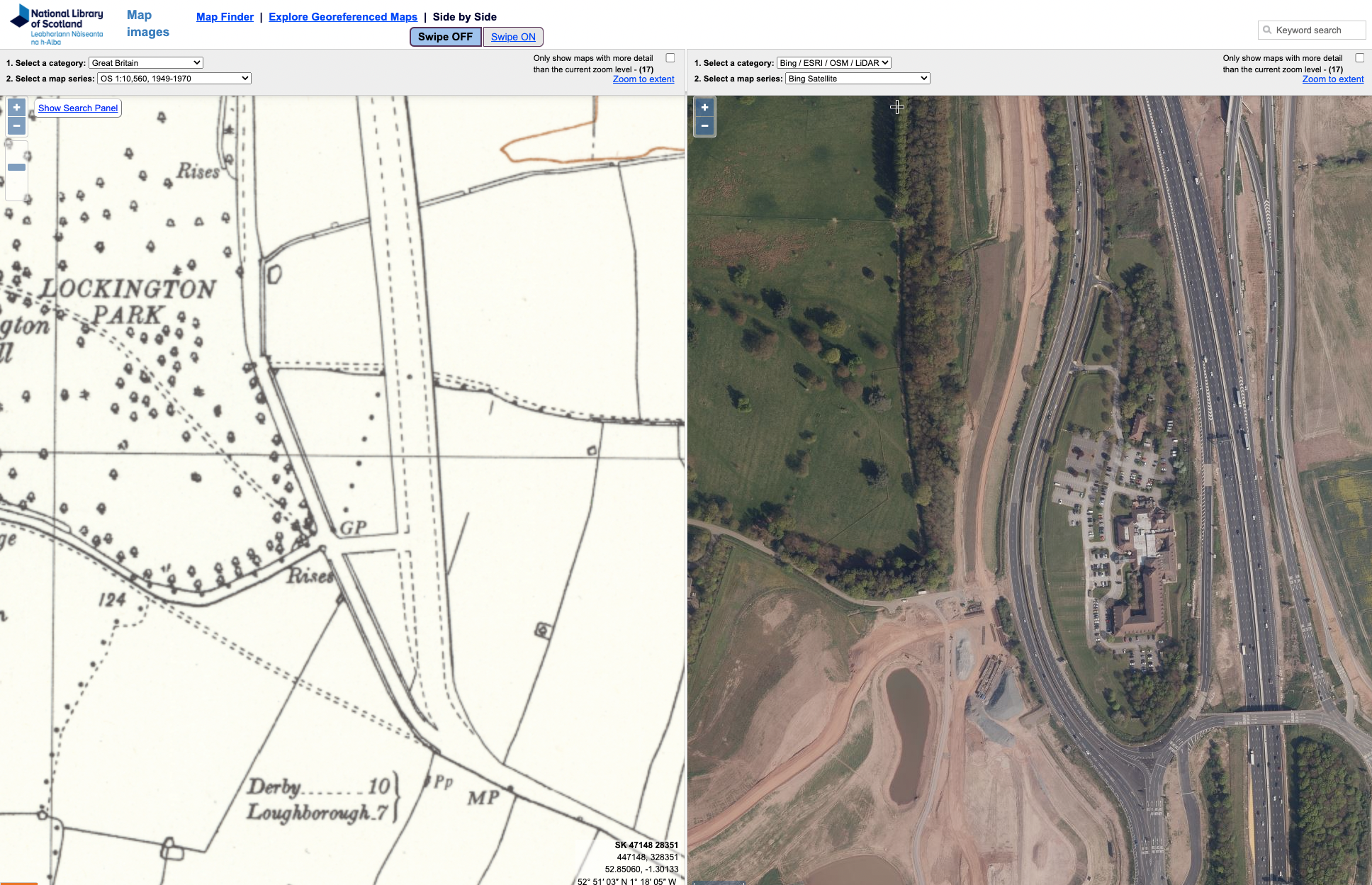
NLS’s “Side by side” OS mapping of Lockington.
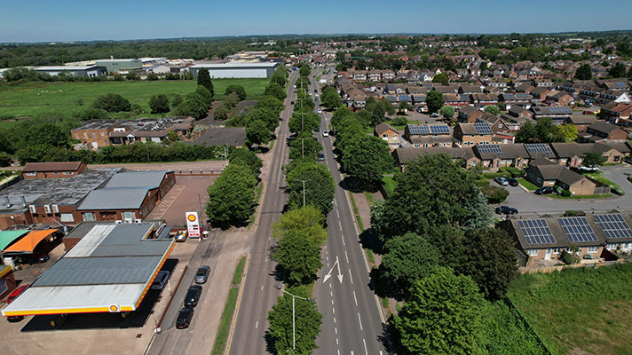
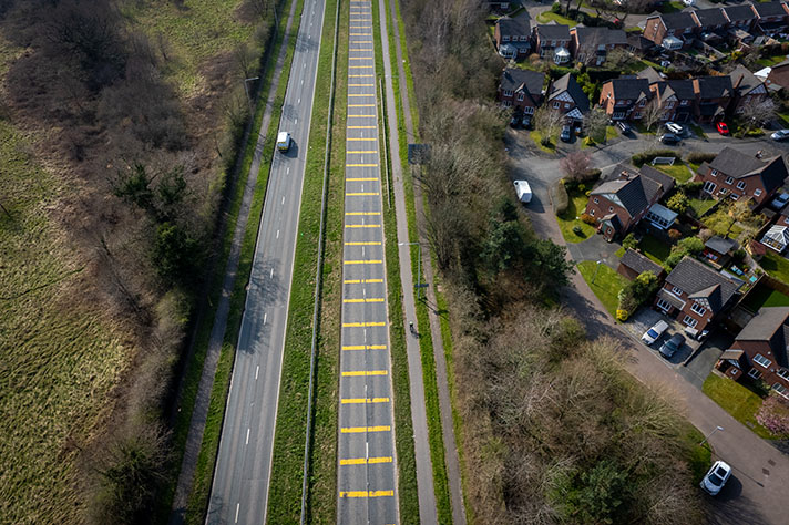
The “side by side” function of the National Library of Scotland’s online mapping shows that this loop off the M1 used to be the A6, with the 1930s road partly underneath the modern Hilton Hotel complex. The period cycle track has been recreated on half of this loop of road, with the northernmost length rejoining here — https://goo.gl/maps/gAdxo5ZDvzuvejAa7 — and on the original alignment.
“The Minister of Transport has given instructions for work to begin the reconstruction of the section of the Loughborough-Derby trunk road (Route A6) three-quarters of a mile long, between Lockington railway bridge and Sawley cross-roads,” reported the Nottingham Journal in 1938.
“The section of road concerned, which now measures about 55 feet between boundaries, will be widened to 120 feet and remodelled according to modern standards with dual 22 feet carriageways, dual cycle tracks and footpaths. Land for the widening has been acquired already, and the scheme, which is being carried out by the Leicestershire County Council as agents for the Minister, will probably be completed by August of next year.”
According to a September 1939 report from Leicester County Surveyor this estimate was incorrect:
“By the 31st of March, 1939, progress on Trunk Route A6 consisted in a commencement the transforming of the lengths between Lockington and Sawley Crossroads,” said the report.
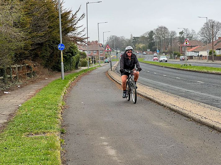
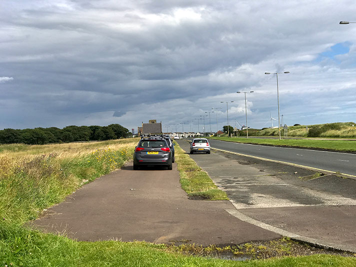
With so much remodelling having taken place on this loop it’s impossible to work out the width of the original cycle tracks but a 1937 newspaper story said they were planned to be 6-ft, with an adjoining footway. Today it’s a wide, shared-use path.


