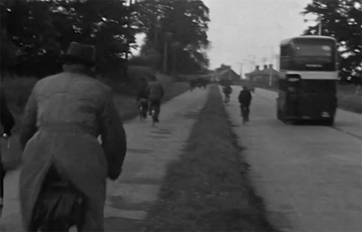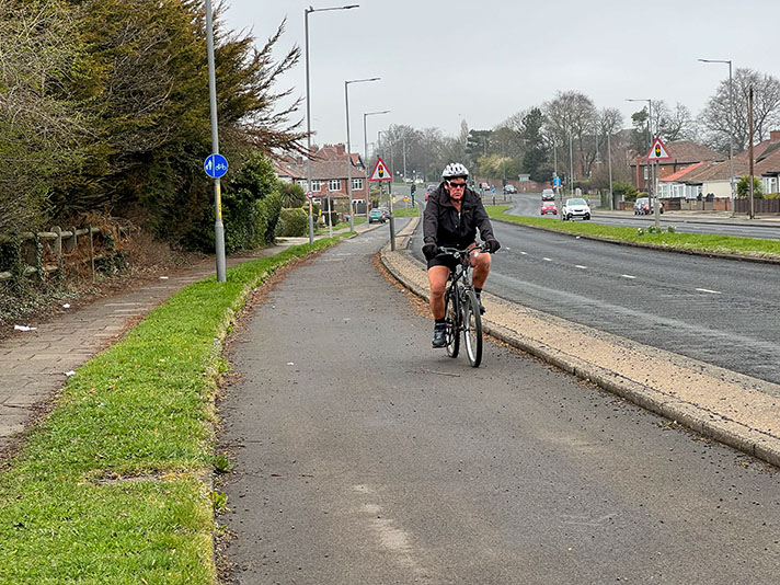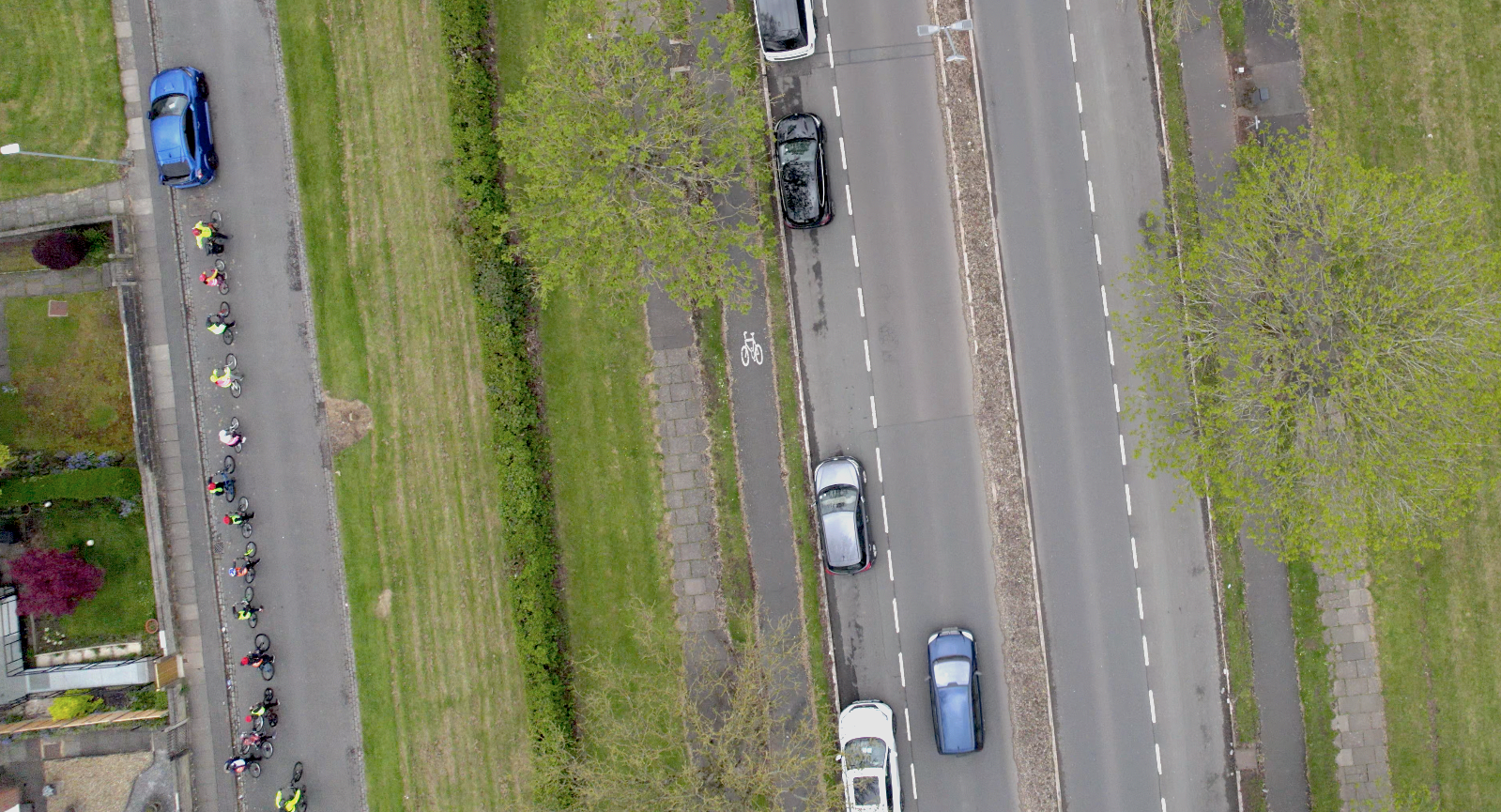
A school group on bikes ignores Harpfield Road’s narrow cycle tracks.
The 6ft-wide cycle tracks on Harpfield Road in Stoke were installed some time after September 1935.
“Following a letter from the Ministry of Transport stating that the Minister had decided to make available increased grants for works of improvements on Class 1 roads where the provision of dual carriageways and cycle tracks was made,” reported the Staffordshire Sentinel in 1935, the Highways Committee recommended that the Ministry be informed that, in connection with the scheme already submitted for the 80ft Harpfield bypass road, the committee were prepared to consider proceeding with the full width construction, including dual carriageway and cycle tracks.”
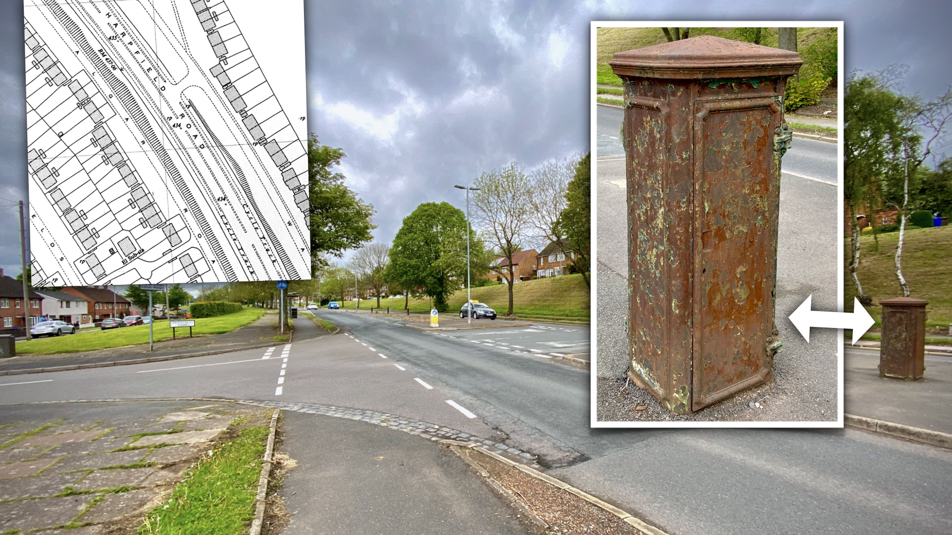
The footway beside the cycle track is paved with flagstones. There’s also still period street furniture on Harpfield Road: an electric junction box?
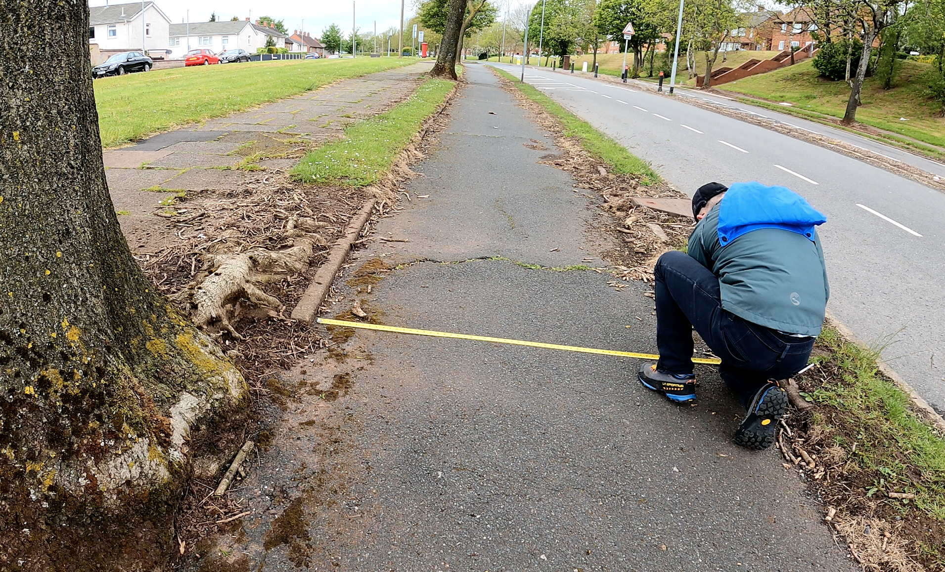
Harpfield Road’s cycle tracks are just 6ft-wide; the asphalt is rippled thanks to tree roots.
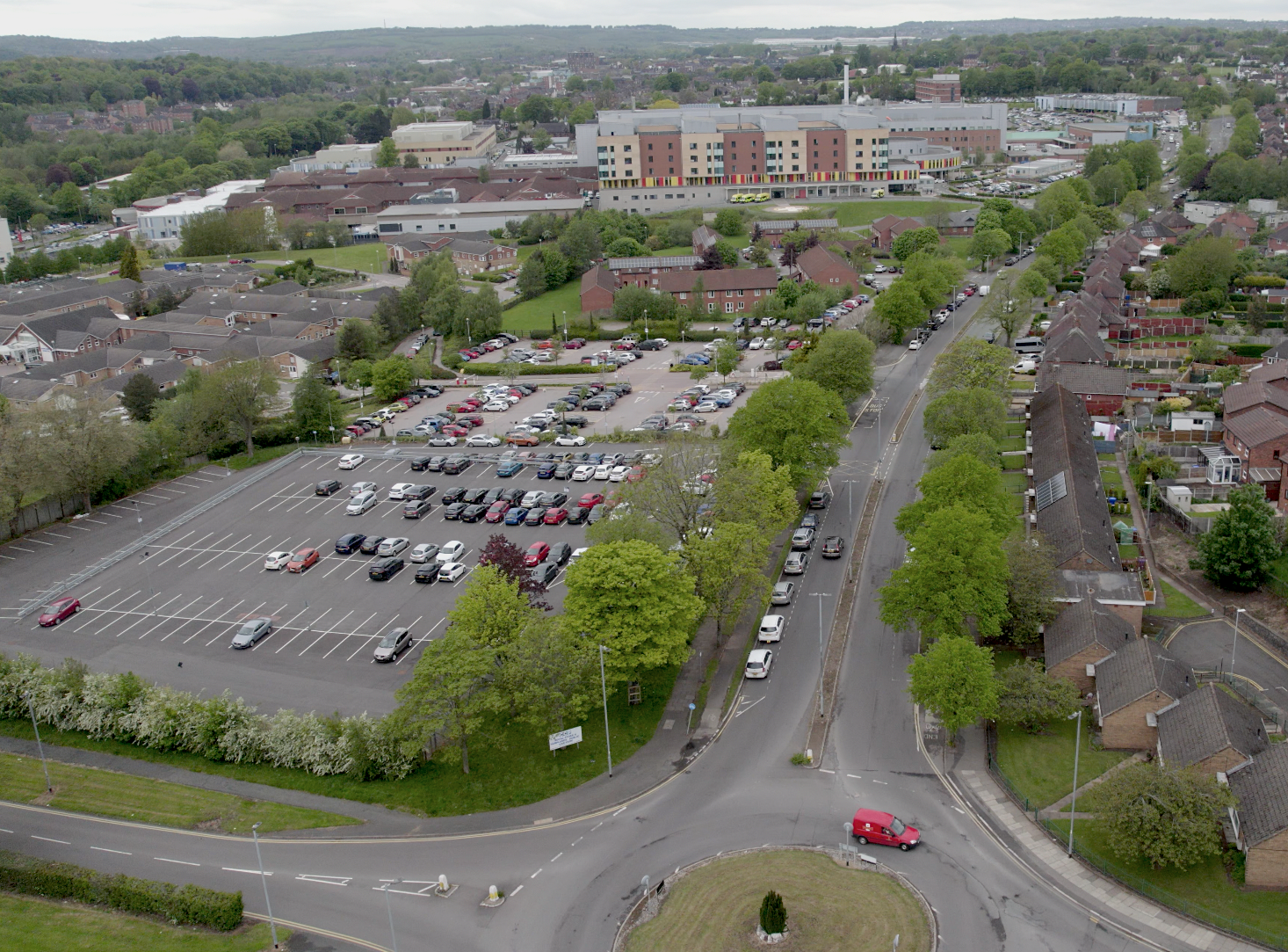
The cycle tracks lead to Harplands Hospital.


